Martyrs' Moss

Downs, Moorland in Ayrshire

Scotland

Martyrs' Moss

Opencast mining in Nithsdale One of many areas of opencast mining in East Ayrshire, now presumably inactive as a result of the financial difficulties of Scottish Coal, which is in administration, with questions as to who will pay for the restoration of the landscape.
Opencast mining in Nithsdale Credit: M J Richardson

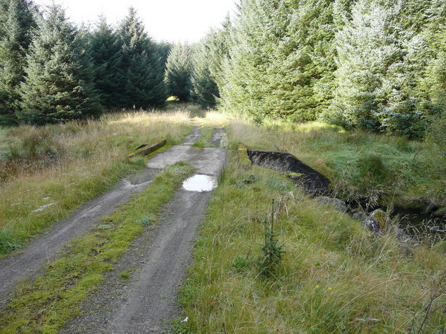
Martyrs' Moss is a serene and historically significant site located in Ayrshire, Scotland. This area encompasses both downs and moorland, offering visitors a diverse natural landscape to explore. Spanning approximately 200 acres, Martyrs' Moss is renowned for its rich biodiversity and captivating scenery.

The moss is home to numerous species of flora and fauna, making it a haven for nature enthusiasts and wildlife lovers. The downs present gentle slopes covered in heather, while the moorland offers expansive vistas of rolling hills and open spaces. Visitors can witness a variety of bird species, including curlews, lapwings, and skylarks, soaring across the sky. Additionally, the moss is home to a plethora of plant species such as bog cotton, bilberry, and heath spotted orchids.

Apart from its natural beauty, Martyrs' Moss holds a significant place in history. It derives its name from the martyrs who were executed during the religious conflicts of the 17th century. The moss served as a secret meeting place for the Covenanters, a group of Scottish Presbyterians, who sought religious freedom amidst political turmoil. The site bears witness to the struggles and sacrifices made by these individuals and has become a symbol of their resilience.

Today, Martyrs' Moss continues to draw visitors seeking solace in nature and those interested in delving into Scotland's past. It offers a peaceful retreat where one can immerse themselves in the beauty of the surroundings while reflecting on the historical significance of the area.

If you have any feedback on the listing, please let us know in the comments section below.

Martyrs' Moss Images

Images are sourced within 2km of 55.386363/-4.3316768 or Grid Reference NS5212. Thanks to Geograph Open Source API. All images are credited.

Opencast mining in Nithsdale One of many areas of opencast mining in East Ayrshire, now presumably inactive as a result of the financial difficulties of Scottish Coal, which is in administration, with questions as to who will pay for the restoration of the landscape.
Opencast mining in Nithsdale
One of many areas of opencast mining in East Ayrshire, now presumably inactive as a result of the financial difficulties of Scottish Coal, which is in administration, with questions as to who will pay for the restoration of the landscape.
Opencast at Waterhead The remains of opencast mining in amongst the forestry; there is a lot in this area but since the demise of Scottish Coal its future, and any restoration, is in the balance.
Opencast at Waterhead
The remains of opencast mining in amongst the forestry; there is a lot in this area but since the demise of Scottish Coal its future, and any restoration, is in the balance.
Down Black Water Looking down this moorland burn from the end of the forest track. Access to the rest of the power line comes from the other side.
Down Black Water
Looking down this moorland burn from the end of the forest track. Access to the rest of the power line comes from the other side.
Approaching Black Water A lovely spot in the forest. The power line continues towards the Coylton sub-station, near Coalhall.
Approaching Black Water
A lovely spot in the forest. The power line continues towards the Coylton sub-station, near Coalhall.
From Black Water to Green Hill If ever a place was wrongly named, this is it. Green Water and Black Hill would describe the scene more accurately. The hill is part of an old open-cast site.
From Black Water to Green Hill
If ever a place was wrongly named, this is it. Green Water and Black Hill would describe the scene more accurately. The hill is part of an old open-cast site.
The end of the road Although the power line continues on its way, the forest track comes to an end at Black Water.
The end of the road
Although the power line continues on its way, the forest track comes to an end at Black Water.
Heather moorland near Over Hill This area will look specially attractive in late summer when the heather is blooming.
Heather moorland near Over Hill
This area will look specially attractive in late summer when the heather is blooming.
Craigman Opencast Mine The road has a gate across it at this point. I'm unsure whether this mine is abandoned or awaiting restoration but there was no apparent activity on the site.
Craigman Opencast Mine
The road has a gate across it at this point. I'm unsure whether this mine is abandoned or awaiting restoration but there was no apparent activity on the site.
Little Rigend Hill, New Cumnock Wee Rigen'slopes down to the River Nith
Little Rigend Hill, New Cumnock
Wee Rigen'slopes down to the River Nith
Forestry Road Forestry road
Forestry Road
Forestry road
Forestry Road Forestry road
Forestry Road
Forestry road
Black Water Black Water burn
Black Water
Black Water burn
The bridge over Black Water burn The bridge over Black Water burn looking west.
The bridge over Black Water burn
The bridge over Black Water burn looking west.
The Edge of the Forest The Edge of the Forest.
The Edge of the Forest
The Edge of the Forest.
Forest Fire Break Forest fire break look out onto Loch Rig.
Forest Fire Break
Forest fire break look out onto Loch Rig.
Forestry Road Forestry road
Forestry Road
Forestry road
Forestry Road Forestry road
Forestry Road
Forestry road
Forestry Road Forestry Road
Forestry Road
Forestry Road
Show me another place!

Martyrs' Moss is located at Grid Ref: NS5212 (Lat: 55.386363, Lng: -4.3316768)

Unitary Authority: East Ayrshire

Police Authority: Ayrshire

What 3 Words

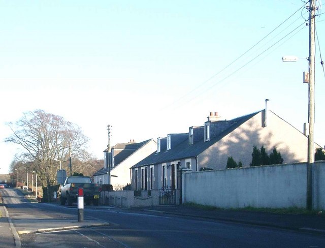
///haggling.upset.shocks. Near Dalmellington, East Ayrshire

Related Wikis

Skares

Skares is a village in East Ayrshire, Scotland. Skares is located some 3 miles (5 km) southwest of Cumnock. It used to have a football team called Skares...
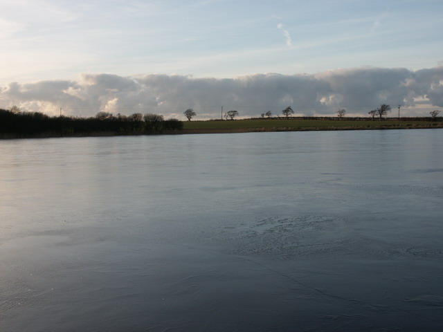
Belston Loch

Belston Loch (NS 34894 16186), also recorded as Dromsmodda Loch is a small freshwater loch in the East Ayrshire Council Area, near Sinclairston, 2 miles...

Skares railway station

Skares railway station was a railway station serving the former mining village of Skares, East Ayrshire, Scotland. The station was originally part of the...

Ochiltree railway station

Ochiltree railway station was a railway station serving the village of Ochiltree, East Ayrshire, Scotland. The station was originally part of the Annbank...

Have you been to Martyrs' Moss?

Leave your review of Martyrs' Moss below (or comments, questions and feedback).