Petrockstow Moor

Downs, Moorland in Devon Torridge

England

Petrockstow Moor

Gatehouse of the Clinton Estate, Merton This is one of two gatehouses of the Clinton Estate in Merton
Gatehouse of the Clinton Estate, Merton Credit: Thor Beverley

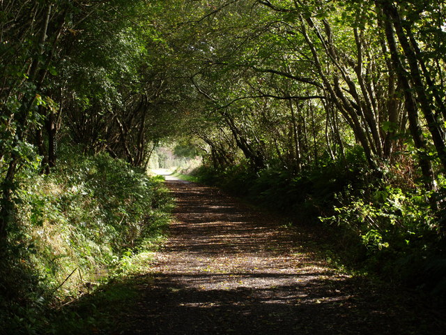
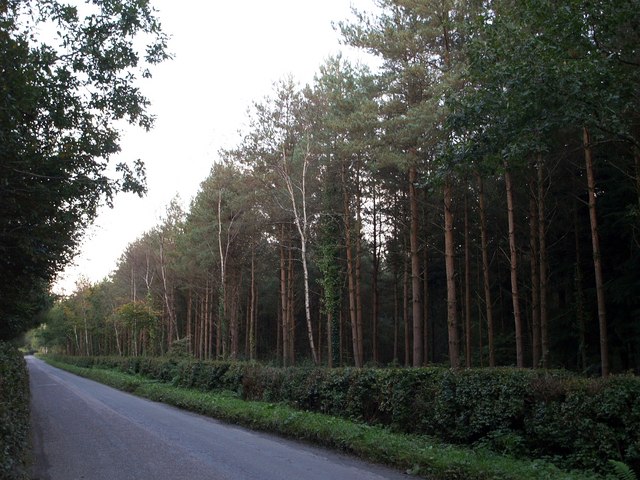
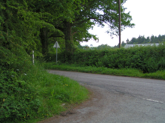
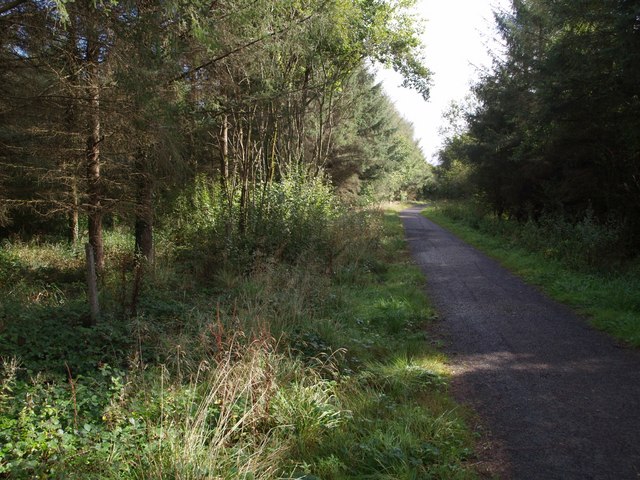
Petrockstow Moor is a vast expanse of open moorland located in Devon, England. Covering an area of approximately 500 acres, the moor is situated on the western edge of Dartmoor National Park. The landscape is characterized by rolling hills, heather-covered moorland, and patches of woodland, creating a diverse and picturesque environment.

The moor is home to a variety of wildlife, including birds of prey such as buzzards and kestrels, as well as small mammals like rabbits and voles. The area is also known for its rich plant life, with an abundance of heather, gorse, and grasses covering the moorland.

Petrockstow Moor is a popular destination for outdoor enthusiasts, offering opportunities for hiking, birdwatching, and nature photography. The moor is also a designated Site of Special Scientific Interest (SSSI), recognizing its importance for conservation and biodiversity.

Visitors to Petrockstow Moor can enjoy stunning views of the surrounding countryside, as well as the chance to explore this unique and unspoiled natural landscape.

If you have any feedback on the listing, please let us know in the comments section below.

Petrockstow Moor Images

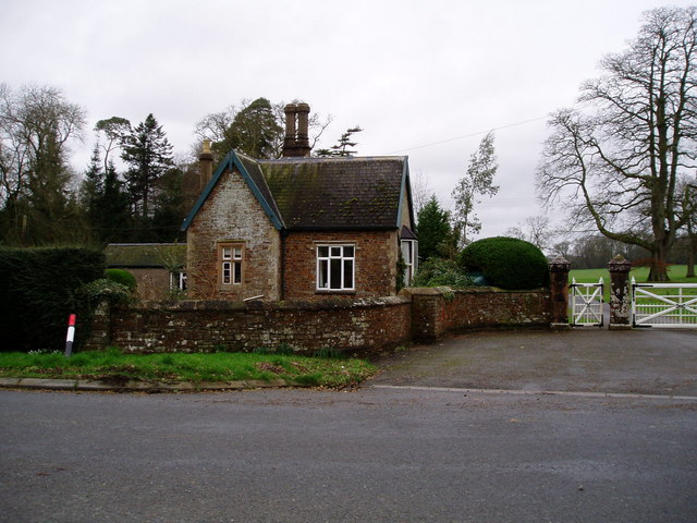
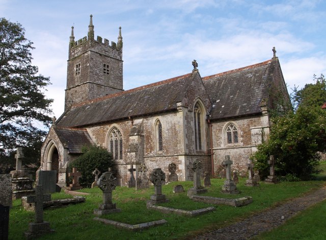
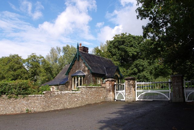
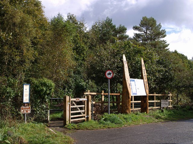
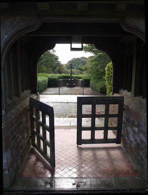
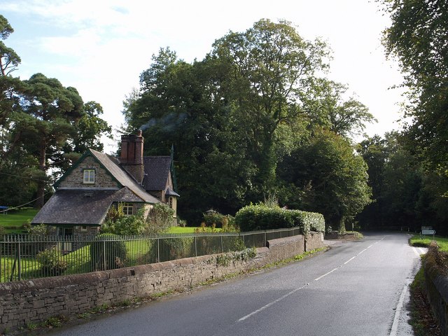
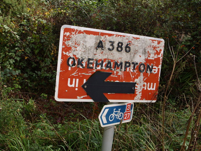
Images are sourced within 2km of 50.869515/-4.1001375 or Grid Reference SS5209. Thanks to Geograph Open Source API. All images are credited.

Gatehouse of the Clinton Estate, Merton This is one of two gatehouses of the Clinton Estate in Merton
Gatehouse of the Clinton Estate, Merton
This is one of two gatehouses of the Clinton Estate in Merton
St James the Less church, Huish The church was heavily restored by G E Street in 1873; only the medieval tower remains as it was.
St James the Less church, Huish
The church was heavily restored by G E Street in 1873; only the medieval tower remains as it was.
Lower Lodge Close to Kingsford Bridge on the A386 over the Little Mere River.
Lower Lodge
Close to Kingsford Bridge on the A386 over the Little Mere River.
Tarka Trail notices, Petrockstowe station A small car park to the right makes this a spot for starting walks or cycle rides along the trail, which here follows the line of the North Devon and Cornwall Junction Light Railway. Going through the gate on the left and turning right will take you past the site of the former station and on through woodland towards Meeth. The wood in the background is Heathmoor Plantation.
Tarka Trail notices, Petrockstowe station
A small car park to the right makes this a spot for starting walks or cycle rides along the trail, which here follows the line of the North Devon and Cornwall Junction Light Railway. Going through the gate on the left and turning right will take you past the site of the former station and on through woodland towards Meeth. The wood in the background is Heathmoor Plantation.
Berry Farm Seen from the lane from Petrockstowe to Winswell, close to a bridge over a stream.
Berry Farm
Seen from the lane from Petrockstowe to Winswell, close to a bridge over a stream.
Bourna A thatched farmhouse by the A386, and sited where the Tarka Trail runs alongside the main road for a short distance.
Bourna
A thatched farmhouse by the A386, and sited where the Tarka Trail runs alongside the main road for a short distance.
Bourna Another view of the farmhouse shown in <a href="https://www.geograph.org.uk/photo/569611">SS5410 : Bourna</a>. The land behind slopes gently away towards the River Torridge. Seen from the Tarka Trail as it passes along the A386.
Bourna
Another view of the farmhouse shown in SS5410 : Bourna. The land behind slopes gently away towards the River Torridge. Seen from the Tarka Trail as it passes along the A386.
Lych gate, Huish Looking out from the churchyard of <a href="https://www.geograph.org.uk/photo/567493">SS5311 : St James the Less church, Huish</a>. The paving beyond the tiles in very similar to <a href="https://www.geograph.org.uk/photo/569349">SS5408 : Path to church, Meeth</a>. Beyond the roadway is a calvary.
Lych gate, Huish
Looking out from the churchyard of SS5311 : St James the Less church, Huish. The paving beyond the tiles in very similar to SS5408 : Path to church, Meeth. Beyond the roadway is a calvary.
Lower Lodge Another view of <a href="https://www.geograph.org.uk/photo/567513">SS5211 : Lower Lodge</a> from the A386 at Kingsford Bridge over the Little Mere River. The junction on the right is with a lane to Petrockstowe.
Lower Lodge
Another view of SS5211 : Lower Lodge from the A386 at Kingsford Bridge over the Little Mere River. The junction on the right is with a lane to Petrockstowe.
Recycled sign, Petrockstowe station I tried turning this upside down to read the former wording, but it seems to have been re-used several times!
Recycled sign, Petrockstowe station
I tried turning this upside down to read the former wording, but it seems to have been re-used several times!
Tarka Trail The trail, combining footpath and cycleway (NCN route 3), follows the former track of the North Devon and Cornwall Junction Light Railway across Bury Moors.
Tarka Trail
The trail, combining footpath and cycleway (NCN route 3), follows the former track of the North Devon and Cornwall Junction Light Railway across Bury Moors.
Lane past Berry Farm The lane from Petrockstowe to Winswell passes the spot where <a href="https://www.geograph.org.uk/photo/567857">SS5010 : Berry Farm</a> was taken.
Lane past Berry Farm
The lane from Petrockstowe to Winswell passes the spot where SS5010 : Berry Farm was taken.
Burymoor Plantation A rather gloomy road that links Petrockstowe station on the Tarka Trail with the A386 near Merton. Burymoor Plantation is on the right; on the left is Baker's Plantation.
Burymoor Plantation
A rather gloomy road that links Petrockstowe station on the Tarka Trail with the A386 near Merton. Burymoor Plantation is on the right; on the left is Baker's Plantation.
Road passing Petrockstowe station site
Cott Lane, Petrockstow Looking east towards the main road.  Mist filled the valley that morning, hence no background!
Cott Lane, Petrockstow
Looking east towards the main road. Mist filled the valley that morning, hence no background!
Petrockstowe Church The church is dedicated to Saint Petroc.
Petrockstowe Church
The church is dedicated to Saint Petroc.
Tarka Trail junction The trail follows the line of the North Devon and Cornwall Junction Light Railway for a long distance across North Devon; on the left it reaches the last hundred metres before veering off towards the Torridge. On the right is a cyclepath which takes a different route around the clay pits to reach <a href="https://www.geograph.org.uk/photo/567424">SS5407 : Meeth Halt (disused)</a>.
Tarka Trail junction
The trail follows the line of the North Devon and Cornwall Junction Light Railway for a long distance across North Devon; on the left it reaches the last hundred metres before veering off towards the Torridge. On the right is a cyclepath which takes a different route around the clay pits to reach SS5407 : Meeth Halt (disused).
Tarka Trail in Foxes' Covert The trail follows the line of the North Devon and Cornwall Junction Light Railway through woodland as it approaches the Little Mere River.
Tarka Trail in Foxes' Covert
The trail follows the line of the North Devon and Cornwall Junction Light Railway through woodland as it approaches the Little Mere River.
Show me another place!

Petrockstow Moor is located at Grid Ref: SS5209 (Lat: 50.869515, Lng: -4.1001375)

Administrative County: Devon

District: Torridge

Police Authority: Devon and Cornwall

What 3 Words

///interacts.outfitter.liquids. Near Hatherleigh, Devon

Nearby Locations

Petrockstow Moor

Related Wikis

Petrockstow railway station

Petrockstow railway station was a station serving the village of Petrockstowe in West Devon, which is about one mile away. The station was, throughout...

Petrockstowe

Petrockstowe (or Petrockstow) is a small village and civil parish in the district of Torridge in Northern Devon, England. Its population in 2001 was 379...

Huish, Torridge

Huish (anciently Hiwis) is a small village, civil parish and former manor in the Torridge district of Devon, England. The eastern boundary of the parish...

Heanton Satchville, Petrockstowe

Heanton Satchville was a historic manor in the parish of Petrockstowe, North Devon, England. With origins in the Domesday manor of Hantone, it was first...

Nearby Amenities

Located within 500m of 50.869515,-4.1001375
The data included in this document is from www.openstreetmap.org. The data is made available under ODbL.

Have you been to Petrockstow Moor?

Leave your review of Petrockstow Moor below (or comments, questions and feedback).