Dumgoyach Brae

Downs, Moorland in Stirlingshire

Scotland

Dumgoyach Brae

Glengoyne Distillery
Glengoyne Distillery Credit: Richard Webb

Dumgoyach Brae is a picturesque area located in Stirlingshire, Scotland. Situated amidst the stunning landscape of the region, Dumgoyach Brae is known for its serene downs and moorland.

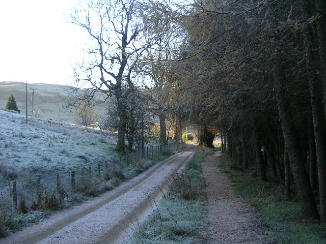
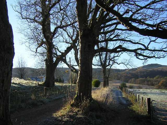
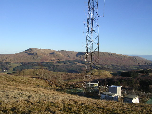
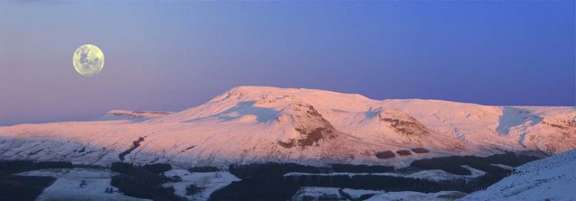
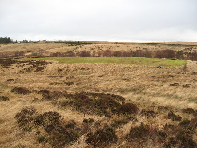
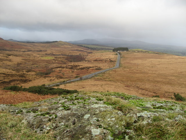
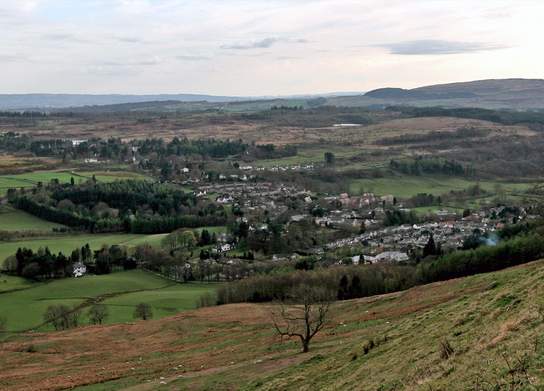
Covering an expansive area, this natural habitat is characterized by rolling hills and vast stretches of open land. The downs in Dumgoyach Brae are adorned with lush green grasses, wildflowers, and occasional clusters of low-lying shrubs. The undulating terrain adds to the charm of the area, offering panoramic views of the surrounding countryside.

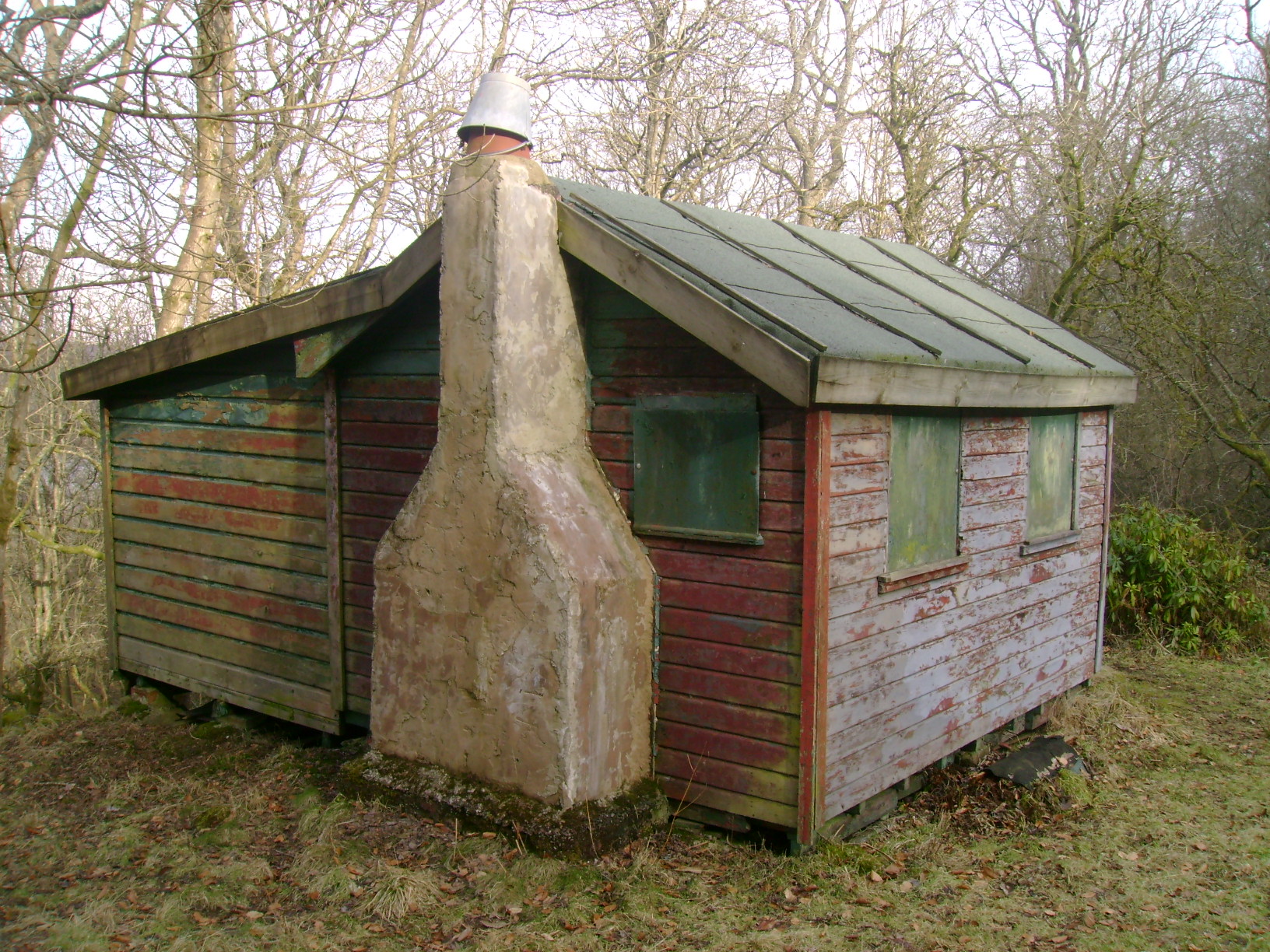
The moorland in Dumgoyach Brae is a unique feature of this region. It is covered in heather, which adds a beautiful purple hue to the landscape, particularly during the blooming season. The moorland is also home to various species of birds, including grouse and curlew, making it a haven for birdwatchers and nature enthusiasts.

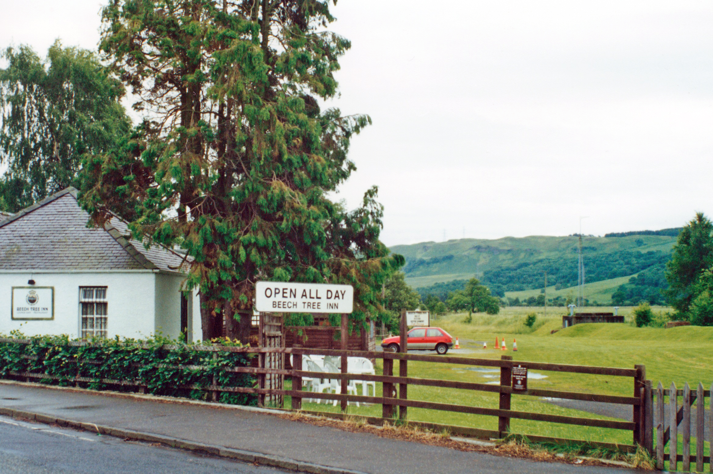
The area is easily accessible, with well-maintained footpaths that allow visitors to explore the downs and moorland. Hiking and walking trails provide an opportunity to fully immerse oneself in the natural beauty of Dumgoyach Brae.

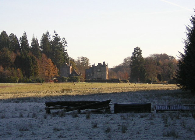
Moreover, Dumgoyach Brae is rich in history, with remnants of ancient settlements and landmarks scattered throughout the area. These historical sites add an extra layer of intrigue to the natural beauty of the region.

Overall, Dumgoyach Brae in Stirlingshire is a captivating destination for those seeking tranquility and a chance to connect with nature. Its downs and moorland provide a breathtaking backdrop for outdoor activities, wildlife observation, and a glimpse into the region's rich history.

If you have any feedback on the listing, please let us know in the comments section below.

Dumgoyach Brae Images

Images are sourced within 2km of 55.995504/-4.3722768 or Grid Reference NS5280. Thanks to Geograph Open Source API. All images are credited.

Glengoyne Distillery
View from Queens view Looking to Ben Lomond
View from Queens view
Looking to Ben Lomond
Arlehaven Located next to West Highland Way
Arlehaven
Located next to West Highland Way
West Highland Way Near Dumgoyach
Duntreath Castle, Strath Blane
Telecom mast, Auchineden Hill Campsie Fells in the background
Telecom mast, Auchineden Hill
Campsie Fells in the background
Summit of Quinlochmore Site of ancient fort, looking NW towards Loch Lomond and Ben Lomond
Summit of Quinlochmore
Site of ancient fort, looking NW towards Loch Lomond and Ben Lomond
West Highland Way Near Dumgoyach
Campsie fells from Auchineden Hill
Landing strip The carefully tended piece of moorland in the centre of the photo is maintained and used by fliers of model aircraft.
Landing strip
The carefully tended piece of moorland in the centre of the photo is maintained and used by fliers of model aircraft.
Drymen Road at Stockiemuir
West Highland Way looking South East Friday was a busy day for walkers, but managed to get a time gap in between.
West Highland Way looking South East
Friday was a busy day for walkers, but managed to get a time gap in between.
West Highland Way looking North West Very warm afternoon for the walkers. I'm sure they are "sprinting" as they know there is a pub just over a mile away.
West Highland Way looking North West
Very warm afternoon for the walkers. I'm sure they are "sprinting" as they know there is a pub just over a mile away.
Blane Water Bridge Looking from a N/W direction.
You can see [if you look closely] the damage on the left hand side.
Blane Water Bridge
Looking from a N/W direction. You can see [if you look closely] the damage on the left hand side.
Bridge Damage Did ye no look where ye were goin'
Bridge Damage
Did ye no look where ye were goin'
Towards Quinloch Taken from just south of Blane Water bridge.
Sheep to the left of me, cattle to the right!
Towards Quinloch
Taken from just south of Blane Water bridge. Sheep to the left of me, cattle to the right!
Quinloch Cattle Looking N/W from main track. Strip of pasture land rising up towards the woods beyond. Huffy coos didn't come any closer.
Quinloch Cattle
Looking N/W from main track. Strip of pasture land rising up towards the woods beyond. Huffy coos didn't come any closer.
Show me another place!

Dumgoyach Brae is located at Grid Ref: NS5280 (Lat: 55.995504, Lng: -4.3722768)

Unitary Authority: Stirling

Police Authority: Forth Valley

What 3 Words

///reverted.quaking.shall. Near Strathblane, Stirling

Nearby Locations

Dumgoyach Brae

Related Wikis

Nearby Amenities

Located within 500m of 55.995504,-4.3722768
Design: barrel
Power: tower
Lat/Long: 55.9974174/-4.3669451
Design: barrel
Power: tower
Lat/Long: 55.9935165/-4.3690194
Design: barrel
Power: tower
Lat/Long: 55.9948289/-4.3682728
Barrier: lift_gate
Lat/Long: 55.9929825/-4.3768018
Man Made: flagpole
Lat/Long: 55.9939251/-4.3745086
Leisure: firepit
Lat/Long: 55.9940286/-4.3738648
Leisure: firepit
Lat/Long: 55.9930487/-4.3765973
The data included in this document is from www.openstreetmap.org. The data is made available under ODbL.

Have you been to Dumgoyach Brae?

Leave your review of Dumgoyach Brae below (or comments, questions and feedback).