Bayherivagh
Settlement in Inverness-shire
Scotland
Bayherivagh

Bayherivagh is a small village located in the county of Inverness-shire, Scotland. Situated in the scenic Scottish Highlands, it is nestled within a picturesque valley surrounded by rolling hills and stunning natural landscapes.
With a population of around 400 residents, Bayherivagh has a close-knit community that prides itself on its rich history and strong cultural traditions. The village is home to a number of well-preserved historic buildings, including a charming 18th-century church and a traditional Highland cottage museum, providing visitors with a glimpse into the area's past.
The village offers a range of amenities for residents and visitors alike. There is a local convenience store, a post office, and a couple of cozy pubs that serve hearty Scottish cuisine and local ales. The surrounding area offers ample opportunities for outdoor activities, such as hiking, fishing, and birdwatching, with several walking trails and fishing spots easily accessible from the village.
Despite its tranquil setting, Bayherivagh is well-connected to other parts of Inverness-shire. The nearby town of Inverness, located approximately 20 miles away, provides access to a wider range of services, including shopping centers, schools, and healthcare facilities.
Overall, Bayherivagh offers a peaceful and idyllic retreat for those seeking to immerse themselves in the beauty of the Scottish Highlands while still enjoying the conveniences of modern life. Its stunning natural surroundings and rich cultural heritage make it a destination worth exploring for nature enthusiasts and history buffs alike.
If you have any feedback on the listing, please let us know in the comments section below.
Bayherivagh Images
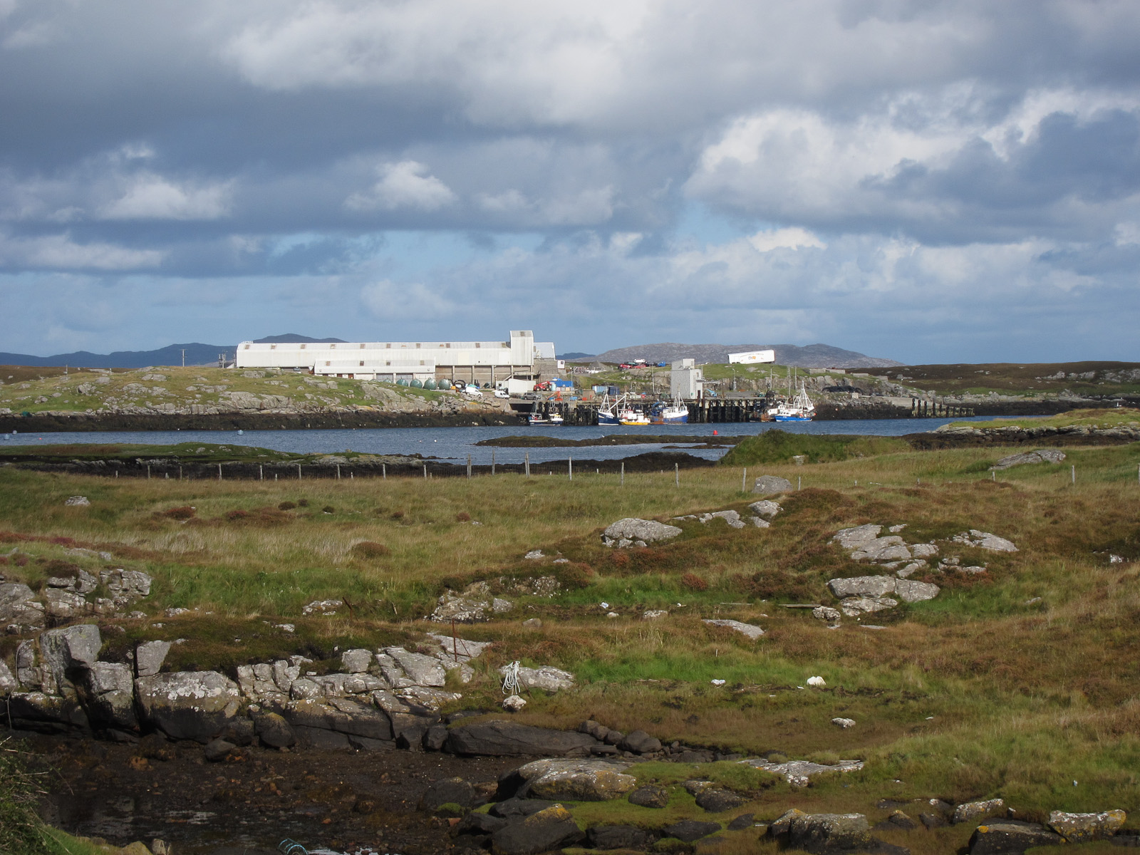
Images are sourced within 2km of 56.99085/-7.4357419 or Grid Reference NF7002. Thanks to Geograph Open Source API. All images are credited.


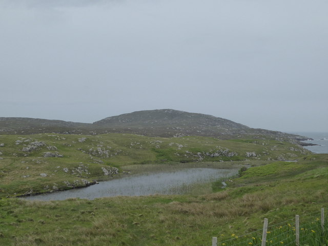


Bayherivagh is located at Grid Ref: NF7002 (Lat: 56.99085, Lng: -7.4357419)
Unitary Authority: Na h-Eileanan an Iar
Police Authority: Highlands and Islands
Also known as: Bagh Shiarabhagh
What 3 Words
///speeding.twitchy.revamping. Near CastleBay, Na h-Eileanan Siar
Nearby Locations
Related Wikis

Northbay
Northbay (Scottish Gaelic: Am Bàgh a Tuath) is a township and community in the north of Barra in the Outer Hebrides, off the west coast of Scotland. Northbay...

Bogach
Bogach (Scottish Gaelic: A' Bhogach) is a village on the island of Barra in the Outer Hebrides, Scotland. Bogach is also within the parish of Barra, and...
Ardveenish
Ardveenish (Scottish Gaelic: Àird Mhèanais) is a village on Barra in the Western Isles, Scotland. Ardveenish is also within the parish of Barra. ��2�...

Barra
Barra (; Scottish Gaelic: Barraigh [ˈparˠaj] or Eilean Bharraigh [ˈelan ˈvarˠaj] ; Scots: Barra) is an island in the Outer Hebrides, Scotland, and the...
Have you been to Bayherivagh?
Leave your review of Bayherivagh below (or comments, questions and feedback).