West Down

Downs, Moorland in Devon West Devon

England

West Down

The tunnel at Grenofen on Drake's Trail Part of the cycle path from Tavistock southwards along the former railway line
The tunnel at Grenofen on Drake's Trail Credit: David Smith

West Down is a small village located in North Devon, England. Situated on the edge of Exmoor National Park, West Down is surrounded by rolling hills, lush green valleys, and stunning moorland. The village itself is picturesque, with traditional stone cottages, a quaint parish church, and a welcoming community atmosphere.

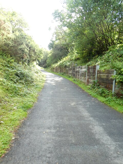
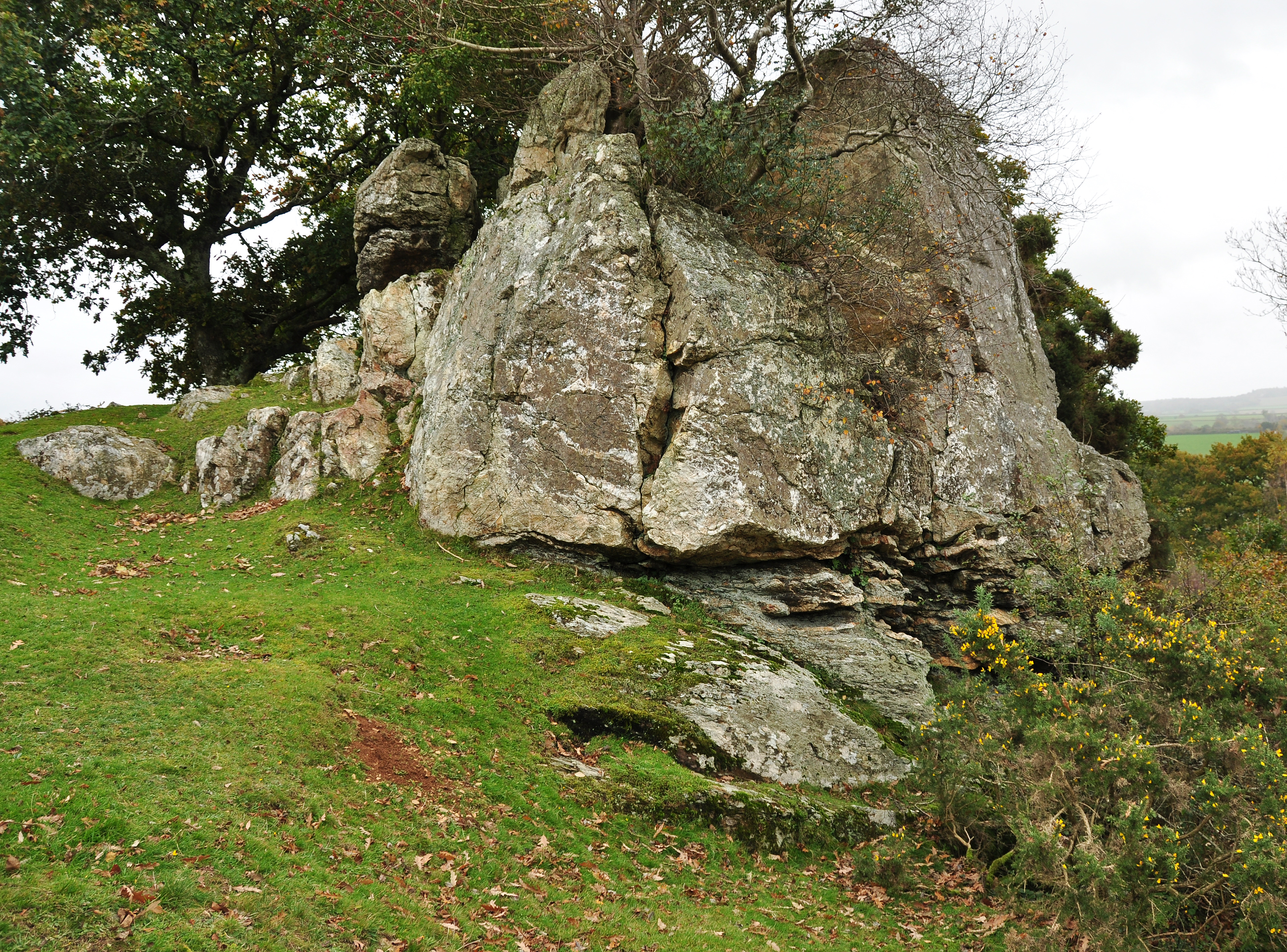
The landscape around West Down is characterized by its rugged beauty, with heather-clad moors, ancient woodlands, and meandering streams. The area is popular with hikers, cyclists, and nature enthusiasts, who come to explore the numerous walking trails and enjoy the stunning views across the countryside.

West Down is a peaceful and tranquil place to visit, offering visitors the chance to escape the hustle and bustle of everyday life and immerse themselves in the natural beauty of the Devon countryside. The village is also well located for exploring other nearby attractions, such as the sandy beaches of the North Devon coast, the historic towns of Barnstaple and Ilfracombe, and the wild expanses of Exmoor National Park.

If you have any feedback on the listing, please let us know in the comments section below.

West Down Images

Images are sourced within 2km of 50.514728/-4.1437897 or Grid Reference SX4870. Thanks to Geograph Open Source API. All images are credited.

The tunnel at Grenofen on Drake's Trail Part of the cycle path from Tavistock southwards along the former railway line
The tunnel at Grenofen on Drake's Trail
Part of the cycle path from Tavistock southwards along the former railway line
Southern exit from the tunnel at Grenofen on Drake's Trail
Approaching Gem Bridge from the north
Cutting for Drake's Trail south of Gem Bridge Immediately to the south of Gem Bridge over the river, the former railway passed through a cutting; some work has been done to reinforce the bank
Cutting for Drake's Trail south of Gem Bridge
Immediately to the south of Gem Bridge over the river, the former railway passed through a cutting; some work has been done to reinforce the bank
Bridge over Drake's Trail south of Gem Bridge
Foundation blocks from original Gem Bridge These blocks were part of the foundations of the railway bridge across the valley, now crossed by the cycle route on a new bridge.  They have been placed by the path as a monument and as seating for picnics
Foundation blocks from original Gem Bridge
These blocks were part of the foundations of the railway bridge across the valley, now crossed by the cycle route on a new bridge. They have been placed by the path as a monument and as seating for picnics
Old Bridge Marker near Grenofen Bridge, Whitchurch 90 metres north of Grenofen Bridge, River Walkham, on the east side of the road. Whitchurch parish. The stone marks the extent of roadway adjoining the bridge that the County was obliged to maintain. See also <span class="nowrap"><a title="https://www.flickr.com/photos/bridgemarkertim/8057863218" rel="nofollow ugc noopener" href="https://www.flickr.com/photos/bridgemarkertim/8057863218">Link</a><img style="margin-left:2px;" alt="External link" title="External link - shift click to open in new window" src="https://s1.geograph.org.uk/img/external.png" width="10" height="10"/></span>.

Milestone Society National ID: DV_WHIT01br
Old Bridge Marker near Grenofen Bridge, Whitchurch
90 metres north of Grenofen Bridge, River Walkham, on the east side of the road. Whitchurch parish. The stone marks the extent of roadway adjoining the bridge that the County was obliged to maintain. See also LinkExternal link. Milestone Society National ID: DV_WHIT01br
Whitchurch: leat in Walkham valley The dry channel of an old mining leat which may date from the 18th century, as a 19th century elvan quarry straddles its course upstream
Whitchurch: leat in Walkham valley
The dry channel of an old mining leat which may date from the 18th century, as a 19th century elvan quarry straddles its course upstream
Grenofen Bridge The River Walkham at Grenofen Bridge
Grenofen Bridge
The River Walkham at Grenofen Bridge
The Tavy Valley This photograph was taken from the south west corner of this grid square and looks out north-eastward over the Tavy Valley.  The hills of Dartmoor can be seen in the distance.
The Tavy Valley
This photograph was taken from the south west corner of this grid square and looks out north-eastward over the Tavy Valley. The hills of Dartmoor can be seen in the distance.
The River Tavy Near Particliffe Wood
The River Tavy
Near Particliffe Wood
Site of former Grenofen railway viaduct The Plympton-Tavistock railway viaduct over the Walkham river at Grenofen was unfortunately demolished by explosives as a training exercise some time ago. Vandals! The trackbed stops at the ledge showing at the foot of the picture.  The far side was just right of the middle distance in the picture. The camera is facing towards Tavistock.
Site of former Grenofen railway viaduct
The Plympton-Tavistock railway viaduct over the Walkham river at Grenofen was unfortunately demolished by explosives as a training exercise some time ago. Vandals! The trackbed stops at the ledge showing at the foot of the picture. The far side was just right of the middle distance in the picture. The camera is facing towards Tavistock.
River Walkham, Lower Grenofen Looking downriver in a wooded valley with granite boulders and rocks covered with moss and lichen.  Position is about 300m downstream of the Grenofen bridge car park at the north west corner of the grid square.
River Walkham, Lower Grenofen
Looking downriver in a wooded valley with granite boulders and rocks covered with moss and lichen. Position is about 300m downstream of the Grenofen bridge car park at the north west corner of the grid square.
Disused buildings, Westdown copper Mine 
These mine buildings are sited 500m downstream from Grenofen bridge car park,  on level ground 75m from the river Walkham north bank. Photograph taken in July 1978.
Disused buildings, Westdown copper Mine
These mine buildings are sited 500m downstream from Grenofen bridge car park, on level ground 75m from the river Walkham north bank. Photograph taken in July 1978.
Railway bridge, above the river Walkham View looking north west to a bridge carrying a path/track above the former Plympton to Tavistock railway. The site is around 1km west of the car park at Bedford Bridge on the A386.
Railway bridge, above the river Walkham
View looking north west to a bridge carrying a path/track above the former Plympton to Tavistock railway. The site is around 1km west of the car park at Bedford Bridge on the A386.
Buckland Monachorum: weir on the river Walkham The weir served the Lady Bertha Mine at SX471689, a mile or more away. The leat on the left, now a dry ditch, powered water wheels on the mine, used for crushing ores and initially for pumping water. The mine raised nearly 4,400 tons of copper ore and almost 1,700 tons of arsenic in the period 1855–1882. Note the remains of a fish pass here
Buckland Monachorum: weir on the river Walkham
The weir served the Lady Bertha Mine at SX471689, a mile or more away. The leat on the left, now a dry ditch, powered water wheels on the mine, used for crushing ores and initially for pumping water. The mine raised nearly 4,400 tons of copper ore and almost 1,700 tons of arsenic in the period 1855–1882. Note the remains of a fish pass here
The road through Grenofen The Dartmoor National Park sign is attached to a large block of granite.  It is displayed on this minor road as it crosses the park boundary.
The road through Grenofen
The Dartmoor National Park sign is attached to a large block of granite. It is displayed on this minor road as it crosses the park boundary.
Mobile Phone Mast The large transmission tower dominates this agricultural hilltop.
Mobile Phone Mast
The large transmission tower dominates this agricultural hilltop.
Show me another place!

West Down is located at Grid Ref: SX4870 (Lat: 50.514728, Lng: -4.1437897)

Administrative County: Devon

District: West Devon

Police Authority: Devon and Cornwall

What 3 Words

///minus.postings.polo. Near Horrabridge, Devon

Related Wikis

Berra Tor

Berra Tor (grid reference SX553679) is a granite tor on the south western edge of Dartmoor. It is only 132 metres above sea level so is one of the lowest...

Grenofen

Grenofen is a hamlet in Devon. It is located about 2 miles south of Tavistock on the A386 at the southwestern edge of Dartmoor National Park. Grenofen...

River Lumburn

The Lumburn is a river on Dartmoor, Devon, England. It is a tributary of the River Tavy. == Bibliography == The Painted Stream, Robin Armstrong, Dent,...

Buckland Monachorum

Buckland Monachorum is a village and civil parish in the West Devon district of Devon, England, situated on the River Tavy, about 10 miles north of Plymouth...

Nearby Amenities

Located within 500m of 50.514728,-4.1437897
Parking
Capacity: 10
Lat/Long: 50.5177182/-4.1458855
Parking
Capacity: 2
Lat/Long: 50.518165/-4.1408161
Power: pole
Lat/Long: 50.5131605/-4.1409445
Power: pole
Lat/Long: 50.513638/-4.1411912
Power: pole
Lat/Long: 50.5143203/-4.1415829
Power: pole
Lat/Long: 50.5155176/-4.1421998
Power: pole
Lat/Long: 50.5164965/-4.1426906
The data included in this document is from www.openstreetmap.org. The data is made available under ODbL.

Have you been to West Down?

Leave your review of West Down below (or comments, questions and feedback).