Doire nan Dearcag
Downs, Moorland in Inverness-shire
Scotland
Doire nan Dearcag
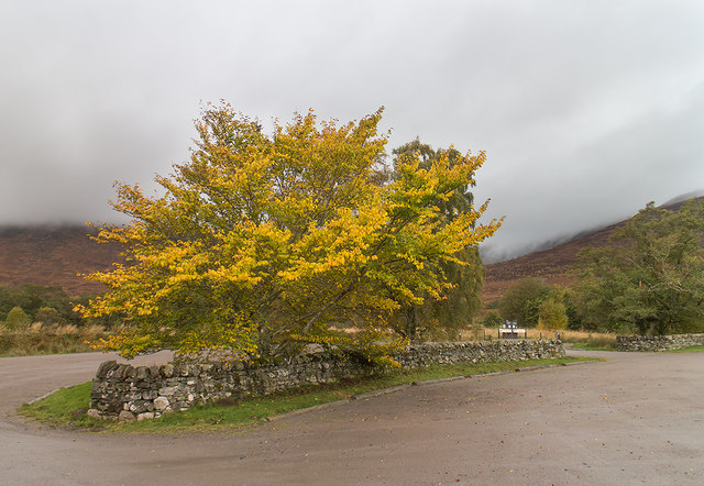
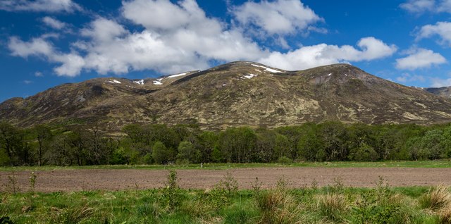
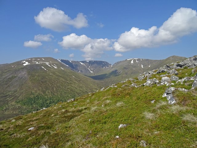
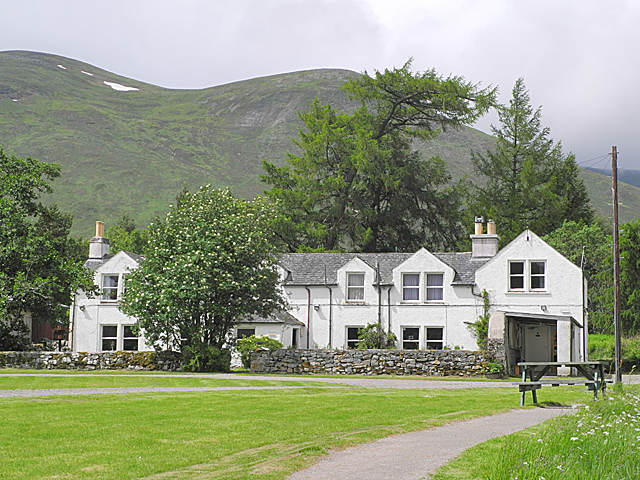
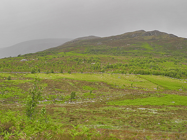
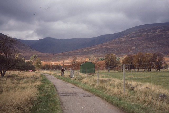
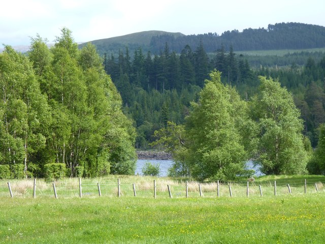
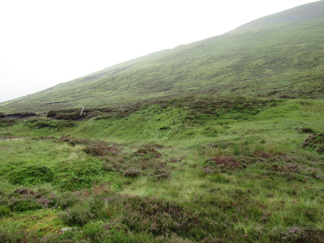
Doire nan Dearcag, located in Inverness-shire, Scotland, is a captivating area of downs and moorland. Spread across a vast expanse, this region is renowned for its stunning natural beauty and diverse ecosystem. With its rolling hills and wide open spaces, Doire nan Dearcag offers a serene and peaceful environment for visitors to immerse themselves in nature.
The downs of Doire nan Dearcag are characterized by their gentle slopes and lush greenery. These expansive grasslands provide ample grazing opportunities for various herbivorous animals, including sheep and deer. The downs are also dotted with clusters of vibrant wildflowers, adding a splash of color to the landscape during the warmer months.
In contrast, the moorland areas of Doire nan Dearcag are characterized by their unique heather-covered terrain. The blooming purple heather creates a picturesque sight, especially during late summer and early autumn. The moorland is home to a myriad of bird species, making it a paradise for birdwatching enthusiasts. Visitors may catch a glimpse of species such as red grouse, golden eagles, and peregrine falcons soaring through the clear skies.
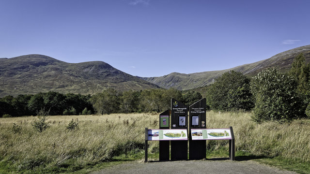
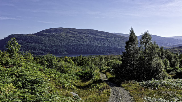
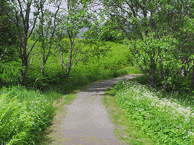
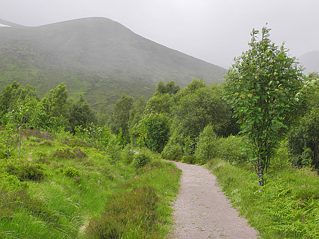
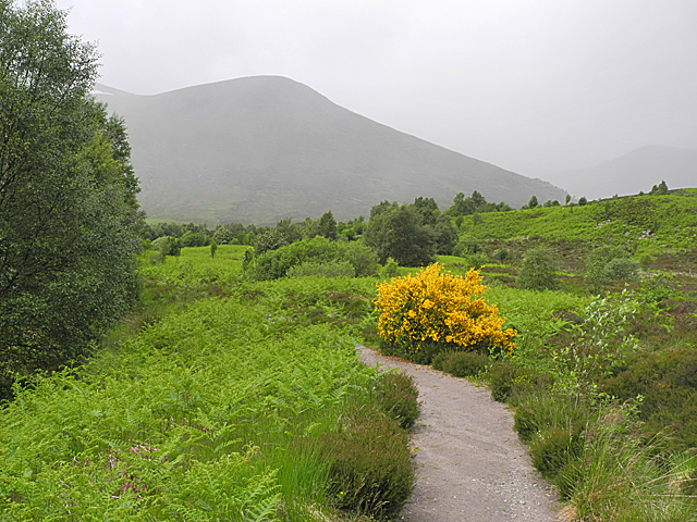
Additionally, Doire nan Dearcag is intersected by several walking trails, allowing visitors to explore and appreciate its natural wonders at their own pace. These paths offer breathtaking views of the surrounding countryside, with occasional glimpses of distant lochs and rivers.
In conclusion, Doire nan Dearcag, with its downs and moorland, presents a captivating landscape that showcases the natural splendor of Inverness-shire. Whether it's the rolling downs or the vibrant moorland, this region offers a remarkable destination for nature lovers and those seeking tranquility amidst the Scottish countryside.
If you have any feedback on the listing, please let us know in the comments section below.
Doire nan Dearcag Images
Images are sourced within 2km of 56.956241/-4.5169417 or Grid Reference NN4787. Thanks to Geograph Open Source API. All images are credited.


Doire nan Dearcag is located at Grid Ref: NN4787 (Lat: 56.956241, Lng: -4.5169417)
Unitary Authority: Highland
Police Authority: Highlands and Islands
What 3 Words
///hillsides.atoms.defrost. Near Newtonmore, Highland
Nearby Locations
Related Wikis

Loch Laggan
Loch Laggan is a freshwater loch situated approximately 6+1⁄2 mi (10.5 km) west of Dalwhinnie in the Scottish Highlands. The loch has an irregular shape...

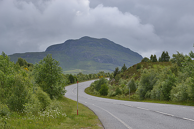
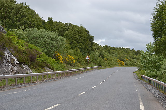
A86 road
The A86 is a major road in Scotland. It runs from the Great Glen at Spean Bridge to Kingussie and the Cairngorms National Park via Loch Laggan. It is a...
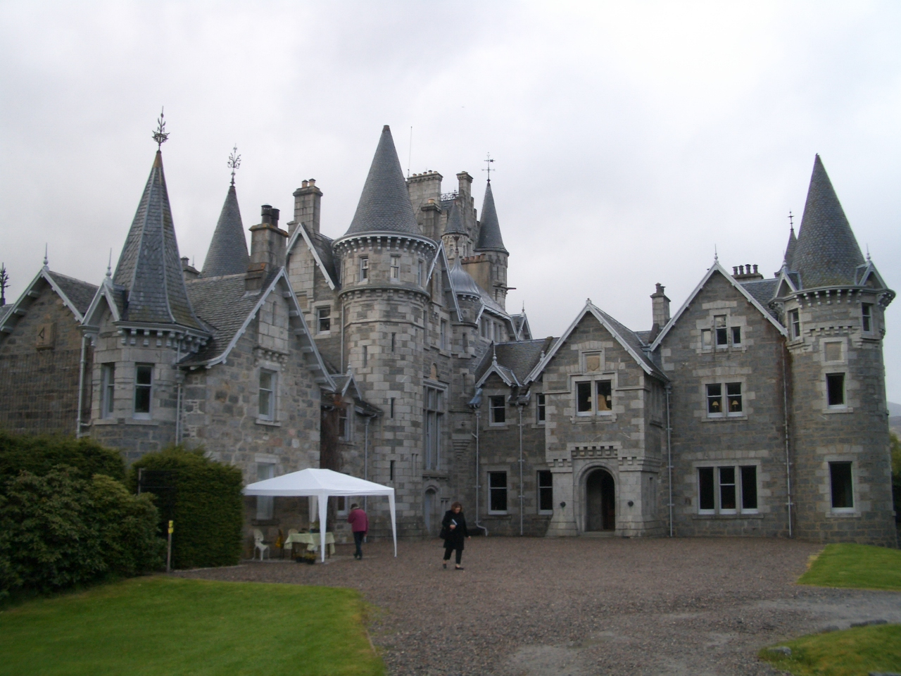
Ardverikie House
Ardverikie House is a 19th-century Scottish baronial house in Kinloch Laggan, Newtonmore, Inverness-shire, Scottish Highlands. The house was made famous...

Lochan na h-Earba
The single name Lochan na h-Earba is applied to two lochs to the south of Loch Laggan in Highland, Scotland, close to the historic boundary between Lochaber...

Binnein Shuas
Binnein Shuas (747 m) is a mountain in the Grampian Mountains of Scotland. It lies between Loch Laggan and Lochan na h-Earba in Inverness-shire. A steep...

Creag Meagaidh
Creag Meagaidh (Scottish Gaelic: Creag Mèagaidh) is a mountain on the northern side of Glen Spean in the Highlands of Scotland. It is a complex mountain...

East Highland Way
The East Highland Way (Scottish Gaelic: Slighe Gaidhealtachd an Ear) is a long-distance walking route in Scotland that connects Fort William (56.8178°N...

Kinloch Laggan
Kinloch Laggan (Scottish Gaelic: Ceann Loch Lagain) is a hamlet located at the head of Loch Laggan in Newtonmore, Inverness-shire, Scottish Highlands...
Nearby Amenities
Located within 500m of 56.956241,-4.5169417Have you been to Doire nan Dearcag?
Leave your review of Doire nan Dearcag below (or comments, questions and feedback).