Allt y Graig

Downs, Moorland in Cardiganshire

Wales

Allt y Graig

Valley north of Talgarreg
Valley north of Talgarreg Credit: M J Roscoe

Allt y Graig is a picturesque area located in Cardiganshire, Wales. Known for its stunning landscape, it is characterized by its rolling downs and expansive moorland. The area is rich in natural beauty, with breathtaking views that stretch for miles.

The downs of Allt y Graig are gently sloping grassy hills, offering visitors a tranquil and peaceful experience. The lush greenery is dotted with vibrant wildflowers during the summer months, creating a colorful tapestry that delights the senses. The downs are also home to a variety of wildlife, including birds, rabbits, and occasional grazing sheep.

The moorland in Allt y Graig is a rugged and untamed terrain, covered in heather and gorse. This wild and untouched landscape is a haven for nature enthusiasts and hikers looking for a challenging adventure. The moorland is intersected by winding paths and trails, allowing visitors to explore and discover hidden gems along the way.

Allt y Graig offers a sense of serenity and escape from the hustle and bustle of everyday life. The area is perfect for outdoor activities such as hiking, birdwatching, and picnicking. Visitors can immerse themselves in the beauty of nature, breathing in the fresh air and taking in the awe-inspiring vistas.

With its stunning downs and expansive moorland, Allt y Graig in Cardiganshire is truly a nature lover's paradise. Whether you are seeking solitude, adventure, or simply a place to reconnect with the natural world, this picturesque area has it all.

If you have any feedback on the listing, please let us know in the comments section below.
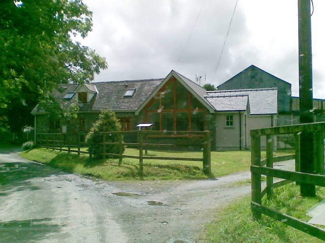
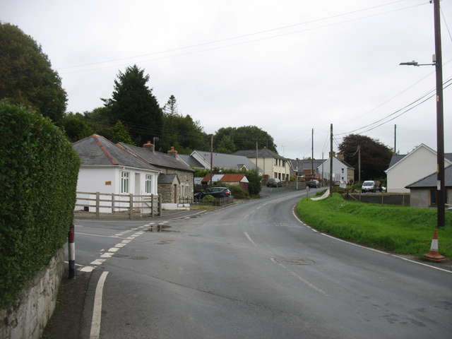
Allt y Graig Images

Images are sourced within 2km of 52.139664/-4.3044903 or Grid Reference SN4251. Thanks to Geograph Open Source API. All images are credited.

Valley north of Talgarreg
B4338 north of Rhydyrhaiarn
Glan-yr-Afon Arms, Talgarreg
B4338 east of Pantrhiwddulais As the road climbs towards 800 feet AMSL it begins to encounter hill-fog from and approaching frontal system.
B4338 east of Pantrhiwddulais
As the road climbs towards 800 feet AMSL it begins to encounter hill-fog from and approaching frontal system.
B4338 reaches its summit level As befits a road reaching more than 900 feet AMSL this useful 'B' road is now into the base of the low stratus associated with a warm sector depression. This is hill fog, seen as an un-named minor road crosses near Pant-y-grugos. Looking closely the viewer can also make out red-mist; sprayed onto the signposts!
B4338 reaches its summit level
As befits a road reaching more than 900 feet AMSL this useful 'B' road is now into the base of the low stratus associated with a warm sector depression. This is hill fog, seen as an un-named minor road crosses near Pant-y-grugos. Looking closely the viewer can also make out red-mist; sprayed onto the signposts!
The Old Mill
The Old Mill
Ordnance Survey Cut Mark This OS cut mark can be found on the front of the Glanrafon Arms. It marks a point 194.894m above mean sea level.
Ordnance Survey Cut Mark
This OS cut mark can be found on the front of the Glanrafon Arms. It marks a point 194.894m above mean sea level.
The B4459 in Talgarreg
Llwybr ceffyl Gellihen / Gellihen bridleway Llwybr ceffyl yn mynd i gyfeiriad Ffarm Gellihen.

A bridleway heading in the direction of Gellihen Farm (trans. old grove).
Llwybr ceffyl Gellihen / Gellihen bridleway
Llwybr ceffyl yn mynd i gyfeiriad Ffarm Gellihen. A bridleway heading in the direction of Gellihen Farm (trans. old grove).
Llwybr ceffyl Gellihen / Gellihen bridleway Llwybr ceffyl yn croesi yr ifanc Afon Clettwr Fach wrth agosau at Ffarm Gellihen.

A bridleway crossing the infant Afon Clettwr Fach as it approaches Gellihen Farm (trans. old grove).
Llwybr ceffyl Gellihen / Gellihen bridleway
Llwybr ceffyl yn croesi yr ifanc Afon Clettwr Fach wrth agosau at Ffarm Gellihen. A bridleway crossing the infant Afon Clettwr Fach as it approaches Gellihen Farm (trans. old grove).
Heol fynediad Gellihen / Gellihen access road Coed wrth ochr heol fynediad Gellihen.

Trees flanking Gellihen (trans.old grove) access road.
Heol fynediad Gellihen / Gellihen access road
Coed wrth ochr heol fynediad Gellihen. Trees flanking Gellihen (trans.old grove) access road.
Capel Pisgah, Talgarreg
Crossroads south of Synod Inn Crossroads on the A4338 to the south of Synod Inn.
Crossroads south of Synod Inn
Crossroads on the A4338 to the south of Synod Inn.
Farmland near Synod Inn Farmland to the south of Synod Inn.
Farmland near Synod Inn
Farmland to the south of Synod Inn.
A field at Telgarreg A field beside the B4338 to the north-west of Talgarreg.
A field at Telgarreg
A field beside the B4338 to the north-west of Talgarreg.
Track from Pledrog farm
Gate  at Pledrog farm
Gate at Pledrog farm
Glan-yr-Afon Arms Glan-yr-Afon Arms on the B4459 in Talgarreg.
Glan-yr-Afon Arms
Glan-yr-Afon Arms on the B4459 in Talgarreg.
Show me another place!

Allt y Graig is located at Grid Ref: SN4251 (Lat: 52.139664, Lng: -4.3044903)

Unitary Authority: Ceredigion

Police Authority: Dyfed Powys

What 3 Words

///outwards.recruited.combining. Near Llanarth, Ceredigion

Nearby Locations

Allt y Graig Talgarreg

Related Wikis

Talgarreg

Talgarreg is a small village in the county of Ceredigion, Wales. == Culture, history & amenities == Economically it is sustained by farming, though there...

Crugyreryr

Crugyreryr is a hamlet in the community of Llandysiliogogo, Ceredigion, Wales, which is 65.9 miles (106 km) from Cardiff and 183.5 miles (295.3 km) from...

Dolgerdd

Dolgerdd is a hamlet in the community of Llandysiliogogo, Ceredigion, Wales, which is 65.6 miles (105.5 km) from Cardiff and 183.2 miles (294.8 km) from...

Rhos Llawr Cwrt National Nature Reserve

Rhos Llawr Cwrt National Nature Reserve nestles in the base of the Clettwr valley, some 10 kilometres from the Ceredigion coast, between Ffostrasol and...

Nearby Amenities

Located within 500m of 52.139664,-4.3044903
Talgarreg
Is In: Ceredigion, Wales, UK
Place: hamlet
Source: npe
Wikidata: Q7679437
Wikipedia: en:Talgarreg
Lat/Long: 52.1362475/-4.3016493
Pub
Glanyrafon Arms
Addr Postcode: SA44 4ER
Fhrs Id: 863466
Source Addr Postcode: FHRS Open Data
Wikidata: Q80582296
Lat/Long: 52.1361959/-4.302089
Place: farm
Lat/Long: 52.1381633/-4.3102178
Place: farm
Lat/Long: 52.1386506/-4.3029222
Place: farm
Lat/Long: 52.1396646/-4.297708
Telephone
Booth: K6
Covered: booth
Operator: BT
Phone: +44 1545 590671
Lat/Long: 52.1361145/-4.3018618
Power: pole
Lat/Long: 52.1357414/-4.3028422
The data included in this document is from www.openstreetmap.org. The data is made available under ODbL.

Have you been to Allt y Graig?

Leave your review of Allt y Graig below (or comments, questions and feedback).