Allt Ebolion
Downs, Moorland in Anglesey
Wales
Allt Ebolion

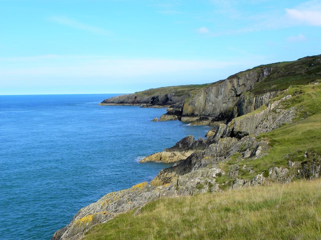
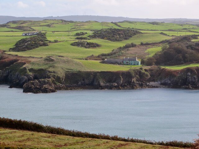
Allt Ebolion is a prominent natural feature located on the Isle of Anglesey, Wales. Situated within the region's stunning countryside, this area is known for its picturesque downs and moorland landscapes. Allt Ebolion stands as a significant landmark within this breathtaking setting.
Rising to an elevation of approximately 180 meters (590 feet), Allt Ebolion offers visitors breathtaking panoramic views of the surrounding countryside and nearby coastlines. The downs and moorland that encompass this area provide a diverse range of flora and fauna, making it a haven for nature enthusiasts.
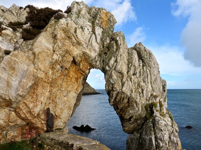
The terrain of Allt Ebolion is characterized by rolling hills, heather-covered moorland, and scattered rocky outcrops. The area is home to a variety of plant species, including heather, gorse, and wildflowers, which create a vibrant tapestry of colors throughout the seasons. Wildlife such as rabbits, foxes, and a variety of bird species can also be spotted.
The footpaths and trails that wind their way through Allt Ebolion make it an ideal destination for hikers, walkers, and cyclists. These paths offer a chance to explore the area's natural beauty up close, with opportunities to stop and admire the stunning views along the way.
Allt Ebolion provides a tranquil escape from the hustle and bustle of daily life, allowing visitors to immerse themselves in the peacefulness of nature. Whether it's a leisurely stroll, a challenging hike, or simply a moment of serenity, Allt Ebolion offers a memorable experience for all who venture to this remarkable location on Anglesey.
If you have any feedback on the listing, please let us know in the comments section below.
Allt Ebolion Images
Images are sourced within 2km of 53.424289/-4.384612 or Grid Reference SH4194. Thanks to Geograph Open Source API. All images are credited.


Allt Ebolion is located at Grid Ref: SH4194 (Lat: 53.424289, Lng: -4.384612)
Unitary Authority: Isle of Anglesey
Police Authority: North Wales
What 3 Words
///supreme.remarried.riverbank. Near Amlwch, Isle of Anglesey
Nearby Locations
Related Wikis

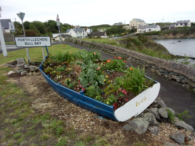
Burwen
Burwen is a village in Anglesey, Wales, in the community of Amlwch. Located on the A5025, it is 1 kilometre southwest of the larger village of Bull Bay...

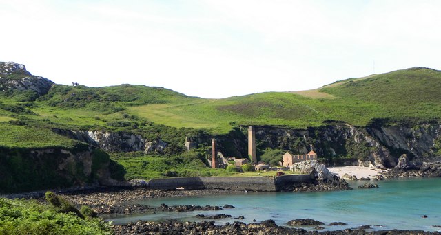
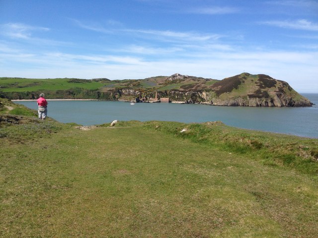
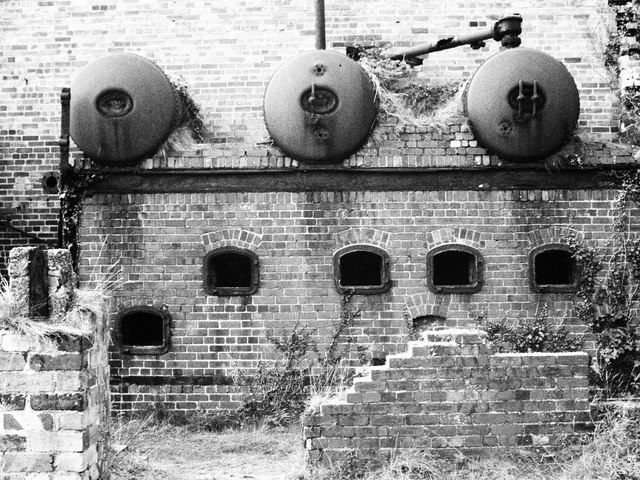
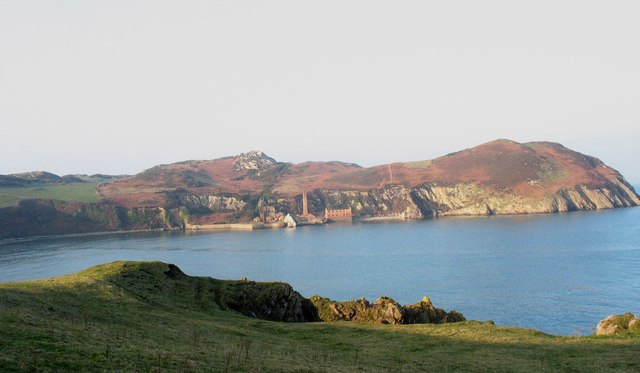
Porth Wen Brickworks
Porth Wen Brickworks first built by Charles E Tidy, is now a disused Victorian brickworks which produced fire bricks, made from quartzite (silica) used...
Torllwyn
Torllwyn is a headland in Angelsey, Wales, approximately 2.5 kilometres (1.6 mi) ENE of Porthllechog. == See also == Media related to Torllwyn at Wikimedia...

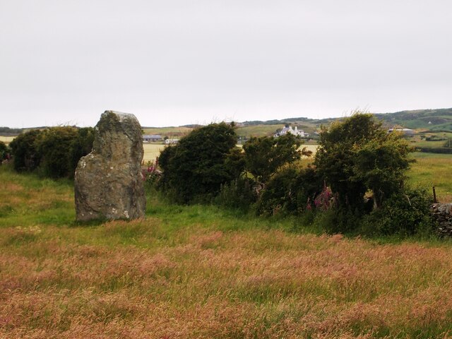
Werthyr standing stone
The Werthyr standing stone is a standing stone located to the west of Amlwch, Anglesey, Wales. It is around 3.1 metres (10 ft) tall. == History == The...
Nearby Amenities
Located within 500m of 53.424289,-4.384612Have you been to Allt Ebolion?
Leave your review of Allt Ebolion below (or comments, questions and feedback).