Barr Moor
Downs, Moorland in Wigtownshire
Scotland
Barr Moor
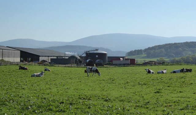
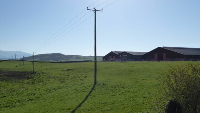
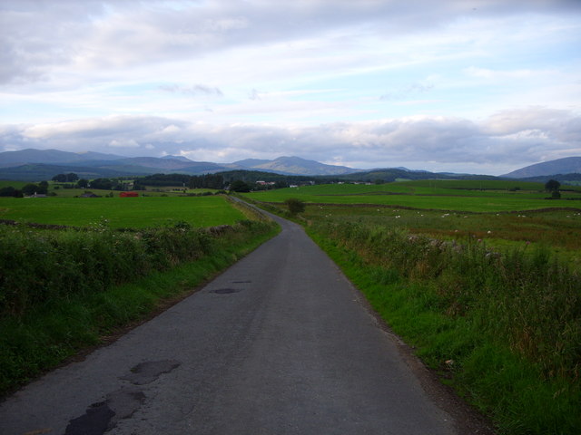
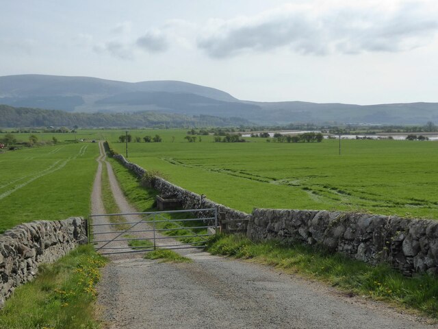
Barr Moor, located in Wigtownshire, Scotland, is a vast expanse of downs and moorland that stretches over an area of approximately 2,500 hectares. It is situated between the towns of Newton Stewart and Stranraer, encompassing a diverse and captivating landscape.
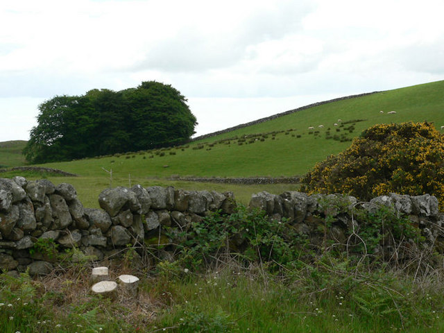
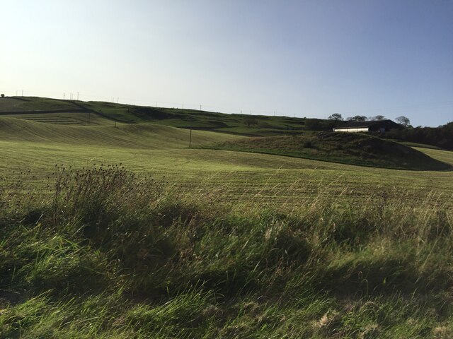
The moorland of Barr Moor is characterized by its undulating terrain, with rolling hills covered in heather, grasses, and scattered shrubbery. It is an area of exceptional natural beauty, offering breathtaking views of the surrounding countryside. The moorland is crisscrossed by a network of walking trails, allowing visitors to explore its vastness and immerse themselves in its tranquility.
The downs of Barr Moor are home to a rich variety of flora and fauna. The heather-covered hills provide a habitat for a range of bird species, including curlews, golden plovers, and red grouse. The moorland also supports a diverse population of small mammals, such as rabbits and voles, which can be observed darting in and out of their burrows.
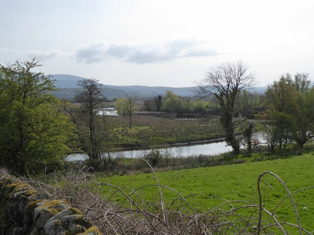
Barr Moor is an important site for conservation, as it hosts several protected species and habitats. The area is designated as a Special Protection Area (SPA) due to its importance for birdlife, particularly the hen harrier. Additionally, the moorland contains several peat bogs, which are vital in terms of carbon storage and water regulation.
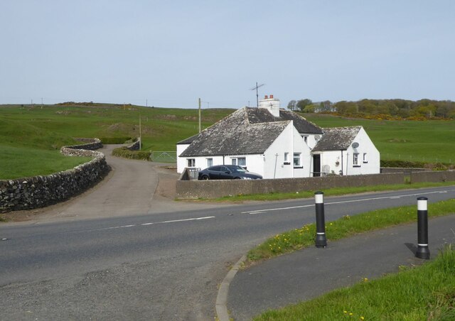
Visitors to Barr Moor can enjoy a range of outdoor activities, including hiking, birdwatching, and picnicking. The moorland offers a peaceful retreat from the hustle and bustle of everyday life, providing an opportunity to reconnect with nature and appreciate the unique beauty of this Scottish landscape.
If you have any feedback on the listing, please let us know in the comments section below.
Barr Moor Images
Images are sourced within 2km of 54.934169/-4.4819291 or Grid Reference NX4162. Thanks to Geograph Open Source API. All images are credited.


Barr Moor is located at Grid Ref: NX4162 (Lat: 54.934169, Lng: -4.4819291)
Unitary Authority: Dumfries and Galloway
Police Authority: Dumfries and Galloway
What 3 Words
///nuptials.legroom.explains. Near Newton Stewart, Dumfries & Galloway
Nearby Locations
Related Wikis

Mains of Penninghame Platform railway station
Mains of Penninghame Platform railway station (NX410617) was a halt on the Wigtownshire Railway branch line, from Newton Stewart to Whithorn, of the Portpatrick...

Newton Stewart Hospital
Newton Stewart Hospital is a health facility in Newton Stewart, Dumfries and Galloway, Scotland. It is managed by NHS Dumfries and Galloway. == History... ==

Newton Stewart railway station
Newton Stewart railway station served the town of Newton Stewart, Dumfries and Galloway, Scotland from 1861 to 1965 on the Portpatrick and Wigtownshire...

McMillan Hall, Newton Stewart
The McMillan Hall is a municipal building in Dashwood Square in Newton Stewart, Dumfries and Galloway, Scotland. The structure, which is used as a community...

Penninghame
Penninghame in Wigtownshire, Dumfries and Galloway, Scotland, is a civil parish area, 8 miles (N. W.) from Wigtown. The area is approx 16 miles in length...

Newton Stewart F.C.
Newton Stewart Football Club are a football club from the town of Newton Stewart in the Dumfries and Galloway area of Scotland. Formed in 1880, as Newton...

Newton Stewart
Newton Stewart (Gd: Baile Ùr nan Stiùbhartach) is a former burgh town in the historical county of Wigtownshire in Dumfries and Galloway, southwest Scotland...
Douglas Ewart High School
Douglas Ewart High School was opened in 1922 in Newton Stewart, Scotland. It was formed by the amalgamation of the Douglas Free School opened in 1834...
Nearby Amenities
Located within 500m of 54.934169,-4.4819291Have you been to Barr Moor?
Leave your review of Barr Moor below (or comments, questions and feedback).