Allt Fron-felen

Downs, Moorland in Cardiganshire

Wales

Allt Fron-felen

The Gwarcefel Arms Five roads meet beside this pub: A475, B4476 and two un-named local lanes. Should be good for the passing trade!
The Gwarcefel Arms Credit: Stuart Logan

The requested URL returned error: 429 Too Many Requests

If you have any feedback on the listing, please let us know in the comments section below.

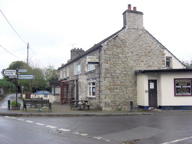
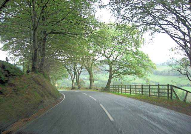
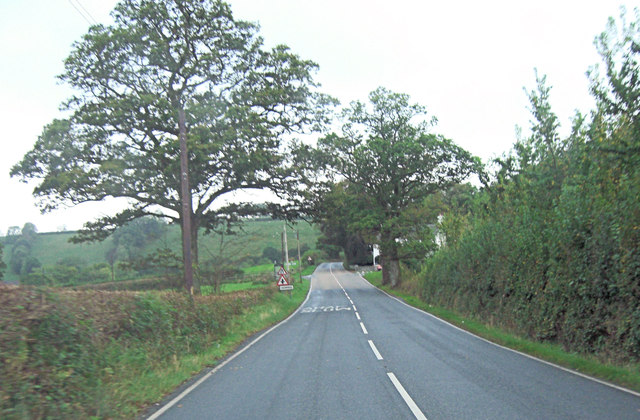
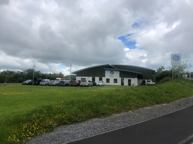
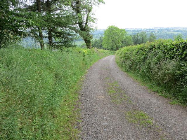
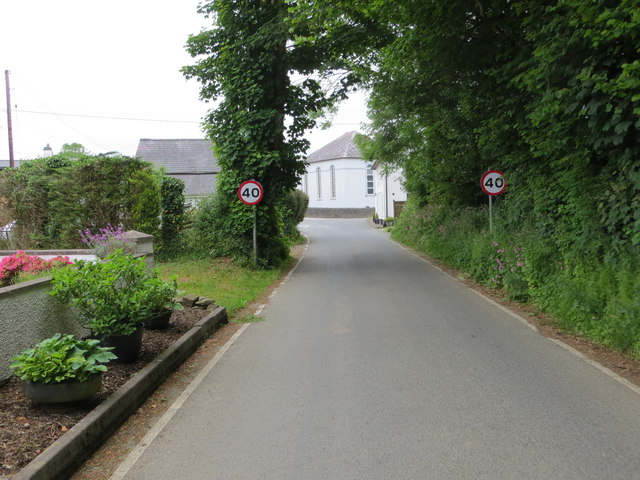
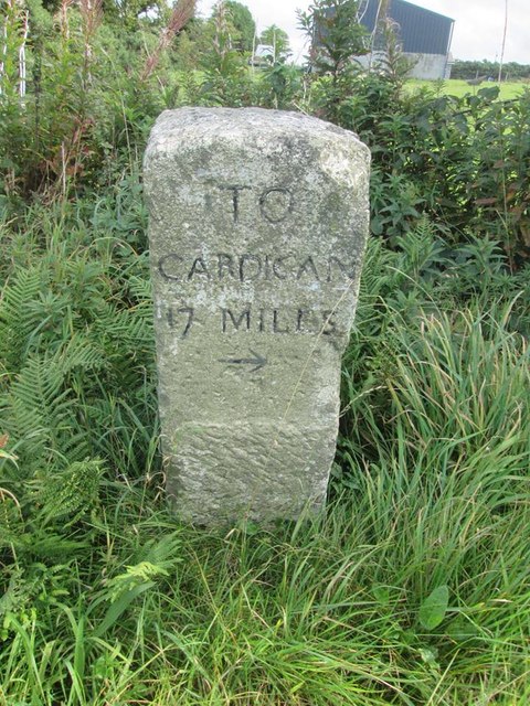
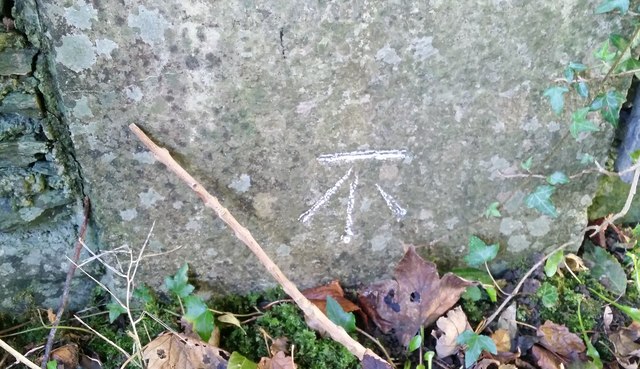
Allt Fron-felen Images

Images are sourced within 2km of 52.069452/-4.3245832 or Grid Reference SN4043. Thanks to Geograph Open Source API. All images are credited.

The Gwarcefel Arms Five roads meet beside this pub: A475, B4476 and two un-named local lanes. Should be good for the passing trade!
The Gwarcefel Arms
Five roads meet beside this pub: A475, B4476 and two un-named local lanes. Should be good for the passing trade!
A475 north of Pant-gwyn
A475 crossroads at Gorrig
Gwasg Gomer Welsh book publishers based at the Groesffordd Business Park, near Llandysul. Established at the turn of the 20th century, it was the foremost publisher of Welsh books. However, in 2019 they decided to stop their publishing arm and concentrate on printing. Their back catalogue of Welsh books were bought by the Lolfa and Atebol, the former taking adult books and Atebol taking children's books.
Gwasg Gomer
Welsh book publishers based at the Groesffordd Business Park, near Llandysul. Established at the turn of the 20th century, it was the foremost publisher of Welsh books. However, in 2019 they decided to stop their publishing arm and concentrate on printing. Their back catalogue of Welsh books were bought by the Lolfa and Atebol, the former taking adult books and Atebol taking children's books.
Ordnance Survey Cut Mark This OS cut mark can be found on the wall SW side of the road. It marks a point 113.090m above mean sea level.
Ordnance Survey Cut Mark
This OS cut mark can be found on the wall SW side of the road. It marks a point 113.090m above mean sea level.
A475 at Pont y Gorrig
A475 at Sychbant
A475 at Sychbant
Old Milestone by the A475, Pren-gwyn, Llandysul Parish Cardigan tombstone by the A475, in parish of Llandysul (Ceredigion District), Pren-gwyn, West of crossroads against fence.

Inscription reads:-
TO
CARDIGAN
18 MILES 

Grade II listed by Cadw. Reference Number: 10627
<span class="nowrap"><a title="https://cadwpublic-api.azurewebsites.net/reports/listedbuilding/FullReport?lang=&id=10627" rel="nofollow ugc noopener" href="https://cadwpublic-api.azurewebsites.net/reports/listedbuilding/FullReport?lang=&id=10627">Link</a><img style="margin-left:2px;" alt="External link" title="External link - shift click to open in new window" src="https://s1.geograph.org.uk/img/external.png" width="10" height="10"/></span>

Surveyed

Milestone Society National ID: CRD_CALA18
Old Milestone by the A475, Pren-gwyn, Llandysul Parish
Cardigan tombstone by the A475, in parish of Llandysul (Ceredigion District), Pren-gwyn, West of crossroads against fence. Inscription reads:- TO CARDIGAN 18 MILES Grade II listed by Cadw. Reference Number: 10627 LinkExternal link Surveyed Milestone Society National ID: CRD_CALA18
Ordnance Survey Cut Mark This OS cut mark can be found on the corner of the Gwarcefel Arms, Pren-Gwyn.
Ordnance Survey Cut Mark
This OS cut mark can be found on the corner of the Gwarcefel Arms, Pren-Gwyn.
Milestone - Cardigan 18
Road (B4476) near Faerdre-fach Looking southward.
Road (B4476) near Faerdre-fach
Looking southward.
Road (B4476) near Faerdre-fach Looking north-eastward.
Road (B4476) near Faerdre-fach
Looking north-eastward.
Track leading to Gellifaharen Looking westward.
Track leading to Gellifaharen
Looking westward.
Road (B4476) approaching the A475 in Pren-gwyn Looking north-eastward.
Road (B4476) approaching the A475 in Pren-gwyn
Looking north-eastward.
Old Milestone by the A475, Pren-gwyn, Llandysul Parish Cardigan tombstone by the A475, in parish of Llandysul (Ceredigion District), Pren-gwyn, West of crossroads against fence.

Inscription reads:-
TO
CARDIGAN
18 MILES 

Grade II listed by Cadw. Reference Number: 10627
<span class="nowrap"><a title="https://cadwpublic-api.azurewebsites.net/reports/listedbuilding/FullReport?lang=&id=10627" rel="nofollow ugc noopener" href="https://cadwpublic-api.azurewebsites.net/reports/listedbuilding/FullReport?lang=&id=10627">Link</a><img style="margin-left:2px;" alt="External link" title="External link - shift click to open in new window" src="https://s1.geograph.org.uk/img/external.png" width="10" height="10"/></span>

Surveyed

Milestone Society National ID: CRD_CALA18
Old Milestone by the A475, Pren-gwyn, Llandysul Parish
Cardigan tombstone by the A475, in parish of Llandysul (Ceredigion District), Pren-gwyn, West of crossroads against fence. Inscription reads:- TO CARDIGAN 18 MILES Grade II listed by Cadw. Reference Number: 10627 LinkExternal link Surveyed Milestone Society National ID: CRD_CALA18
Old Milestone by the A475, Lampeter Road, Pont y Gorrig Cardigan tombstone by the A475, in parish of Llandysul (Ceredigion District), Lampeter Road, Gorrig, Pont y Gorrig.

Inscription reads:-
TO
CARDIGAN
17 MILES
{arrow}

Grade II Listed by Cadw.
Reference Number: 10603 <span class="nowrap"><a title="https://cadwpublic-api.azurewebsites.net/reports/listedbuilding/FullReport?lang=&id=10603" rel="nofollow ugc noopener" href="https://cadwpublic-api.azurewebsites.net/reports/listedbuilding/FullReport?lang=&id=10603">Link</a><img style="margin-left:2px;" alt="External link" title="External link - shift click to open in new window" src="https://s1.geograph.org.uk/img/external.png" width="10" height="10"/></span>

Surveyed

Milestone Society National ID: CRD_CALA17
Old Milestone by the A475, Lampeter Road, Pont y Gorrig
Cardigan tombstone by the A475, in parish of Llandysul (Ceredigion District), Lampeter Road, Gorrig, Pont y Gorrig. Inscription reads:- TO CARDIGAN 17 MILES {arrow} Grade II Listed by Cadw. Reference Number: 10603 LinkExternal link Surveyed Milestone Society National ID: CRD_CALA17
Ordnance Survey Cut Mark This OS cut mark can be found on the wall of Is Crauddyn. It marks a point 197.969m above mean sea level.
Ordnance Survey Cut Mark
This OS cut mark can be found on the wall of Is Crauddyn. It marks a point 197.969m above mean sea level.
Ordnance Survey Cut Mark This OS cut mark can be found on the gatepost of Fardre-fach. It marks a point 151.702m above mean sea level.
Ordnance Survey Cut Mark
This OS cut mark can be found on the gatepost of Fardre-fach. It marks a point 151.702m above mean sea level.
Show me another place!

Allt Fron-felen is located at Grid Ref: SN4043 (Lat: 52.069452, Lng: -4.3245832)

Unitary Authority: Ceredigion

Police Authority: Dyfed Powys

What 3 Words

///servers.impulses.remainder. Near Llandysul, Ceredigion

Nearby Locations

Allt Fron-felen Cwm-geist

Related Wikis

Tregroes

Tregroes (Welsh: Tregroes, "Settlement of the Cross") is a hamlet in the community of Llandysul, Ceredigion, Wales, which is 64.1 miles (103.2 km) from...

Troedrhiwffenyd

Troedrhiwffenyd is a hamlet in the community of Llandysul, Ceredigion, Wales, which is 63.2 miles (101.7 km) from Cardiff and 183.2 miles (294.8 km) from...

Pentrellwyn

Pentrellwyn is a small village in the community of Llandysul, Ceredigion, Wales. Pentrellwyn is represented in the Senedd by Elin Jones (Plaid Cymru) and...

Pren-gwyn

Pren-gwyn is a small village in the community of Llandysul, Ceredigion, Wales, which is 63.1 miles (101.6 km) from Cardiff and 182.5 miles (293.6 km)...

Nearby Amenities

Located within 500m of 52.069452,-4.3245832
Bryn Cnwc-Dysul
Ele: 202
Natural: peak
Lat/Long: 52.0716033/-4.3308296
Direction: 80
Generator Method: photovoltaic
Generator Output Electricity: yes
Generator Solar Modules: 5
Generator Source: solar
Generator Type: solar_photovoltaic_panel
Location: roof
Power: generator
Lat/Long: 52.0688497/-4.3194666
Direction: 260
Generator Method: photovoltaic
Generator Output Electricity: yes
Generator Solar Modules: 5
Generator Source: solar
Generator Type: solar_photovoltaic_panel
Location: roof
Power: generator
Lat/Long: 52.0688264/-4.3195125
The data included in this document is from www.openstreetmap.org. The data is made available under ODbL.

Have you been to Allt Fron-felen?

Leave your review of Allt Fron-felen below (or comments, questions and feedback).