Barwhirran Moor
Downs, Moorland in Wigtownshire
Scotland
Barwhirran Moor
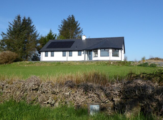
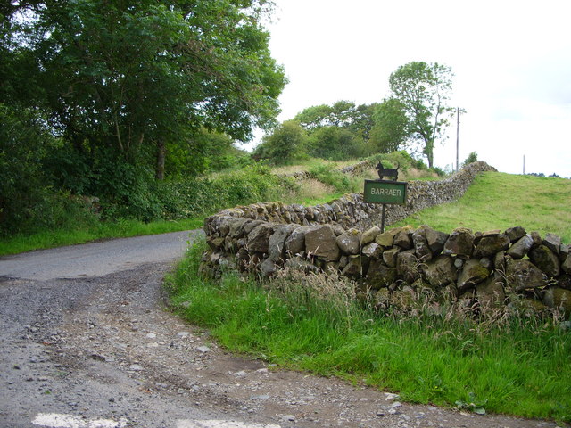
Barwhirran Moor is a vast expanse of downs and moorland located in Wigtownshire, Scotland. Stretching over an area of approximately 500 hectares, it offers breathtaking views and a diverse range of natural habitats.
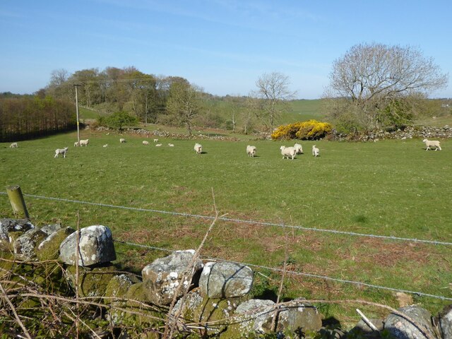
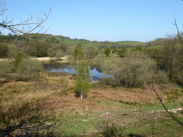
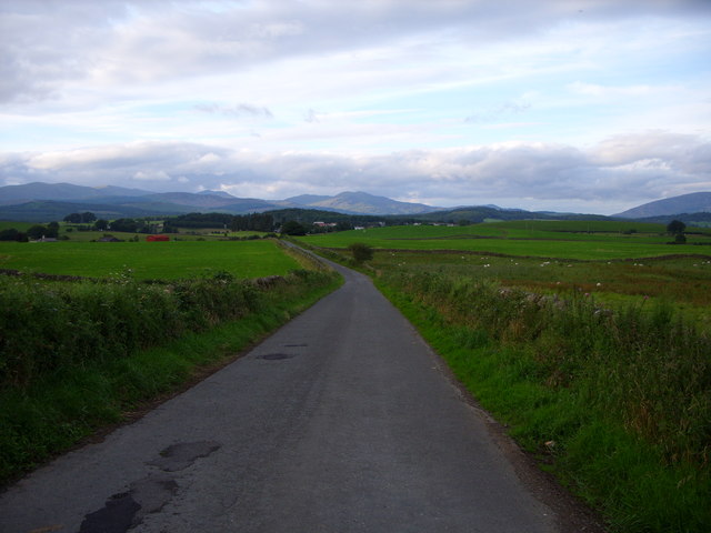
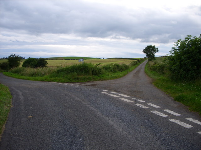
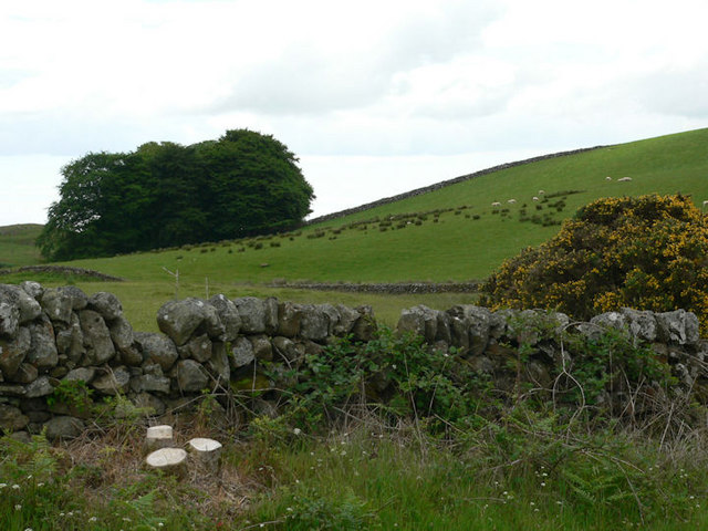
The moorland is characterized by its rolling hills, heather-covered slopes, and scattered patches of woodland. It is situated at an elevation of around 200 meters above sea level, providing visitors with panoramic vistas of the surrounding countryside. The area is renowned for its tranquility and untouched beauty, making it a perfect destination for nature lovers and outdoor enthusiasts.
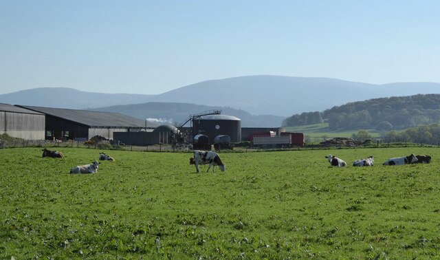
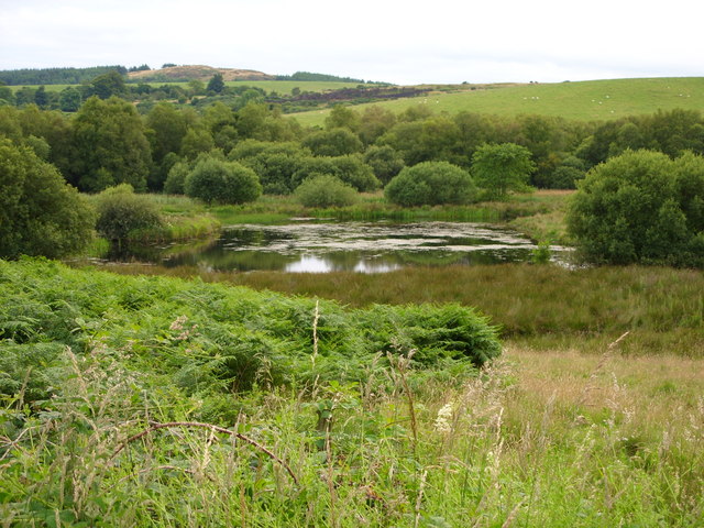
Barwhirran Moor boasts a rich biodiversity, with a variety of flora and fauna calling it home. The heather-dominated landscape provides a haven for numerous bird species, including the iconic red grouse and the elusive hen harrier. The moorland is also home to an array of insects, reptiles, and small mammals, adding to its ecological significance.
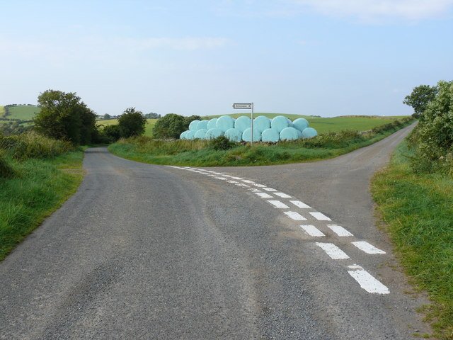
Visitors to Barwhirran Moor can explore its extensive network of walking trails, which offer an opportunity to immerse oneself in the serene surroundings. The paths meander through the heather-clad hills, revealing stunning vistas at every turn. The moorland is also a popular spot for birdwatching and photography, with its open landscapes providing ample opportunities to capture the beauty of the natural world.
Overall, Barwhirran Moor is a captivating destination that showcases the true essence of Scottish moorland. With its picturesque landscapes, abundant wildlife, and peaceful atmosphere, it offers a truly memorable experience for all who venture into its untamed beauty.
If you have any feedback on the listing, please let us know in the comments section below.
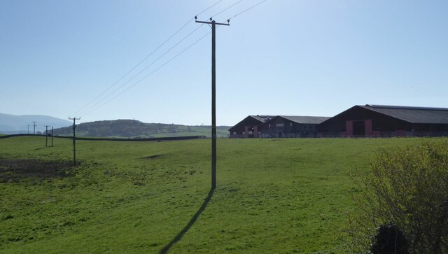
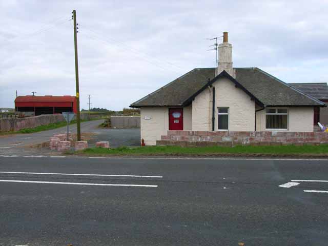
Barwhirran Moor Images
Images are sourced within 2km of 54.931626/-4.4954942 or Grid Reference NX4062. Thanks to Geograph Open Source API. All images are credited.


Barwhirran Moor is located at Grid Ref: NX4062 (Lat: 54.931626, Lng: -4.4954942)
Unitary Authority: Dumfries and Galloway
Police Authority: Dumfries and Galloway
What 3 Words
///thickened.kebabs.polka. Near Newton Stewart, Dumfries & Galloway
Nearby Locations
Related Wikis

Mains of Penninghame Platform railway station
Mains of Penninghame Platform railway station (NX410617) was a halt on the Wigtownshire Railway branch line, from Newton Stewart to Whithorn, of the Portpatrick...

Newton Stewart Hospital
Newton Stewart Hospital is a health facility in Newton Stewart, Dumfries and Galloway, Scotland. It is managed by NHS Dumfries and Galloway. == History... ==

Newton Stewart railway station
Newton Stewart railway station served the town of Newton Stewart, Dumfries and Galloway, Scotland from 1861 to 1965 on the Portpatrick and Wigtownshire...

McMillan Hall, Newton Stewart
The McMillan Hall is a municipal building in Dashwood Square in Newton Stewart, Dumfries and Galloway, Scotland. The structure, which is used as a community...

Newton Stewart F.C.
Newton Stewart Football Club are a football club from the town of Newton Stewart in the Dumfries and Galloway area of Scotland. Formed in 1880, as Newton...

Newton Stewart
Newton Stewart (Gd: Baile Ùr nan Stiùbhartach) is a former burgh town in the historical county of Wigtownshire in Dumfries and Galloway, southwest Scotland...

Penninghame
Penninghame in Wigtownshire, Dumfries and Galloway, Scotland, is a civil parish area, 8 miles (N. W.) from Wigtown. The area is approx 16 miles in length...
Douglas Ewart High School
Douglas Ewart High School was opened in 1922 in Newton Stewart, Scotland. It was formed by the amalgamation of the Douglas Free School opened in 1834...
Have you been to Barwhirran Moor?
Leave your review of Barwhirran Moor below (or comments, questions and feedback).