Babeleigh Moor
Downs, Moorland in Devon Torridge
England
Babeleigh Moor
Babeleigh Moor is a picturesque expanse of land located in Devon, England. Covering an area of approximately 1,000 acres, the moor is characterized by its rolling hills, expansive downs, and vibrant moorland. It is situated in the heart of the stunning Dartmoor National Park, renowned for its natural beauty and rich biodiversity.
The moorland of Babeleigh Moor is a haven for wildlife enthusiasts, with its diverse range of flora and fauna. Visitors can expect to spot various species of birds, including the iconic Dartford Warbler and the majestic buzzard soaring overhead. The moor is also home to numerous mammal species, such as the elusive otter, wild ponies, and the adorable Dartmoor pony, which freely roam the open landscapes.
Walking and hiking enthusiasts will find an array of paths and trails to explore, offering breathtaking views of the surrounding countryside. The moorland is intersected by babbling streams and dotted with ancient granite tors, adding a touch of mysticism to the landscape. These tors, such as the well-known Haytor, provide excellent climbing opportunities for adventure seekers.
Babeleigh Moor is steeped in history, with evidence of human habitation dating back thousands of years. Ancient stone circles, burial mounds, and remnants of prehistoric settlements can be found scattered across the moor, offering a glimpse into the region's past.
Whether it be for wildlife spotting, hiking, or immersing oneself in the ancient history of the area, Babeleigh Moor offers a captivating and idyllic retreat for nature lovers and history enthusiasts alike.
If you have any feedback on the listing, please let us know in the comments section below.
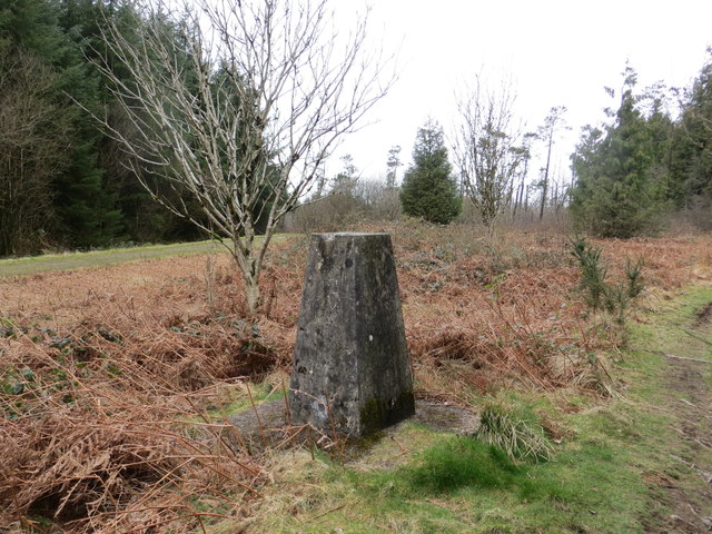
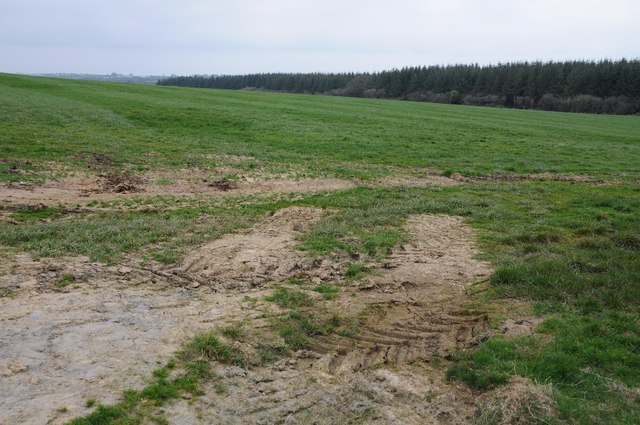
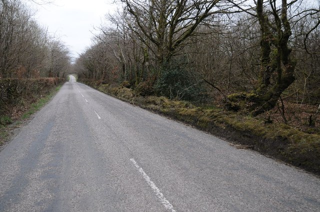
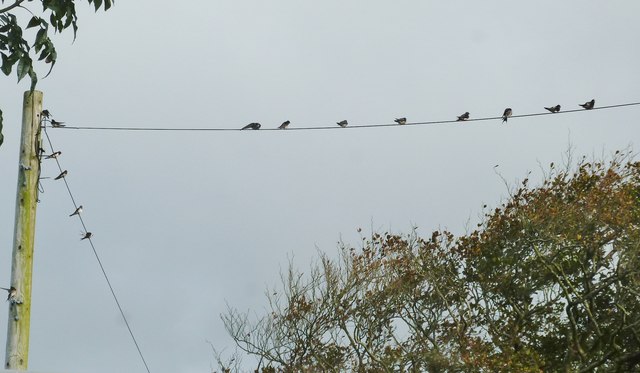
Babeleigh Moor Images
Images are sourced within 2km of 50.956823/-4.291923 or Grid Reference SS3919. Thanks to Geograph Open Source API. All images are credited.


Babeleigh Moor is located at Grid Ref: SS3919 (Lat: 50.956823, Lng: -4.291923)
Administrative County: Devon
District: Torridge
Police Authority: Devon and Cornwall
What 3 Words
///mint.whisker.husbands. Near Bideford, Devon
Nearby Locations
Related Wikis

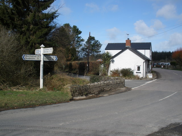
Bocombe
Bocombe is a village in Devon, England.

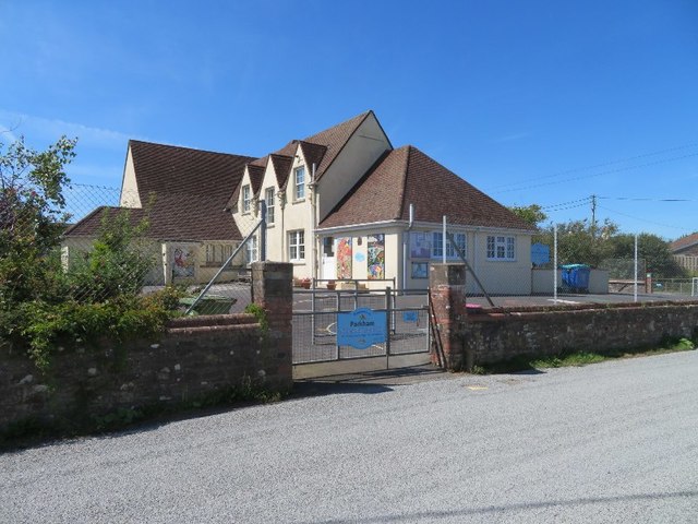
Parkham
Parkham is a small village, civil parish and former manor situated 5 miles south-west of the town of Bideford in north Devon, England. The parish, which...
Cabbacott
Cabbacott is a village in Devon, England. == External links == Media related to Cabbacott at Wikimedia Commons
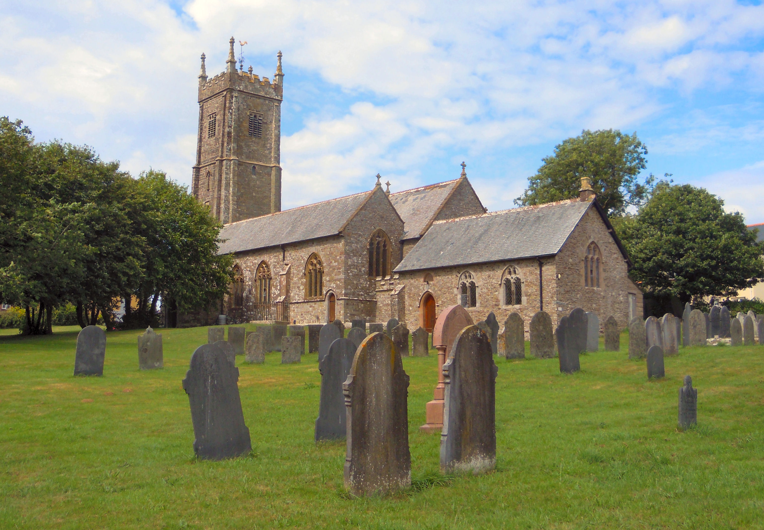
Church of St Mary and St Benedict, Buckland Brewer
St Mary and St Benedict is the Church of England parish church for the village of Buckland Brewer near Bideford in North Devon. It is part of the benefice...
Buckland Brewer
Buckland Brewer is a village and civil parish in the Torridge district of Devon, England, 4.7 miles south of Bideford. Historically the parish formed...
East Putford
East Putford is a small settlement and civil parish in the local government district of Torridge, Devon, England. The parish, which lies about halfway...
Hembury Castle, Tythecott
Hembury Castle is an Iron Age Hill fort situated close to Tythecott, south of Buckland Brewer in Devon. The fort is situated on a promontory off the East...
Peppercombe
Peppercombe is a small valley (combe) on the north-western coast of Devon, England. It is situated on the South West Coast Path between Westward Ho! to...
Nearby Amenities
Located within 500m of 50.956823,-4.291923Have you been to Babeleigh Moor?
Leave your review of Babeleigh Moor below (or comments, questions and feedback).