Gavin Braes
Downs, Moorland in Renfrewshire
Scotland
Gavin Braes
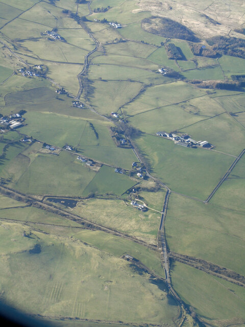
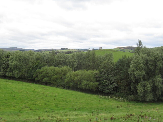
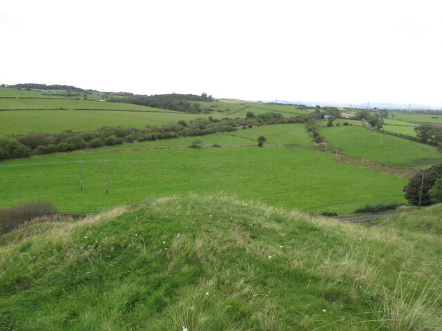
Gavin Braes is a picturesque area located in Renfrewshire, Scotland. The region is known for its breathtaking downs and expansive moorland, which attract visitors from near and far. With a landscape characterized by rolling hills, open grasslands, and heather-covered moors, Gavin Braes offers a tranquil escape for outdoor enthusiasts and nature lovers.
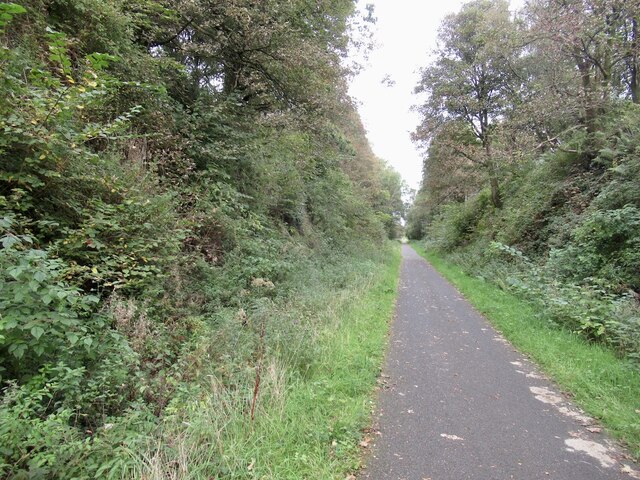
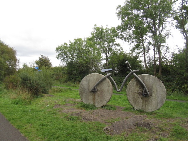
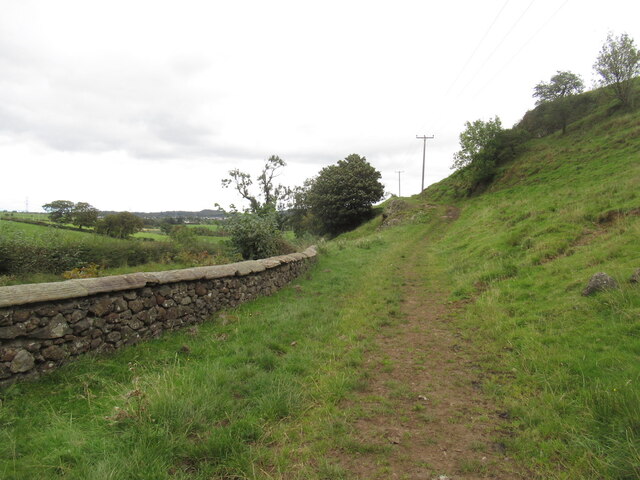
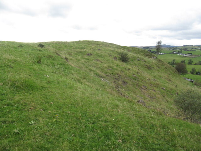
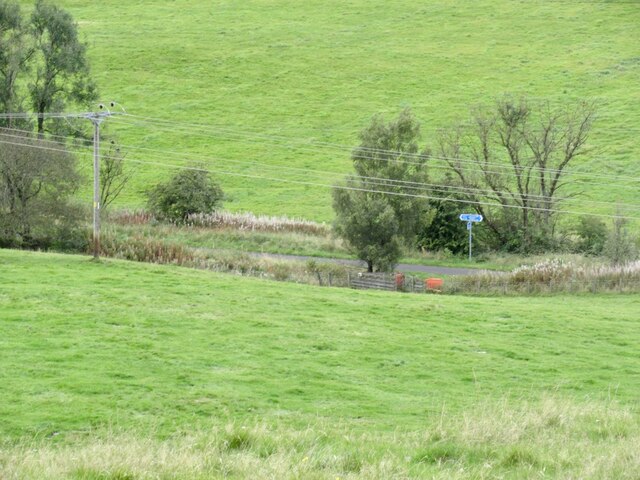
The downs in Gavin Braes provide visitors with stunning panoramic views of the surrounding countryside. These elevated areas offer opportunities for hiking, walking, and birdwatching, with several well-marked trails that cater to all levels of fitness and experience. The downs are abundant in flora and fauna, showcasing a diverse array of wildflowers, native plants, and wildlife species, including birds of prey and deer.
The moorland in Gavin Braes is a sight to behold, especially during the blooming season when the heather transforms the landscape into a vibrant purple carpet. The moors are home to various bird species, such as curlews, lapwings, and golden plovers, making it a haven for birdwatchers and ornithologists.
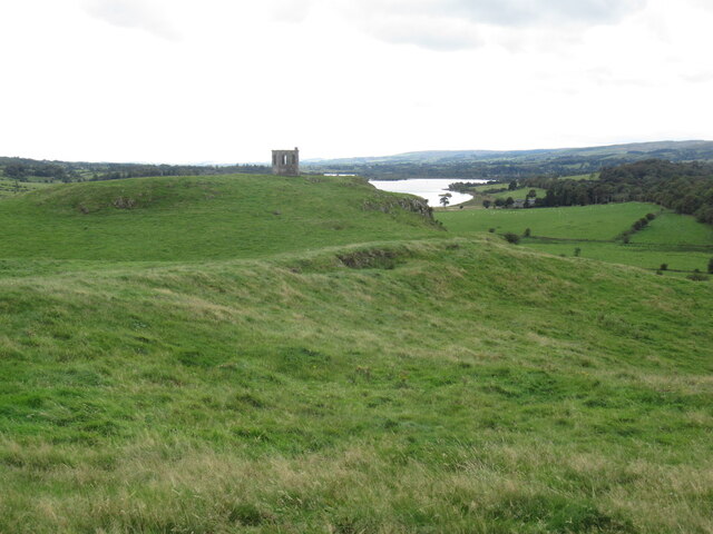
Aside from its natural beauty, Gavin Braes also boasts a rich history and cultural heritage. The area is dotted with ancient ruins, including standing stones and burial cairns, providing a glimpse into the past. Visitors can explore these historical sites and learn about the area's fascinating history.
Overall, Gavin Braes in Renfrewshire offers a captivating blend of downs, moorland, and historical landmarks. Whether one seeks a peaceful retreat in nature or an opportunity to delve into the region's heritage, Gavin Braes has something to offer for everyone.
If you have any feedback on the listing, please let us know in the comments section below.
Gavin Braes Images
Images are sourced within 2km of 55.79737/-4.5822952 or Grid Reference NS3859. Thanks to Geograph Open Source API. All images are credited.


Gavin Braes is located at Grid Ref: NS3859 (Lat: 55.79737, Lng: -4.5822952)
Unitary Authority: Renfrewshire
Police Authority: Renfrewshire and Inverclyde
What 3 Words
///glass.faded.remotest. Near Howwood, Renfrewshire
Nearby Locations
Related Wikis

Castle Semple
Castle Semple (previously Castletoun) is a former mansion house located in Renfrewshire, Scotland. It is situated near the eastern end of Castle Semple...
Lands of Elliston
The lands of Elliston, previously Elliotston or Eliotstoun or Elliestoun in the Parish of Lochwinnoch were part of the holdings of the Barony of Elliston...
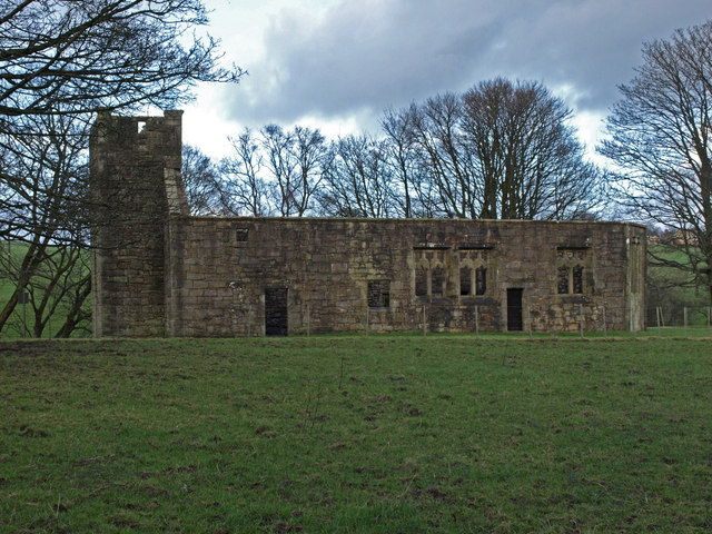
Castle Semple Church
Castle Semple Collegiate Church is located in Renfrewshire, Scotland. It is situated near the eastern end of Castle Semple Loch, within Clyde Muirshiel...
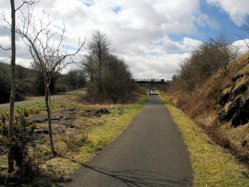
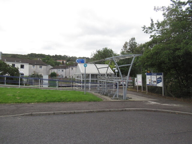
Castle Semple railway station
Castle Semple railway station was intended to be a railway station that would have served the village of Howwood, Renfrewshire, Scotland as part of the...

Castle Semple Loch
Castle Semple Loch is a 1.5-mile-long (2.5 km) inland freshwater loch at Lochwinnoch in Renfrewshire, Scotland. Originally part of an estate of the same...

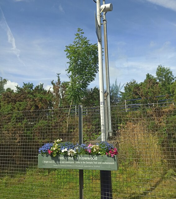
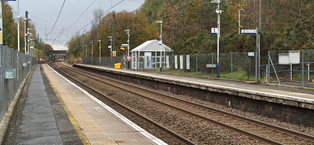
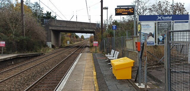
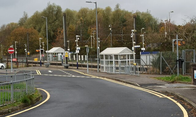
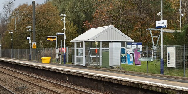
Howwood railway station
Howwood railway station is a railway station serving the village of Howwood, Renfrewshire, Scotland. The station is managed by ScotRail and is on the Ayrshire...

Howwood
Howwood (Scots: The Howewuid, Scottish Gaelic: Coille an Dail) is a village in Renfrewshire, Scotland. It is between Johnstone and Lochwinnoch, just off...

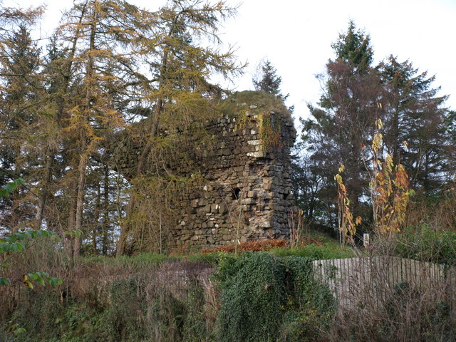
Belltrees Peel
Belltrees Peel is a medieval tower situated on a peninsula in Castle Semple Loch in Renfrewshire, Scotland, on which was once an island. == History... ==
Nearby Amenities
Located within 500m of 55.79737,-4.5822952Have you been to Gavin Braes?
Leave your review of Gavin Braes below (or comments, questions and feedback).