Barvennan Moss
Downs, Moorland in Wigtownshire
Scotland
Barvennan Moss
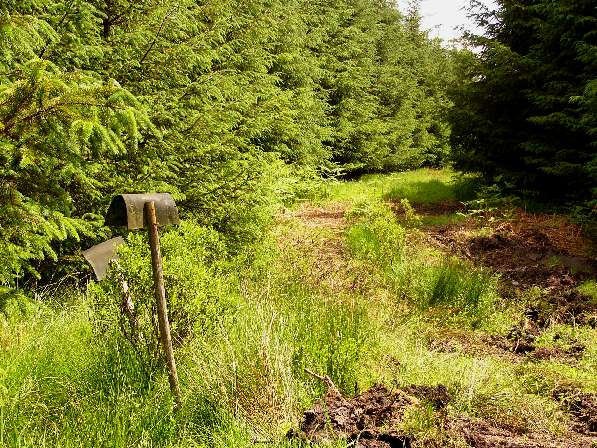
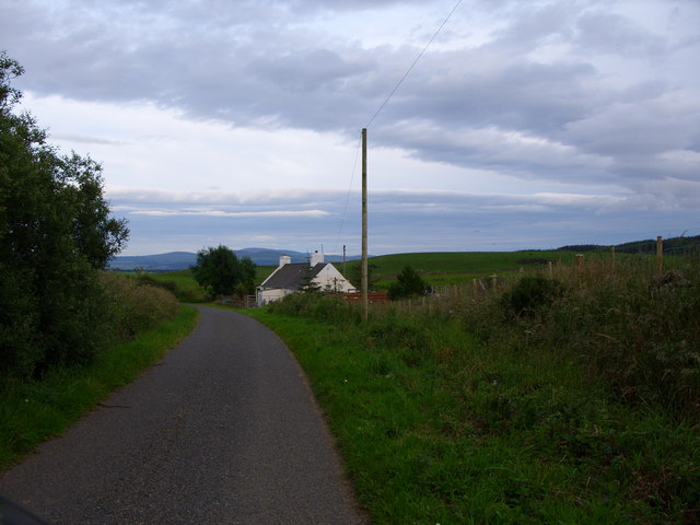
Barvennan Moss is a captivating expanse of moorland located in Wigtownshire, Scotland. Spread across an area of approximately 250 acres, it is a prominent feature of the local landscape. The moss is situated in the southern part of the region, near the village of Kirkcowan.
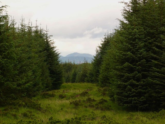
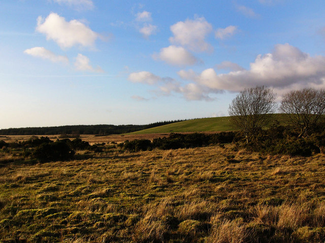
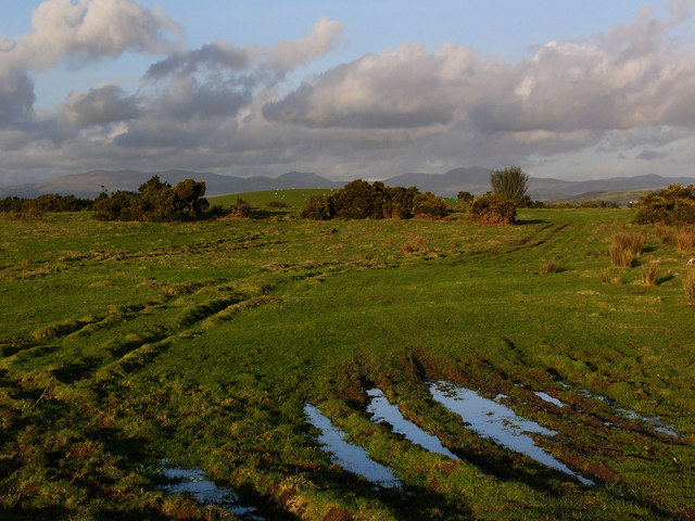
The terrain of Barvennan Moss consists of rolling hills covered in heather and bracken, creating a picturesque sight for visitors. The area is known for its peat deposits, which have accumulated over many years, contributing to the unique ecosystem found here. The peat acts as a natural water filter, supporting a variety of plant and animal life that thrive in this environment.
One of the notable features of Barvennan Moss is its diverse bird population. The moss serves as a nesting ground for numerous species, including curlews, lapwings, and red grouse. Birdwatchers often flock to this location to catch glimpses of these fascinating creatures in their natural habitat.
Additionally, Barvennan Moss is home to a wide range of plant species, such as bog cotton, sphagnum moss, and heather. These plants contribute to the vibrant colors that can be observed throughout the moss, particularly during the summer months.
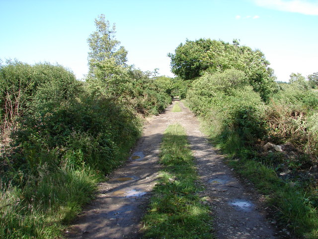
The moss is accessible via footpaths that lead visitors through its captivating landscape. It provides an opportunity for outdoor enthusiasts to explore and appreciate the natural beauty that Wigtownshire has to offer.
If you have any feedback on the listing, please let us know in the comments section below.
Barvennan Moss Images
Images are sourced within 2km of 54.913508/-4.5313221 or Grid Reference NX3760. Thanks to Geograph Open Source API. All images are credited.


Barvennan Moss is located at Grid Ref: NX3760 (Lat: 54.913508, Lng: -4.5313221)
Unitary Authority: Dumfries and Galloway
Police Authority: Dumfries and Galloway
What 3 Words
///chill.critic.accompany. Near Newton Stewart, Dumfries & Galloway
Nearby Locations
Related Wikis

Mains of Penninghame Platform railway station
Mains of Penninghame Platform railway station (NX410617) was a halt on the Wigtownshire Railway branch line, from Newton Stewart to Whithorn, of the Portpatrick...

Torhouse
The Standing Stones of Torhouse (also Torhousekie) are a stone circle of nineteen granite boulders on the land of Torhouse, three miles west of Wigtown...

Causeway End railway station
Causeway End (NX 42047 59602) or Causwayend was a railway station on the Wigtownshire Railway branch line, from Newton Stewart to Whithorn, of the Portpatrick...

Newton Stewart Hospital
Newton Stewart Hospital is a health facility in Newton Stewart, Dumfries and Galloway, Scotland. It is managed by NHS Dumfries and Galloway. == History... ==
Nearby Amenities
Located within 500m of 54.913508,-4.5313221Have you been to Barvennan Moss?
Leave your review of Barvennan Moss below (or comments, questions and feedback).