Bromley Muir
Downs, Moorland in Dunbartonshire
Scotland
Bromley Muir
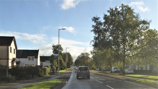
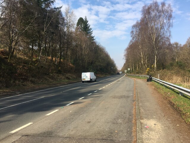
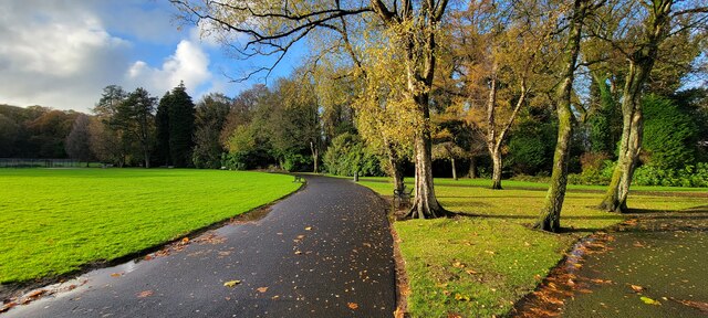
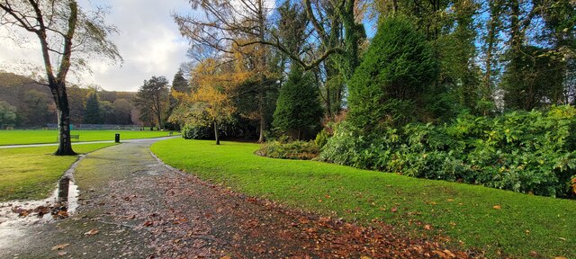
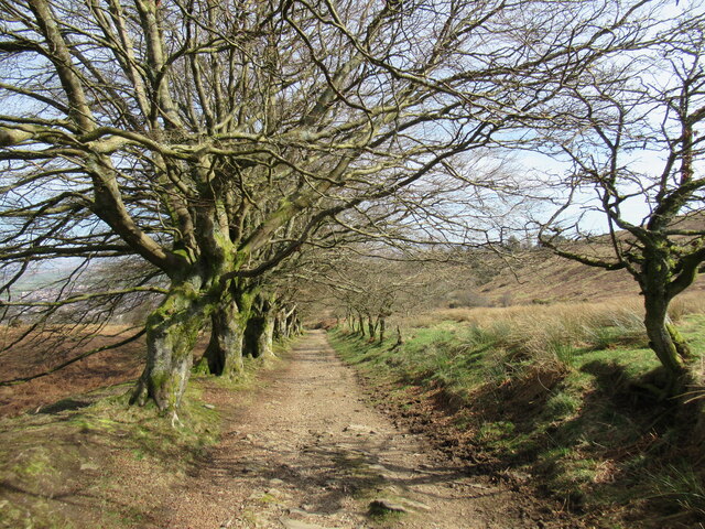
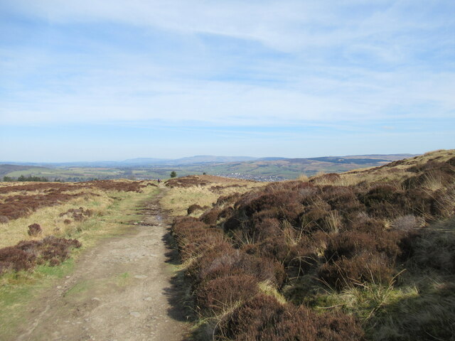
Bromley Muir is an expansive area of downs and moorland located in Dunbartonshire, Scotland. Covering a vast expanse of approximately 200 square kilometers, this natural landscape is characterized by its rolling hills, heather-covered moors, and stunning panoramic views.
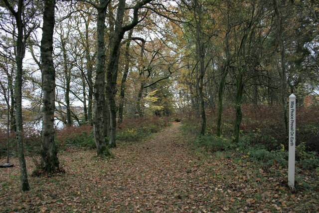
Situated in the southern part of Dunbartonshire, Bromley Muir boasts a rich and diverse ecosystem. The area is home to a variety of plant and animal species, making it a popular destination for nature enthusiasts and wildlife observers. The moorland is adorned with vibrant heather, which blooms in shades of purple during the summer months, creating a picturesque and colorful setting.
The downs of Bromley Muir present a unique topography, with gently sloping hills and open grasslands. This terrain offers opportunities for outdoor activities such as hiking, cycling, and horseback riding. Visitors can explore the network of trails that wind through the area and take in the breathtaking views of the surrounding countryside.
Bromley Muir is also of historical significance, with several ancient archaeological sites scattered throughout the landscape. These sites provide insight into the area's rich past, offering a glimpse into the lives of the people who once inhabited this land.
Overall, Bromley Muir is a captivating natural area that showcases the beauty and diversity of Dunbartonshire. With its stunning vistas, abundant wildlife, and historical significance, it is a must-visit destination for both locals and tourists seeking to immerse themselves in the splendor of Scotland's countryside.
If you have any feedback on the listing, please let us know in the comments section below.
Bromley Muir Images
Images are sourced within 2km of 55.99082/-4.6114612 or Grid Reference NS3780. Thanks to Geograph Open Source API. All images are credited.
![Stone Horse Trough This trough is on the west side of Old Luss Road. It is 2 metres north of a stone walled culvert and approximately 350 metres north of the south entrance to the Cameron House Estate.
It is shown on the Scottish OS map of Dumbartonshire [sic] Sheet nXVIII Revised: 1914, Published: 1923. The trough is therefore in excess of 100 years old.
A comparatively modern inlet pipe ensures that the trough is permanently filled with water.](https://s0.geograph.org.uk/geophotos/07/34/54/7345464_f09fc1bf.jpg)


Bromley Muir is located at Grid Ref: NS3780 (Lat: 55.99082, Lng: -4.6114612)
Unitary Authority: West Dunbartonshire
Police Authority: Argyll and West Dunbartonshire
What 3 Words
///fountain.adopters.fooling. Near Alexandria, West Dunbartonshire
Nearby Locations
Related Wikis
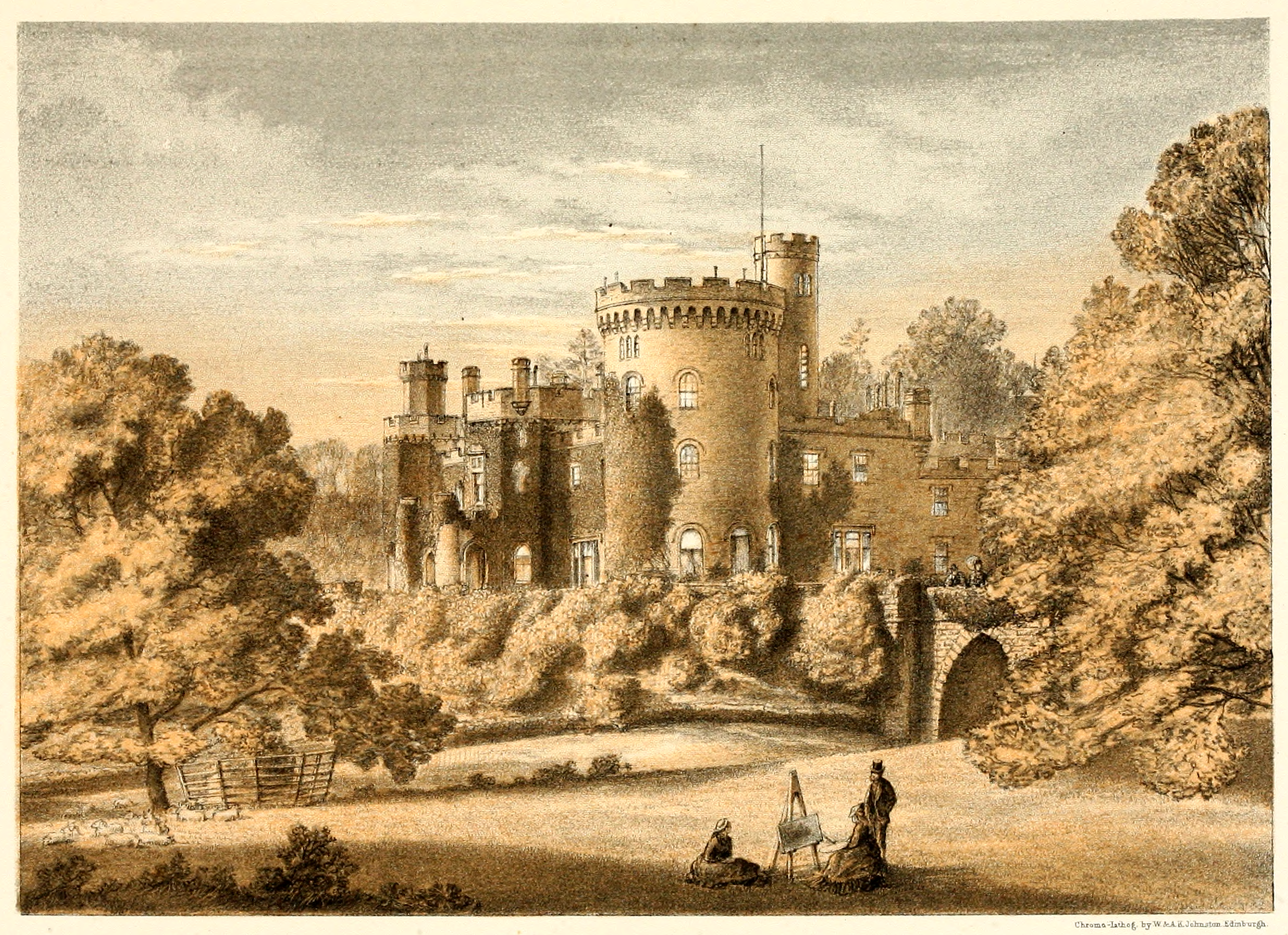
Tullichewan
Tullichewan is a former estate in the Vale of Leven, near Loch Lomond, Scotland. Tullichewan Castle was built in 1792 and demolished in 1954. It was located...

Vale of Leven Hospital
Vale of Leven District General Hospital or simply the Vale of Leven Hospital is a district general hospital in Alexandria, West Dunbartonshire, Scotland...

Argyll Motor Works
The Argyll Motor Works, currently known as Lomond Galleries, is a former car factory in Alexandria, West Dunbartonshire, Scotland. It was opened in 1906...

Loch Lomond distillery
Loch Lomond distillery is a Highland Single Malt Scotch whisky distillery in Alexandria, Scotland, near Loch Lomond. == History == The first site of the...
Nearby Amenities
Located within 500m of 55.99082,-4.6114612Have you been to Bromley Muir?
Leave your review of Bromley Muir below (or comments, questions and feedback).