Guyhirn Gull
Settlement in Cambridgeshire Fenland
England
Guyhirn Gull

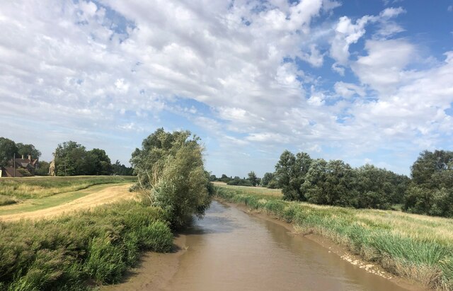
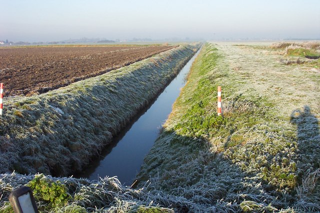
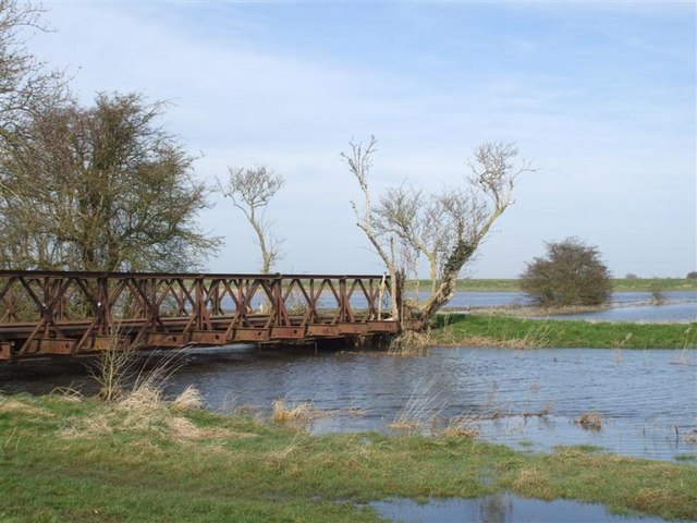
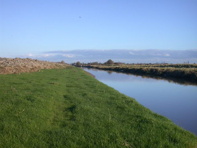
Guyhirn Gull is a small village situated in the county of Cambridgeshire, England. Located approximately 8 miles east of Peterborough, the village lies on the banks of the Middle Level Navigations, a network of man-made waterways that traverse the Fens.
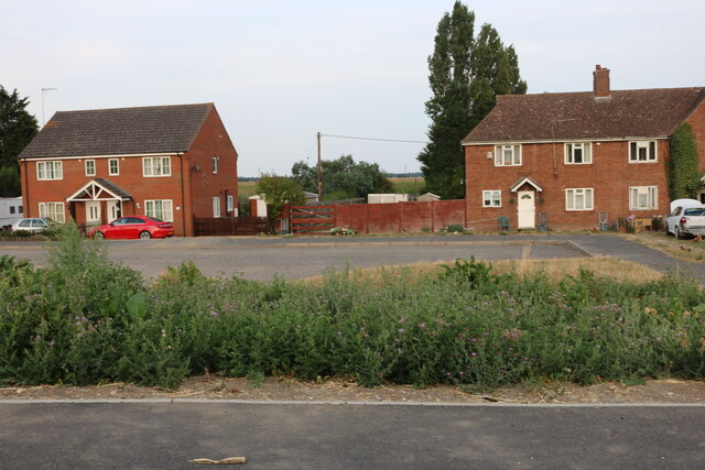
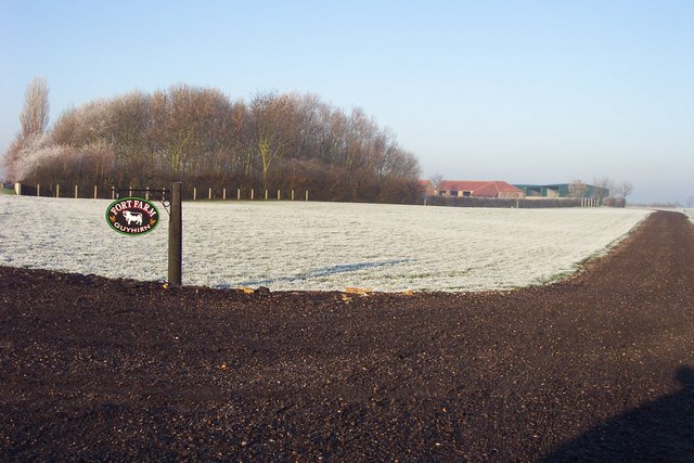
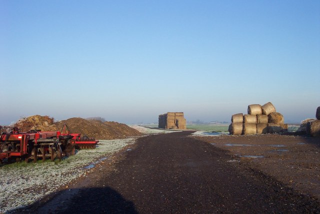
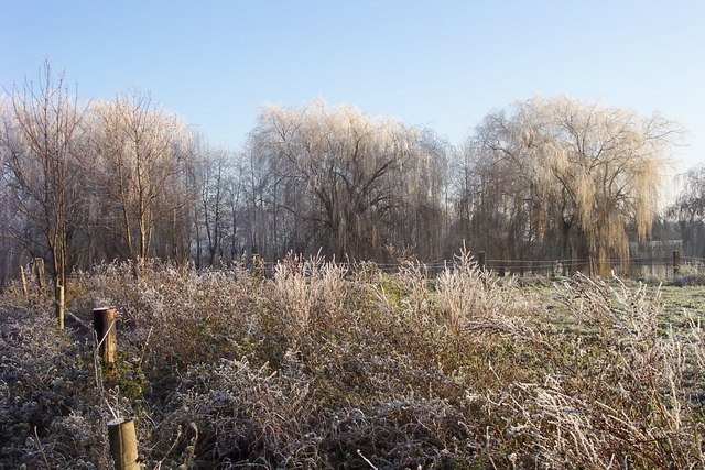
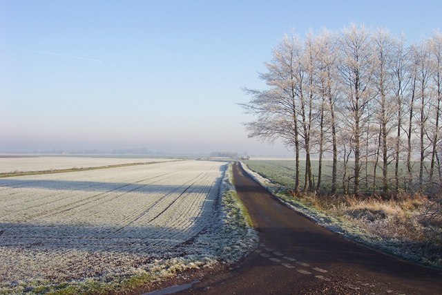
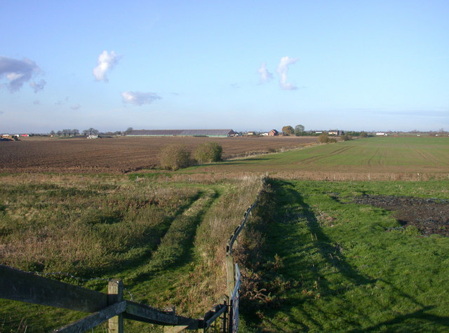
The village is characterized by its picturesque countryside setting, with open fields and meadows surrounding the area. It is primarily a residential community, with a population of around 500 people. The village is known for its tranquil and peaceful atmosphere, making it an ideal place for those seeking a rural lifestyle.
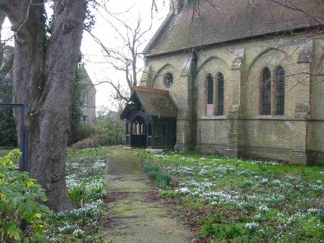
Despite its small size, Guyhirn Gull has a few notable landmarks. One of the most prominent is the Guyhirn Chapel, a historic building that dates back to the 19th century. It serves as a local place of worship and is a significant part of the village's cultural heritage.
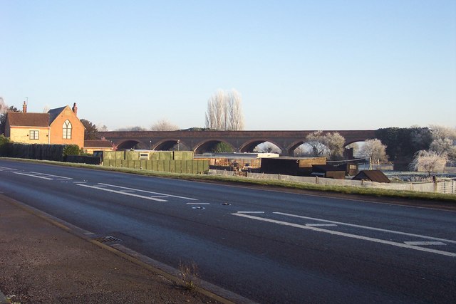
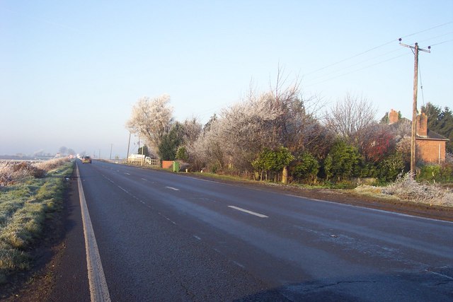
The village also benefits from its proximity to several amenities. The nearby town of Wisbech provides essential services such as schools, shops, and healthcare facilities. Additionally, the village is well-connected by road, with the A47 passing through the area, offering convenient access to neighboring towns and cities.
In terms of recreational activities, residents of Guyhirn Gull can enjoy the natural beauty of the surrounding landscape. The waterways provide opportunities for boating and fishing, while the nearby fields and trails offer pleasant walks and cycling routes.
Overall, Guyhirn Gull offers a tranquil and idyllic setting for those looking to embrace a peaceful rural lifestyle in the heart of Cambridgeshire.
If you have any feedback on the listing, please let us know in the comments section below.
Guyhirn Gull Images
Images are sourced within 2km of 52.615988/0.05166618 or Grid Reference TF3904. Thanks to Geograph Open Source API. All images are credited.


Guyhirn Gull is located at Grid Ref: TF3904 (Lat: 52.615988, Lng: 0.05166618)
Division: Isle of Ely
Administrative County: Cambridgeshire
District: Fenland
Police Authority: Cambridgeshire
What 3 Words
///chap.cooked.waitress. Near March, Cambridgeshire
Nearby Locations
Related Wikis

Guyhirn
Guyhirn (sometimes spelled Guyhirne) is a village near the town of Wisbech in Cambridgeshire, England. It is on the northern bank of the River Nene, at...
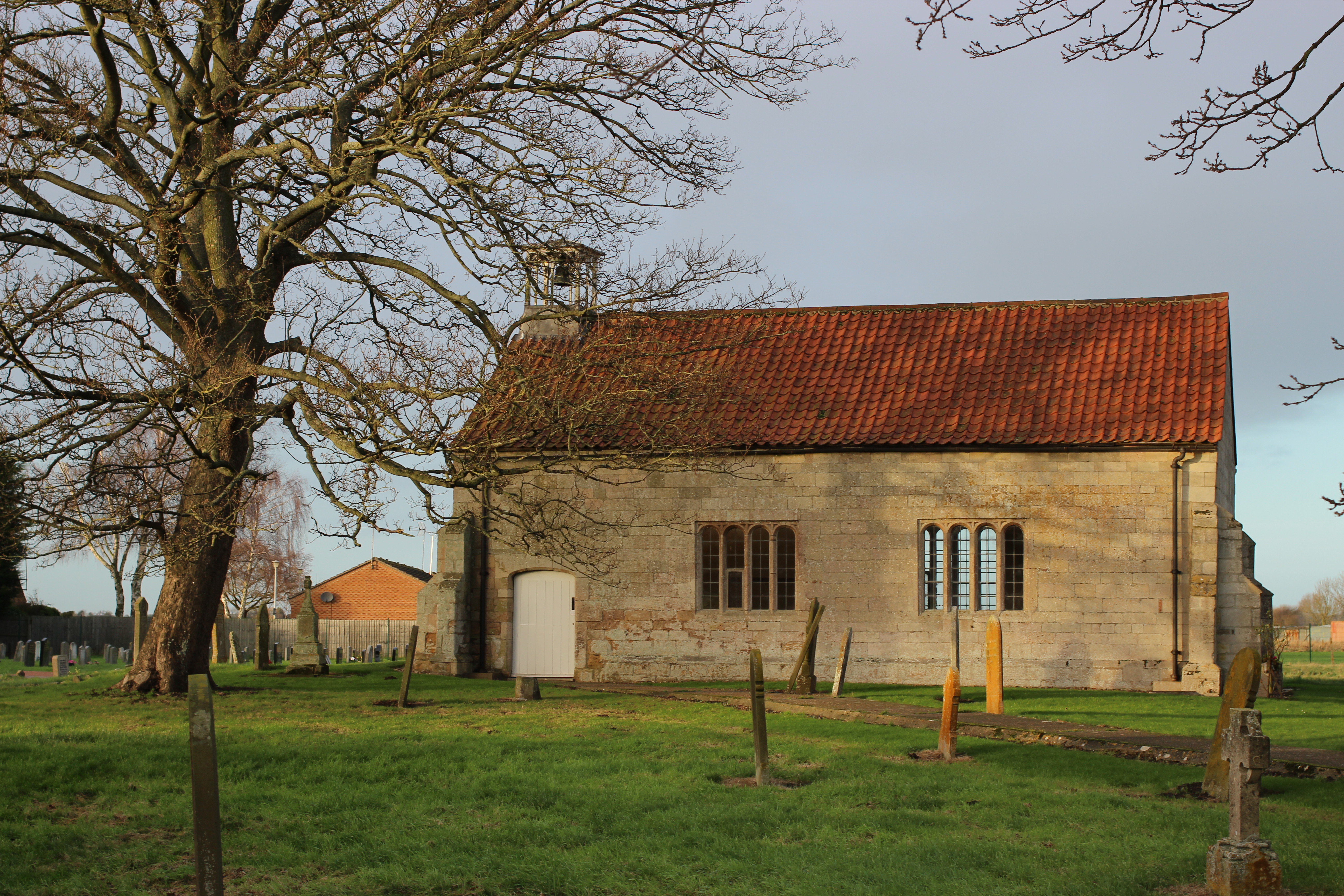
Guyhirn Chapel of Ease
Guyhirn Chapel of Ease, also known as Guyhirn Old Church, is a small rectangular chapel in Guyhirn, Cambridgeshire noted for being built during the Puritan...

Ring's End
Ring's End is a hamlet near Guyhirn in the Isle of Ely in Cambridgeshire, England. The population is included in the civil parish of Elm in the Fenland...

Guyhirne railway station
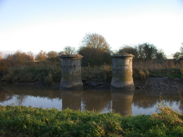
Guyhirne railway station was a station at Ring's End, near Guyhirn, Cambridgeshire on the Great Northern and Great Eastern Joint Railway between Spalding...

Tholomas Drove
Tholomas Drove is a hamlet in Wisbech St Mary civil parish, part of the Fenland district in the Isle of Ely, Cambridgeshire, England. The population is...

Murrow, Cambridgeshire
Murrow is a village in the civil parish of Wisbech St Mary, in Cambridgeshire, England.The village is on Murrow Bank, the B1187 road, 5 miles (8 km) west...

Ring's End Local Nature Reserve
Ring's End is an 11 hectare Local Nature Reserve which runs south from the hamlet of Ring's End towards March in the Isle of Ely, Cambridgeshire. It is...

Murrow East railway station
Murrow East railway station was a station in Murrow, Cambridgeshire. It was on the Midland and Great Northern Joint Railway line between Wisbech and Peterborough...
Nearby Amenities
Located within 500m of 52.615988,0.05166618Have you been to Guyhirn Gull?
Leave your review of Guyhirn Gull below (or comments, questions and feedback).