Allt y Gwrddon
Downs, Moorland in Cardiganshire
Wales
Allt y Gwrddon

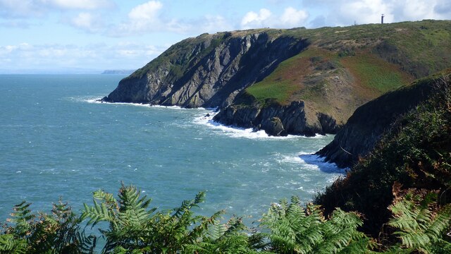
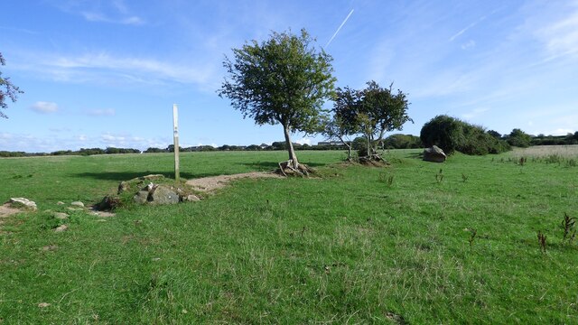
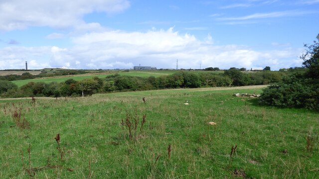
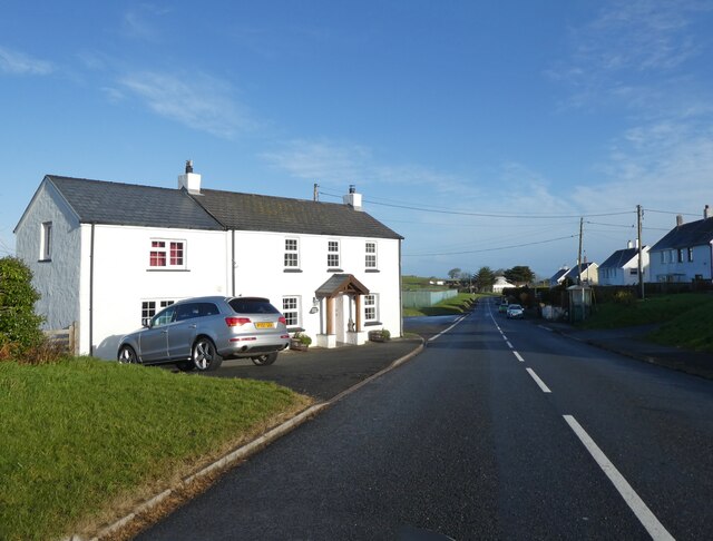
Allt y Gwrddon is a large expanse of upland moorland located in Cardiganshire, Wales. The site is known for its stunning views of the surrounding countryside, including the Cardigan Bay to the west and the Cambrian Mountains to the east. The area is characterized by its rolling hills, heather-covered slopes, and scattered patches of woodland.
Allt y Gwrddon is home to a variety of wildlife, including red grouse, peregrine falcons, and red kites. The moorland also supports a diverse range of plant species, such as bilberry, heather, and cotton grass.
The site is popular with hikers and birdwatchers, who come to enjoy the peaceful surroundings and abundant wildlife. The moorland is crisscrossed with footpaths and bridleways, making it easy for visitors to explore the area on foot or by bike.
Overall, Allt y Gwrddon is a beautiful and tranquil natural landscape, offering visitors the chance to experience the rugged beauty of the Welsh countryside.
If you have any feedback on the listing, please let us know in the comments section below.
Allt y Gwrddon Images
Images are sourced within 2km of 52.136683/-4.579414 or Grid Reference SN2351. Thanks to Geograph Open Source API. All images are credited.


![Felinwynt Summit Roadside bag so up hedgeside to NNW and SSE but fields seem lower than road.
Name: Felinwynt
Hill number: 15438
Height:174m / 571ft
Parent (Ma/M): 2221 Rhos Ymryson
Section:31C: South-West Wales
County/UA:Cardiganshire [Ceredigion] (CoU)
Class: Tump (100-199m)
Grid ref:SN226503 (est)
Drop: 55m
Col:119m SN248499](https://s0.geograph.org.uk/geophotos/04/66/69/4666984_ac6db6b4.jpg)

Allt y Gwrddon is located at Grid Ref: SN2351 (Lat: 52.136683, Lng: -4.579414)
Unitary Authority: Ceredigion
Police Authority: Dyfed Powys
What 3 Words
///eager.winds.outgoing. Near Aberporth, Ceredigion
Nearby Locations
Related Wikis

Parc-llyn
Parc-llyn (also known as Parcllyn) is a village in the community of Aberporth, Ceredigion, Wales, which is 74.4 miles (119.7 km) from Cardiff and 194...

Clausen Rolling Platform
The Clausen Rolling Platform was a missile launching platform, built at the coastal missile test range of RAE Aberporth, West Wales, in the 1950s. It used...
Aberporth
Aberporth is a seaside village, community and electoral ward in Ceredigion, Wales. The population at the 2001 Census, was 2,485, of whom 49 per cent could...
Rhosygadair Newydd
Rhosygadair Newydd is a small village in the community of Aberporth, Ceredigion, Wales, which is 73.9 miles (118.9 km) from Cardiff and 194.1 miles (312...
Nearby Amenities
Located within 500m of 52.136683,-4.579414Have you been to Allt y Gwrddon?
Leave your review of Allt y Gwrddon below (or comments, questions and feedback).