Burnpark Moss
Downs, Moorland in Wigtownshire
Scotland
Burnpark Moss

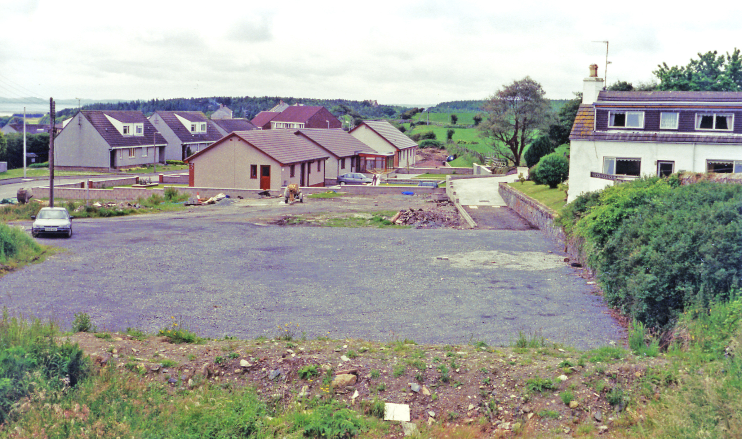
Burnpark Moss is a vast expanse of downs and moorland located in Wigtownshire, Scotland. Covering an area of approximately 200 acres, it is a popular destination for nature enthusiasts and outdoor enthusiasts alike. The moss is situated in a remote and isolated part of the region, offering visitors a peaceful and tranquil environment to explore.
The landscape of Burnpark Moss is characterised by rolling hills, heather-covered moorland, and scattered patches of shrubs and trees. The downs provide breathtaking panoramic views of the surrounding countryside, with glimpses of distant hills and the occasional sighting of wildlife such as red deer, rabbits, and various bird species.
The moss is crisscrossed with a network of walking trails, allowing visitors to fully immerse themselves in the natural beauty of the area. These trails range in difficulty, catering to both casual walkers and more experienced hikers. Along the way, visitors can expect to encounter babbling streams, small ponds, and even the remnants of ancient settlements, adding an element of historical interest to the experience.
Burnpark Moss is also known for its unique flora, with a variety of wildflowers and mosses dotting the landscape. During the summer months, the downs come alive with vibrant colors, creating a picturesque scene that is perfect for photographers and nature enthusiasts.
Overall, Burnpark Moss is a hidden gem in Wigtownshire, offering visitors a chance to escape the hustle and bustle of modern life and immerse themselves in the tranquility of nature. Whether it's a leisurely stroll or a challenging hike, this downs and moorland is sure to leave a lasting impression on all who visit.
If you have any feedback on the listing, please let us know in the comments section below.
Burnpark Moss Images
Images are sourced within 2km of 54.898873/-4.7563499 or Grid Reference NX2359. Thanks to Geograph Open Source API. All images are credited.
Burnpark Moss is located at Grid Ref: NX2359 (Lat: 54.898873, Lng: -4.7563499)
Unitary Authority: Dumfries and Galloway
Police Authority: Dumfries and Galloway
What 3 Words
///pursue.printouts.paddocks. Near Stranraer, Dumfries & Galloway
Nearby Locations
Related Wikis
Barhapple Loch
Barhapple Loch is a small semicircular freshwater loch located in Wigtownshire, Dumfries and Galloway in Scotland. Barhapple Loch is principally known...
Glenluce railway station
Glenluce station was a station open in 1862 on the former Port Road that was constructed on the Portpatrick and Wigtownshire Joint Railway. It served the...
Old Luce
Old Luce is a civil parish in Dumfries and Galloway, Scotland. It lies in the Machars peninsula, in the traditional county of Wigtownshire. The parish...
Glenluce
Glenluce (Scottish Gaelic: Clachan Ghlinn Lus) is a small village in the parish of Old Luce in Wigtownshire, Scotland.It contains a village shop,a caravan...
Mid Gleniron
Mid Gleniron is a prehistoric site in Dumfries and Galloway used in the Neolithic and Bronze Age. The site is a scheduled ancient monument that comprises...
Glenluce Abbey
Glenluce Abbey, near to Glenluce, Scotland, was a Cistercian monastery called also Abbey of Luce or Vallis Lucis and founded around 1190 by Rolland or...
Castle of Park
The Castle of Park is a 16th-century L-plan tower house near Glenluce, in the historic county of Wigtownshire in Dumfries and Galloway, Scotland. It...
Tarf Water, Wigtownshire
The Tarf Water is a river in the former county of Wigtownshire in south-west Scotland. It rises on the Ayrshire border (55.0048°N 4.7815°W / 55.0048;...
Nearby Amenities
Located within 500m of 54.898873,-4.7563499Have you been to Burnpark Moss?
Leave your review of Burnpark Moss below (or comments, questions and feedback).


