Black Down
Downs, Moorland in Cornwall
England
Black Down

Black Down is a prominent and picturesque area located in Cornwall, England. It is situated on the Bodmin Moor, an expansive and rugged moorland known for its natural beauty and diverse wildlife. Black Down is part of the larger Caradon Hill and is one of the highest points on Bodmin Moor, reaching an elevation of approximately 1,260 feet (384 meters).
The landscape of Black Down is characterized by rolling hills, open moorland, and rocky outcrops, offering breathtaking panoramic views of the surrounding countryside. The area is rich in archaeological sites, with evidence of human activity dating back thousands of years, including stone circles, burial mounds, and ancient settlements.
Black Down is a haven for nature enthusiasts, with a variety of flora and fauna calling it home. The moorland is covered in heather and gorse, providing a vibrant display of colors during the summer months. The area is also known for its wildlife, including native species such as the Dartmoor pony, red deer, and various bird species.
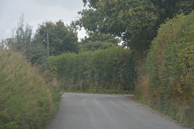
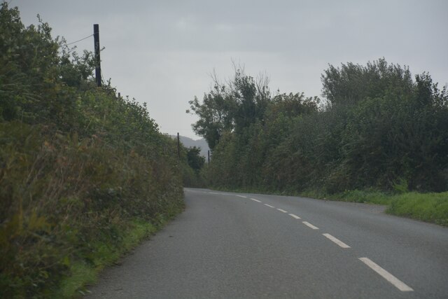
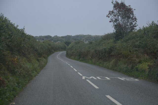
Visitors to Black Down can explore the area through a network of footpaths and trails, offering opportunities for hiking, walking, and wildlife spotting. The rugged terrain and open spaces make it an ideal destination for outdoor activities such as orienteering and geocaching.
Overall, Black Down offers a unique and captivating experience for those seeking a connection with nature and a glimpse into Cornwall's rich history.
If you have any feedback on the listing, please let us know in the comments section below.
Black Down Images
Images are sourced within 2km of 50.410336/-4.4977681 or Grid Reference SX2259. Thanks to Geograph Open Source API. All images are credited.


Black Down is located at Grid Ref: SX2259 (Lat: 50.410336, Lng: -4.4977681)
Unitary Authority: Cornwall
Police Authority: Devon and Cornwall
What 3 Words
///grasp.influence.whirlwind. Near Duloe, Cornwall
Nearby Locations
Related Wikis

Bodbrane
Bodbrane is an ancient farmstead hamlet in southeast Cornwall, England, United Kingdom. It is situated about three miles (5 km) south of Liskeard in the...
Herodsfoot
Herodsfoot (Cornish: Nanshiryarth) is a village in southeast Cornwall, England, United Kingdom. It is situated approximately four miles (6 km) southwest...

Churchbridge, Cornwall
Churchbridge is a hamlet in Cornwall, England. It is a mile west of Duloe, and is situated on the West Looe River. Both banks of the river are wooded,...

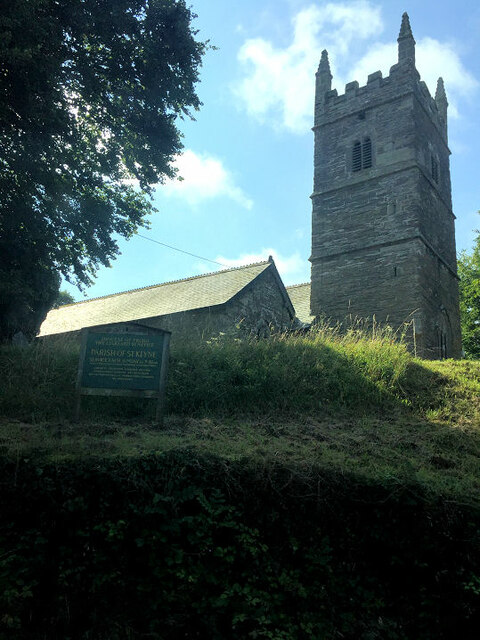
Duloe, Cornwall
Duloe (Cornish: Dewlogh (Eng. 'Two Rivers')) is a village and civil parish in Cornwall, England, United Kingdom. It is situated approximately four miles...
Nearby Amenities
Located within 500m of 50.410336,-4.4977681Have you been to Black Down?
Leave your review of Black Down below (or comments, questions and feedback).