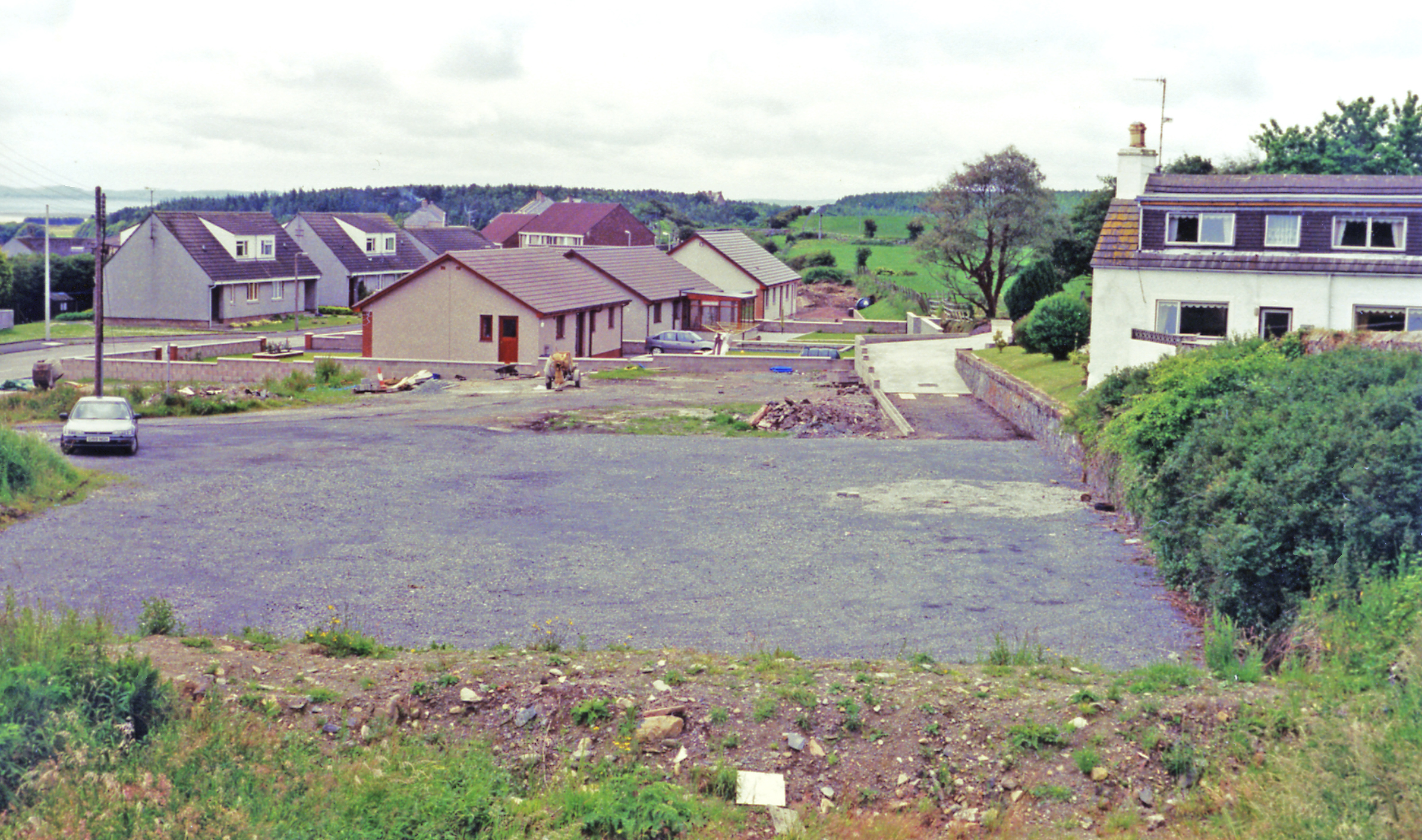
Barlockhart Moor
Downs, Moorland in Wigtownshire
Scotland
Barlockhart Moor

Barlockhart Moor is a vast expanse of downs and moorland located in Wigtownshire, a historic region in southwest Scotland. Covering an area of approximately 5 square kilometers, the moor is situated amidst the picturesque countryside, offering stunning views of rolling hills and open landscapes.
Characterized by its unique mix of heather, grasses, and scattered shrubs, Barlockhart Moor is a haven for various wildlife species. It is home to a diverse range of bird species, including red grouse, skylarks, and curlews, making it an ideal destination for birdwatchers and nature enthusiasts. Additionally, the moorland supports a variety of insects, such as butterflies and dragonflies, further adding to its ecological significance.
The moorland's terrain is predominantly flat, with gentle undulations and occasional rocky outcrops. Walking trails crisscross the area, allowing visitors to explore the moor and appreciate its natural beauty up close. The paths offer an opportunity to witness the changing landscapes throughout the seasons, from vibrant purple heather blooms in summer to golden hues in autumn.
Barlockhart Moor is also recognized for its historical significance. The remains of ancient settlements, including stone circles and burial mounds, can be found scattered across the moorland, providing glimpses into the region's past. Archaeological investigations have unearthed artifacts dating back thousands of years, shedding light on the lives of early inhabitants.
In summary, Barlockhart Moor in Wigtownshire is a captivating natural landscape that showcases the beauty of downs and moorland. With its rich biodiversity, scenic vistas, and historical remnants, the moor offers visitors a truly immersive experience in the Scottish countryside.
If you have any feedback on the listing, please let us know in the comments section below.
Barlockhart Moor Images
Images are sourced within 2km of 54.874304/-4.7745019 or Grid Reference NX2256. Thanks to Geograph Open Source API. All images are credited.
Barlockhart Moor is located at Grid Ref: NX2256 (Lat: 54.874304, Lng: -4.7745019)
Unitary Authority: Dumfries and Galloway
Police Authority: Dumfries and Galloway
What 3 Words
///compelled.wheels.panicking. Near Stranraer, Dumfries & Galloway
Nearby Locations
Related Wikis
Glenluce railway station
Glenluce station was a station open in 1862 on the former Port Road that was constructed on the Portpatrick and Wigtownshire Joint Railway. It served the...
Old Luce
Old Luce is a civil parish in Dumfries and Galloway, Scotland. It lies in the Machars peninsula, in the traditional county of Wigtownshire. The parish...
Glenluce
Glenluce (Scottish Gaelic: Clachan Ghlinn Lus) is a small village in the parish of Old Luce in Wigtownshire, Scotland.It contains a village shop,a caravan...
Castle of Park
The Castle of Park is a 16th-century L-plan tower house near Glenluce, in the historic county of Wigtownshire in Dumfries and Galloway, Scotland. It...
Nearby Amenities
Located within 500m of 54.874304,-4.7745019Have you been to Barlockhart Moor?
Leave your review of Barlockhart Moor below (or comments, questions and feedback).


