Blood Moss
Downs, Moorland in Renfrewshire
Scotland
Blood Moss

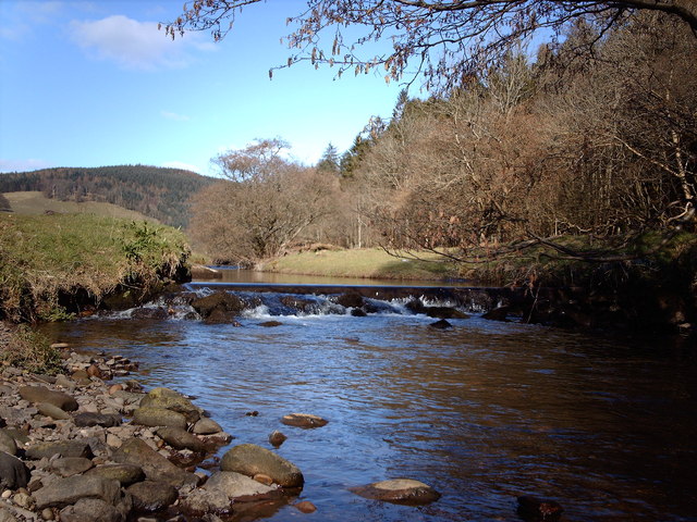
Blood Moss is a remarkable natural area located in Renfrewshire, Scotland, characterized by its diverse landscape of downs and moorland. Covering an expansive area of approximately 500 acres, it is a haven for nature enthusiasts and hikers alike.
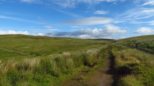
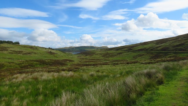
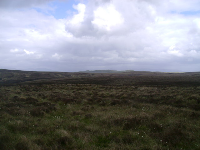
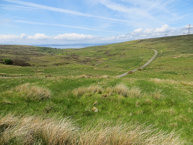
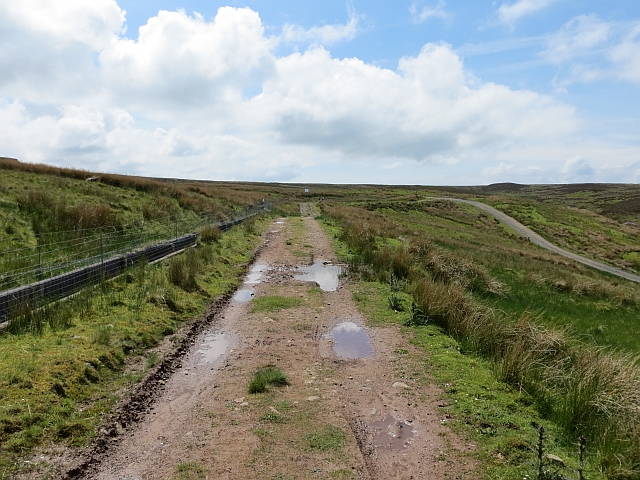
The downs of Blood Moss are characterized by their rolling hills and expansive grasslands, offering breathtaking panoramic views of the surrounding countryside. This area is home to a variety of flora and fauna, including wildflowers, heather, and grasses, which create a vibrant and colorful tapestry during the summer months. The downs provide an ideal habitat for numerous bird species, such as skylarks, meadow pipits, and stonechats, making it a paradise for birdwatchers.
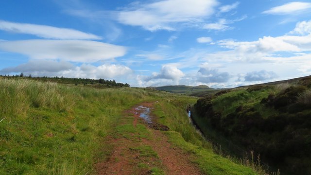
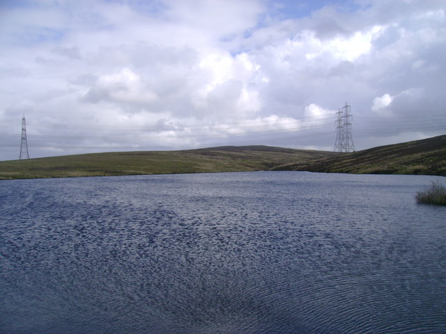
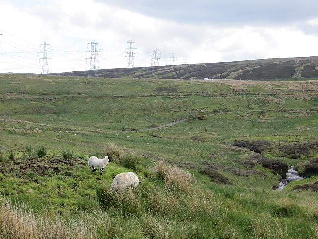
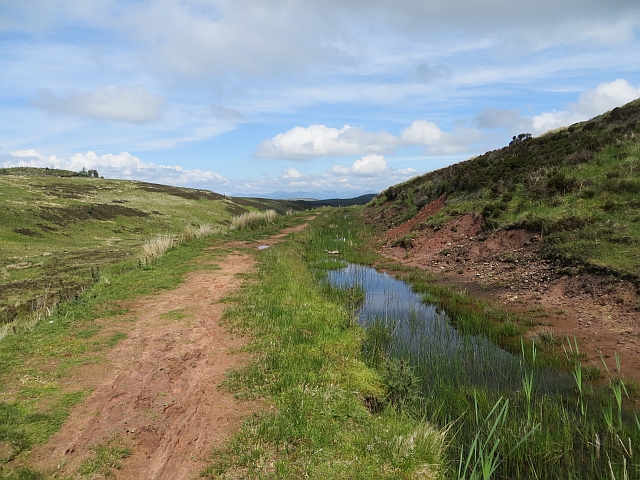
Adjacent to the downs, the moorland of Blood Moss is a unique ecosystem with its own distinct features. The moors are characterized by their wetland areas, dotted with peat bogs and small lochs. These wetlands are home to a variety of plant species, including sphagnum moss, cotton grass, and bog myrtle. The moorland is also inhabited by a range of wildlife, including red deer, mountain hares, and various bird species such as curlews and golden plovers.
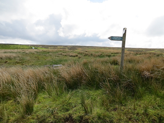
The Blood Moss area is a designated Site of Special Scientific Interest (SSSI), recognizing its ecological importance and the need for its conservation. Visitors to Blood Moss can explore the area along various walking trails and enjoy the tranquility and natural beauty it offers. Whether it's observing the diverse birdlife, admiring the blooming wildflowers, or simply taking in the breathtaking views, Blood Moss is a destination that showcases the raw beauty of Scotland's natural landscape.
If you have any feedback on the listing, please let us know in the comments section below.
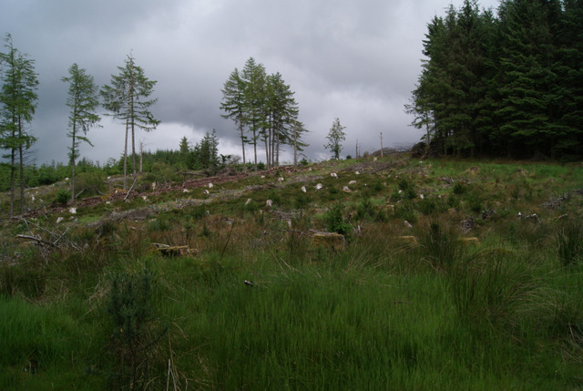
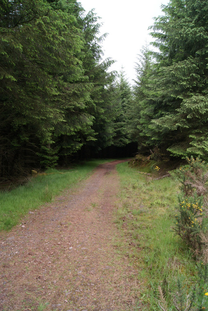
Blood Moss Images
Images are sourced within 2km of 55.884069/-4.852965 or Grid Reference NS2169. Thanks to Geograph Open Source API. All images are credited.


Blood Moss is located at Grid Ref: NS2169 (Lat: 55.884069, Lng: -4.852965)
Unitary Authority: Inverclyde
Police Authority: Renfrewshire and Inverclyde
What 3 Words
///sensitive.servants.wardrobe. Near Wemyss Bay, Inverclyde
Nearby Locations
Related Wikis

Wemyss Bay
Wemyss Bay ( ) is a village on the coast of the Firth of Clyde in Inverclyde in the west central Lowlands of Scotland. It is in the traditional county...

Skelmorlie
Skelmorlie is a village in North Ayrshire in the southwest of Scotland. Although it is the northernmost settlement in the council area of North Ayrshire...

Wemyss Bay railway station
Wemyss Bay railway station serves the village of Wemyss Bay, Inverclyde, Scotland. The station is a terminus on the Inverclyde Line, about 26 miles (42...

Inverkip power station
Inverkip power station was an oil-fired power station in Inverclyde, on the west coast of Scotland. It was closer to Wemyss Bay than Inverkip, and dominated...

Inverkip railway station
Inverkip railway station is a railway station serving the village of Inverkip, Inverclyde, Scotland. The station is managed by ScotRail and is on the Inverclyde...

Inverkip
Inverkip (; Scottish Gaelic: Inbhir Chip) is a village and parish in the Inverclyde council area and historic county of Renfrewshire in the west central...

Castle Wemyss
Castle Wemyss was a large mansion in Wemyss Bay, Scotland. It stood on the southern shore of the Firth of Clyde at Wemyss Point, where the firth turns...
Kip Water, Inverclyde
Kip Water, also known as the River Kip, is a short river in Inverclyde, Scotland which gives the village of Inverkip its name (Inverkip = mouth of the...
Nearby Amenities
Located within 500m of 55.884069,-4.852965Have you been to Blood Moss?
Leave your review of Blood Moss below (or comments, questions and feedback).