Blackhouse Moor
Downs, Moorland in Ayrshire
Scotland
Blackhouse Moor

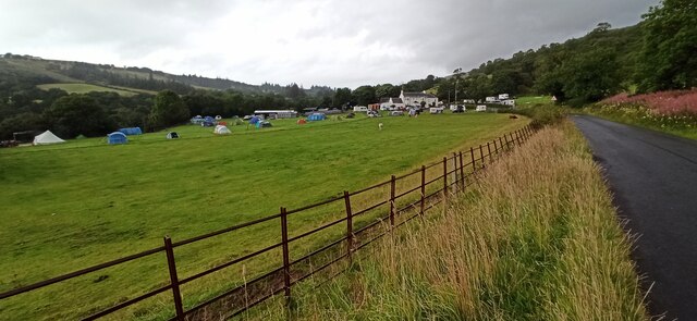
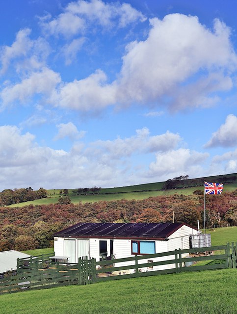
Blackhouse Moor is a picturesque moorland located in Ayrshire, Scotland. Spanning over a vast area, it is known for its distinctive and breathtaking landscape, characterized by rolling hills, open grasslands, and scattered patches of heather. The moorland is situated in the southern part of Ayrshire, near the village of Crosshill.
The terrain of Blackhouse Moor is predominantly composed of peat, which gives the landscape its characteristic dark color. The moorland is rich in plant diversity, with various species of heather, mosses, and grasses covering the ground. This creates a vibrant and colorful display, particularly during the summer months when the heather blooms in shades of purple and pink.
The moorland is also home to a variety of wildlife, including many species of birds, such as curlews, lapwings, and red grouse. Visitors to Blackhouse Moor may have the opportunity to spot these birds in their natural habitat, adding to the area's charm and appeal.
Furthermore, Blackhouse Moor offers visitors a chance to explore and immerse themselves in the serene and tranquil surroundings. There are several walking trails that crisscross the moorland, providing opportunities for leisurely strolls or more adventurous hikes. These trails offer breathtaking views of the surrounding countryside and provide an excellent vantage point to appreciate the natural beauty of the area.
In conclusion, Blackhouse Moor is a captivating moorland in Ayrshire, Scotland, known for its stunning landscape, rich biodiversity, and peaceful atmosphere. It is a haven for nature enthusiasts and offers a unique opportunity to experience the beauty of the Scottish countryside.
If you have any feedback on the listing, please let us know in the comments section below.
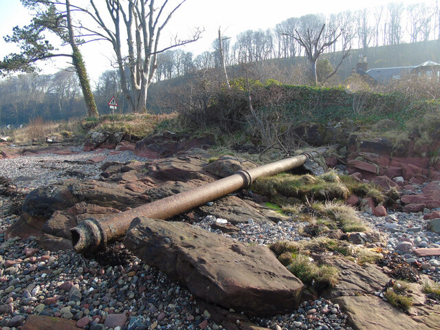
Blackhouse Moor Images
Images are sourced within 2km of 55.838595/-4.8614045 or Grid Reference NS2064. Thanks to Geograph Open Source API. All images are credited.


Blackhouse Moor is located at Grid Ref: NS2064 (Lat: 55.838595, Lng: -4.8614045)
Unitary Authority: North Ayrshire
Police Authority: Ayrshire
What 3 Words
///departure.rules.boomed. Near Skelmorlie, North Ayrshire
Nearby Locations
Related Wikis
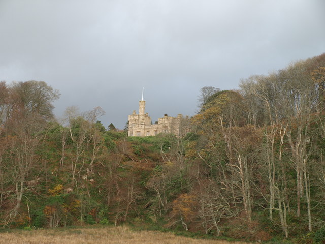
Knock Castle, Largs
Knock Castle is a private residence on the outskirts of Largs, on the west coast of Scotland. It was built by the boat-building Steele family in 1851...

Meigle, North Ayrshire
Meigle or Meagle is a hamlet on the Meigle Burn in North Ayrshire, Parish of Largs, Scotland. The settlement lies close to the road to Greenock and is...
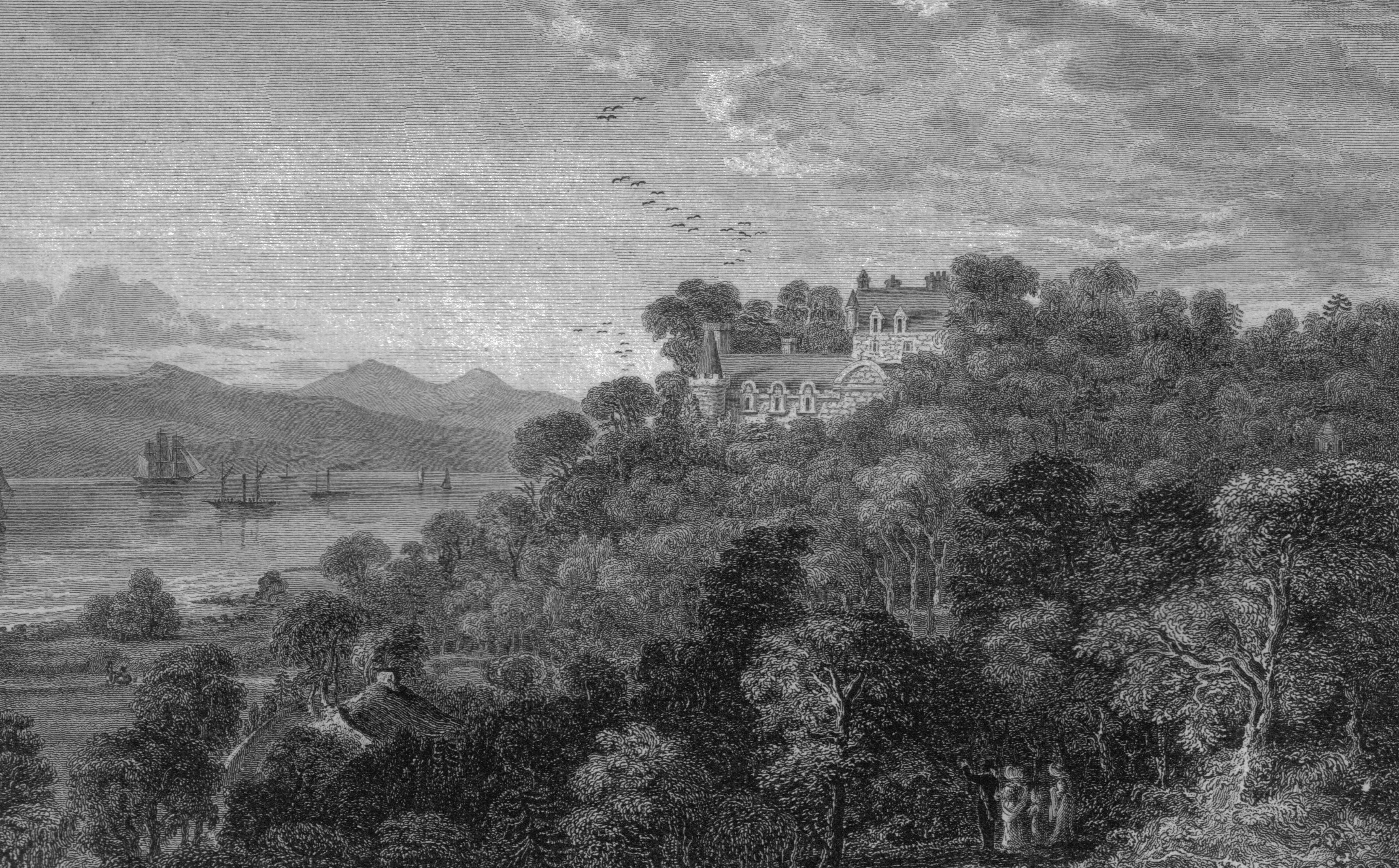
Skelmorlie Castle
Skelmorlie Castle stands on the eastern shore of the Firth of Clyde, Scotland, at the north-western corner of the county of Ayrshire. The structure dates...

Danefield House, Largs
Danefield House, Largs, North Ayrshire, Scotland, is a late 19th-century villa designed for William Crum by John Douglas. Douglas's only house in Scotland...
Have you been to Blackhouse Moor?
Leave your review of Blackhouse Moor below (or comments, questions and feedback).