Catshole Downs

Downs, Moorland in Cornwall

England

Catshole Downs

Dam at High Moor Dam built to serve tin streamworks near Leskernick (Scale 2m).
Dam at High Moor Credit: Sandy Gerrard

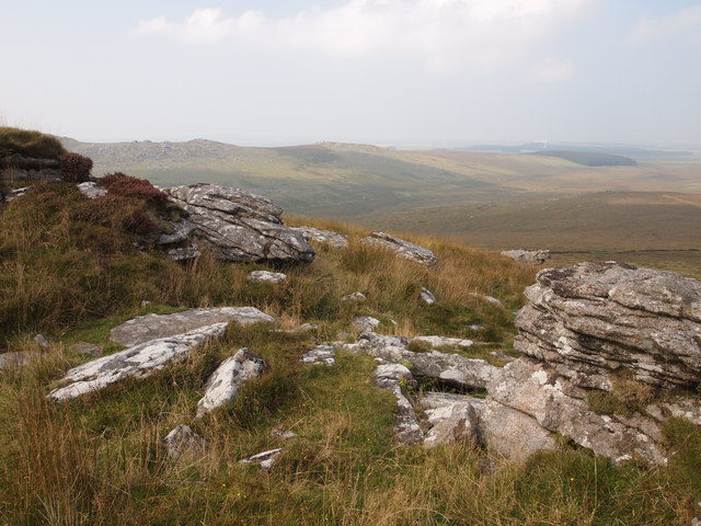
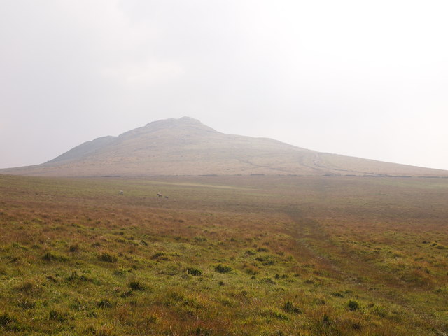
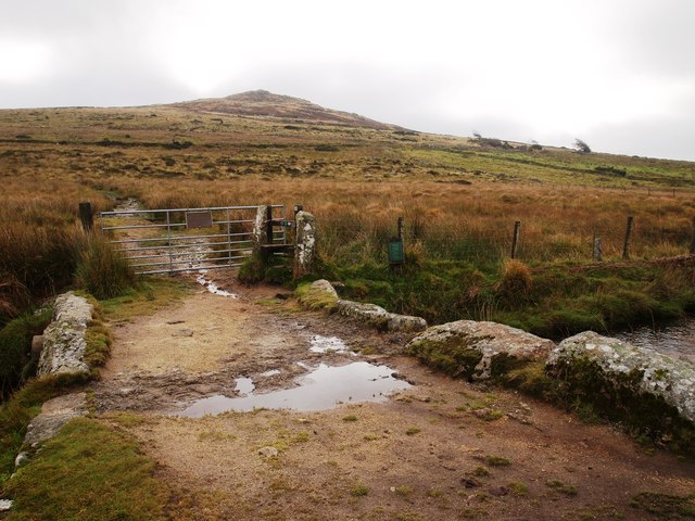
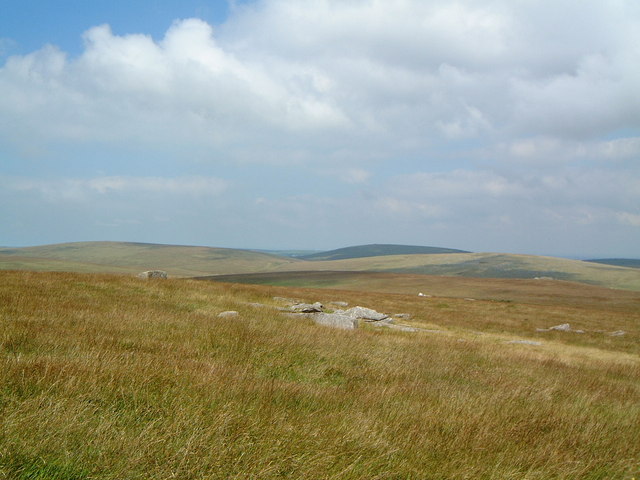
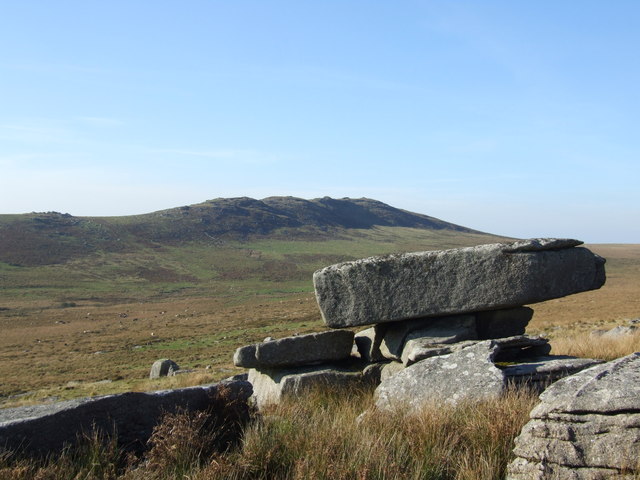
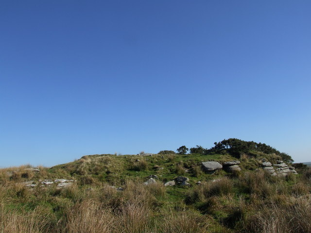
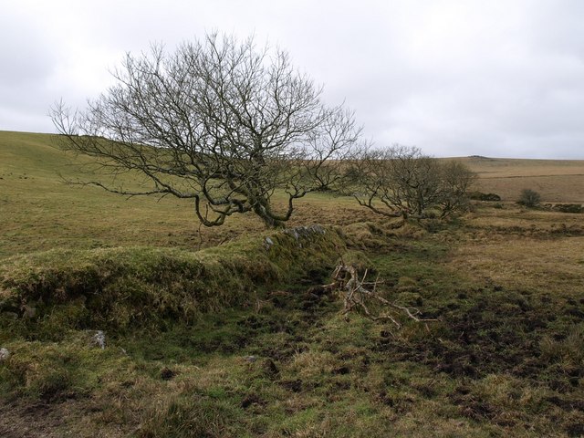
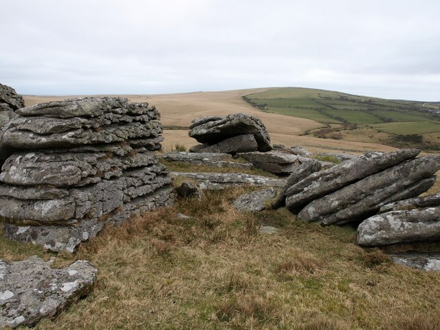
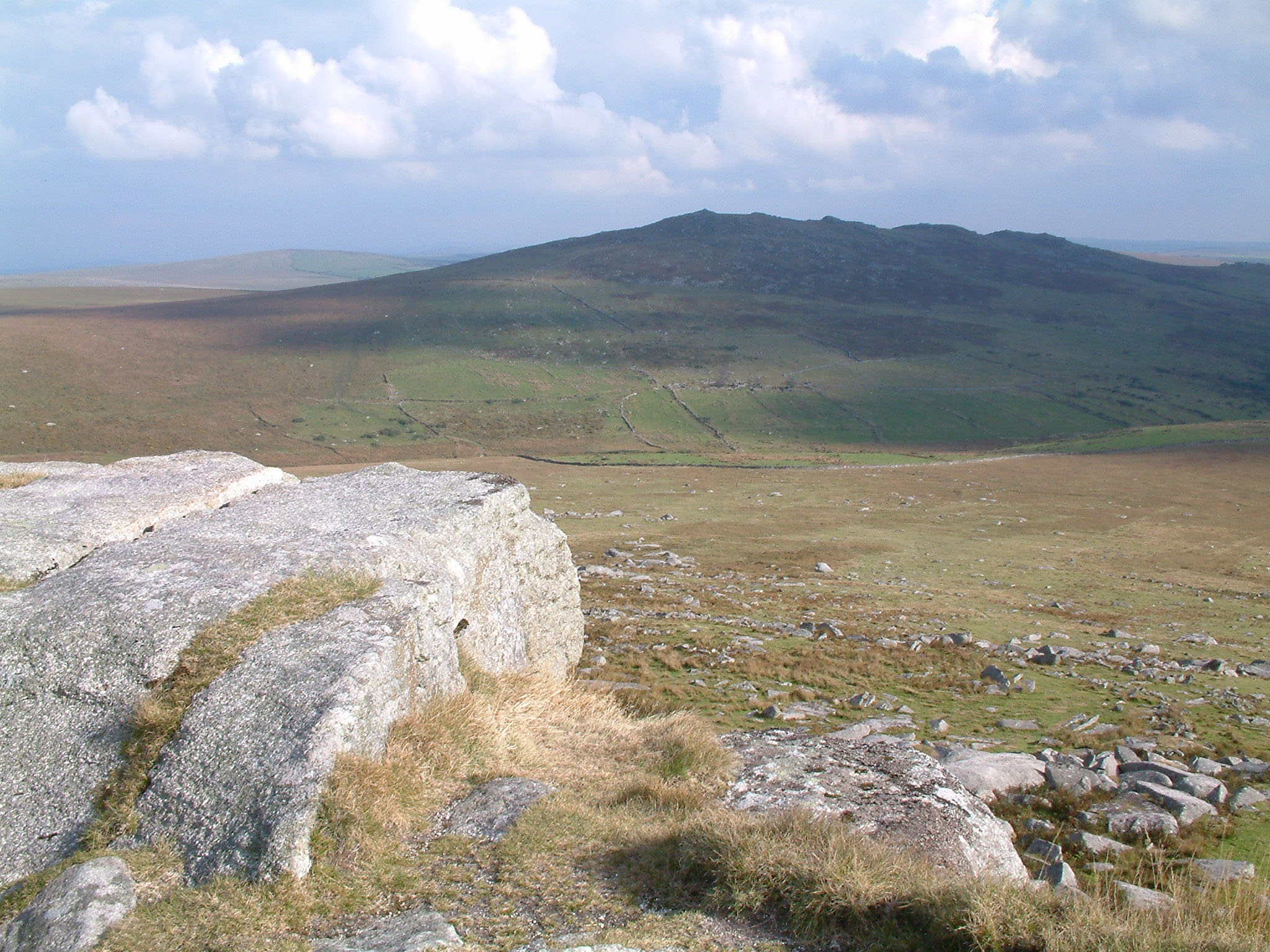
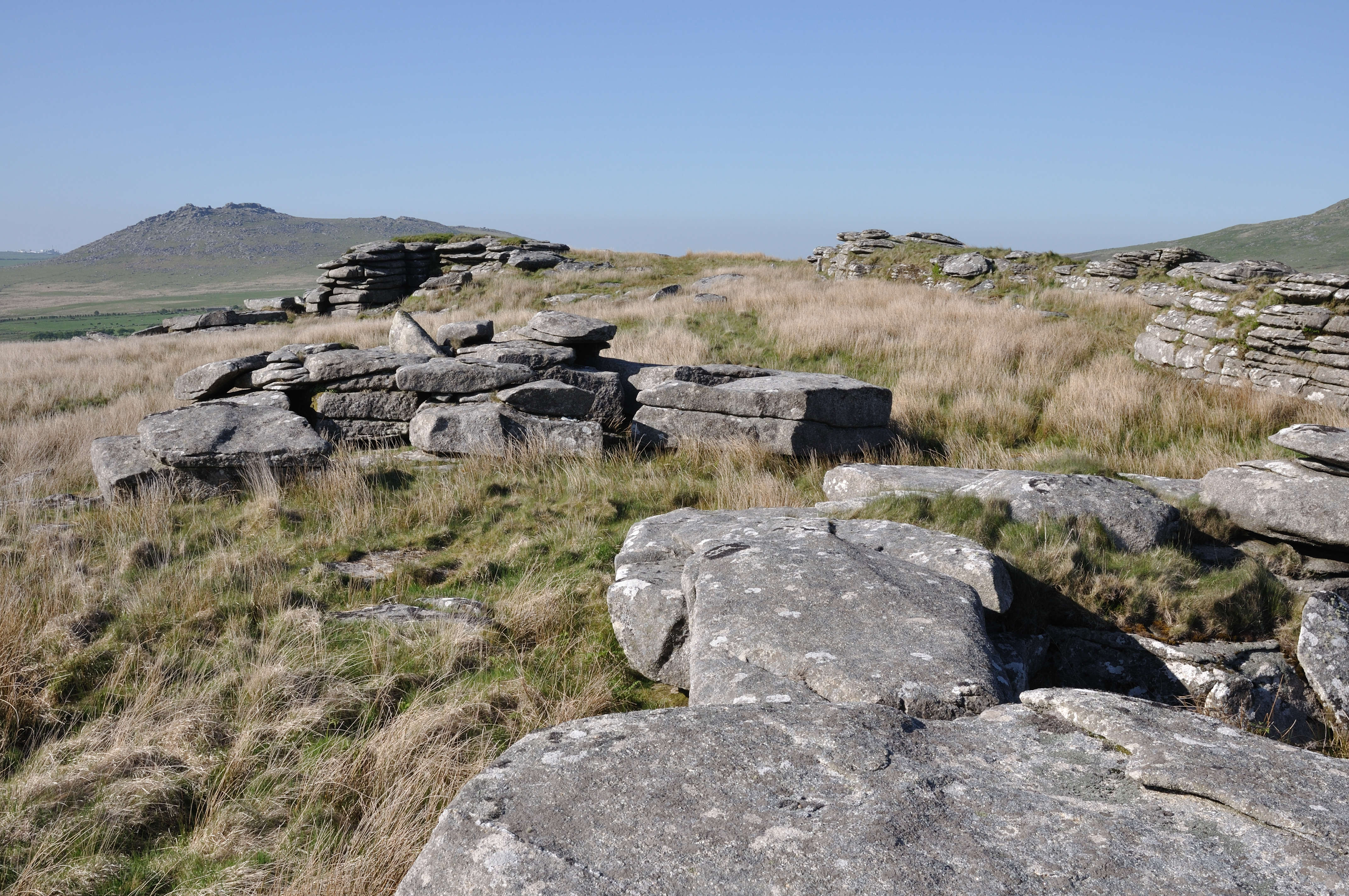
Catshole Downs is a picturesque area located in Cornwall, England. It is a part of the larger Bodmin Moor, a granite moorland known for its rugged beauty and rich history. The downs cover a vast expanse of approximately 1,000 acres and are characterized by rolling hills, heather-covered moorland, and scattered ancient monuments.

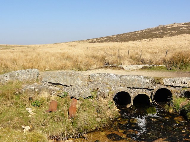
The landscape of Catshole Downs is a mix of open grasslands, marshes, and rocky outcrops. The area is home to a diverse range of flora and fauna, including rare species of plants like the Cornish eyebright and the heath lobelia. It also provides a habitat for a variety of bird species, such as the golden plover and the buzzard.

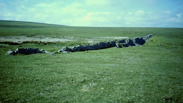
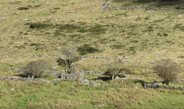
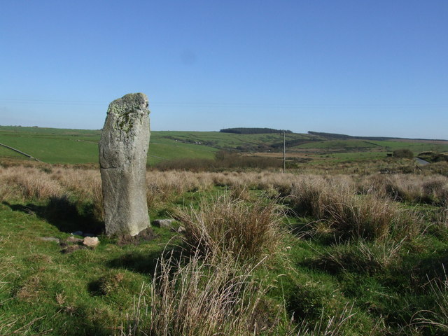
The downs are dotted with prehistoric monuments, adding to their historical significance. One notable ancient site is the Catshole stone circle, a Bronze Age monument consisting of a ring of standing stones. It is believed to have been used for rituals and ceremonies by the early inhabitants of the region.

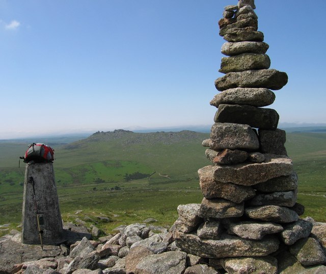
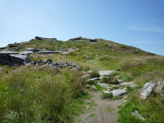
Catshole Downs is a popular destination for outdoor enthusiasts and nature lovers. Its open space and stunning views make it an ideal location for walking, hiking, and birdwatching. The area is crisscrossed by numerous footpaths and trails, allowing visitors to explore its beauty at their own pace.

With its natural beauty and historical significance, Catshole Downs is a must-visit destination for those seeking to immerse themselves in the stunning landscapes and ancient history of Cornwall.

If you have any feedback on the listing, please let us know in the comments section below.

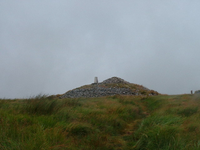
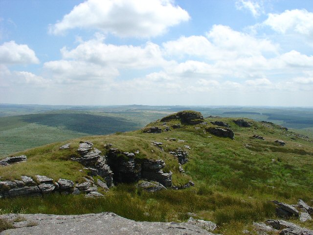
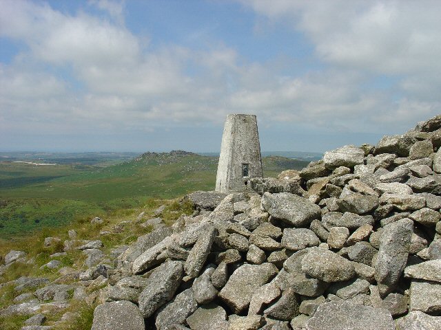
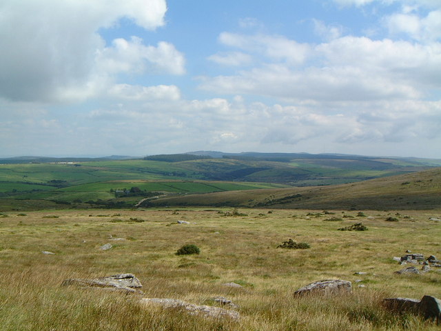
Catshole Downs Images

Images are sourced within 2km of 50.582257/-4.5924812 or Grid Reference SX1679. Thanks to Geograph Open Source API. All images are credited.

Dam at High Moor Dam built to serve tin streamworks near Leskernick (Scale 2m).
Dam at High Moor
Dam built to serve tin streamworks near Leskernick (Scale 2m).
Bridge Over The De Lank River If you are walking between Rough Tor and Brown Willy, this is the way across the valley bottom between the two.
Bridge Over The De Lank River
If you are walking between Rough Tor and Brown Willy, this is the way across the valley bottom between the two.
Brown Willy View Across To Rough Tor Cornwall (1974) administrative county top, Cornwall historic county top and Cornwall current county/UA top.
Name: Brown Willy
Hill number: 2881
Height: 420m / 1378ft
Area: 40: Cornwall & Devon
Class: Ma,CoH,CoU,CoA
Grid ref: SX 15873 80004
Summit feature: trig point and cairn
Drop: 314m
Col: 106m  SS268015
Brown Willy View Across To Rough Tor
Cornwall (1974) administrative county top, Cornwall historic county top and Cornwall current county/UA top. Name: Brown Willy Hill number: 2881 Height: 420m / 1378ft Area: 40: Cornwall & Devon Class: Ma,CoH,CoU,CoA Grid ref: SX 15873 80004 Summit feature: trig point and cairn Drop: 314m Col: 106m SS268015
Path to the summit of Brown Willy The section of the path in SX1580, leading up to the summit. The trig point, visible in this photo, appears to be just within the next square to the south.
Path to the summit of Brown Willy
The section of the path in SX1580, leading up to the summit. The trig point, visible in this photo, appears to be just within the next square to the south.
Northern Ridge, Brown Willy
High Moor
High Moor
Slades Long House Part of a larger Medieval settlement and field system that straddles the De Lank river valley.
Slades Long House
Part of a larger Medieval settlement and field system that straddles the De Lank river valley.
Ascending Brown Willy From The De Lank River
Summit cairn on Brown Willy Highest hill in Cornwall  (420m)
Summit cairn on Brown Willy
Highest hill in Cornwall (420m)
Brown Willy Summit Ridge, Bodmin Moor, Cornwall Brown Willy has a ridge on its summit starting at SX158800 and running S to SX159796. The highest point is at a cairn on the N end (with associated triangulation pillar). This view is taken from near the summit cairn looking S.
Brown Willy Summit Ridge, Bodmin Moor, Cornwall
Brown Willy has a ridge on its summit starting at SX158800 and running S to SX159796. The highest point is at a cairn on the N end (with associated triangulation pillar). This view is taken from near the summit cairn looking S.
Summit of Brown Willy, Bodmin Moor, Cornwall The summit of this highest point on Bodmin Moor is right on the edge of the grid square, at SX158800. There is a cairn and a triangulation point at the summit. The view here is of the trig point looking NW towards Rough Tor.
Summit of Brown Willy, Bodmin Moor, Cornwall
The summit of this highest point on Bodmin Moor is right on the edge of the grid square, at SX158800. There is a cairn and a triangulation point at the summit. The view here is of the trig point looking NW towards Rough Tor.
Looking towards Codda Ford from Catshole Tor We were crossing Catshole Tor while returning from Brown Willy, when I took this picture looking towards our car at Codda. Codda Ford is at the bottom of the hill, the road in the centre leads back to Bolventor.
Looking towards Codda Ford from Catshole Tor
We were crossing Catshole Tor while returning from Brown Willy, when I took this picture looking towards our car at Codda. Codda Ford is at the bottom of the hill, the road in the centre leads back to Bolventor.
Catshole Tor Looking North The foreground rocks are on the eastern slope of Catshole Tor. On the right, about 1 mile away is the top of Codda Tor. The dark hill in the background is Bray Down.
Catshole Tor Looking North
The foreground rocks are on the eastern slope of Catshole Tor. On the right, about 1 mile away is the top of Codda Tor. The dark hill in the background is Bray Down.
Rock formation on Catshole Tor Looking towards Brown Willy, there is a suggestion that this rock formation is man-made.
Rock formation on Catshole Tor
Looking towards Brown Willy, there is a suggestion that this rock formation is man-made.
Tolborough Tor A burial cairn sits atop of Tolborough Tor, partly manmade but using the natural rock feature on the righthand side.
Tolborough Tor
A burial cairn sits atop of Tolborough Tor, partly manmade but using the natural rock feature on the righthand side.
Standing Stone May not be as old as it looks...suggestions say this stone is a modern addition to the landscape.
Standing Stone
May not be as old as it looks...suggestions say this stone is a modern addition to the landscape.
Field boundary near Trevendick This walled bank leads away towards the River Fowey from the junction of two bridleways just north of <a href="https://www.geograph.org.uk/photo/699861">SX1878 : Trevendick</a>. In the distance is Codda Tor.
Field boundary near Trevendick
This walled bank leads away towards the River Fowey from the junction of two bridleways just north of SX1878 : Trevendick. In the distance is Codda Tor.
Codda Tor Unnatural-looking straight edges on this isolated tor on Codda Down. The land dips away to the Fowey valley in SX1879. The hill in the distance is The Beacon in SX1979.
Codda Tor
Unnatural-looking straight edges on this isolated tor on Codda Down. The land dips away to the Fowey valley in SX1879. The hill in the distance is The Beacon in SX1979.
Show me another place!

Catshole Downs is located at Grid Ref: SX1679 (Lat: 50.582257, Lng: -4.5924812)

Unitary Authority: Cornwall

Police Authority: Devon and Cornwall

What 3 Words

///vast.soldiers.crucially. Near Camelford, Cornwall

Nearby Locations

Catshole Downs

Related Wikis

Brown Willy

Brown Willy (possibly from Cornish Bronn Wennili meaning "hill of swallows" or from Cornish Bronn Ewhella meaning "highest hill") is a hill in Cornwall...

Garrow Tor

Garrow Tor is a bare, tor-crowned hill, 330 metres (1,080 ft) high, located on Garrow Downs in the northwest of Bodmin Moor in the county of Cornwall,...

Fernacre

Fernacre (grid reference SX14477997), also known as Fernacre stone circle or Fernacre circle, is a stone circle located on the slopes of the De Lank River...
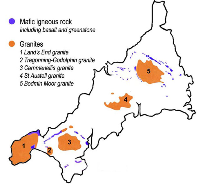
Bodmin Moor

Bodmin Moor (Cornish Standard Written Form: Goon Brenn) is a granite moorland in north-eastern Cornwall, England, United Kingdom. It is 208 square kilometres...

Nearby Amenities

Located within 500m of 50.582257,-4.5924812
tumulus
Historic: archaeological_site
Source: NPE
Lat/Long: 50.5780336/-4.590915
The data included in this document is from www.openstreetmap.org. The data is made available under ODbL.

Have you been to Catshole Downs?

Leave your review of Catshole Downs below (or comments, questions and feedback).