Redhill Downs

Downs, Moorland in Cornwall

England

Redhill Downs

Colliford Lake Taken from the alternative technology centre at Dewymeads Farm, looking south.
Colliford Lake Credit: Kevin Danks

Redhill Downs, located in Cornwall, is a picturesque area renowned for its stunning natural beauty and diverse wildlife. This expansive expanse of moorland covers an area of approximately 1,500 acres and is situated in the eastern part of the county. The Downs are characterized by rolling hills, heather-clad slopes, and scattered granite outcrops, creating a unique and enchanting landscape.

The Moorland is home to a rich variety of flora and fauna, including rare species such as the Cornish chough, which has found sanctuary in the area. Walking through Redhill Downs, visitors can observe vibrant wildflowers, including heather, gorse, and various types of orchids, adding bursts of color to the landscape.

Redhill Downs also boasts a diverse range of wildlife. Birdwatchers can spot buzzards, kestrels, and skylarks soaring above the moorland, while rabbits, foxes, and badgers can be spotted amongst the grassy slopes. The area is also known for its reptiles, with adders and common lizards often seen basking in the sunlight.

For nature enthusiasts, Redhill Downs offers numerous walking trails and footpaths, allowing visitors to explore the area at their own pace. The views from the highest points of the Downs are breathtaking, providing panoramic vistas of the surrounding countryside and the coastline in the distance.

Overall, Redhill Downs is a haven of natural beauty and tranquility, offering visitors a chance to immerse themselves in the stunning landscapes of Cornwall. Whether it's exploring the diverse wildlife or enjoying a leisurely walk, this moorland is a must-visit destination for nature lovers.

If you have any feedback on the listing, please let us know in the comments section below.

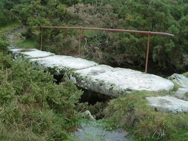
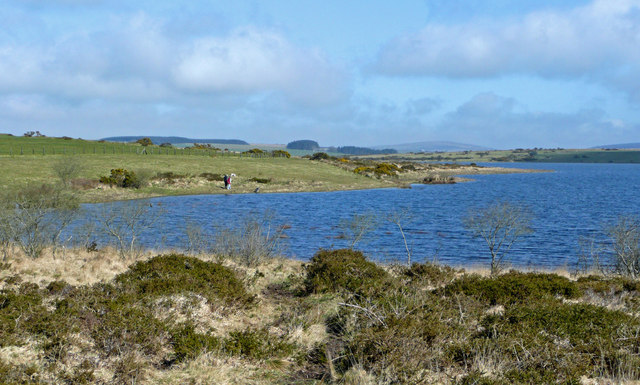
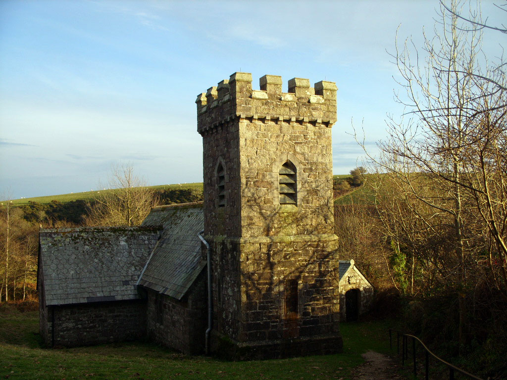
Redhill Downs Images

Images are sourced within 2km of 50.517662/-4.5906597 or Grid Reference SX1671. Thanks to Geograph Open Source API. All images are credited.

Colliford Lake Taken from the alternative technology centre at Dewymeads Farm, looking south.
Colliford Lake
Taken from the alternative technology centre at Dewymeads Farm, looking south.
Colliford Lake NW end on Bodmin Moor
Unidentified earthwork Marked on OS map, this circular earth bank is a mystery to all. It is also very hard to find.
Unidentified earthwork
Marked on OS map, this circular earth bank is a mystery to all. It is also very hard to find.
Redhill Downs One of the many small patches of open access land around Bodmin Moor, bordering Colliford Lake (a reservoir not marked on the 1940s maps). Looks heavily grazed, in contrast to some other areas visited.
Redhill Downs
One of the many small patches of open access land around Bodmin Moor, bordering Colliford Lake (a reservoir not marked on the 1940s maps). Looks heavily grazed, in contrast to some other areas visited.
Sheep field With a very old stone wall.
Sheep field
With a very old stone wall.
Track to Higher Dewey One of the farmed areas without open access, but a bridleway follows the track.
Track to Higher Dewey
One of the farmed areas without open access, but a bridleway follows the track.
Warleggan Down Looking towards Tor House
Warleggan Down
Looking towards Tor House
Glynn Valley Works, Cardinham Moor Remains of separation pits in the china clay works with waste tips in background
Glynn Valley Works, Cardinham Moor
Remains of separation pits in the china clay works with waste tips in background
Submerged Hedge A dry summer revealed this row of trees normally partly submerged by Colliford Reservoir.
Submerged Hedge
A dry summer revealed this row of trees normally partly submerged by Colliford Reservoir.
Old Workhorse Abandoned Morris Minor van, one of several in nearby woodland
Old Workhorse
Abandoned Morris Minor van, one of several in nearby woodland
Old Bridge Little used footpath goes over bridge before its way is blocked by hedges and walls
Old Bridge
Little used footpath goes over bridge before its way is blocked by hedges and walls
Colliford Lake and Meadows Downs The reservoir has an irregular shape, with Meadows Downs forming a lengthy promontory nearly 2 kilometres long between two drowned valleys. Seen here from the road crossing access land on Bunning's Park as it runs along the eastern side of the lake.
Colliford Lake and Meadows Downs
The reservoir has an irregular shape, with Meadows Downs forming a lengthy promontory nearly 2 kilometres long between two drowned valleys. Seen here from the road crossing access land on Bunning's Park as it runs along the eastern side of the lake.
South end of Colliford Lake Some folks are walking their dog by the shore on this fine spring morning.
South end of Colliford Lake
Some folks are walking their dog by the shore on this fine spring morning.
Conifer shelterbelt These trees stand to the west of the Colliford Lake Park.
Conifer shelterbelt
These trees stand to the west of the Colliford Lake Park.
Colliford Lake on Bodmin Moor
Colliford dam Looking eastwards from the car park shortly after construction in 1983. Colliford supplies parts of North and South East Cornwall directly. It also makes releases to the River Fowey system which are abstracted and treated at Restormel and distributed throughout much of the rest of Cornwall.
Colliford dam
Looking eastwards from the car park shortly after construction in 1983. Colliford supplies parts of North and South East Cornwall directly. It also makes releases to the River Fowey system which are abstracted and treated at Restormel and distributed throughout much of the rest of Cornwall.
Colliford Lake Looking eastwards from Redhill Downs. This picture shows the lake filling for the first time after its construction in 1983.
Colliford Lake
Looking eastwards from Redhill Downs. This picture shows the lake filling for the first time after its construction in 1983.
Colliford Lake - 2 Looking northwards from the car park.
Colliford Lake - 2
Looking northwards from the car park.
Show me another place!

Redhill Downs is located at Grid Ref: SX1671 (Lat: 50.517662, Lng: -4.5906597)

Unitary Authority: Cornwall

Police Authority: Devon and Cornwall

What 3 Words

///vessel.coder.scatter. Near Dobwalls, Cornwall

Nearby Locations

Redhill Downs

Related Wikis

Cornwall Area of Outstanding Natural Beauty

The Cornwall Area of Outstanding Natural Beauty covers 958 square kilometres (370 sq mi) in Cornwall, England, UK; that is, about 27% of the total area...

Colliford Lake

Colliford Lake is a reservoir on Bodmin Moor, Cornwall, England, United Kingdom. Covering more than 900 acres (3.6 km2), it is the largest lake in Cornwall...

Temple, Cornwall

Temple (Cornish: Tempel) is a small village and former civil parish, now in the parish of Blisland, on Bodmin Moor, in the Cornwall district, in the ceremonial...

Warleggan

Warleggan or Warleggon (Cornish: Gorlegan) is a civil parish on the southern edge of Bodmin Moor in Cornwall, England, United Kingdom. The parish is roughly...

Brown Gelly

Brown Gelly (Cornish: Bronn Geliow) is a tor, hill and ridge near Dozmary Pool on Bodmin Moor near Liskeard in Cornwall, UK.At its foot lies Browngelly...

Pantersbridge

Pantersbridge (Cornish: Pons Yesu, meaning Jesus Bridge)is a hamlet in the parish of St Neot, Cornwall, England, UK. It is about one mile south of Warleggan...

Stripple stones

The Stripple stones (or Stripple stones circle) is a henge and stone circle located on the south slope of Hawk's Tor, Blisland, 10 kilometres (6.2 mi)...

Dozmary Pool

Dozmary Pool is a small lake, in the civil parish of Altarnun on Bodmin Moor, Cornwall, UK. It is situated 16.9 kilometres (10.5 mi) from the sea and lies...

Nearby Amenities

Located within 500m of 50.517662,-4.5906597
Barrier: cattle_grid
Lat/Long: 50.5170448/-4.5906266
The data included in this document is from www.openstreetmap.org. The data is made available under ODbL.

Have you been to Redhill Downs?

Leave your review of Redhill Downs below (or comments, questions and feedback).