Coigach
Downs, Moorland in Cromartyshire
Scotland
Coigach

Coigach is a picturesque region located in the county of Cromartyshire, Scotland. Situated amidst the stunning landscape of the Downs and Moorland, this area is renowned for its natural beauty and tranquil atmosphere.
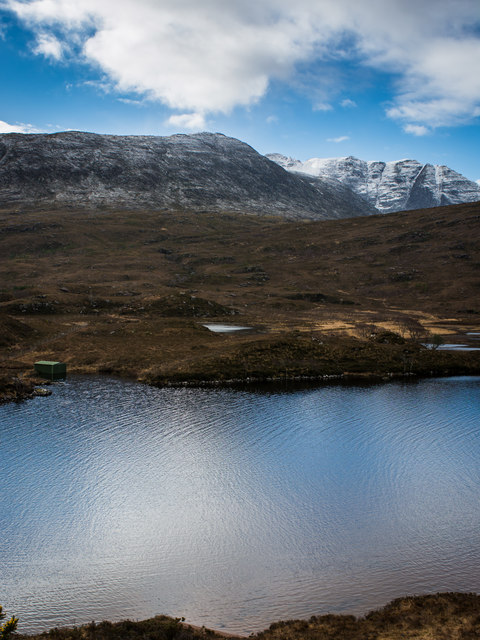
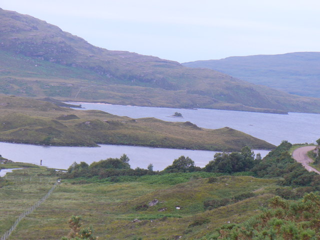
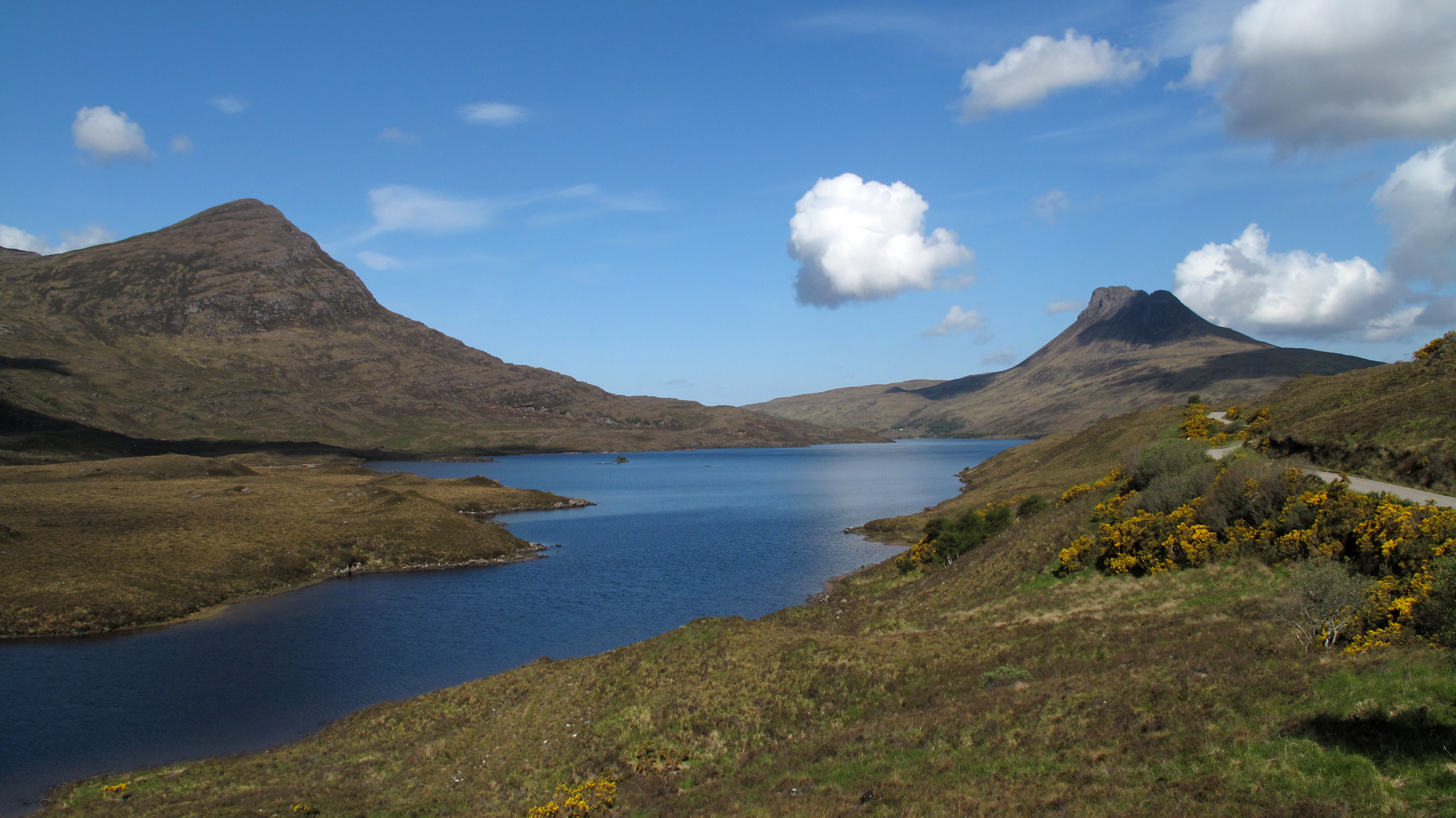
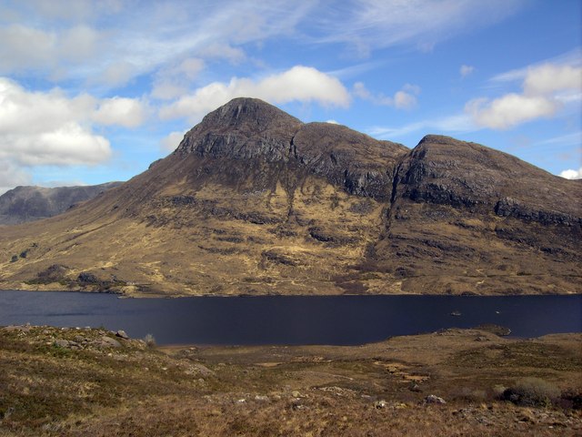
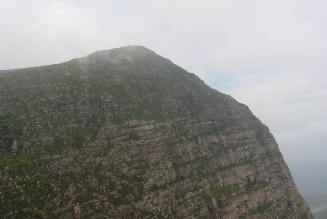
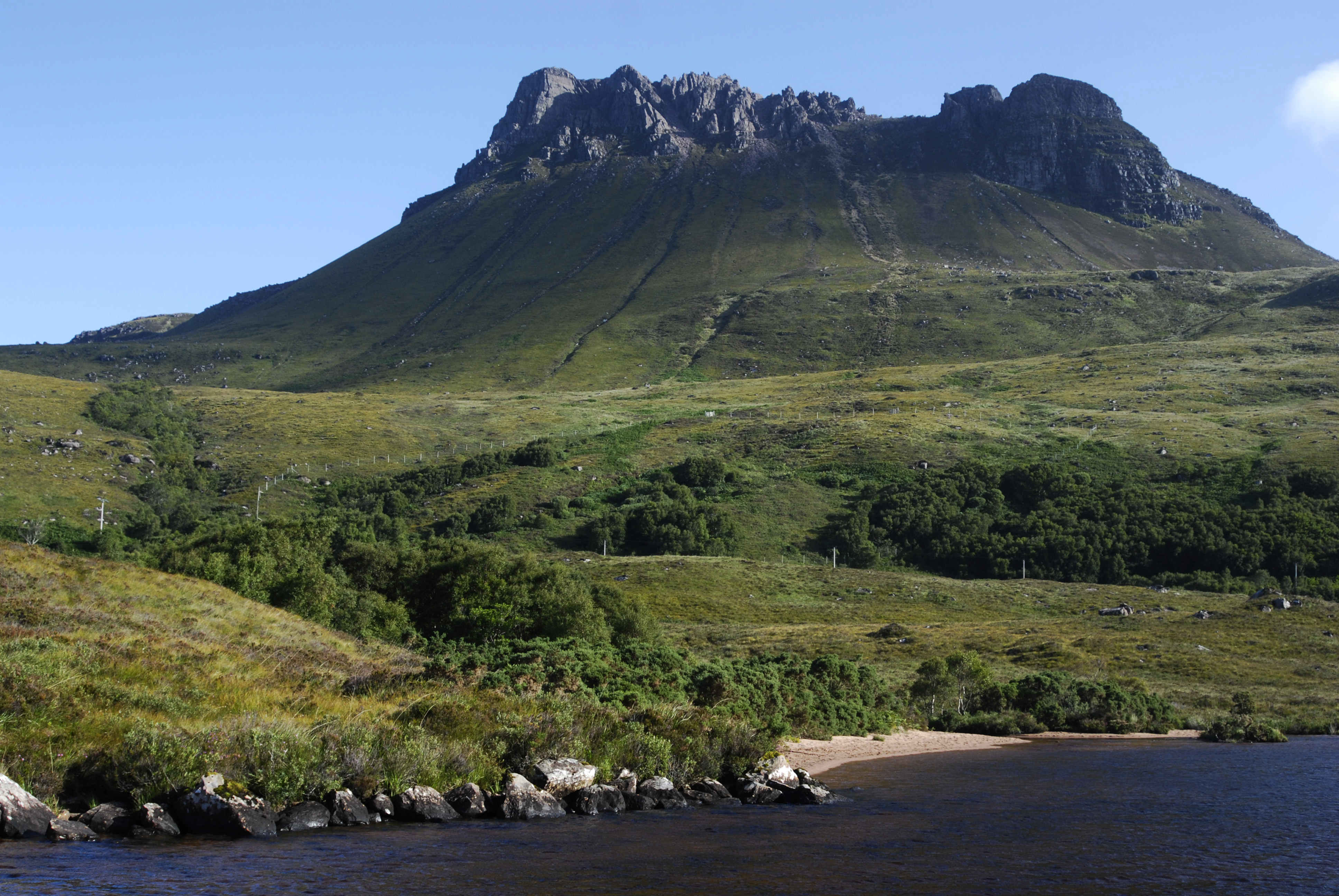
Coigach is characterized by its rolling hills, rugged mountains, and vast stretches of heather-covered moorland. The landscape offers breathtaking views, with the hills providing a dramatic backdrop to the nearby coast. The area also boasts a number of sparkling lochs and rivers, adding to its charm.
This region is a haven for outdoor enthusiasts, with ample opportunities for hiking, mountain biking, and fishing. The Coigach Loop is a popular trail that takes visitors on a scenic journey through the hills and valleys, offering glimpses of the rich biodiversity that thrives in the area. The surrounding moorland is home to a variety of wildlife, including red deer, mountain hares, and numerous bird species, making it an ideal destination for nature lovers and birdwatchers.
Coigach is also steeped in history, with traces of its ancient past evident through the numerous archaeological sites scattered across the region. Standing stones, burial cairns, and Iron Age settlements provide fascinating insights into the area's heritage.
Despite its rural location, Coigach is well-connected to nearby towns and villages, ensuring that visitors have access to essential amenities and services. The region also offers a range of accommodation options, including quaint bed and breakfasts and self-catering cottages, allowing visitors to fully immerse themselves in the tranquility of this idyllic Scottish landscape.
If you have any feedback on the listing, please let us know in the comments section below.
Coigach Images
Images are sourced within 2km of 58.006678/-5.1621501 or Grid Reference NC1306. Thanks to Geograph Open Source API. All images are credited.


Coigach is located at Grid Ref: NC1306 (Lat: 58.006678, Lng: -5.1621501)
Unitary Authority: Highland
Police Authority: Highlands and Islands
What 3 Words
///lived.prospers.animal. Near Ullapool, Highland
Nearby Locations
Related Wikis
Loch Lurgainn
Loch Lurgainn is a large remote and deep freshwater loch with a crescent shape with its concave side turned to the south. It is located in the Coigach...
Cùl Beag
Cùl Beag is a mountain in Coigach, in the Northwest Highlands of Scotland. It is 15 km north of Ullapool and lies to the south of Cùl Mòr, and to the east...

Beinn an Eoin (Coigach)
Beinn an Eoin (619 m) is a mountain in the Northwest Highlands of Scotland. It lies in the remote Coigach area in the far northwest of Scotland, north...
Sgurr an Fhidhleir
Sgurr an Fhidhleir (705 m) is a mountain in the Northwest Highlands of Scotland. It lies in the Coigach area of Ross and Cromarty. Its summit lies atop...

Ben Mor Coigach
Ben Mor Coigach (Scottish Gaelic: Beinn Mhòr na Còigich) is the highest point along a ridge rising steeply from Loch Broom, in the far north-west of Scotland...

Loch an Doire Dhuibh
Loch an Doire Dhuibh is a small irregular shaped freshwater loch, situated on a north-east to south-west orientation in northern Wester Ross and located...

Strathkanaird
Strathkanaird (also Strathcanaird) (Scottish Gaelic: Srath Chainneart) is a remote crofting township around seven miles north of Ullapool, in western Ross...
Stac Pollaidh
Stac Pollaidh (Scottish Gaelic pronunciation: [ˈs̪t̪ʰaʰkˈpʰɔɫ̪ai]) is a mountain in the Northwest Highlands of Scotland. The peak displays a rocky crest...
Have you been to Coigach?
Leave your review of Coigach below (or comments, questions and feedback).