Moss of Ullapool
Downs, Moorland in Cromartyshire
Scotland
Moss of Ullapool

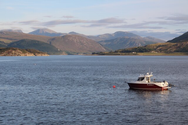
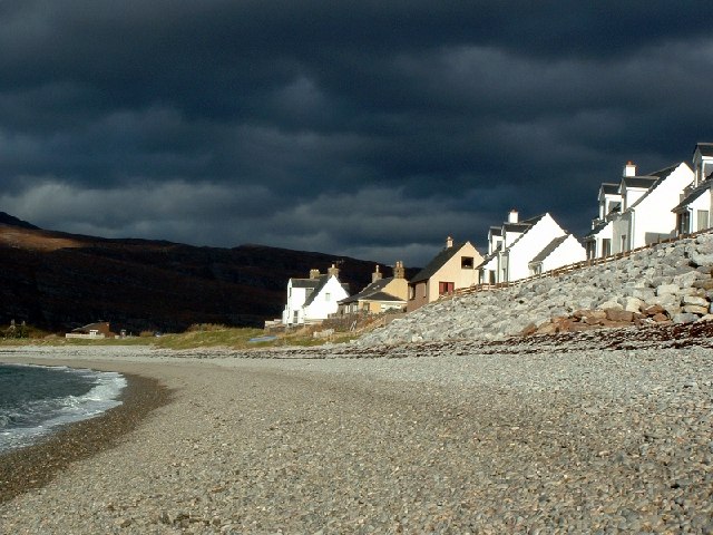
Moss of Ullapool is a stunning natural landscape located in Cromartyshire, Scotland. Situated in the northern part of the country, it is known for its breathtaking beauty and diverse ecosystem. Moss of Ullapool is characterized by its vast expanse of downs and moorland, which stretch for miles across the countryside.
The downs of Moss of Ullapool feature rolling hills covered in lush green grass, creating a picturesque backdrop against the clear blue sky. The area is home to a variety of plant species, including heather, gorse, and wildflowers, which add bursts of vibrant colors to the landscape. Visitors can enjoy leisurely walks and hikes, immersing themselves in the tranquility of the downs.
The moorland of Moss of Ullapool offers a different experience, with its rugged terrain and vast open spaces. It is dotted with patches of peat bogs and scattered rocks, creating a unique and wild atmosphere. This moorland habitat provides a home for various wildlife species, such as red deer, grouse, and golden eagles. Birdwatchers will find themselves captivated by the diverse avian population that calls the moorland home.
The natural beauty of Moss of Ullapool attracts outdoor enthusiasts, nature lovers, and photographers from all over the world. Its untouched and pristine landscapes offer a sense of tranquility and a chance to reconnect with nature. Whether exploring the downs or venturing into the moorland, Moss of Ullapool promises an unforgettable experience in the heart of Cromartyshire.
If you have any feedback on the listing, please let us know in the comments section below.
Moss of Ullapool Images
Images are sourced within 2km of 57.904187/-5.1543491 or Grid Reference NH1394. Thanks to Geograph Open Source API. All images are credited.


Moss of Ullapool is located at Grid Ref: NH1394 (Lat: 57.904187, Lng: -5.1543491)
Unitary Authority: Highland
Police Authority: Highlands and Islands
What 3 Words
///etchings.yards.rated. Near Ullapool, Highland
Nearby Locations
Related Wikis

Lochbroom FM
Lochbroom FM is a radio station based in Ullapool, Wester Ross which in the Highlands of Scotland. A community radio association was formed in 1994. They...

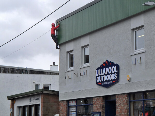
Ullapool
Ullapool (; Scottish Gaelic: Ulapul [ˈul̪ˠapʰul̪ˠ]) is a village and port located in Northern Scotland. Ullapool has a population of approximately 1,500...
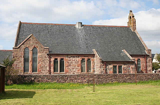
Lochbroom Free Church
The Lochbroom Free Church is a place of worship of the Free Church of Scotland in Ullapool, in the Highland council area of Scotland. The church was built...

A893 road
The A893 is a trunk road in the Scottish Highlands, located in the small town of Ullapool. It is approximately one-third of a mile (540 m) in length, and...

Loch Broom
Loch Broom (Scottish Gaelic: Lochbraon, "loch of rain showers") is a sea loch located in northwestern Ross and Cromarty, in the former parish of Lochbroom...

Morefield
Morefield (A' Mhór-choille in Gaelic) is a small hamlet, lying on the northern shore of Loch Broom, 2 miles to the north of Ullapool and south of Rhue...
Allt-na-h-Airbhe
Allt-na-h-Airbhe (Scottish Gaelic: Allt na h-Airbhe), "stream at the boundary wall", is a small crofting settlement close to Ullapool, Ross and Cromarty...
Ardmair
Ardmair (Scottish Gaelic: Àird Mhèar) is a village in Wester Ross, in the North West Highlands of Scotland. Formerly a fishing village, Ardmair is located...
Related Videos
![Solo Hiking Cape Wrath Trail [4K] Part 4 - September 2022|Kinlochewe - Shenavall Bothy - Ullapool](https://i.ytimg.com/vi/P0y0hC6kdwA/hqdefault.jpg)
Solo Hiking Cape Wrath Trail [4K] Part 4 - September 2022|Kinlochewe - Shenavall Bothy - Ullapool
V Septembri 2022 som sa rozhodol prejsť "Scottish Highlands"(Škótska vysočina) a vybral som si nádherný, divoký a absolútne ...

Ullapool is a village and port located in Northern Scotland.
Ullapool is a village and port located in Northern Scotland. The charming fishing town is steeped in history and offers visitors a ...
![[Travel Tip Tuesday] Travel Laundry Care - How To Bring Downy Wrinkle Release & Febreze On Trips!](https://i.ytimg.com/vi/EM4PCNPYpMM/hqdefault.jpg)
[Travel Tip Tuesday] Travel Laundry Care - How To Bring Downy Wrinkle Release & Febreze On Trips!
When traveling, your clothes go through quite a lot! It's easy for any traveler to get behind on laundry when moving from hotel to ...

Touring Scotland by motorhome (Part 6) Ullapool (Broomfield holiday park)
We spent one night at Broomfield holiday park in Ullapool and had a lovely walk around Ullapool and watched the Ullapool junior ...
Nearby Amenities
Located within 500m of 57.904187,-5.1543491Have you been to Moss of Ullapool?
Leave your review of Moss of Ullapool below (or comments, questions and feedback).