Gunby

Settlement in Lincolnshire South Kesteven

England

Gunby

Pillbox On the highest point of the Old North Road, overlooking the valley of the juvenile River Witham, is this concrete hexagonal pillbox.  The surrounding trees seen in <a href="https://www.geograph.org.uk/photo/6411215">SK9220 : Pillbox near North Witham</a> have gone, leaving it a commanding view along the road.

It is recorded by the  County Council: <span class="nowrap"><a title="https://heritage-explorer.lincolnshire.gov.uk/Monument/MLI34950" rel="nofollow ugc noopener" href="https://heritage-explorer.lincolnshire.gov.uk/Monument/MLI34950">Link</a><img style="margin-left:2px;" alt="External link" title="External link - shift click to open in new window" src="https://s1.geograph.org.uk/img/external.png" width="10" height="10"/></span>
Pillbox Credit: Bob Harvey

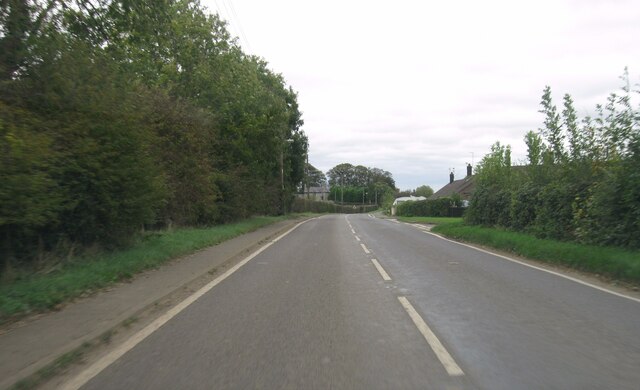
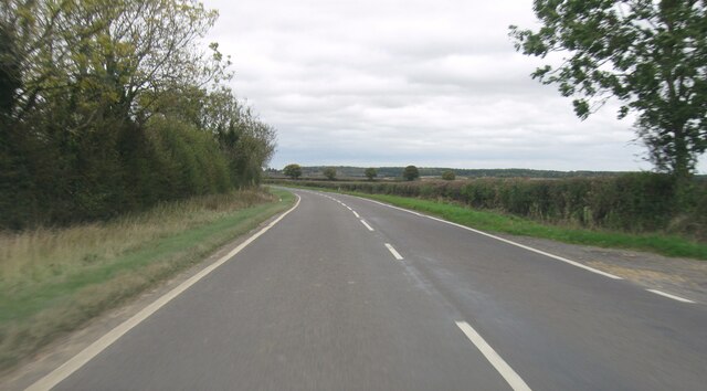
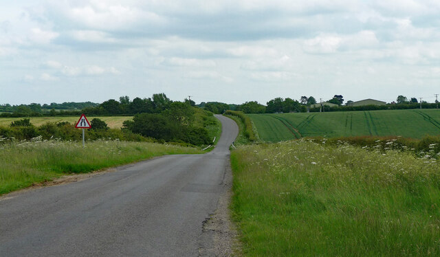
Gunby is a small village located in the East Lindsey district of Lincolnshire, England. Situated approximately 8 miles east of the historic market town of Spilsby, Gunby is nestled in the beautiful Lincolnshire Wolds, an Area of Outstanding Natural Beauty.

The village is known for its picturesque countryside, with rolling hills, charming farms, and quaint cottages that exude a sense of rural tranquility. It is an ideal destination for nature lovers and those seeking a peaceful retreat.

One of the notable attractions in Gunby is Gunby Hall, a stunning country house built in the late 17th century. The hall is surrounded by magnificent gardens that have been meticulously maintained over the years. Visitors can explore the elegant rooms of the house, which are filled with period furniture, artwork, and personal items that provide a glimpse into the past.

Gunby also has a small but tight-knit community that takes great pride in organizing events and activities for residents and visitors alike. The village hosts an annual summer fete, where locals come together to enjoy traditional games, live music, and homemade treats.

In terms of amenities, Gunby has a village hall that serves as a hub for various community gatherings and events. However, for more extensive facilities such as shops, schools, and medical services, residents typically rely on nearby towns and villages.

Overall, Gunby offers a serene and idyllic setting, making it an appealing destination for those seeking a peaceful countryside experience and a glimpse into England's rich history.

If you have any feedback on the listing, please let us know in the comments section below.

Gunby Images

Images are sourced within 2km of 52.784244/-0.64738405 or Grid Reference SK9121. Thanks to Geograph Open Source API. All images are credited.

Pillbox On the highest point of the Old North Road, overlooking the valley of the juvenile River Witham, is this concrete hexagonal pillbox.  The surrounding trees seen in <a href="https://www.geograph.org.uk/photo/6411215">SK9220 : Pillbox near North Witham</a> have gone, leaving it a commanding view along the road.

It is recorded by the  County Council: <span class="nowrap"><a title="https://heritage-explorer.lincolnshire.gov.uk/Monument/MLI34950" rel="nofollow ugc noopener" href="https://heritage-explorer.lincolnshire.gov.uk/Monument/MLI34950">Link</a><img style="margin-left:2px;" alt="External link" title="External link - shift click to open in new window" src="https://s1.geograph.org.uk/img/external.png" width="10" height="10"/></span>
Pillbox
On the highest point of the Old North Road, overlooking the valley of the juvenile River Witham, is this concrete hexagonal pillbox. The surrounding trees seen in SK9220 : Pillbox near North Witham have gone, leaving it a commanding view along the road. It is recorded by the County Council: LinkExternal link
Restricted byway It says "Restricted Byway" on the sign, and it is.  Entrance is barred to anyone without legs by little raised bollards, locked in the up position.
Restricted byway
It says "Restricted Byway" on the sign, and it is. Entrance is barred to anyone without legs by little raised bollards, locked in the up position.
The Witham Valley The crops are all in, and the fields appear to be in winter fallow.
The Witham Valley
The crops are all in, and the fields appear to be in winter fallow.
B676 eastbound
B676 eastbound
Entrance to Stainby
Entrance to Stainby
Main Road
Main Road
B676 eastbound
B676 eastbound
B676 eastbound
B676 eastbound
B676 eastbound
B676 eastbound
North Witham Road near North Witham Heading south from North Witham to South Witham.
North Witham Road near North Witham
Heading south from North Witham to South Witham.
Bull Lane near North Witham (1) Looking east towards the A1.
Bull Lane near North Witham (1)
Looking east towards the A1.
Bull Lane near North Witham (2) Heading west away from the A1.
Bull Lane near North Witham (2)
Heading west away from the A1.
Gunby, St Nicholas
Gunby, St Nicholas
North Witham, St Mary
Water Lane, North Witham Approaching the village from the south, with the spire of St Mary's Church in the distance.
Water Lane, North Witham
Approaching the village from the south, with the spire of St Mary's Church in the distance.
Round bales Harvest in, straw baled, ready for cultivation
Round bales
Harvest in, straw baled, ready for cultivation
Hedge enclosed Moor Lane near to South Witham Looking south-westward.
Hedge enclosed Moor Lane near to South Witham
Looking south-westward.
Moor Lane approaching The Forty Acre Looking westward.
Moor Lane approaching The Forty Acre
Looking westward.
Show me another place!

Gunby is located at Grid Ref: SK9121 (Lat: 52.784244, Lng: -0.64738405)

Division: Parts of Kesteven

Administrative County: Lincolnshire

District: South Kesteven

Police Authority: Lincolnshire

What 3 Words

///composer.untruth.spearing. Near South Witham, Lincolnshire

Nearby Locations

Gunby

Related Wikis

Gunby, South Kesteven

Gunby is a village and former civil parish, now in the parish of Gunby and Stainby, in the South Kesteven district of Lincolnshire, England. It is situated...

Gunby and Stainby

Gunby and Stainby is a civil parish in the South Kesteven district of Lincolnshire, England. According to the 2001 Census it had a population of 141, falling...

Stainby

Stainby is a village and former civil parish, now in the parish of Gunby and Stainby, in the South Kesteven district of Lincolnshire, England. It is situated...

North Witham

North Witham is a small village and nominally a civil parish in South Kesteven, Lincolnshire, England. The village is located along the upper course of...

Nearby Amenities

Located within 500m of 52.784244,-0.64738405
Gunby
Is In: Lincolnshire, England, UK
Is In County: Lincolnshire
Place: village
Lat/Long: 52.7844148/-0.6497115
Bus Stop
Stainby Road
Bus: yes
Naptan AtcoCode: 270000008588
Naptan Bearing: SE
Naptan CommonName: Stainby Road
Naptan Indicator: adj
Naptan Landmark: Stainby Road
Naptan NaptanCode: lingtjad
Naptan Street: Main Street
Naptan Verified: no
Public Transport: platform
Source: naptan_import
Lat/Long: 52.7842601/-0.646943
Bus Stop
Stainby Road
Bus: yes
Naptan AtcoCode: 2700LGTG3184
Naptan Bearing: W
Naptan CommonName: Stainby Road
Naptan Indicator: opp
Naptan Landmark: Stainby Road
Naptan NaptanCode: linawmwt
Naptan Street: Main Street
Naptan Verified: no
Public Transport: platform
Source: naptan_import
Lat/Long: 52.7841959/-0.647212
Glebe Farm
Place: farm
Source: Bing
Lat/Long: 52.7835421/-0.647883
Mill Farm
Place: farm
Source: Bing
Lat/Long: 52.7851093/-0.646564
Building: yes
Lat/Long: 52.7816357/-0.6515352
Power: pole
Lat/Long: 52.7841306/-0.6447601
Power: pole
Lat/Long: 52.7843074/-0.642145
The data included in this document is from www.openstreetmap.org. The data is made available under ODbL.

Have you been to Gunby?

Leave your review of Gunby below (or comments, questions and feedback).