Bad an Aon Tighe
Downs, Moorland in Sutherland
Scotland
Bad an Aon Tighe

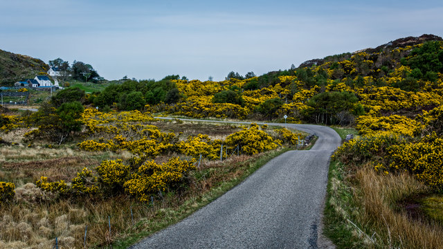
Bad an Aon Tighe is a remote and rugged area located in Sutherland, a county in the northern part of Scotland. Situated in the Scottish Highlands, it is known for its breathtaking scenery, consisting of downs and moorland. The name "Bad an Aon Tighe" translates to "Clump of the Single House" in English.
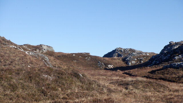
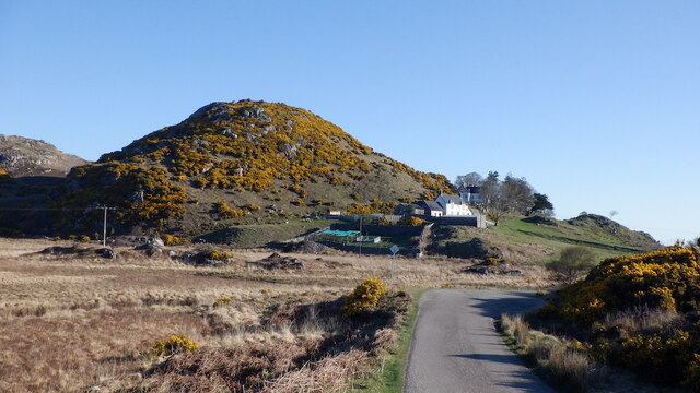
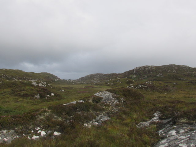
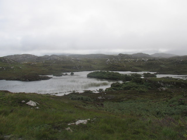
The landscape of Bad an Aon Tighe is characterized by vast expanses of rolling hills, heather-covered moors, and scattered clusters of trees. The area is sparsely populated, with only a few isolated dwellings dotting the landscape. It is a paradise for nature enthusiasts, offering ample opportunities for walking, hiking, and wildlife observation.
The downs of Bad an Aon Tighe are covered in a tapestry of vibrant purple heather during the summer months, creating a picturesque and captivating view. The moorland, on the other hand, is a vast expanse of open grassland, interspersed with patches of marshy bog and scattered rocky outcrops.
The area is home to a diverse range of flora and fauna. Heather, grasses, and wildflowers carpet the downs, while birds such as red grouse, golden eagles, and peregrine falcons soar above. Red deer and mountain hares can also be spotted roaming the moorland.
Bad an Aon Tighe offers a peaceful and tranquil escape from the hustle and bustle of everyday life. Its remote location and unspoiled natural beauty make it a popular destination for those seeking solitude and a connection with nature.
If you have any feedback on the listing, please let us know in the comments section below.
Bad an Aon Tighe Images
Images are sourced within 2km of 58.237449/-5.2149065 or Grid Reference NC1132. Thanks to Geograph Open Source API. All images are credited.


Bad an Aon Tighe is located at Grid Ref: NC1132 (Lat: 58.237449, Lng: -5.2149065)
Unitary Authority: Highland
Police Authority: Highlands and Islands
What 3 Words
///ignites.tone.splashes. Near Clachtoll, Highland
Related Wikis

Drumbeg, Sutherland
Drumbeg (Scottish Gaelic: An Druim Beag) is a remote crofting village on the north west coast of Scotland in Assynt, Sutherland, Scottish Highlands and...

Culkein Drumbeg
Culkein Drumbeg (Scottish Gaelic: Cùl-cinn an Droma Bhig) is a remote village on the north west coast of Scotland. It is located 0.93 miles (1.50 km) north...

MV Bermuda
MV Bermuda was a passenger motor ship that Furness, Withy's Furness Bermuda Line operated between New York and Bermuda from 1928 until 1931. She was damaged...

Nedd
Nedd (Scottish Gaelic: An Nead) is a small village, which lies on the western head of Loch Nedd in Lairg, western Sutherland, Scottish Highlands and is...
Nearby Amenities
Located within 500m of 58.237449,-5.2149065Have you been to Bad an Aon Tighe?
Leave your review of Bad an Aon Tighe below (or comments, questions and feedback).