Racecourse Downs

Downs, Moorland in Cornwall

England

Racecourse Downs

The A30 west at turn for Helland
The A30 west at turn for Helland Credit: Roy Hughes

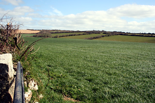
Racecourse Downs is a sprawling expanse of moorland located in Cornwall, England. Situated in the southern part of the county, it spans an area of approximately 3,000 acres and offers a picturesque landscape for visitors to explore.

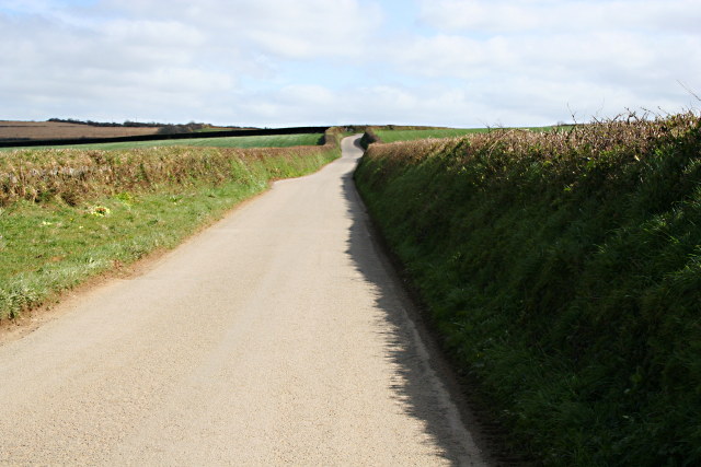
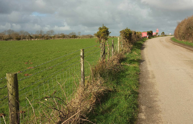
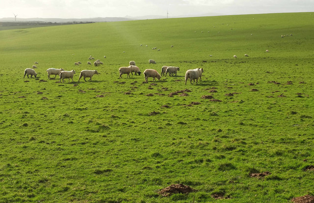
The terrain of Racecourse Downs is characterized by gently rolling hills, heather-covered moors, and scattered patches of woodland. The area is known for its rich biodiversity, with a variety of plant and animal species calling it home. Visitors can expect to encounter wild ponies grazing freely, along with an array of birdlife, including skylarks and buzzards.

One of the prominent features of Racecourse Downs is its historic racecourse, which dates back to the 18th century. This racecourse, now in disuse, provides a fascinating glimpse into the area's past and its connection to the equestrian heritage of Cornwall. The racecourse's remnants can still be seen, including the track and the remnants of the grandstand.

With its vast open spaces and breathtaking views, Racecourse Downs is a haven for outdoor enthusiasts. Walking and hiking trails crisscross the moorland, allowing visitors to immerse themselves in the natural beauty of the area. The tranquil atmosphere and unspoiled surroundings make it an ideal location for relaxation and contemplation.

Access to Racecourse Downs is relatively straightforward, with nearby parking facilities and public transportation options available. Visitors are advised to come prepared with appropriate clothing and footwear, as the weather on the moorland can be unpredictable.

Overall, Racecourse Downs offers a captivating and serene experience for nature lovers, history enthusiasts, and those seeking a tranquil escape in the heart of Cornwall.

If you have any feedback on the listing, please let us know in the comments section below.

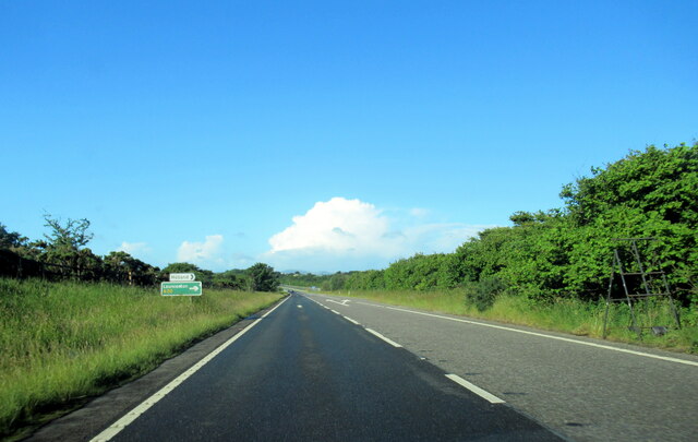
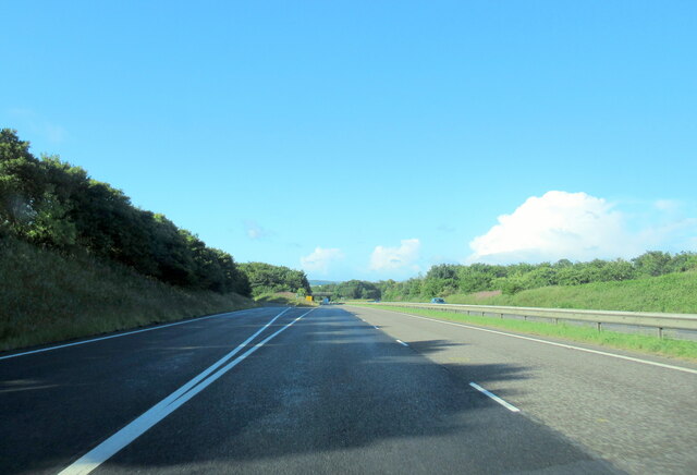
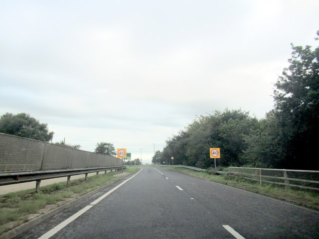
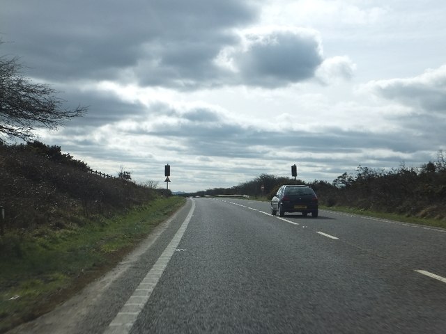
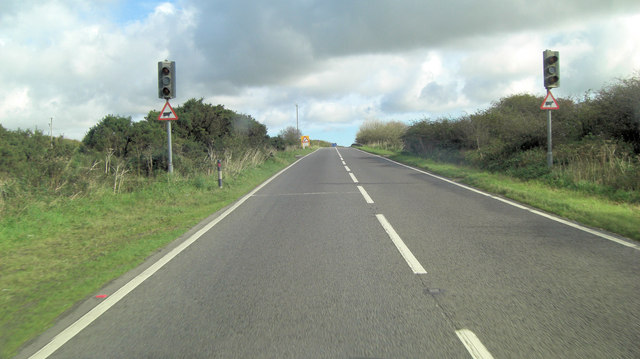
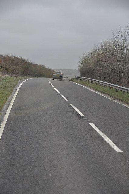
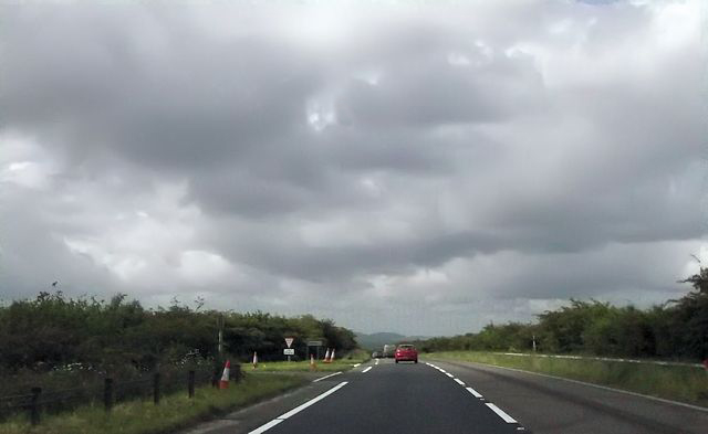
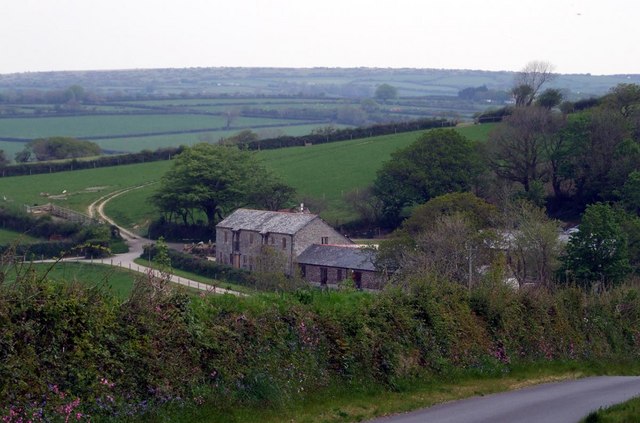
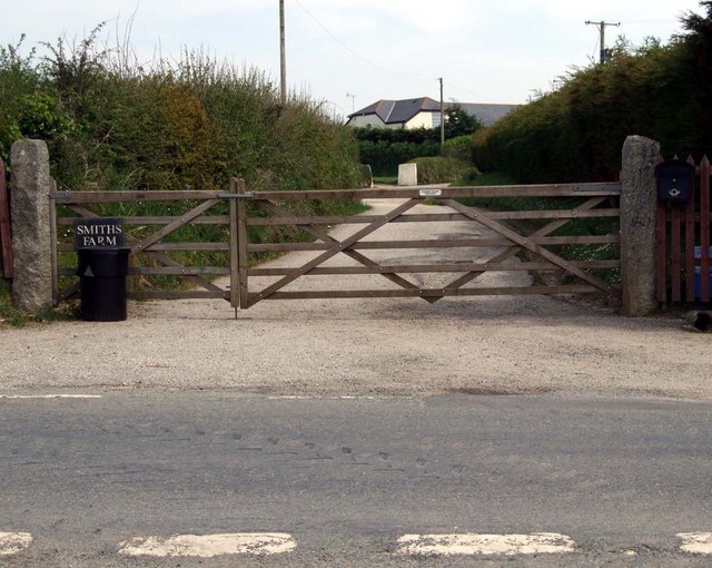
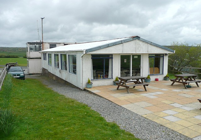
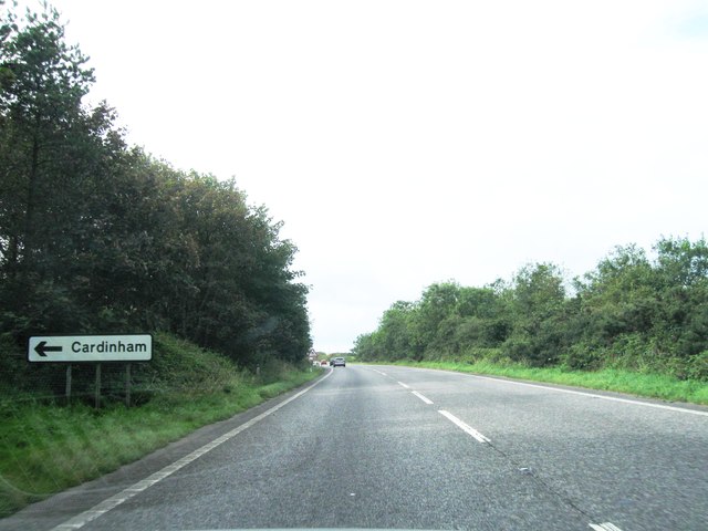
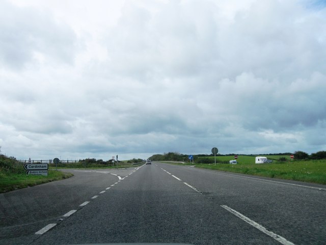
Racecourse Downs Images

Images are sourced within 2km of 50.495071/-4.6919102 or Grid Reference SX0969. Thanks to Geograph Open Source API. All images are credited.

The A30 west at turn for Helland
The A30 west at turn for Bodmin
Joining the A38 off the A30, Bodmin
Westbound A30 on Cardinham Downs Just ahead of the car is an unusual crossing of the dual carriageway; signed by a "No Entry" sign, it is effectively a private road for the local farm to give a link between land on the two sides of the road.
Westbound A30 on Cardinham Downs
Just ahead of the car is an unusual crossing of the dual carriageway; signed by a "No Entry" sign, it is effectively a private road for the local farm to give a link between land on the two sides of the road.
A30 cattle crossing on Racecourse Downs It's a brave farmer who turns on these lights and stops the A30 traffic.
A30 cattle crossing on Racecourse Downs
It's a brave farmer who turns on these lights and stops the A30 traffic.
North Cornwall : The A30 The A30 heading through Cornwall.
North Cornwall : The A30
The A30 heading through Cornwall.
Approaching Cardinham turning
The High Road A country round, unusually for Cornwall, tracks a straight course through this plateau farmland.
The High Road
A country round, unusually for Cornwall, tracks a straight course through this plateau farmland.
Fields of Grass
Fields of Grass
Higher Coldrennick Farm Farm buildings.
Higher Coldrennick Farm
Farm buildings.
Smith's Tenement Farm cottage lane from access road.
Smith's Tenement
Farm cottage lane from access road.
The Clubhouse, Cardinham airfield Headquarters of the Cornwall Flying Club.
The Clubhouse, Cardinham airfield
Headquarters of the Cornwall Flying Club.
A30 southwest bound
A30 southwest bound
A30 southwest bound
A30 southwest bound
A30 south of Trencreek
North Cornwall : The A30 Heading along the A30 as it passes a Gulf petrol station.
North Cornwall : The A30
Heading along the A30 as it passes a Gulf petrol station.
Lane approaching the A30 The lane from Bodmin (Cardinham) airfield approaches the rearranged junction.
Lane approaching the A30
The lane from Bodmin (Cardinham) airfield approaches the rearranged junction.
Sheep near Cardinham Airfield From where <a href="https://www.geograph.org.uk/photo/5672241">SX1070 : Lane approaching the A30</a> was taken, looking left.
Sheep near Cardinham Airfield
From where SX1070 : Lane approaching the A30 was taken, looking left.
Show me another place!

Racecourse Downs is located at Grid Ref: SX0969 (Lat: 50.495071, Lng: -4.6919102)

Unitary Authority: Cornwall

Police Authority: Devon and Cornwall

What 3 Words

///simulations.haggis.conquest. Near Helland, Cornwall

Nearby Locations

Racecourse Downs

Related Wikis

Bodmin Airfield

Bodmin Airfield (ICAO: EGLA) is located 3.5 NM (6.5 km; 4.0 mi) northeast of Bodmin, Cornwall, England, UK. Radio equipped microlights can use Bodmin...

Helland

Helland (Cornish: Hellann) is a civil parish and village in Cornwall, England, United Kingdom. It is situated 2+1⁄2 miles (4.0 km) north of Bodmin. The...

Cooksland, Cornwall

Cooksland is a hamlet in Cornwall, England, UK. It is on the A30 main road about one mile northeast of Bodmin. It is in the civil parish of St Breward...

Callywith College

Callywith College is a further education college in Bodmin, Cornwall. The first all-new college in the UK for 20 years, it was created with the assistance...

Nearby Amenities

Located within 500m of 50.495071,-4.6919102
Barrier: cattle_grid
Source: OS_OpenData_StreetView
Lat/Long: 50.4930154/-4.6919602
Barrier: cattle_grid
Source: OS_OpenData_StreetView
Lat/Long: 50.4971526/-4.6926316
Give Way
Lat/Long: 50.4927234/-4.6919439
Power: pole
Lat/Long: 50.4974866/-4.6949333
Power: pole
Lat/Long: 50.4966932/-4.6955395
Power: pole
Lat/Long: 50.4955211/-4.6958023
Power: pole
Lat/Long: 50.4935674/-4.6962824
Power: pole
Lat/Long: 50.4926425/-4.6965024
Power: pole
Lat/Long: 50.4918064/-4.6966821
Norton Cottage
Place: isolated_dwelling
Lat/Long: 50.4965791/-4.6937032
Racecourse Downs
Place: locality
Lat/Long: 50.4949307/-4.6920419
The data included in this document is from www.openstreetmap.org. The data is made available under ODbL.

Have you been to Racecourse Downs?

Leave your review of Racecourse Downs below (or comments, questions and feedback).