Achnashellach Forest
Downs, Moorland in Ross-shire
Scotland
Achnashellach Forest
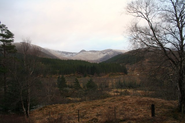
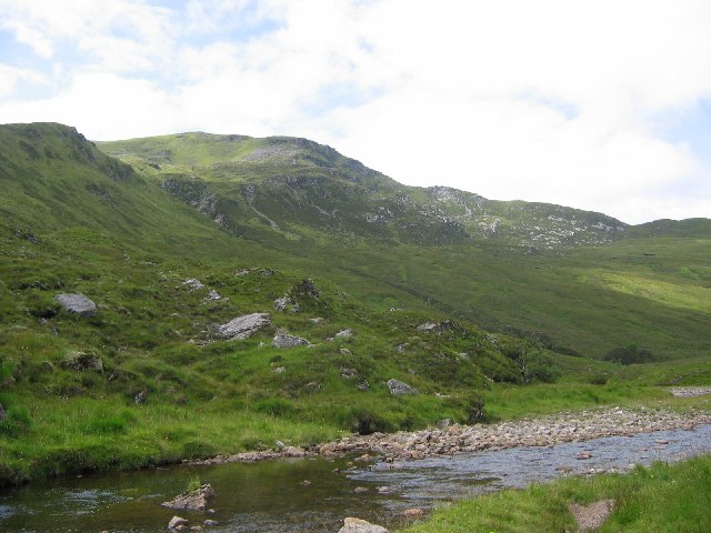
Achnashellach Forest is a picturesque woodland located in the county of Ross-shire, in the Scottish Highlands. Covering an area of approximately 10,000 acres, it is situated about 8 miles southwest of Lochcarron. The forest is surrounded by stunning mountain ranges, including the Torridon Hills to the north and the Coulin Forest to the south.
The landscape of Achnashellach Forest is characterized by its diverse terrain, consisting of downs and moorland. The downs are gently sloping areas covered in grass, heather, and scattered trees, while the moorland is characterized by extensive stretches of open, treeless land with heather and peat bogs.
The forest is home to a rich variety of flora and fauna. The downs provide habitat for a range of plant species, including heather, bog myrtle, and wild thyme. The moorland supports a variety of mosses and lichens, as well as numerous bird species such as red grouse and golden plovers.
Achnashellach Forest offers visitors a multitude of outdoor recreational opportunities. There are several walking trails that wind through the forest, providing stunning views of the surrounding mountains and valleys. The area is also popular among birdwatchers and nature enthusiasts, who can spot various species of birds and animals, including red deer and mountain hares.
Overall, Achnashellach Forest is a captivating natural landscape, offering visitors a chance to immerse themselves in the beauty of the Scottish Highlands and experience the tranquility of the downs and moorland.
If you have any feedback on the listing, please let us know in the comments section below.
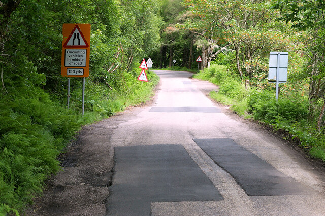
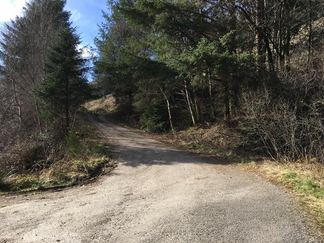
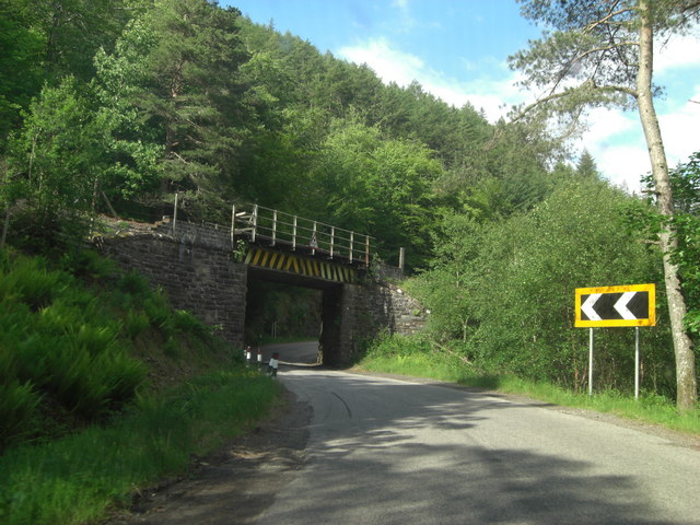
Achnashellach Forest Images
Images are sourced within 2km of 57.484036/-5.2915261 or Grid Reference NH0248. Thanks to Geograph Open Source API. All images are credited.


Achnashellach Forest is located at Grid Ref: NH0248 (Lat: 57.484036, Lng: -5.2915261)
Unitary Authority: Highland
Police Authority: Highlands and Islands
What 3 Words
///kinder.retaliate.ranks. Near Kinlochewe, Highland
Nearby Locations
Related Wikis

Achnashellach Forest
Achnashellach Forest (Scottish Gaelic: Ach nan Seileach field of the willows) is a large area of the Scottish Highlands lying between Glen Carron and Loch...

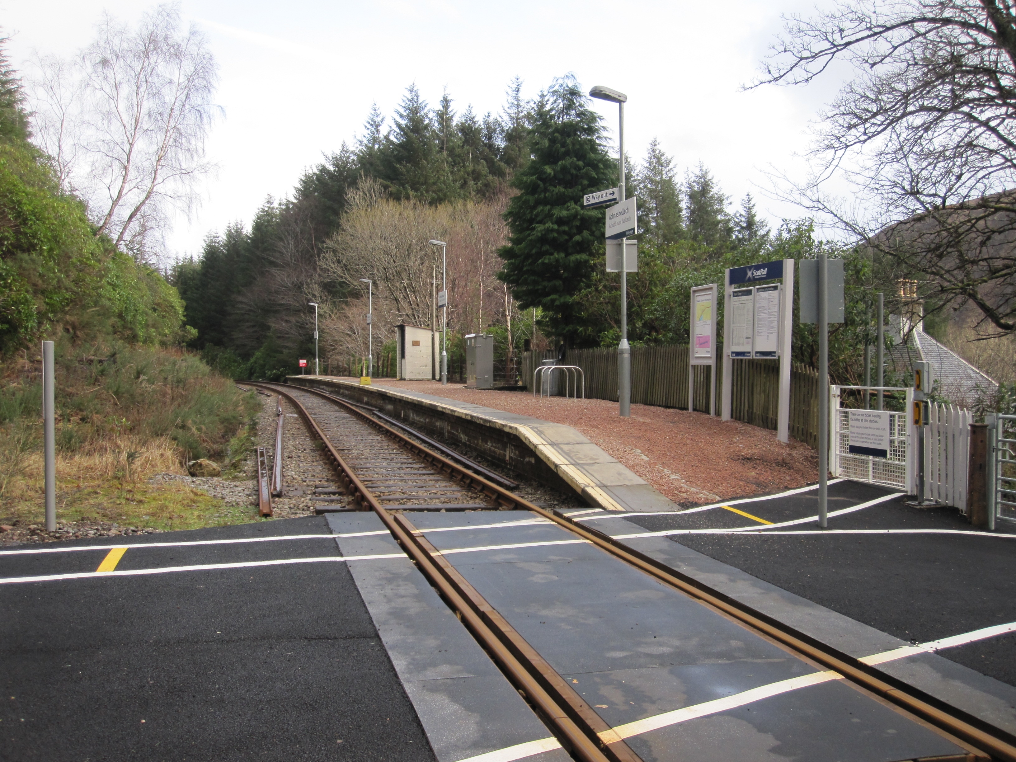
Achnashellach railway station
Achnashellach railway station is a railway station serving Achnashellach on the Kyle of Lochalsh Line, in Wester Ross, Scotland. The station lies between...
Achnashellach
Achnashellach (Gaelic: Achadh nan Seileach) is an area in Wester Ross in the Highlands of Scotland, and within the Highland council area. It is at the...

Loch Dùghaill
Loch Dùghaill (also anglicised as Loch Doule or Loch Doughaill) is a freshwater tidal loch on the River Carron in Wester Ross, Scotland. The A890 road...
Sgùrr na Feartaig
Sgurr na Feartaig (863 m) is a mountain in the Northwest Highlands, Scotland. It is located northeast of Strathcarron in Wester Ross. The mountain takes...

Glencarron Platform railway station
Glencarron Platform was an intermediate halt on the Dingwall and Skye Railway between Achnashellach and Achnasheen. It was 36 miles 19 chains (58.3 km...

Glencarron Estate
The Glencarron Estate is a 12,000 acre highland estate in Wester Ross. It provides sports facilities for fishing (river and loch) and grouse shooting....

Balnacra
Balnacra (Scottish Gaelic: Beul-àtha na Crà) is a village in Strathcarron, Ross-Shire, Scotland, roughly seven miles from the village of Lochcarron. It...
Nearby Amenities
Located within 500m of 57.484036,-5.2915261Have you been to Achnashellach Forest?
Leave your review of Achnashellach Forest below (or comments, questions and feedback).