Kerrow Moor

Downs, Moorland in Cornwall

England

Kerrow Moor

Red Lane, Molinnis
Red Lane, Molinnis Credit: David Smith

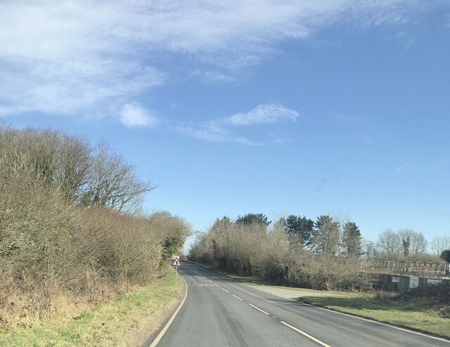
Kerrow Moor, located in Cornwall, England, is a picturesque area encompassing both downs and moorland. Covering a vast expanse, the landscape of Kerrow Moor offers a diverse range of natural beauty and unique features.

The downs of Kerrow Moor are characterized by their rolling hills and open grasslands. These downs provide a tranquil setting with stunning panoramic views of the surrounding countryside. The rich biodiversity found in this area includes various species of wildflowers, grasses, and small mammals.

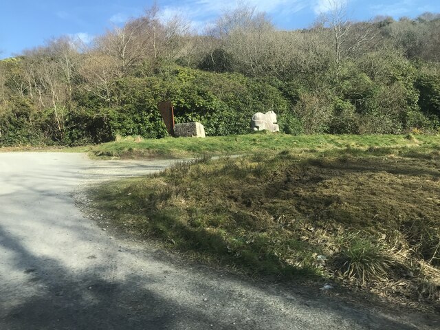
Adjacent to the downs, the moorland of Kerrow Moor adds another layer of charm to the landscape. Moorland is characterized by its wet and boggy terrain, dotted with heather and gorse bushes. This unique ecosystem is home to a wide variety of bird species, including the iconic red grouse, as well as other wildlife such as adders and rabbits.

The area is a popular destination for outdoor enthusiasts and nature lovers, offering numerous walking and hiking trails that allow visitors to explore the natural beauty of Kerrow Moor. These trails provide opportunities to observe the diverse flora and fauna, as well as to enjoy the breathtaking views of the surrounding countryside.

Additionally, Kerrow Moor is steeped in history, with traces of ancient settlements and burial sites. Archaeological remains, such as stone circles and standing stones, can be found scattered across the moorland, providing glimpses into the area's past.

Overall, Kerrow Moor in Cornwall offers a captivating blend of downs and moorland, providing visitors with a unique and enchanting experience in the heart of nature.

If you have any feedback on the listing, please let us know in the comments section below.
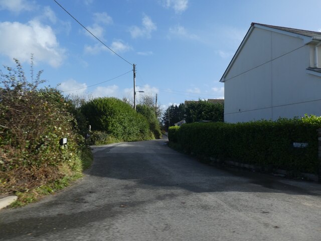
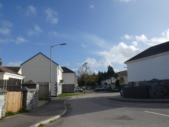
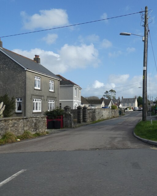
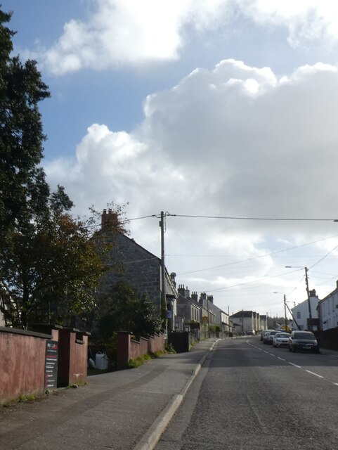
Kerrow Moor Images

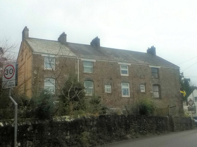
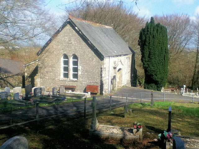
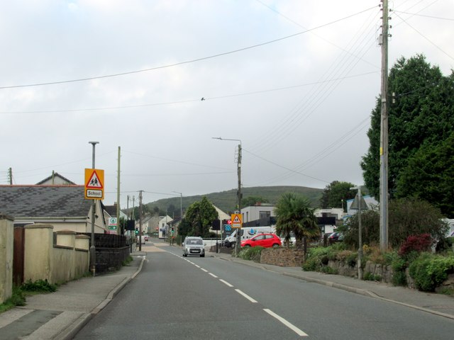
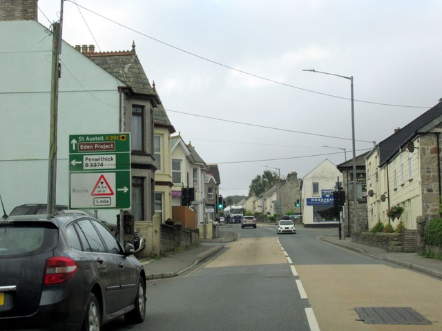
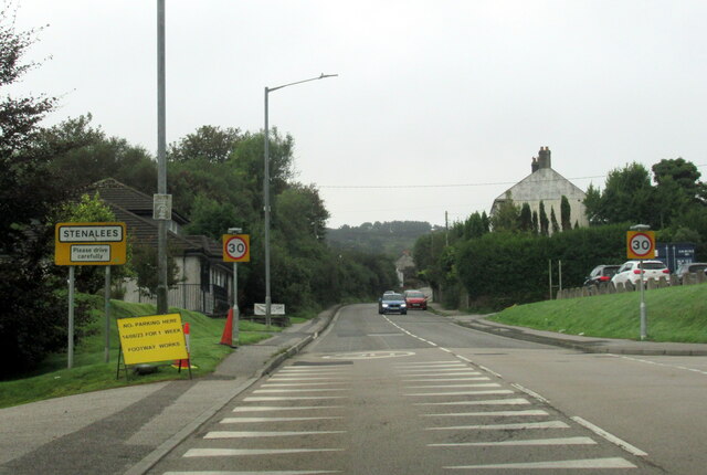
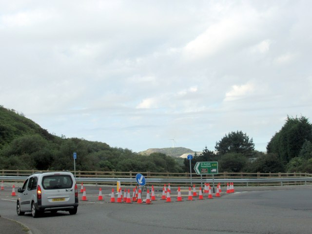
Images are sourced within 2km of 50.385676/-4.7808549 or Grid Reference SX0257. Thanks to Geograph Open Source API. All images are credited.

Red Lane, Molinnis
Red Lane, Molinnis
Houses in Springfields, Molinnis
Molinnis Road, Bugle
Stannary Road (A391) north of Stenalees
Industrial estate at Chynoweth
Bugle Methodist Church
Former Wesleyan Chapel at Penwithick
Rescorla Primitive Methodist chapel 1831
Road at Knightor Approaching the Trebal refinery.
Road at Knightor
Approaching the Trebal refinery.
Guide stone A horse sculpture marks the start of a 3.5m trail to the Eden project <span class="nowrap"><a title="https://www.claytrails.co.uk/eden-project-bugle" rel="nofollow ugc noopener" href="https://www.claytrails.co.uk/eden-project-bugle">Link</a><img style="margin-left:2px;" alt="External link" title="External link - shift click to open in new window" src="https://s1.geograph.org.uk/img/external.png" width="10" height="10"/></span>
Guide stone
A horse sculpture marks the start of a 3.5m trail to the Eden project LinkExternal link
Crossroads Community Hall
St. Peter the Apostle's Church
Former Wesleyan Methodist Chapel
Teverbyn Cemetery
Teverbyn Cemetery
Bugle Cornwall
Bugle Cornwall
Fore Street Bugle Cornwall
The A391 at Stenalees village sign
Roadworks at the A391, B3274 island
Show me another place!

Kerrow Moor is located at Grid Ref: SX0257 (Lat: 50.385676, Lng: -4.7808549)

Unitary Authority: Cornwall

Police Authority: Devon and Cornwall

What 3 Words

///package.banquets.refers. Near Bugle, Cornwall

Nearby Locations

Kerrow Moor Rescorla

Related Wikis

Bowling Green, Cornwall

Bowling Green is a hamlet in Cornwall, England, UK. It is located 4 miles (6.4 km) north of St Austell, within the civil parish of Treverbyn. == References ==

Treverbyn

Treverbyn is a civil parish and village in mid-Cornwall, England, United Kingdom. The church of St Peter is modern as the medieval chapel was closed at...

Lavrean

Lavrean is a hamlet in the parish of Luxulyan, Cornwall, England. It is in the civil parish of Treverbyn == References ==

Rescorla, Cornwall

Rescorla is a small village in mid-Cornwall, near St Austell, in the heart of the Clay Country, Cornwall’s china clay mining district. It belongs to the...

Nearby Amenities

Located within 500m of 50.385676,-4.7808549
Bus Stop
Kerrow Moor Farm
Bench: no
Bin: no
Bus: yes
Lit: no
Long Name: Bugle Kerrow Moor Farm (N-bound)
Naptan AdministrativeAreaCode: 73
Naptan AtcoCode: 0800FWW38481
Naptan Bearing: N
Naptan BusStopType: MKD
Naptan CommonName: Kerrow Moor Farm
Naptan Indicator: N-bound
Naptan LocalityName: Bugle
Naptan ModificationDate: 2021-07-07 13:30
Naptan NaptanCode: cordjgwa
Naptan NptgLocalityCode: E0004481
Naptan RegionCode: cordjgwa
Naptan Street: B3374
Naptan Verified: no
Public Transport: platform
Shelter: no
Source: naptan_import
Tactile Paving: no
Lat/Long: 50.3845779/-4.7851426
Bus Stop
Council Houses
Bus: yes
Naptan AtcoCode: 0800FWW38526
Naptan Bearing: NE
Naptan CommonName: Council Houses
Naptan NaptanCode: cordjmtp
Naptan Street: Unclassified
Naptan Verified: no
Public Transport: platform
Source: naptan_import
Lat/Long: 50.3838212/-4.7776699
Bus Stop
Council Houses
Bus: yes
Naptan AtcoCode: 0800FWW38535
Naptan Bearing: SW
Naptan CommonName: Council Houses
Naptan NaptanCode: cordjmtd
Naptan Street: Unclassified
Naptan Verified: no
Public Transport: platform
Source: naptan_import
Lat/Long: 50.3834212/-4.7782233
Kerrow Moor
Name Kw: Hal Kerow
Place: hamlet
Lat/Long: 50.3856/-4.7849
Rescorla
Is In County: Cornwall
Name Kw: Roskorla
Place: hamlet
Source: OS_OpenData_StreetView
Wikidata: Q633311
Lat/Long: 50.3846897/-4.7763715
Post Box
Brand: Royal Mail
Brand Wikidata: Q638098
Brand Wikipedia: en:Royal Mail
Collection Times: Mo-Sa 11:30; Su off
Operator: Royal Mail
Operator Wikidata: Q638098
Post Box Design: type_c
Post Box Mounting: stone_wall
Post Box Type: wall
Ref: PL26 127
Royal Cypher: VR
Royal Cypher Wikidata: Q33102356
Source: survey;streetlevel imagery;aerial imagery
Lat/Long: 50.3843103/-4.7762747
Generator Method: photovoltaic
Generator Output Electricity: yes
Generator Source: solar
Generator Type: solar_photovoltaic_panel
Location: roof
Power: generator
Lat/Long: 50.3833862/-4.7780201
Generator Method: photovoltaic
Generator Output Electricity: yes
Generator Source: solar
Generator Type: solar_photovoltaic_panel
Location: roof
Power: generator
Lat/Long: 50.3833417/-4.7780362
Generator Method: photovoltaic
Generator Output Electricity: yes
Generator Source: solar
Generator Type: solar_photovoltaic_panel
Location: roof
Power: generator
Lat/Long: 50.3834494/-4.7778565
Generator Method: photovoltaic
Generator Output Electricity: yes
Generator Source: solar
Generator Type: solar_photovoltaic_panel
Location: roof
Power: generator
Lat/Long: 50.3840292/-4.7763866
Generator Method: photovoltaic
Generator Output Electricity: yes
Generator Source: solar
Generator Type: solar_photovoltaic_panel
Location: roof
Power: generator
Lat/Long: 50.3839796/-4.7759682
Generator Method: photovoltaic
Generator Output Electricity: yes
Generator Source: solar
Generator Type: solar_photovoltaic_panel
Location: roof
Power: generator
Lat/Long: 50.3846073/-4.7749758
Generator Method: photovoltaic
Generator Output Electricity: yes
Generator Source: solar
Generator Type: solar_photovoltaic_panel
Location: roof
Power: generator
Lat/Long: 50.3840857/-4.7752038
Generator Method: photovoltaic
Generator Output Electricity: yes
Generator Source: solar
Generator Type: solar_photovoltaic_panel
Location: roof
Power: generator
Lat/Long: 50.3841421/-4.7751233
Generator Method: photovoltaic
Generator Output Electricity: yes
Generator Source: solar
Generator Type: solar_photovoltaic_panel
Location: roof
Power: generator
Lat/Long: 50.384255/-4.775421
Generator Method: photovoltaic
Generator Output Electricity: yes
Generator Source: solar
Generator Type: solar_photovoltaic_panel
Location: roof
Power: generator
Lat/Long: 50.3842362/-4.7754854
Bus Stop
Kerrow Moor Farm
Bench: no
Bin: no
Bus: yes
Lit: no
Long Name: Bugle Kerrow Moor Farm (S-bound)
Naptan AdministrativeAreaCode: 73
Naptan AtcoCode: 0800COA15672
Naptan Bearing: S
Naptan BusStopType: CUS
Naptan CommonName: Kerrow Moor Farm
Naptan Indicator: S-bound
Naptan LocalityName: Bugle
Naptan ModificationDate: 2017-01-04 09:42
Naptan NptgLocalityCode: E0004481
Naptan RegionCode: corgjmjt
Naptan Verified: no
Public Transport: platform
Shelter: no
Tactile Paving: no
Lat/Long: 50.38459/-4.78496
The data included in this document is from www.openstreetmap.org. The data is made available under ODbL.

Have you been to Kerrow Moor?

Leave your review of Kerrow Moor below (or comments, questions and feedback).