Cant Moor
Downs, Moorland in Pembrokeshire
Wales
Cant Moor
The requested URL returned error: 429 Too Many Requests
If you have any feedback on the listing, please let us know in the comments section below.
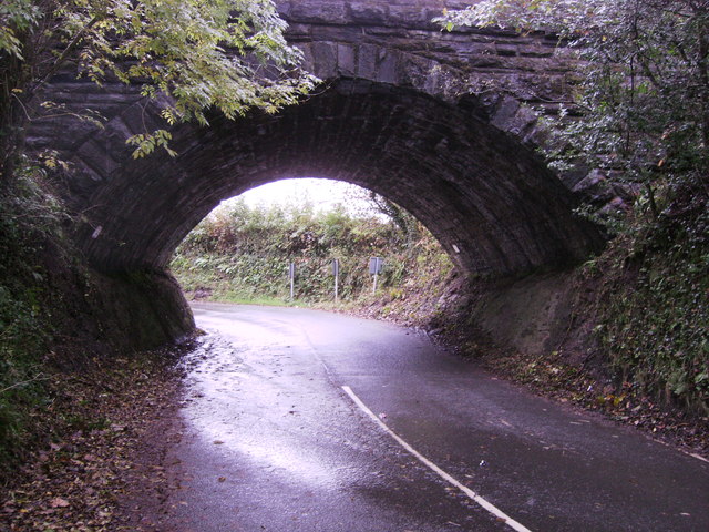
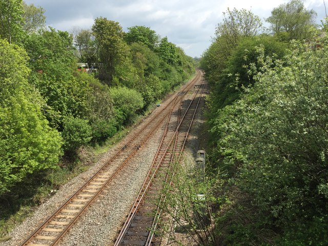
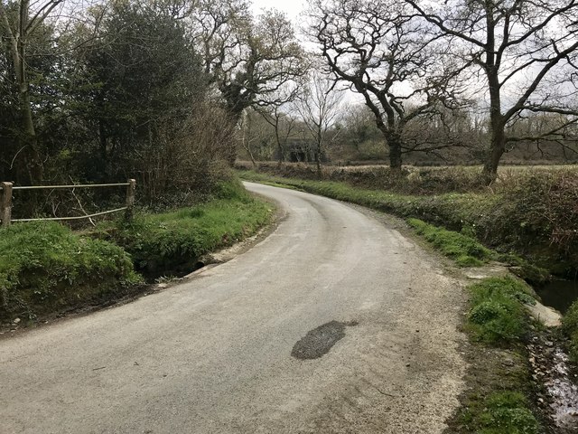
Cant Moor Images
Images are sourced within 2km of 51.852136/-4.9052457 or Grid Reference SN0021. Thanks to Geograph Open Source API. All images are credited.

![Clarbeston Road station An Arriva train bound for Milford Haven has just pulled in and two passengers wait for the doors to open. Victorian OS maps show the station to be east of the road bridge [from where this shot was taken], but now it is on the west side. I stopped in the hope that the station would be an old GWR style building, but was obviously disappointed. I would guess that before the GWR built the line through here, the village of Clarbeston Road would not have existed, though a map of the 1880&#039;s shows a few dwellings and two pubs.](https://s0.geograph.org.uk/geophotos/05/16/23/5162340_0e2d9e1b.jpg)


Cant Moor is located at Grid Ref: SN0021 (Lat: 51.852136, Lng: -4.9052457)
Unitary Authority: Pembrokeshire
Police Authority: Dyfed Powys
What 3 Words
///occupiers.lightens.kindness. Near Spittal, Pembrokeshire
Nearby Locations
Related Wikis

Scolton Manor
Scolton Manor is a Victorian country house and country park located in Pembrokeshire, West Wales northeast of Haverfordwest and on the borders of the Pembrokeshire...

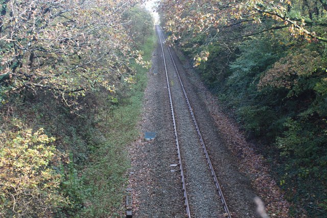
Clarbeston Road railway station
Clarbeston Road railway station serves villages such as Clarbeston Road, Clarbeston, Wiston, Walton East and Crundale in Pembrokeshire, Wales. The station...

Rudbaxton Rath
Rudbaxton Rath is a ring-shaped enclosure together with a ringed keep in the parish of Rudbaxton, Pembrokeshire, Wales. It is situated roughly 1.54 km...

Spittal, Pembrokeshire
Spittal is a village, parish and community in Pembrokeshire, Wales. It is situated on the A40 trunk road, approximately halfway between Haverfordwest and...
Related Videos

Sarnau Signalbox,Scolton Manor Park
Down in south Wales lies the beautiful coastal region of Pembrokeshire and within the local area lies the Scolton ...
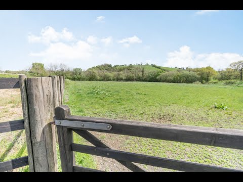
Incredible Cottage in Seven Acres with Stables & Two Bedroom Annex in Clarbeston Road, Pembrokeshire
Sitting in seven acres Cornmill is a home to truly love and cherish. Originating from the agricultural buildings of a pig and cow ...

CAROL SERVICE: "Christmas Isn't Cancelled!" by Pastor Jenny Gough
In the wake of 2020, can we really celebrate Christmas?

CHRISTMAS DAY: Good News For All! Luke 2:10 by Pastor Jenny Gough
A short Christmas Day message: Good news in an age of bad news.
Nearby Amenities
Located within 500m of 51.852136,-4.9052457Have you been to Cant Moor?
Leave your review of Cant Moor below (or comments, questions and feedback).