Broad Moor
Downs, Moorland in Pembrokeshire
Wales
Broad Moor

Broad Moor is a picturesque expanse of moorland located in the county of Pembrokeshire, Wales. Situated in the southern part of the county, it covers an area of approximately 2 square kilometers. The moorland is characterized by its undulating terrain, covered with heather, grasses, and scattered gorse bushes.
The landscape of Broad Moor offers breathtaking views, with its wide open spaces and rolling hills. It is a haven for nature enthusiasts and birdwatchers, as it is home to a diverse range of flora and fauna. The moorland supports a variety of bird species, including skylarks, meadow pipits, and stonechats, as well as occasional sightings of rare raptors such as merlins and hen harriers.
The moorland is also home to several species of small mammals, including rabbits, voles, and shrews. Visitors may also come across the occasional adder or common lizard basking in the sun. In the summer months, the moorland comes alive with the vibrant colors of wildflowers, including heather, foxgloves, and orchids.
Broad Moor is easily accessible, with footpaths and trails crisscrossing the area, allowing visitors to explore its beauty on foot or by bike. The surrounding countryside offers ample parking and picnic areas, providing a perfect opportunity for families to enjoy a day out in nature.
Overall, Broad Moor is a captivating destination for those seeking tranquility, natural beauty, and a chance to immerse themselves in the wonders of the Welsh countryside.
If you have any feedback on the listing, please let us know in the comments section below.
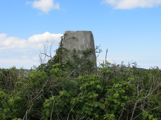
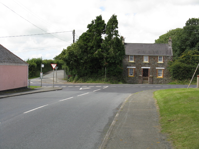
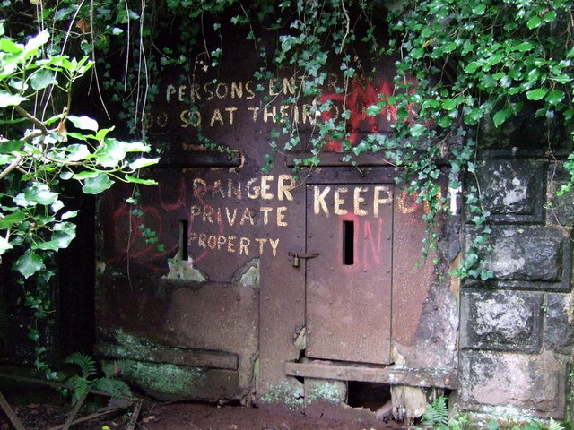
Broad Moor Images
Images are sourced within 2km of 51.743461/-4.9605034 or Grid Reference SM9509. Thanks to Geograph Open Source API. All images are credited.


Broad Moor is located at Grid Ref: SM9509 (Lat: 51.743461, Lng: -4.9605034)
Unitary Authority: Pembrokeshire
Police Authority: Dyfed Powys
What 3 Words
///sourcing.bikers.masking. Near Freystrop, Pembrokeshire
Nearby Locations
Related Wikis

Sardis, south Pembrokeshire
Sardis (also known as Sardis Cross) is a small village in the community and parish of Burton, Pembrokeshire, Wales 1 mile (2 km) east of Rosemarket....

Hill Mountain
Hill Mountain (or Herson/Hearson Mountain) is a village in the community and parish (Church in Wales) of Burton, south Pembrokeshire, Wales. The population...
Great Nash
Great Nash was an important gentry house at Llangwm, Pembrokeshire, Wales. The house was occupied by the Nash family in the 15th and 16th Century. An heiress...
Benton Fault
The Benton Fault is a geological fault in southern Pembrokeshire in Wales that was active as a normal fault during the deposition of the Old Red Sandstone...
Freystrop
Freystrop is a village, parish and community in Pembrokeshire, Wales, 2 miles (3.2 km) southeast of Haverfordwest. == References == == External links... ==
Hook Wood
Hook Wood is a Site of Special Scientific Interest (or SSSI) in Pembrokeshire, South Wales. In 1603 George Owen described Hook Wood as one of “the best...
Rosemarket
Rosemarket is a village, parish and community in Pembrokeshire, Wales, north of Milford Haven. == Name == The name does not refer to flowers but to the...
Scoveston Fort
Scoveston Fort, on the northern shore of Milford Haven, Pembrokeshire, Wales, U.K., is a Grade II Listed Building which belongs to a series of forts built...
Nearby Amenities
Located within 500m of 51.743461,-4.9605034Have you been to Broad Moor?
Leave your review of Broad Moor below (or comments, questions and feedback).