Bulliber Down
Downs, Moorland in Pembrokeshire
Wales
Bulliber Down
Bulliber Down is a stunning area of moorland located in Pembrokeshire, Wales. It is situated near the village of Bulliber, and is surrounded by breathtaking scenery, making it a popular destination for nature lovers and outdoor enthusiasts.
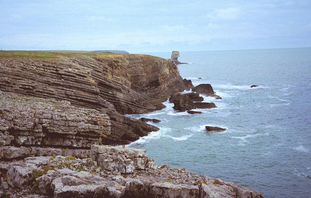
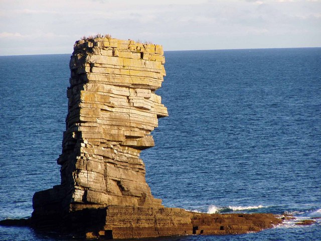
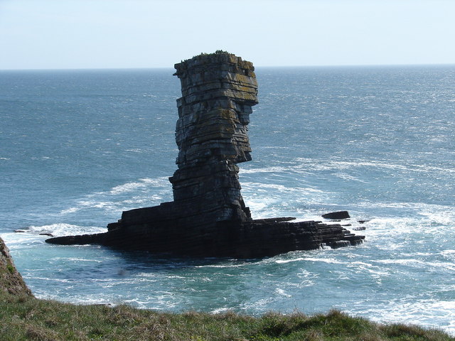
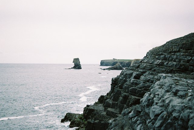
Covering an expansive area of rolling hills and heather-covered slopes, Bulliber Down offers visitors a unique experience of the Welsh countryside. The landscape is characterized by its rugged beauty, with ancient stone walls and scattered boulders adding to its charm. The moorland is also home to a variety of wildlife, including birds of prey, such as kestrels and buzzards, as well as rabbits and other small mammals.
Hiking and walking enthusiasts will find Bulliber Down to be an excellent location for exploring the great outdoors. The area is crisscrossed with well-maintained footpaths, allowing visitors to discover its hidden gems and enjoy panoramic views of the surrounding countryside. The diverse terrain, ranging from gentle slopes to steeper inclines, offers options for all levels of fitness.
In addition to its natural beauty, Bulliber Down also holds historical significance. It is home to several ancient burial mounds and stone circles, providing a glimpse into the area's rich past. Archaeological enthusiasts will find plenty to explore and discover in this historically significant landscape.
Whether you are seeking a peaceful retreat, an adventurous hike, or an opportunity to immerse yourself in history, Bulliber Down offers it all. With its unspoiled beauty and tranquil atmosphere, it is a must-visit destination for anyone exploring Pembrokeshire.
If you have any feedback on the listing, please let us know in the comments section below.
Bulliber Down Images
Images are sourced within 2km of 51.618835/-5.0238404 or Grid Reference SR9095. Thanks to Geograph Open Source API. All images are credited.


Bulliber Down is located at Grid Ref: SR9095 (Lat: 51.618835, Lng: -5.0238404)
Unitary Authority: Pembrokeshire
Police Authority: Dyfed Powys
What 3 Words
///skies.narrating.kettles. Near Castlemartin, Pembrokeshire
Nearby Locations
Related Wikis
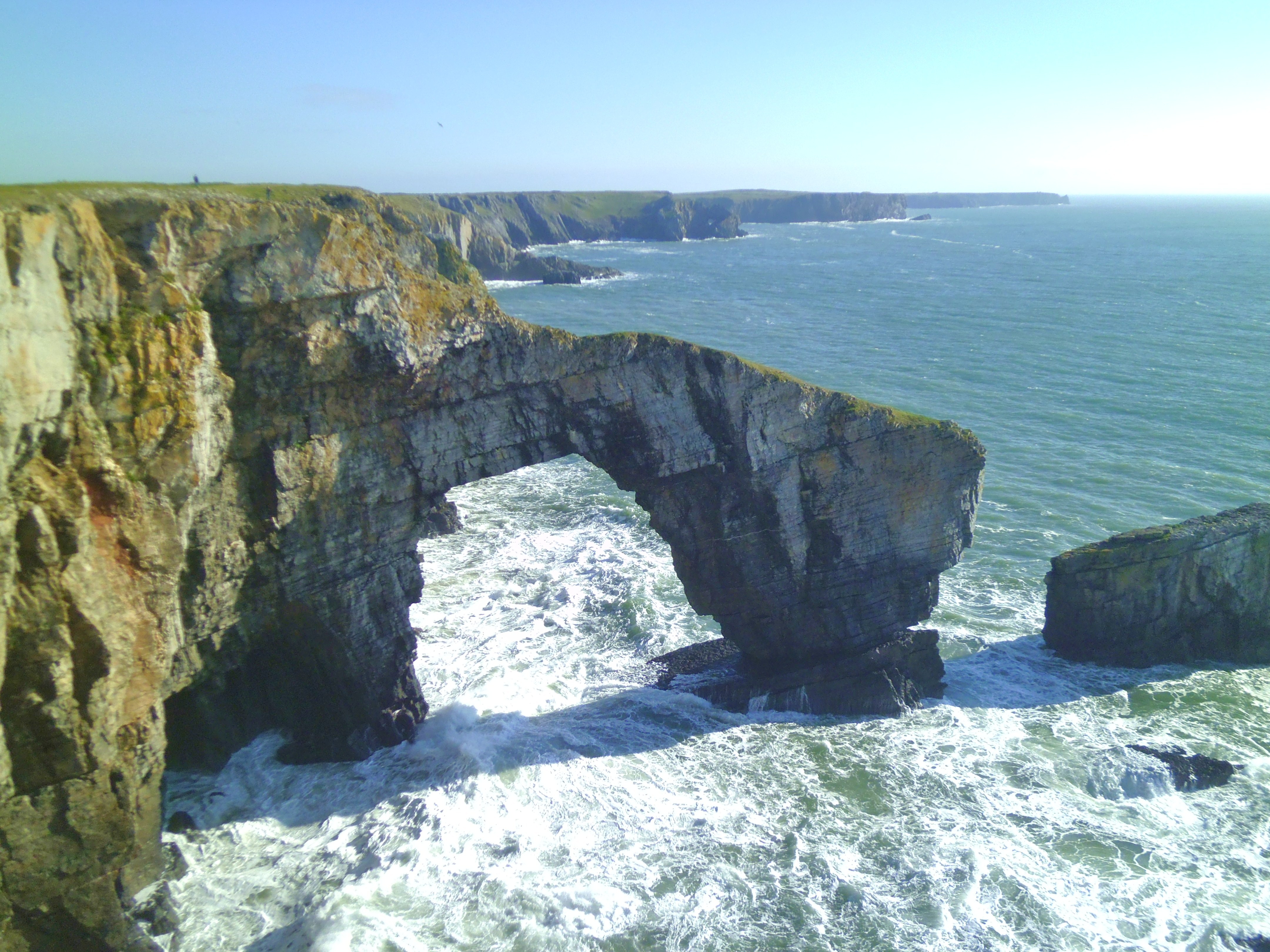
Green Bridge of Wales
The Green Bridge of Wales (Welsh: Pont Werdd Cymru) is a natural arch formed from Carboniferous Limestone within the Pembrokeshire Coast National Park...

Crow Rock
Crow Rock is a rock located off of Linney Head, Pembrokeshire, in west Wales. It is considered to be a good diving location, because of its deep gullies...

Castlemartin Training Area
Castlemartin Training Area is a British Army military training area and armoured fighting vehicle range located in the Welsh county of Pembrokeshire. It...

Stackpole and Castlemartin
Stackpole and Castlemartin is a community in Pembrokeshire, Wales, 4 miles (6.4 km) south of Pembroke.It was formed in 2011 by the amalgamation of the...
Nearby Amenities
Located within 500m of 51.618835,-5.0238404Have you been to Bulliber Down?
Leave your review of Bulliber Down below (or comments, questions and feedback).