Bear's Downs

Downs, Moorland in Cornwall

England

Bear's Downs

The B3274 near Bogee Farm Wind turbines in the Bears Down cluster can be seen on the horizon
The B3274 near Bogee Farm Credit: David Gearing

Bear's Downs is a picturesque area located in Cornwall, England. Situated within the larger region known as the Downs, Bear's Downs is a beautiful expanse of moorland. Covering an area of approximately 500 acres, it offers stunning views of the surrounding countryside and is a popular destination for nature lovers and outdoor enthusiasts.

The landscape of Bear's Downs is characterized by rolling hills, rugged terrain, and vast stretches of open moorland. The area is covered in a variety of vegetation including heather, gorse, and grasses, which create a vibrant and colorful display throughout the year. The moorland provides a natural habitat for a diverse range of wildlife including birds, mammals, and reptiles.

Visitors to Bear's Downs can explore the area through a network of footpaths and trails, which offer opportunities for hiking, walking, and wildlife spotting. The terrain is suitable for all levels of fitness and provides a peaceful and tranquil setting for outdoor activities.

In addition to its natural beauty, Bear's Downs is also steeped in history. There are several ancient archaeological sites within the area, including burial mounds and stone circles, which provide an insight into the area's past.

Overall, Bear's Downs in Cornwall is a stunning and serene location, offering visitors a chance to immerse themselves in the beauty of nature and experience the rich history of the region. Whether it's exploring the moorland, enjoying the wildlife, or discovering the ancient sites, Bear's Downs is a must-visit destination for those seeking a true taste of Cornwall's natural and historical heritage.

If you have any feedback on the listing, please let us know in the comments section below.
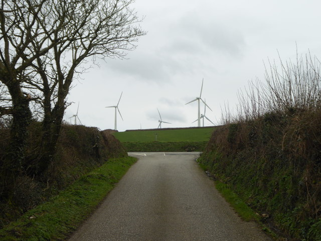
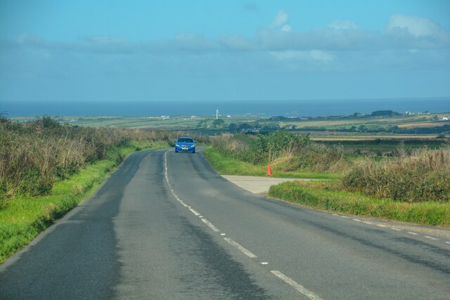
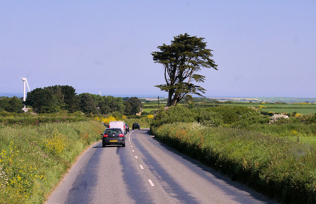
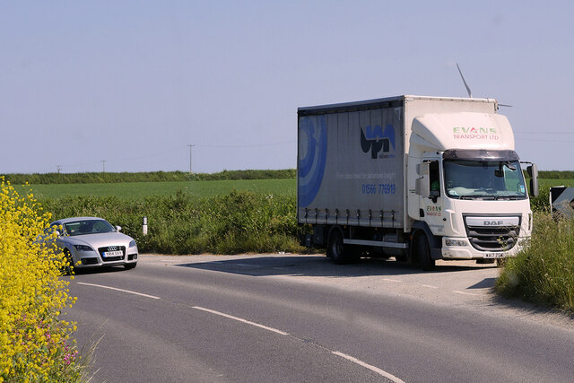
Bear's Downs Images

Images are sourced within 2km of 50.474228/-4.9627799 or Grid Reference SW8968. Thanks to Geograph Open Source API. All images are credited.

The B3274 near Bogee Farm Wind turbines in the Bears Down cluster can be seen on the horizon
The B3274 near Bogee Farm
Wind turbines in the Bears Down cluster can be seen on the horizon
St. Ervan: fields of Bogee Farm Looking across fields from a gateway at a bend in the B3274. The centre of the road just behind us marks the boundary of the parishes of St. Ervan and St. Issey.
St. Ervan: fields of Bogee Farm
Looking across fields from a gateway at a bend in the B3274. The centre of the road just behind us marks the boundary of the parishes of St. Ervan and St. Issey.
The Lane at Music Water
View at Denzell Downs Triangulation Pillar Looking northward.
View at Denzell Downs Triangulation Pillar
Looking northward.
Fenceline and hedge separating fields on Denzell Downs Looking south-westward.
Fenceline and hedge separating fields on Denzell Downs
Looking south-westward.
Turning off B3274, Trelow Downs I'm not sure what the turning leads to: a storage depot or a landfill site, perhaps? Much of the downs in the background is access land.
Turning off B3274, Trelow Downs
I'm not sure what the turning leads to: a storage depot or a landfill site, perhaps? Much of the downs in the background is access land.
Wind turbines near Higher Trevibban Farm On farmland north of the farm and northeast of Trelow Downs. Seen from the B3274.
Wind turbines near Higher Trevibban Farm
On farmland north of the farm and northeast of Trelow Downs. Seen from the B3274.
Minor road junction on the edge of Bear's Downs Behind can be seen some of the turbines on the massive Bear's Downs Wind Farm, currently (February 2020) the most powerful in the south west of England.
Minor road junction on the edge of Bear's Downs
Behind can be seen some of the turbines on the massive Bear's Downs Wind Farm, currently (February 2020) the most powerful in the south west of England.
Wind turbines, St Mawgan The eastern end of the Bear's Down array of turbines.
Wind turbines, St Mawgan
The eastern end of the Bear's Down array of turbines.
Rumford : B3274 Looking along the B3274.
Rumford : B3274
Looking along the B3274.
St Eval : Road A road off the B3274.
St Eval : Road
A road off the B3274.
St Eval : B3274 Looking along the B3274.
St Eval : B3274
Looking along the B3274.
St Eval : B3274 Looking along the B3274.
St Eval : B3274
Looking along the B3274.
St Eval : B3274 Looking along the B3274.
St Eval : B3274
Looking along the B3274.
St Columb Major : B3274 Looking along the B3274.
St Columb Major : B3274
Looking along the B3274.
B3274, St Ervan
B3274, St Ervan
St Ervan, B3274
St Ervan, B3274
Van parked on the B3274 near Bogee Farm
Show me another place!

Bear's Downs is located at Grid Ref: SW8968 (Lat: 50.474228, Lng: -4.9627799)

Unitary Authority: Cornwall

Police Authority: Devon and Cornwall

What 3 Words

///inform.costly.overcomes. Near St Columb Major, Cornwall

Nearby Locations

Bear's Downs

Related Wikis

St Eval

St Eval (Cornish: S. Uvel) is a civil parish and hamlet in north Cornwall, England, United Kingdom. The hamlet is about four miles (6.5 km) southwest of...

St Columb Major Rural District

St Columb Major Rural District was a local government division of Cornwall in England, UK, between 1894 and 1934. Established under the Local Government...

Rumford, Cornwall

Rumford is a hamlet in Cornwall, England. Rumford is in the civil parish of St Ervan. The telephone area code for Rumford is 01841. == References ==

St Ervan

St Ervan is a rural civil parish and hamlet in Cornwall, England, United Kingdom. The hamlet is situated three miles (5 km) southwest of Padstow. St Ervan...

Nearby Amenities

Located within 500m of 50.474228,-4.9627799
Generator Method: wind_turbine
Generator Source: wind
Generator Type: horizontal_axis
Power: generator
Lat/Long: 50.4712461/-4.959378
Generator Method: wind_turbine
Generator Source: wind
Generator Type: horizontal_axis
Power: generator
Lat/Long: 50.4716473/-4.9653749
Generator Method: wind_turbine
Generator Source: wind
Generator Type: horizontal_axis
Power: generator
Lat/Long: 50.4717212/-4.9575332
Generator Method: wind_turbine
Generator Source: wind
Generator Type: horizontal_axis
Power: generator
Lat/Long: 50.4722069/-4.9631188
Generator Method: wind_turbine
Generator Source: wind
Generator Type: horizontal_axis
Power: generator
Lat/Long: 50.4722333/-4.9602986
Generator Method: wind_turbine
Generator Source: wind
Generator Type: horizontal_axis
Power: generator
Lat/Long: 50.4728615/-4.9655408
Generator Method: wind_turbine
Generator Source: wind
Generator Type: horizontal_axis
Power: generator
Lat/Long: 50.4731888/-4.9616258
Generator Method: wind_turbine
Generator Source: wind
Generator Type: horizontal_axis
Power: generator
Lat/Long: 50.4737695/-4.9636081
Generator Method: wind_turbine
Generator Source: wind
Generator Type: horizontal_axis
Power: generator
Lat/Long: 50.473949/-4.966279
Generator Method: wind_turbine
Generator Source: wind
Generator Type: horizontal_axis
Power: generator
Lat/Long: 50.4751371/-4.9660882
Place: farm
Lat/Long: 50.4757036/-4.956538
The data included in this document is from www.openstreetmap.org. The data is made available under ODbL.

Have you been to Bear's Downs?

Leave your review of Bear's Downs below (or comments, questions and feedback).