Bad Rabhain Mòr
Downs, Moorland in Ross-shire
Scotland
Bad Rabhain Mòr

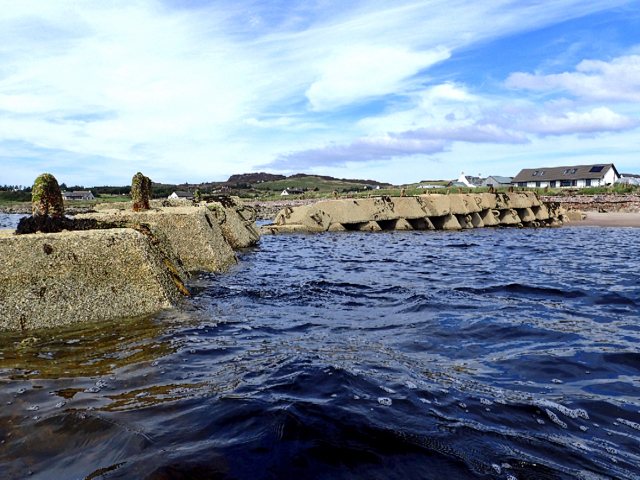
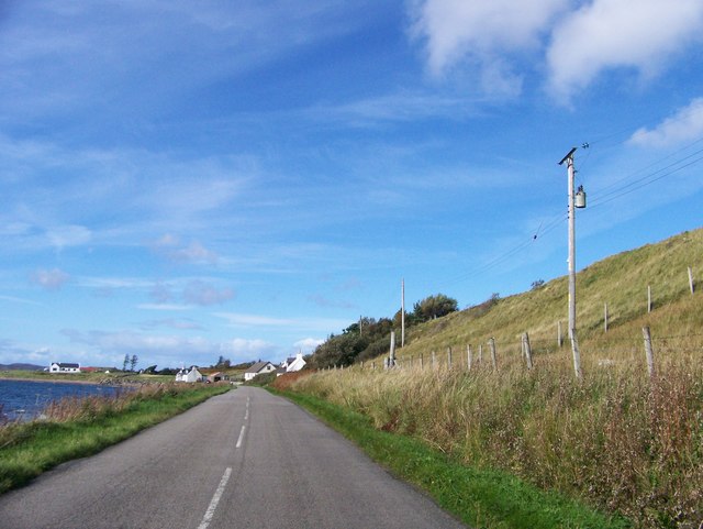
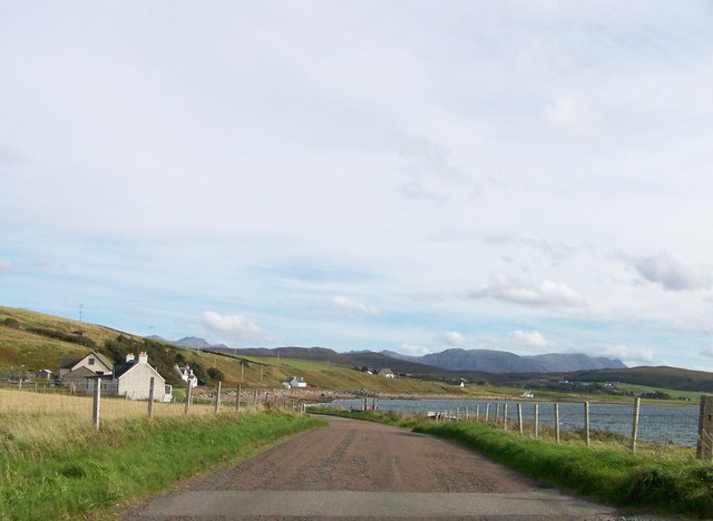
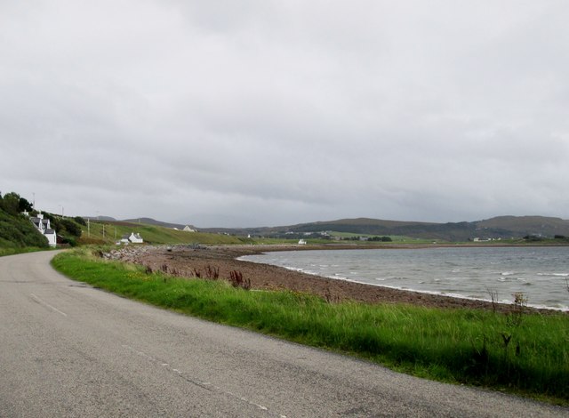
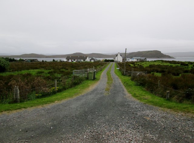
Bad Rabhain Mòr is a picturesque area located in Ross-shire, Scotland. Situated in the northern part of the country, it is characterized by its stunning downs and moorland landscapes. The name "Bad Rabhain Mòr" originates from Gaelic, with "Bad" meaning "ford," and "Rabhain Mòr" referring to the specific location.
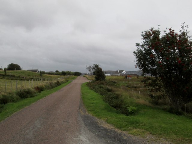
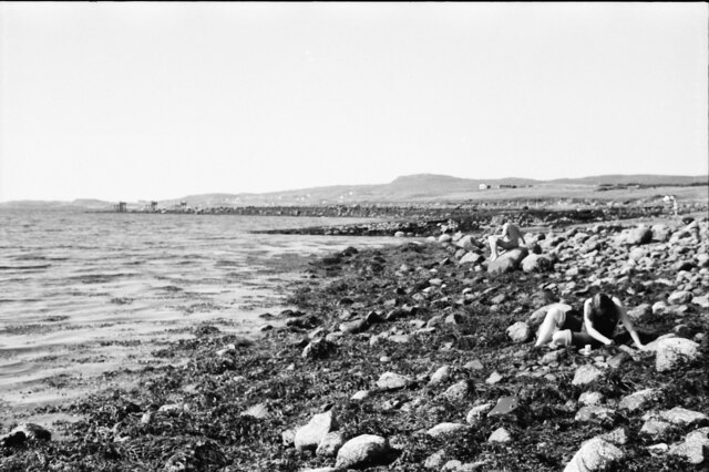
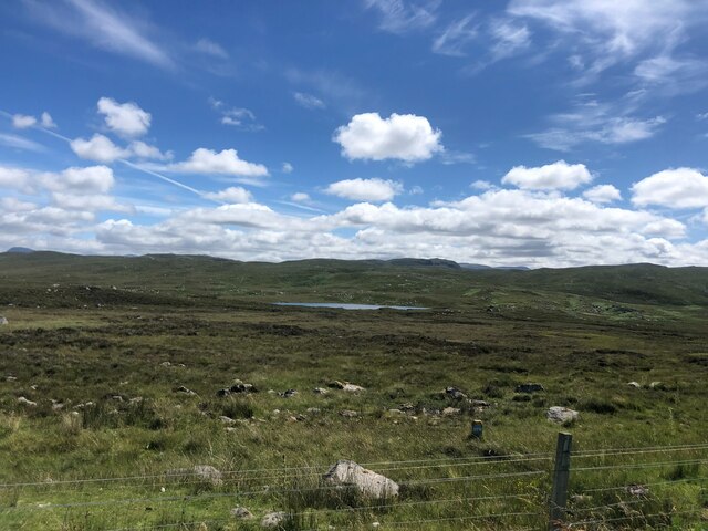
The downs of Bad Rabhain Mòr are known for their rolling hills and lush greenery. The area is rich in diverse plant and animal life, making it an ideal destination for nature enthusiasts. Visitors can explore the beautiful trails that wind through the downs, offering breathtaking views of the surrounding countryside.
The moorland in Bad Rabhain Mòr is equally captivating, with vast expanses of open terrain dotted with heather and other wildflowers. The rugged landscape provides a haven for various bird species, including grouse and eagles. This makes it a popular spot for birdwatchers and wildlife photographers.
The tranquility of Bad Rabhain Mòr's downs and moorland offers a peaceful escape from the hustle and bustle of everyday life. Visitors can immerse themselves in the natural beauty of the area, taking in the fresh air and enjoying the solitude.
In addition to its natural allure, Bad Rabhain Mòr is also home to historical sites and cultural landmarks. The area has ancient ruins and archaeological sites that offer a glimpse into its rich history. Local communities celebrate their heritage through traditional events and festivals, providing visitors with an opportunity to experience the vibrant culture of the region.
Overall, Bad Rabhain Mòr in Ross-shire is a captivating destination that combines stunning downs, moorland landscapes, and a rich cultural heritage. Whether one seeks outdoor adventures or a peaceful retreat, this area offers something for everyone.
If you have any feedback on the listing, please let us know in the comments section below.
Bad Rabhain Mòr Images
Images are sourced within 2km of 57.853941/-5.5868972 or Grid Reference NG8790. Thanks to Geograph Open Source API. All images are credited.


Bad Rabhain Mòr is located at Grid Ref: NG8790 (Lat: 57.853941, Lng: -5.5868972)
Unitary Authority: Highland
Police Authority: Highlands and Islands
What 3 Words
///steps.player.jolt. Near Gairloch, Highland
Nearby Locations
Related Wikis

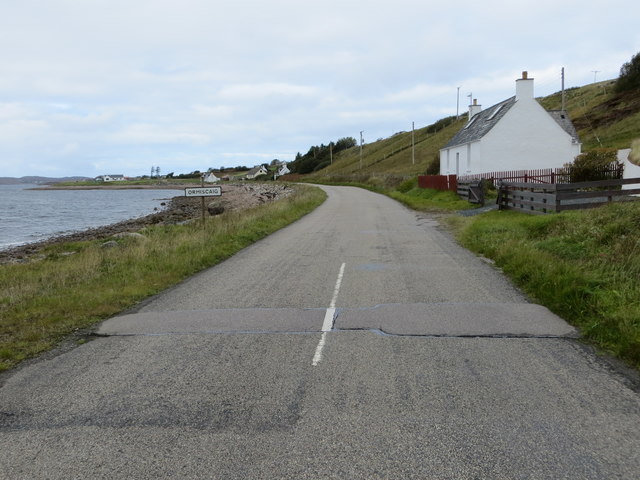
Ormiscaig
Ormiscaig (Scottish Gaelic: Ormasgaig) is a remote crofting village on the north east shore of Loch Ewe in Achnasheen, Ross-shire, Scottish Highlands and...

Aultbea
Aultbea (Gaelic: An t-Allt Beithe) is a small coastal fishing village in the North-West Highlands of Scotland. It is situated on the southeast shore of...

Mellon Charles
Mellon Charles (Scottish Gaelic: Meallan Theàrlaich) is a remote crofting village on the north east shore of Loch Ewe near Gairloch in Wester Ross, in...

Loch Ewe distillery
Loch Ewe distillery in Drumchork near Aultbea in the Scottish Highlands was the smallest legally operated distillery in Scotland. It was set up in 2005...
Nearby Amenities
Located within 500m of 57.853941,-5.5868972Have you been to Bad Rabhain Mòr?
Leave your review of Bad Rabhain Mòr below (or comments, questions and feedback).