Doire Dhonn
Downs, Moorland in Ross-shire
Scotland
Doire Dhonn

Doire Dhonn, located in Ross-shire, is a beautiful area known for its downs and moorland. Situated amidst the stunning Scottish Highlands, Doire Dhonn offers breathtaking landscapes and a tranquil atmosphere for nature lovers and outdoor enthusiasts.
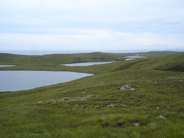
The downs of Doire Dhonn are characterized by rolling hills covered in lush green grass and scattered with wildflowers, creating a picturesque setting that is perfect for leisurely walks or picnics. These downs provide a sense of serenity and escape from the bustling city life. The undulating terrain also offers a challenge for hikers and runners who can explore the area's numerous trails and paths.
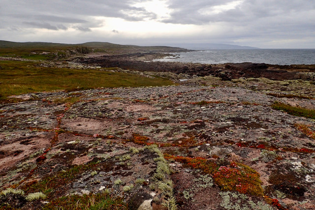
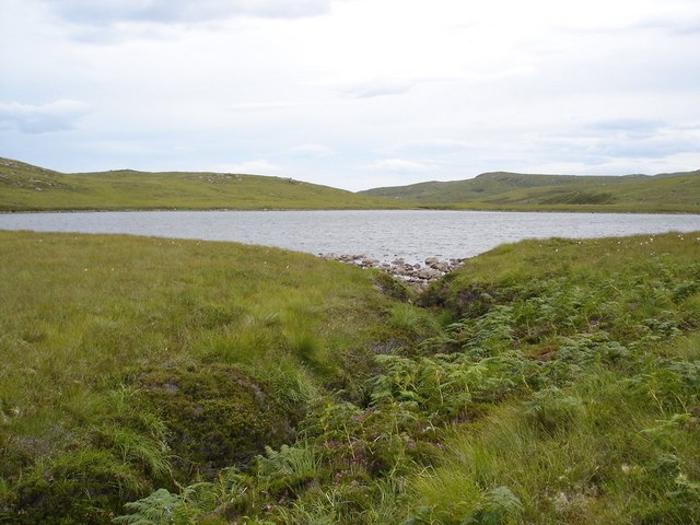
The moorland of Doire Dhonn is an expansive stretch of open land covered in heather and scattered with small lochs. This unique ecosystem supports a diverse range of flora and fauna, including various bird species, such as the red grouse and golden plover. The moorland is also home to deer and other wildlife, making it a popular spot for wildlife enthusiasts and photographers.
For those interested in history and archaeology, Doire Dhonn boasts several ancient sites, including standing stones and burial mounds, which provide a glimpse into the area's rich past.
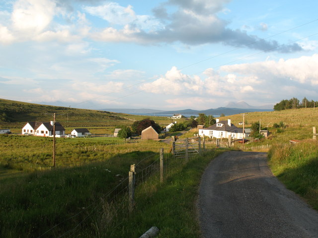
Visitors to Doire Dhonn can also enjoy activities such as fishing in the nearby rivers, cycling on the country lanes, or simply taking in the stunning panoramic views. The area is well-connected with nearby towns and villages, offering a range of accommodation options and local amenities.
In conclusion, Doire Dhonn in Ross-shire is a captivating destination that showcases the natural beauty of downs and moorland. With its peaceful ambiance and diverse recreational opportunities, it is a must-visit for nature enthusiasts and those seeking a retreat in the Scottish Highlands.
If you have any feedback on the listing, please let us know in the comments section below.
Doire Dhonn Images
Images are sourced within 2km of 57.905582/-5.636648 or Grid Reference NG8496. Thanks to Geograph Open Source API. All images are credited.


Doire Dhonn is located at Grid Ref: NG8496 (Lat: 57.905582, Lng: -5.636648)
Unitary Authority: Highland
Police Authority: Highlands and Islands
What 3 Words
///general.pairings.entitle. Near Gairloch, Highland
Nearby Locations
Related Wikis

Rubha Mòr
Rubha Mòr is a remote peninsula in west Scotland, in the western region of Ross and Cromarty. The peninsula stretches from Greenstone Point in the north...
Opinan, Laide, Highland
Opinan is a remote scattered crofting hamlet, in Achnasheen, Ross-shire, Scottish Highlands and is in the Scottish council area of Highland. The village...

Mellon Udrigle
Mellon Udrigle (Scottish Gaelic: Meallan Ùdraigil or Na Meall) is a small remote coastal tourist, fishing and crofting hamlet on the north west coast of...
Achgarve
Achgarve (Scottish Gaelic: An t-Achadh Garbh - the rough field) is a small coastal crofting and fishing hamlet, situated between Gruinard Bay and Loch...

Mellon Charles
Mellon Charles (Scottish Gaelic: Meallan Theàrlaich) is a remote crofting village on the north east shore of Loch Ewe near Gairloch in Wester Ross, in...
Ormiscaig
Ormiscaig (Scottish Gaelic: Ormasgaig) is a remote crofting village on the north east shore of Loch Ewe in Achnasheen, Ross-shire, Scottish Highlands and...

Laide
Laide (Scottish Gaelic: An Leathad) is a small village in the northwest of the Highlands of Scotland. It is situated on the southern shore of Gruinard...

Cove, Highland
Cove is a remote hamlet located on the northwestern shore of the sea loch Loch Ewe, and 8 mi (13 km) northwest of Poolewe in Ross-shire, Scottish Highlands...
Nearby Amenities
Located within 500m of 57.905582,-5.636648Have you been to Doire Dhonn?
Leave your review of Doire Dhonn below (or comments, questions and feedback).