Pairc a' Chamuis Dhrisich
Downs, Moorland in Inverness-shire
Scotland
Pairc a' Chamuis Dhrisich
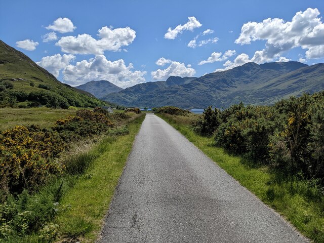
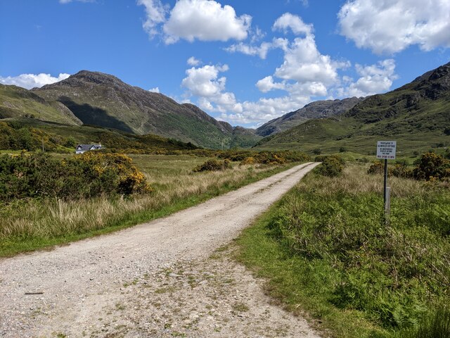
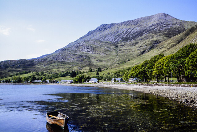
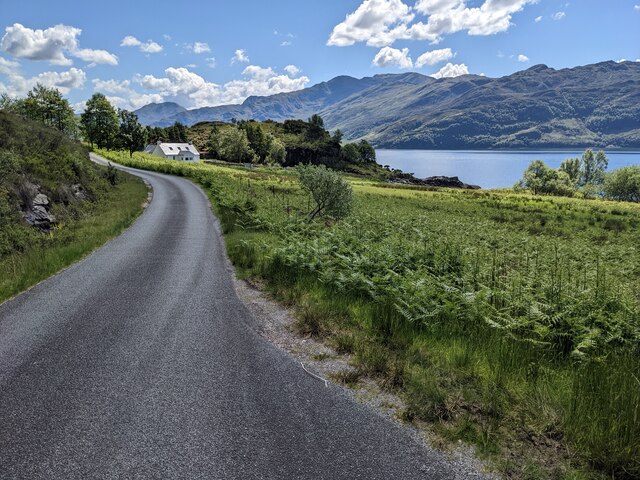
Pairc a' Chamuis Dhrisich is a picturesque area located in Inverness-shire, Scotland. Situated in the stunning Highlands, this region is known for its breathtaking natural beauty and diverse landscapes. The name "Pairc a' Chamuis Dhrisich" translates to "The Field of the Broken Ridge" in English.
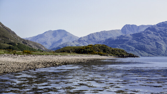
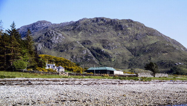
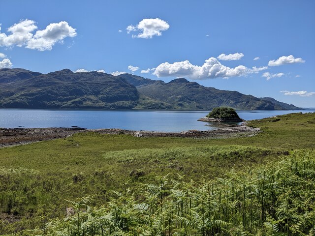
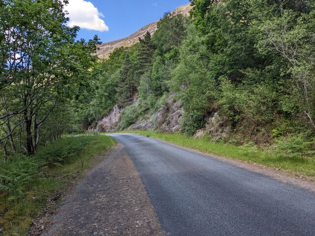
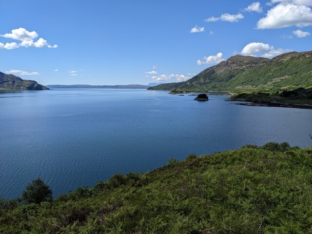
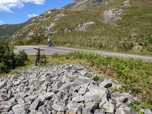
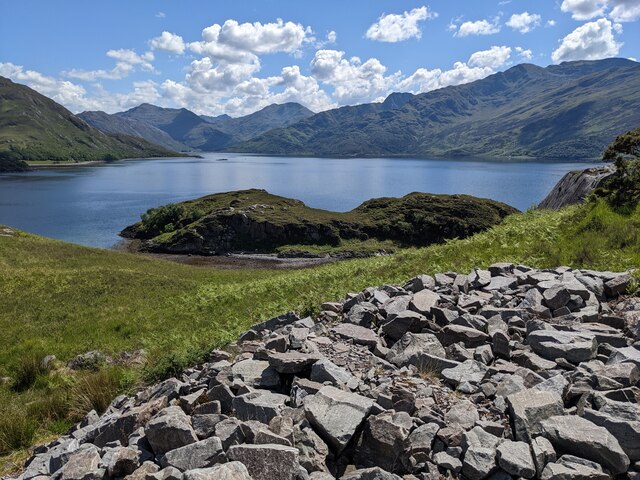
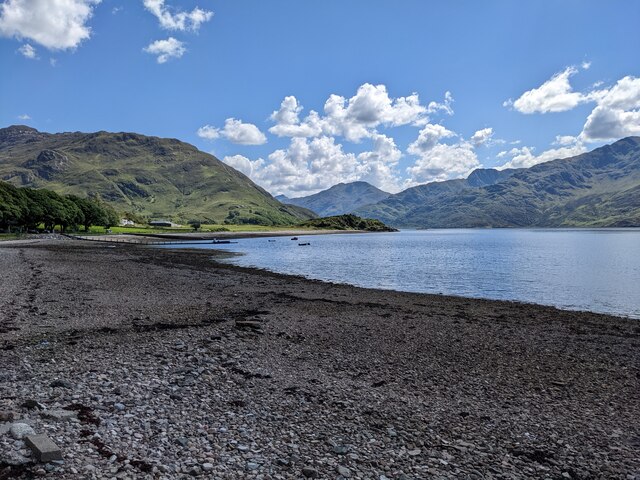
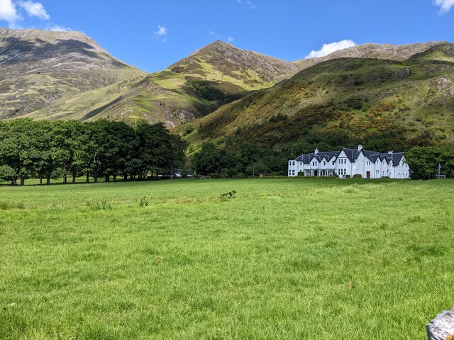
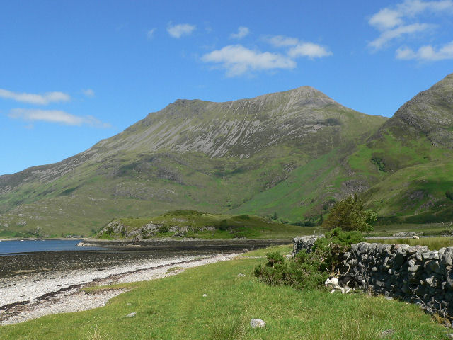
This area is characterized by its rolling downs and expansive moorland. The downs, also known as low hills, are covered in lush green grass, providing a tranquil and idyllic setting. The moorland, on the other hand, offers a more rugged and wild landscape, with its heather-covered hills and rocky outcrops.
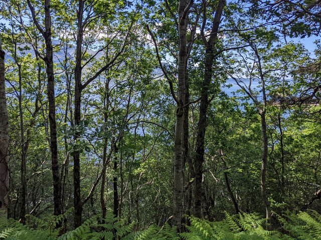
Pairc a' Chamuis Dhrisich is home to a wide variety of flora and fauna. The downs are dotted with vibrant wildflowers, creating a colorful and vibrant display. The moorland, with its heather, grasses, and mosses, supports a diverse range of wildlife. Visitors may be lucky enough to spot red deer, golden eagles, or even the elusive Scottish wildcat.
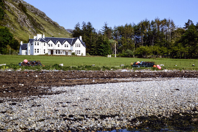
The area is also rich in history and heritage. Ruins of ancient settlements and burial sites can be found scattered throughout the landscape, providing a glimpse into the past. The nearby town of Inverness offers opportunities for exploring castles, museums, and other cultural attractions.
Whether it's the peaceful downs or the rugged moorland, Pairc a' Chamuis Dhrisich offers visitors a chance to immerse themselves in the natural beauty of the Scottish Highlands while also experiencing its rich history and wildlife.
If you have any feedback on the listing, please let us know in the comments section below.
Pairc a' Chamuis Dhrisich Images
Images are sourced within 2km of 57.139372/-5.5737615 or Grid Reference NG8311. Thanks to Geograph Open Source API. All images are credited.
Pairc a' Chamuis Dhrisich is located at Grid Ref: NG8311 (Lat: 57.139372, Lng: -5.5737615)
Unitary Authority: Highland
Police Authority: Highlands and Islands
What 3 Words
///name.duet.readers. Near Glenelg, Highland
Nearby Locations
Related Wikis

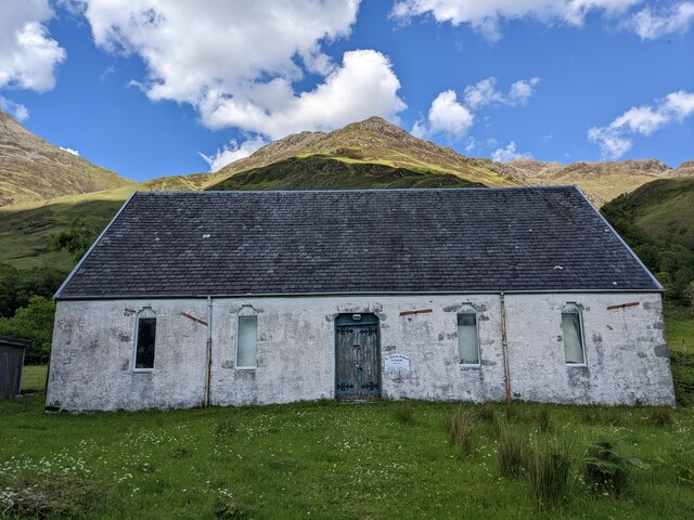
Arnisdale Free Church
Arnisdale Free Church is a church building at one time connected to the Free Church of Scotland. It is sited in Arnisdale, Inverness-shire, Scotland. According...

Arnisdale
Arnisdale (Scottish Gaelic: Àrnasdal) is a hamlet in the historic county of Inverness-shire in the local authority area of Highlands of Scotland. It lies...
Beinn Sgritheall
Beinn Sgritheall or Beinn an Sgrithill (Scottish Gaelic for 'scree mountain'), also anglicized Ben Sgriol, is the highest mountain on the Glenelg peninsula...

Loch Hourn
Loch Hourn (Scottish Gaelic: Loch Shubhairne) is a sea loch which separates the peninsulas of Glenelg to the north and Knoydart to the south, on the west...
Nearby Amenities
Located within 500m of 57.139372,-5.5737615Have you been to Pairc a' Chamuis Dhrisich?
Leave your review of Pairc a' Chamuis Dhrisich below (or comments, questions and feedback).