Boskenwyn Downs
Downs, Moorland in Cornwall
England
Boskenwyn Downs

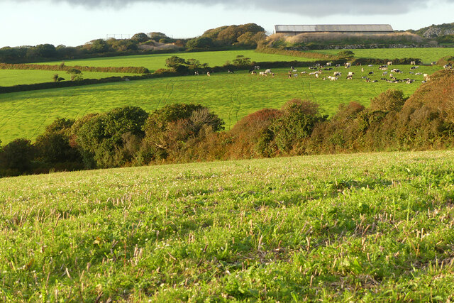
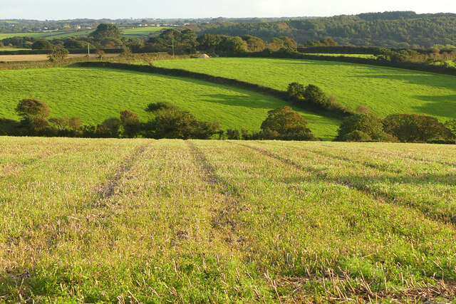
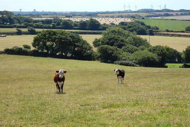
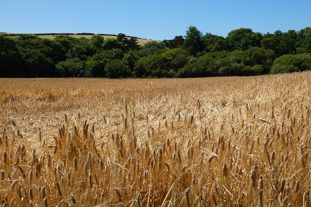
Boskenwyn Downs is a vast area of moorland located in Cornwall, England. Covering over 500 acres, it is a popular destination for hikers, birdwatchers, and nature enthusiasts. The moorland is characterized by its rolling hills, rocky outcrops, and diverse flora and fauna.
Boskenwyn Downs is home to a variety of wildlife, including rare bird species such as the red kite and the skylark. The landscape is dotted with ancient stone circles and burial mounds, providing a glimpse into the area's rich history. Visitors can also enjoy stunning views of the surrounding countryside and coastline from the higher vantage points on the moorland.
The moorland is crisscrossed with a network of walking trails, making it easy for visitors to explore the area on foot. There are also opportunities for horseback riding and mountain biking. Additionally, Boskenwyn Downs is a designated Area of Outstanding Natural Beauty, ensuring that its unique landscape and wildlife are protected for future generations to enjoy.
If you have any feedback on the listing, please let us know in the comments section below.
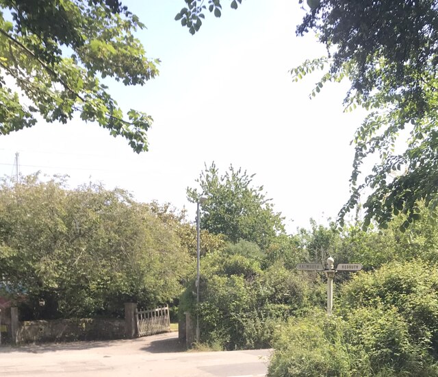
Boskenwyn Downs Images
Images are sourced within 2km of 50.100866/-5.2229645 or Grid Reference SW6927. Thanks to Geograph Open Source API. All images are credited.


Boskenwyn Downs is located at Grid Ref: SW6927 (Lat: 50.100866, Lng: -5.2229645)
Unitary Authority: Cornwall
Police Authority: Devon and Cornwall
What 3 Words
///outdoors.invested.galloped. Near Helston, Cornwall
Nearby Locations
Related Wikis
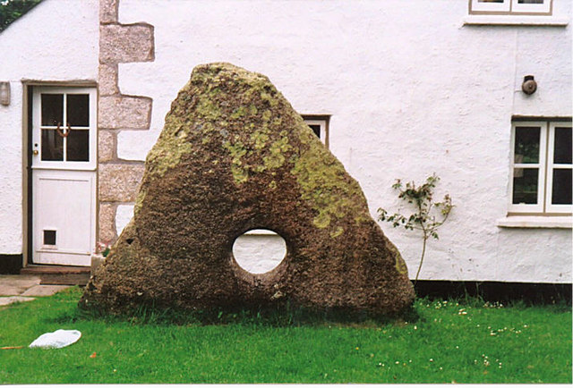
Tolvan holed stone
The Tolvan holed stone is a triangular-shaped Neolithic standing stone. The monument is 2.3 m high and consists of a circular hole near its base measuring...
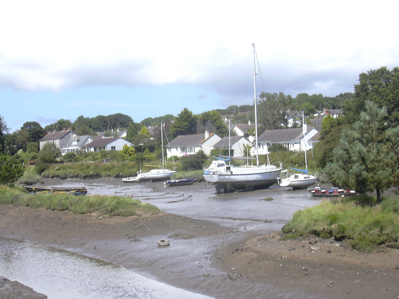
Gweek
Gweek (Cornish: Gwig, meaning forest village) is a civil parish and village in Cornwall, England, United Kingdom. It is situated approximately three miles...
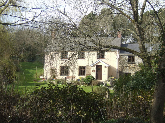
Mellangoose
Mellangoose is a hamlet in the parish of Mawgan-in-Meneage, Cornwall, England.A site in Mellangoose is described as a Plen-an-gwary where the famous Cornish...

Cornish Seal Sanctuary
The Cornish Seal Sanctuary is a sanctuary for injured seal pups, and is owned by The SEA LIFE Trust. The centre is on the banks of the Helford River in...
Nearby Amenities
Located within 500m of 50.100866,-5.2229645Have you been to Boskenwyn Downs?
Leave your review of Boskenwyn Downs below (or comments, questions and feedback).