Arisaig

Downs, Moorland in Inverness-shire

Scotland

Arisaig

Inlet off Loch nan Uamh Taken from the end of a narrow lane that ends at this point. Not a good place to come by car and expect to find a turning space. Worth the visit to see the black throated diver.
Inlet off Loch nan Uamh Credit: Gordon Hatton

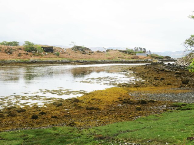
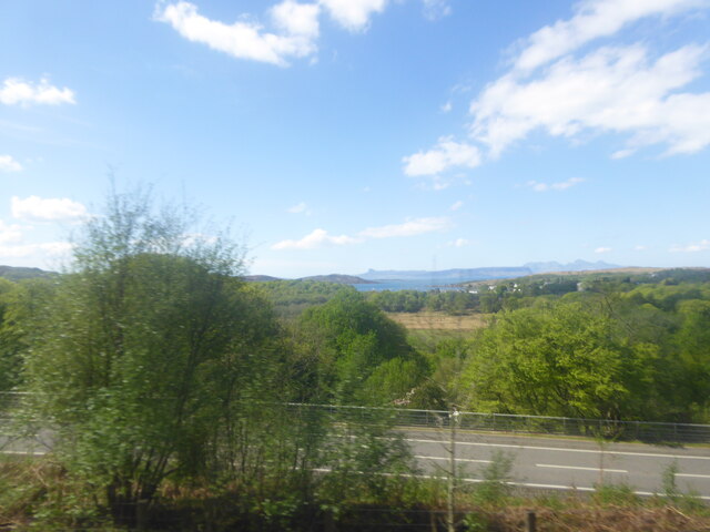
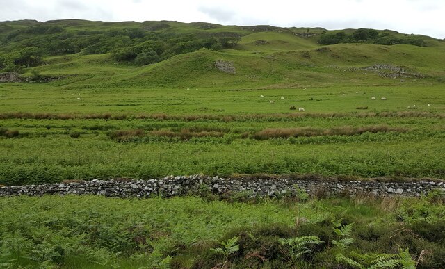
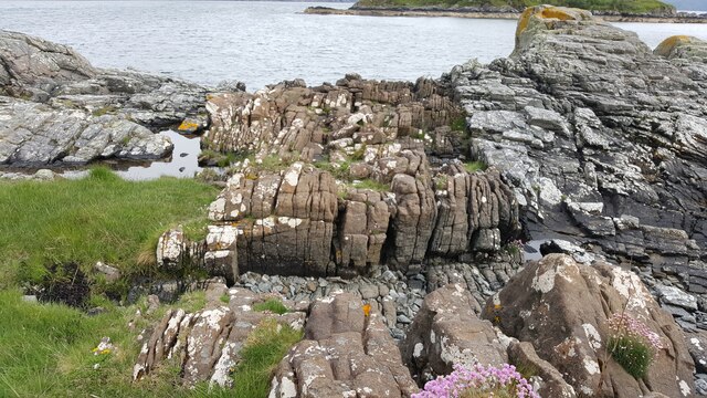
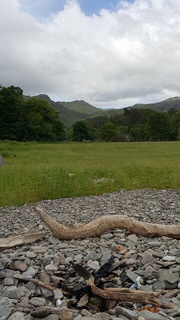
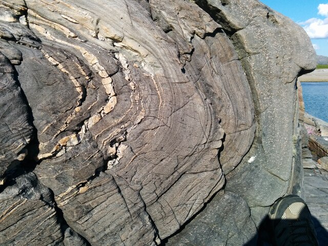
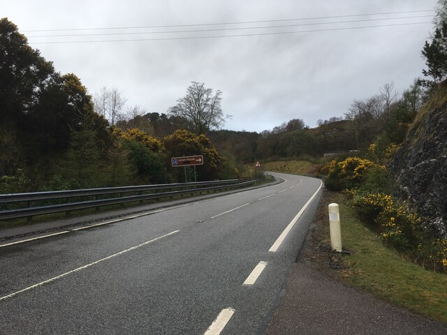
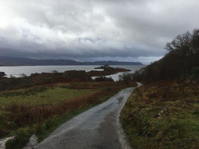
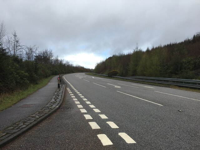
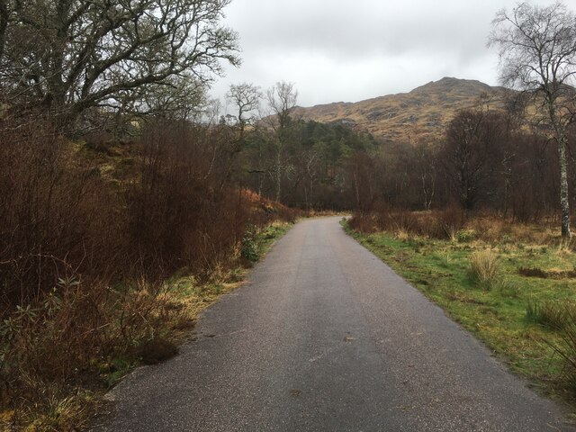
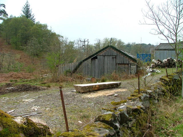
Arisaig is a small coastal village located in the Inverness-shire region of Scotland. Situated on the west coast, it offers breathtaking views of the Atlantic Ocean and is surrounded by stunning natural landscapes including downs and moorland.

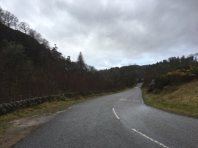
With a population of around 300 residents, Arisaig is known for its peaceful and tranquil atmosphere. The village is home to a few local businesses, including a grocery store, post office, and a couple of traditional Scottish pubs. Visitors can enjoy a relaxed and friendly ambiance while exploring the village's charming streets.

One of the main attractions in Arisaig is its beautiful sandy beaches, which are considered some of the finest in Scotland. The crystal-clear waters and pristine white sand make it a popular spot for sunbathing, swimming, and beachcombing. Additionally, the village serves as a gateway to the nearby Small Isles, including the picturesque Isle of Eigg and Isle of Rum, which can be reached by ferry.

For outdoor enthusiasts, Arisaig offers a range of activities. The surrounding downs and moorland provide excellent opportunities for hiking, biking, and wildlife spotting. The area is home to a diverse range of flora and fauna, including red deer, golden eagles, and pine martens.

Overall, Arisaig is a hidden gem in Inverness-shire, offering a peaceful retreat for those seeking natural beauty, outdoor adventures, and a glimpse into traditional Scottish village life.

If you have any feedback on the listing, please let us know in the comments section below.
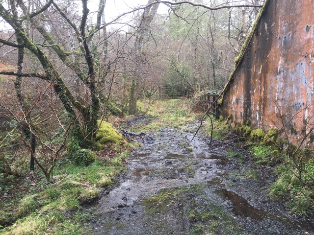
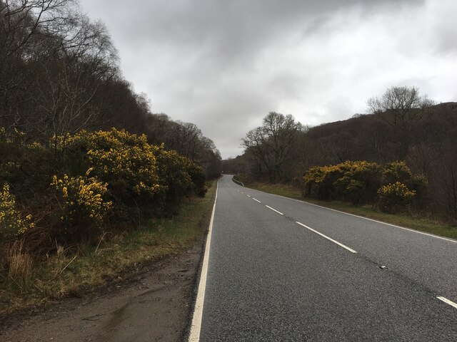
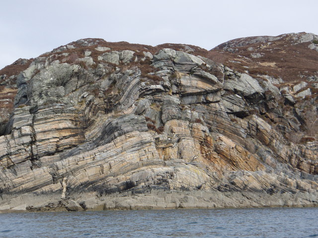
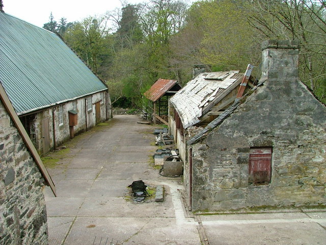
Arisaig Images

Images are sourced within 2km of 56.898511/-5.8076324 or Grid Reference NM6885. Thanks to Geograph Open Source API. All images are credited.

Inlet off Loch nan Uamh Taken from the end of a narrow lane that ends at this point. Not a good place to come by car and expect to find a turning space. Worth the visit to see the black throated diver.
Inlet off Loch nan Uamh
Taken from the end of a narrow lane that ends at this point. Not a good place to come by car and expect to find a turning space. Worth the visit to see the black throated diver.
The A830 adjacent to the West Highland Railway below Carn Mor
View of railway from above Borrodale tunnel View of single-track railway to Mallaig taken from above Borrodale tunnel
View of railway from above Borrodale tunnel
View of single-track railway to Mallaig taken from above Borrodale tunnel
Raised beach inland from Camas Ghaoideil Flat farm land is the location of a fossil raised beach inland from Camas Ghaoideil
Raised beach inland from Camas Ghaoideil
Flat farm land is the location of a fossil raised beach inland from Camas Ghaoideil
Geological dyke on shore of Rubha Aird Mhoir Rocky foreshore showing a sheet of brown igneous rock cutting grey Moine metamorphic rocks
Geological dyke on shore of Rubha Aird Mhoir
Rocky foreshore showing a sheet of brown igneous rock cutting grey Moine metamorphic rocks
Flat raised beach near Druimdarroch, below Arisaig House Flat grassland on a raised beach, near Arisaig House
Flat raised beach near Druimdarroch, below Arisaig House
Flat grassland on a raised beach, near Arisaig House
Spectacular folded rocks on foreshore Foreshore near Druimindarroch showing spectacular fold within metamorphosed Moine rocks.
Spectacular folded rocks on foreshore
Foreshore near Druimindarroch showing spectacular fold within metamorphosed Moine rocks.
No through road to Borrodale
A830 towards Mallaig
Road to Druimindarroch
A830 towards Mallaig
Gated road to Carnach
Rough track under Larichmore Viaduct
A830 towards Beasdale
Rock Formations Rock formations taken at the narrows between An Garbh eilean and the mainland.
Rock Formations
Rock formations taken at the narrows between An Garbh eilean and the mainland.
Farmyard at Borrodale House farm
Buildings at Borrodale House farm
Tiny building near Borrodale House Looks like it's probably been some kind of animal shelter.
Tiny building near Borrodale House
Looks like it's probably been some kind of animal shelter.
Show me another place!

Arisaig is located at Grid Ref: NM6885 (Lat: 56.898511, Lng: -5.8076324)

Unitary Authority: Highland

Police Authority: Highlands and Islands

What 3 Words

///spark.basics.forkful. Near Arisaig, Highland

Related Wikis

Druimindarroch

Druimindarroch (Scottish Gaelic: Druim nan Darach) is a small settlement which lies on the north coast of Loch nan Uamh in Lochaber, Scottish Highlands...

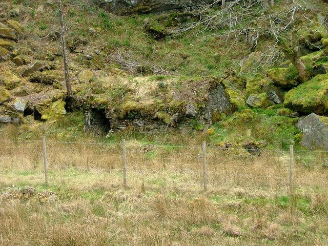
Prince Charlie's Cave

There are many Prince Charlies Caves in the Highlands, caves where Charles Edward Stuart was said to have sheltered when on the run from the Duke of Cumberland...
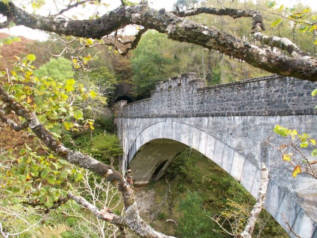
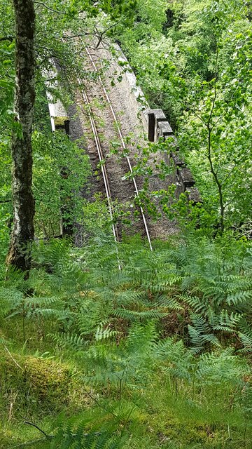
Borrodale Viaduct

The Borrodale Viaduct is a railway viaduct that carries the West Highland Line over the Borrodale Burn. == History == The West Highland Railway was built...

Larichmore Viaduct

The Larichmore Viaduct is a railway viaduct in Scotland that carries the West Highland Line over the Brunery Burn. == History == The West Highland Railway...

Have you been to Arisaig?

Leave your review of Arisaig below (or comments, questions and feedback).