Bolenowe Moor

Downs, Moorland in Cornwall

England

Bolenowe Moor

Wheal Grenville Fortesque's shaft and whim The impressive engine house at Fortesque's shaft with the drawing whim beyond. See
<a title="https://www.geograph.org.uk/photo/4131867" href="https://www.geograph.org.uk/photo/4131867">Link</a> for more details.
Wheal Grenville Fortesque's shaft and whim Credit: Richard Bird

Bolenowe Moor is a picturesque area located in Cornwall, England, known for its stunning natural beauty and diverse wildlife. Covering an area of approximately 1,500 acres, this moorland is nestled within the larger area known as the Downs. It offers a unique and unspoiled landscape that attracts nature enthusiasts and hikers alike.

The moorland features a variety of habitats, including heathland, grassland, and wetland areas. These different environments support a wide array of plant and animal species. Visitors to Bolenowe Moor can expect to encounter native wildlife such as European adders, common lizards, and various species of birds, including skylarks and stonechats.

The area's diverse plant life includes heather, gorse, and bracken, which create a vibrant and colorful landscape. Bolenowe Moor is also home to several rare and protected species, such as the marsh fritillary butterfly and the southern damselfly. These unique species contribute to the moor's ecological significance.

The moorland is crisscrossed by a network of footpaths and trails, making it an ideal location for walking and exploring the countryside. Visitors can enjoy breathtaking views from elevated points, take in the tranquil atmosphere, and immerse themselves in the natural surroundings.

Bolenowe Moor is a designated Site of Special Scientific Interest (SSSI) due to its ecological importance and conservation value. It is managed by local authorities and organizations to ensure the preservation of its natural heritage. A visit to Bolenowe Moor promises a memorable experience, showcasing the beautiful and diverse landscapes that Cornwall has to offer.

If you have any feedback on the listing, please let us know in the comments section below.

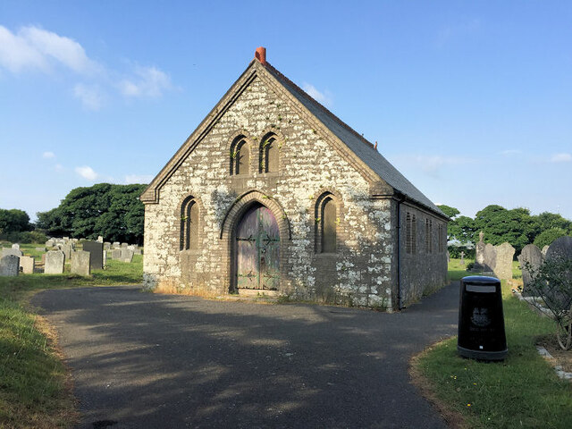
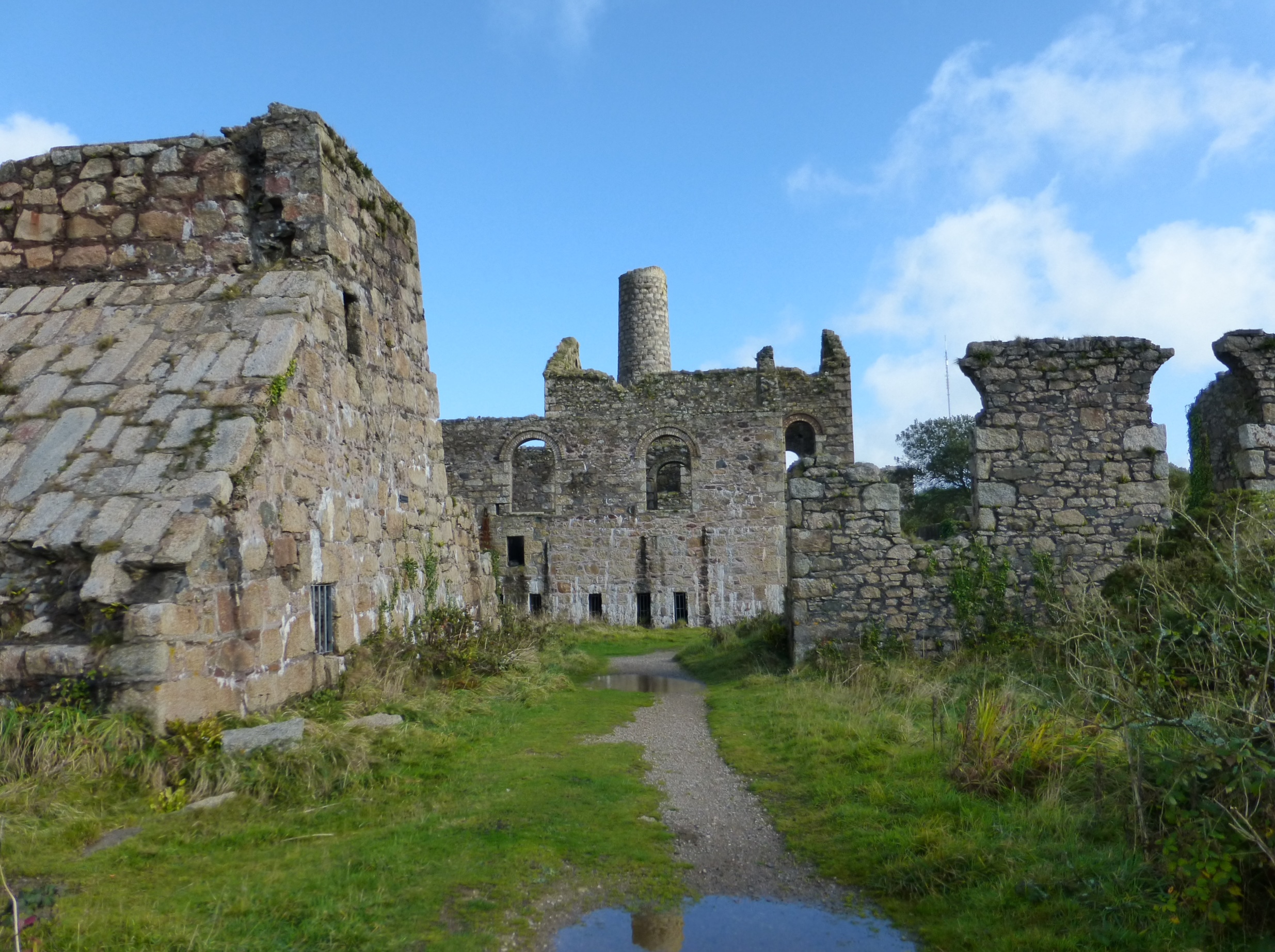
Bolenowe Moor Images

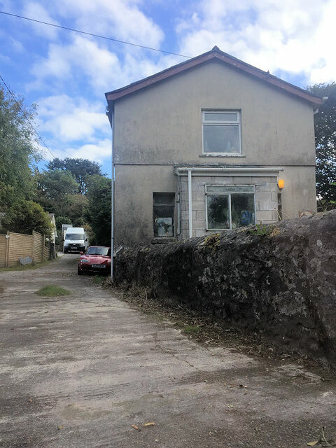
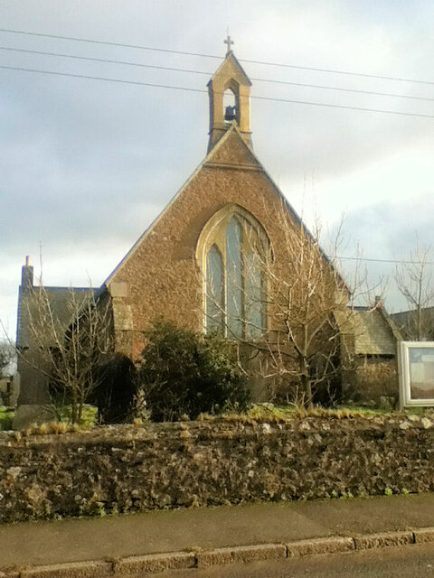
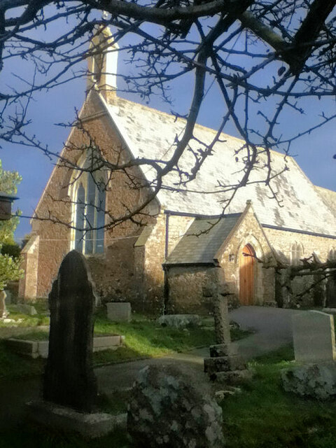
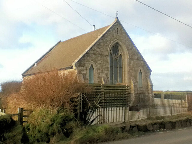
Images are sourced within 2km of 50.199659/-5.2597653 or Grid Reference SW6738. Thanks to Geograph Open Source API. All images are credited.

Wheal Grenville Fortesque's shaft and whim The impressive engine house at Fortesque's shaft with the drawing whim beyond. See
<a title="https://www.geograph.org.uk/photo/4131867" href="https://www.geograph.org.uk/photo/4131867">Link</a> for more details.
Wheal Grenville Fortesque's shaft and whim
The impressive engine house at Fortesque's shaft with the drawing whim beyond. See Link for more details.
South Frances Mine ruins Widely regarded as the finest group of mining remains in Cornwall, South Frances is located on the Great Flat Lode. Working into the 1900s this site was the scene of the last-ditch attempt to mine this lode in depth, with an up-to-date new steam pump installed in the cathedral-like ruins. It was intended to eventually sink the shaft to 500 fathoms (3000 feet, 914 metres) but ingress of water from other nearby closed mines caused the mission to be eventually abandoned. The collar of the shaft has been safely covered by a grille which allows a view into the massive brick-lined shaft.  A large ore bin, miners' dry, boiler house and other sundry buildings complete with fine site.
South Frances Mine ruins
Widely regarded as the finest group of mining remains in Cornwall, South Frances is located on the Great Flat Lode. Working into the 1900s this site was the scene of the last-ditch attempt to mine this lode in depth, with an up-to-date new steam pump installed in the cathedral-like ruins. It was intended to eventually sink the shaft to 500 fathoms (3000 feet, 914 metres) but ingress of water from other nearby closed mines caused the mission to be eventually abandoned. The collar of the shaft has been safely covered by a grille which allows a view into the massive brick-lined shaft. A large ore bin, miners' dry, boiler house and other sundry buildings complete with fine site.
Beacon Methodist Church
Former Free United Church
Former Wesleyan Methodist Chapel
Beacon Methodist Church
Carnkie Methodist Church
Carnkie Community Institute
St Andrew's Church
St Andrew's Church
St Andrew's Church
St Andrew's Church
Four Lanes Methodist Church
Former Wesleyan Methodist Chapel
Former Wesleyan Sunday School
Former chapel
Former chapel
Former Mission Church with adjoining Sunday School at left
Troon Methodist Church
Chapel Square leading to Chapel Farm
Troon Cemetery
Troon Cemetery
Show me another place!

Bolenowe Moor is located at Grid Ref: SW6738 (Lat: 50.199659, Lng: -5.2597653)

Unitary Authority: Cornwall

Police Authority: Devon and Cornwall

What 3 Words

///renting.trap.shadowing. Near Four Lanes, Cornwall

Nearby Locations

Grillis Bolenowe Moor

Related Wikis

Bolenowe

Bolenowe (Cornish: Boslenow, meaning dwelling of strip-fields) is a village in west Cornwall, England, United Kingdom. It is approximately one-and-a-half...

Grillis

Grillis is a hamlet in the parish of Carn Brea, Cornwall, England. == References ==
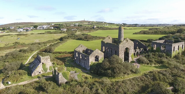
King Edward Mine

The King Edward Mine at Camborne, Cornwall, in the United Kingdom is a mine wholly owned by Cornwall Council. At the end of the 19th century students at...

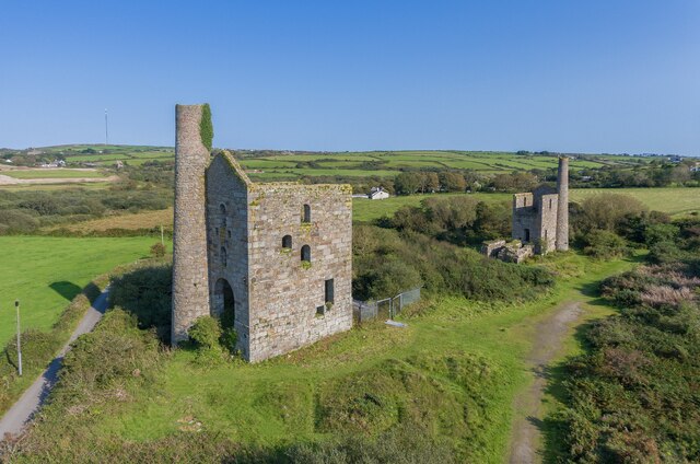
South Wheal Frances Mine

South Wheal Frances is a former mine accessing the copper and tin of the Great Flat Lode south of Camborne in Cornwall, England. == Mine == Mining began...

Piece, Cornwall

Piece is a village in Cornwall, England. == References == Media related to Piece, Cornwall at Wikimedia Commons

Troon, Cornwall

Troon (Cornish: Trewoon) is a village in Cornwall, UK, 1+1⁄2 miles (2.5 kilometres) southeast of Camborne. The village lies at around 560 feet (170 m)...

Carn Arthen

Carn Arthen (Cornish: Karn Arthur, meaning Arthur's rock-pile) is farmstead 1.7 miles (2.7 km) south-east of Camborne near to Tuckingmill in Cornwall,...

Brea, Cornwall

Brea (Cornish: Bre) is a village in Cornwall, England, UK, between the towns of Camborne and Redruth. It is in the civil parish of Carn Brea and consists...

Nearby Amenities

Located within 500m of 50.199659,-5.2597653
Bolenowe
Name Kw: Boslenow
Place: hamlet
Wikidata: Q4939174
Lat/Long: 50.195688/-5.2620632
Place: farm
Lat/Long: 50.1965503/-5.2557822
Barrier: entrance
Lat/Long: 50.2008889/-5.2547184
Barrier: entrance
Lat/Long: 50.1990767/-5.2546661
Barrier: entrance
Lat/Long: 50.2011979/-5.2561909
Barrier: entrance
Lat/Long: 50.2017817/-5.2588704
Barrier: entrance
Lat/Long: 50.2005352/-5.2597261
Barrier: entrance
Lat/Long: 50.2032856/-5.2563894
Barrier: entrance
Lat/Long: 50.2033148/-5.2574408
Barrier: entrance
Lat/Long: 50.1988595/-5.2572933
Barrier: entrance
Lat/Long: 50.1976782/-5.2586572
Barrier: entrance
Lat/Long: 50.2006863/-5.2584332
Barrier: entrance
Lat/Long: 50.1976439/-5.2544153
Barrier: entrance
Lat/Long: 50.2034521/-5.2619201
Barrier: entrance
Lat/Long: 50.20372/-5.2609384
Barrier: entrance
Lat/Long: 50.1971511/-5.2567998
Barrier: entrance
Lat/Long: 50.2010108/-5.2587685
Barrier: entrance
Lat/Long: 50.1989763/-5.2564618
Barrier: entrance
Lat/Long: 50.2008142/-5.2603604
Barrier: entrance
Lat/Long: 50.1980774/-5.2569982
Barrier: entrance
Lat/Long: 50.2018692/-5.2604368
Barrier: entrance
Lat/Long: 50.1975306/-5.2553648
Power: pole
Lat/Long: 50.1955277/-5.2571069
Generator Method: photovoltaic
Generator Output Electricity: small_installation
Generator Source: solar
Generator Type: solar_photovoltaic_panel
Location: roof
Power: generator
Source: bing
Lat/Long: 50.1985831/-5.266282
Generator Method: photovoltaic
Generator Output Electricity: small_installation
Generator Source: solar
Generator Type: solar_photovoltaic_panel
Location: roof
Power: generator
Source: bing
Lat/Long: 50.1953774/-5.2614427
Power: pole
Source: bing;wpd_open_data
Lat/Long: 50.2018492/-5.2654248
Post Box
Brand: Royal Mail
Brand Wikidata: Q638098
Collection Times: Mo-Fr 16:30; Sa 11:00; Su off
Drive Through: no
Operator: Royal Mail
Operator Wikidata: Q638098
Post Box Mounting: wooden_pole
Post Box Type: lamp
Ref: TR14 127
Royal Cypher: EIIR
Royal Cypher Wikidata: Q33102113
Source: survey;streetlevel imagery;aerial imagery
Lat/Long: 50.1956302/-5.2610375
The data included in this document is from www.openstreetmap.org. The data is made available under ODbL.

Have you been to Bolenowe Moor?

Leave your review of Bolenowe Moor below (or comments, questions and feedback).