Bagby

Settlement in Yorkshire Hambleton

England

Bagby

Through the wires Looking east through wires towards Hood Hill.
Through the wires Credit: T Eyre

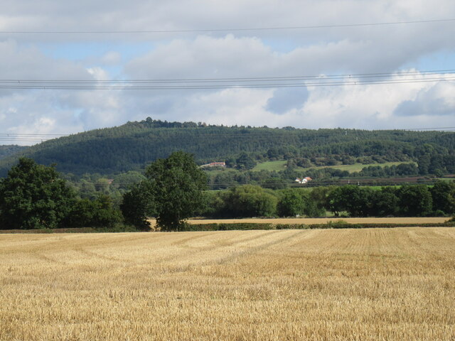
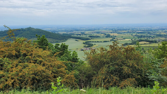
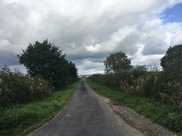
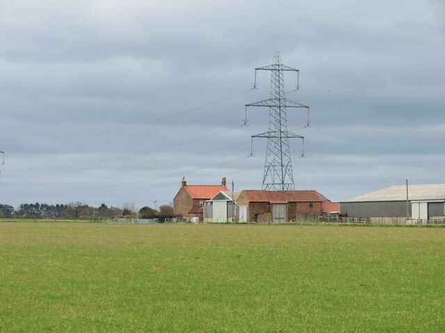
Bagby is a small village located in the Hambleton district of North Yorkshire, England. Situated approximately 7 miles northwest of Thirsk, it is nestled amidst picturesque countryside and offers a peaceful rural setting. The village is surrounded by farmland, rolling hills, and charming woodlands, making it an ideal destination for nature lovers and those seeking a tranquil retreat.

Bagby boasts a rich history, with evidence of human settlement dating back to the Roman era. The village is known for its historic buildings, including several Grade II listed structures. One notable landmark is the St. Mary's Church, a beautiful 12th-century Norman church featuring stunning stained glass windows and intricate stonework.

Despite its small size, Bagby offers a range of amenities for residents and visitors alike. The village is home to a primary school, a village hall, and a popular local pub, providing a sense of community and a gathering place for locals. Additionally, Bagby is well-connected to nearby towns and cities, with good transport links and easy access to major road networks.

The surrounding area offers plenty of opportunities for outdoor pursuits, such as walking, hiking, and cycling. Bagby is also within close proximity to the North York Moors National Park, which offers breathtaking landscapes and a wealth of wildlife.

In conclusion, Bagby is a delightful village in the heart of Yorkshire, offering a tranquil setting, rich history, and easy access to the natural beauty of the surrounding countryside.

If you have any feedback on the listing, please let us know in the comments section below.

Bagby Images

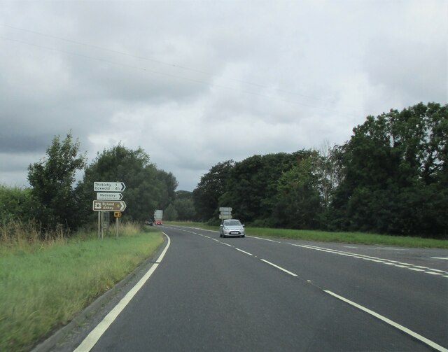
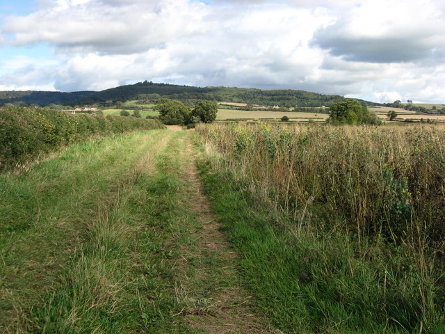
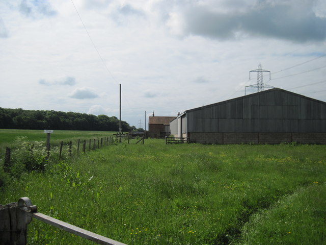
Images are sourced within 2km of 54.217795/-1.29084 or Grid Reference SE4680. Thanks to Geograph Open Source API. All images are credited.

Through the wires Looking east through wires towards Hood Hill.
Through the wires
Looking east through wires towards Hood Hill.
"Finest View in England" Just a few minutes' walk from the Sutton Bank National Park Centre, there is what is called the "Finest View in England" - an excellent view from Sutton Bank all the way to Yorkshire Dales.
"Finest View in England"
Just a few minutes' walk from the Sutton Bank National Park Centre, there is what is called the "Finest View in England" - an excellent view from Sutton Bank all the way to Yorkshire Dales.
Lane to Abbot’s Close
Thirkleby, All Saints This is an east facing buttress of All Saints church at Thirkleby. The clear benchmark is cut into the 3rd course of stone.
Thirkleby, All Saints
This is an east facing buttress of All Saints church at Thirkleby. The clear benchmark is cut into the 3rd course of stone.
Thirkleby, All Saints A wider angle showing the church. On an east facing buttress there is a clear benchmark which is cut into the 3rd course of stone.
Thirkleby, All Saints
A wider angle showing the church. On an east facing buttress there is a clear benchmark which is cut into the 3rd course of stone.
Low Lane near Great Thirkleby
Lay-by on the A19 near Thirsk
Thorn Hill farm Farm and nearby pylon in Thirkleby parish.
Thorn Hill farm
Farm and nearby pylon in Thirkleby parish.
Junction  with  Low  Lane  (caravan route)  to  Helmsley From the A19 it is marked on the O/S map as Caravan Route avoiding Sutton Bank
Junction with Low Lane (caravan route) to Helmsley
From the A19 it is marked on the O/S map as Caravan Route avoiding Sutton Bank
Fisher Beck Looking along a field entrance on the edge of Fisher Beck.
Fisher Beck
Looking along a field entrance on the edge of Fisher Beck.
Field beside Moor End Lane Looking across a field near Low Moor Farm.
Field beside Moor End Lane
Looking across a field near Low Moor Farm.
Moor End Lane Looking along Moor End Lane between Sowerby and Dalton.
Moor End Lane
Looking along Moor End Lane between Sowerby and Dalton.
York Road (A19) The northbound A19, passing the large lay-by.
York Road (A19)
The northbound A19, passing the large lay-by.
Bridleway East of Thorn Hill Looking along the bridleway east of Thorn Hill, Hood Hill in the distance.
Bridleway East of Thorn Hill
Looking along the bridleway east of Thorn Hill, Hood Hill in the distance.
Farm building Lower Moor Farm
Farmland off Moor End Lane
Moor End Lane heading south
Thorn  Hill  Farm  with  Spring  Wood  beyond
Thorn Hill Farm with Spring Wood beyond
Show me another place!

Bagby is located at Grid Ref: SE4680 (Lat: 54.217795, Lng: -1.29084)

Division: North Riding

Administrative County: North Yorkshire

District: Hambleton

Police Authority: North Yorkshire

What 3 Words

///playroom.elbow.feasted. Near Thirsk, North Yorkshire

Nearby Locations

Bagby

Related Wikis

Bagby

Bagby is a village and civil parish in the former Hambleton District of North Yorkshire, England, 3 miles (5 km) south-east of Thirsk. The parish had a...

Thirkleby Hall

Thirkleby Hall was a large 18th-century country house in Great Thirkleby in the Hambleton hills of North Yorkshire. It was demolished in 1927. == History... ==

Balk, North Yorkshire

Balk is a hamlet and civil parish in the Hambleton district of North Yorkshire, England, just east of Thirsk. In the 2001 census the parish had a population...

Thirkleby High and Low with Osgodby

Thirkleby High and Low with Osgodby is a civil parish in North Yorkshire, England. The constituents of the parish consist of the villages of Great Thirkleby...

Nearby Amenities

Located within 500m of 54.217795,-1.29084
Bagby
Is In: North Yorkshire
Place: village
Lat/Long: 54.2181266/-1.2903728
Barrier: cattle_grid
Lat/Long: 54.2194239/-1.2914488
Post Box
Post Box Type: lamp
Royal Cypher: EIIR
Royal Cypher Wikidata: Q33102113
Lat/Long: 54.218058/-1.2900689
Bench
Lat/Long: 54.2180275/-1.29025
Public Bookcase
Defibrillator
Booth: KX100
Covered: booth
Defibrillator Location: In modern phone box that is being used as a book exchange in Bagby.
Disused Amenity: telephone
Emergency: defibrillator
Man Made: telephone_box
Public Bookcase Type: phone_box
Source: Survey
Lat/Long: 54.2180401/-1.2901534
Pub
The Greyhound
Addr City: Bagby
Addr Postcode: YO7 2PF
Addr Street: Main Street
Floor Material: wood
Food: yes
Old Name: Bagby Inn
Outdoor Seating: yes
Parking: yes
Real Ale: Black Sheep + 1
Wheelchair: yes
Wheelchair Description: Flat at back, steps at front entrance.
Lat/Long: 54.2183412/-1.2885334
Bench
Lat/Long: 54.2195126/-1.2847409
Advertising: board
Lat/Long: 54.2180514/-1.2901087
Bench
Lat/Long: 54.2177788/-1.2974812
Bench
Lat/Long: 54.2206423/-1.2933694
The data included in this document is from www.openstreetmap.org. The data is made available under ODbL.

Have you been to Bagby?

Leave your review of Bagby below (or comments, questions and feedback).