Amalveor Downs
Downs, Moorland in Cornwall
England
Amalveor Downs
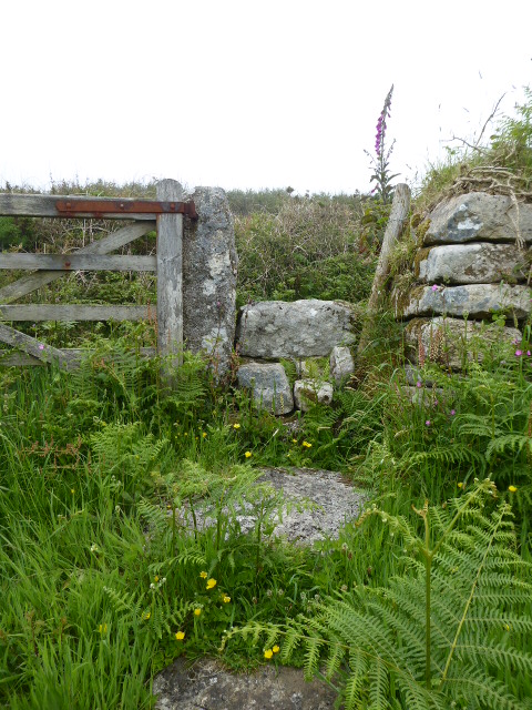
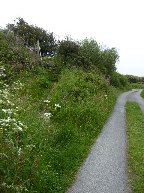
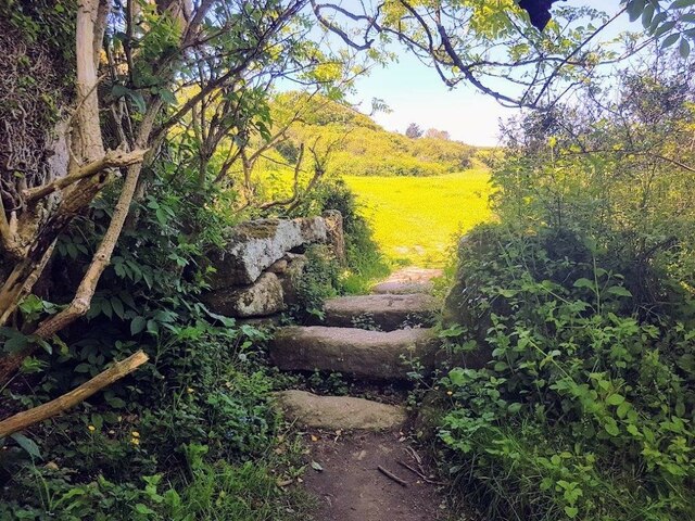
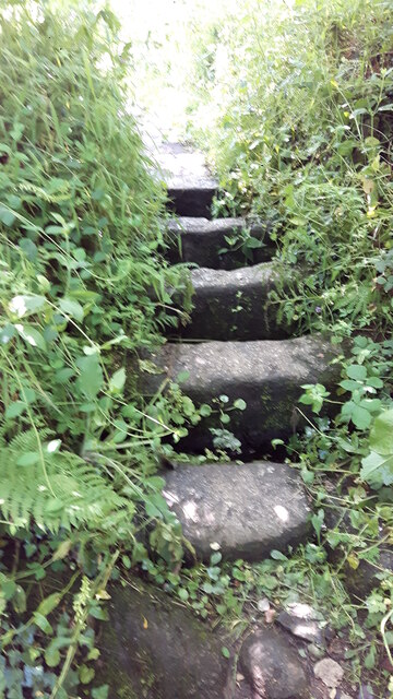
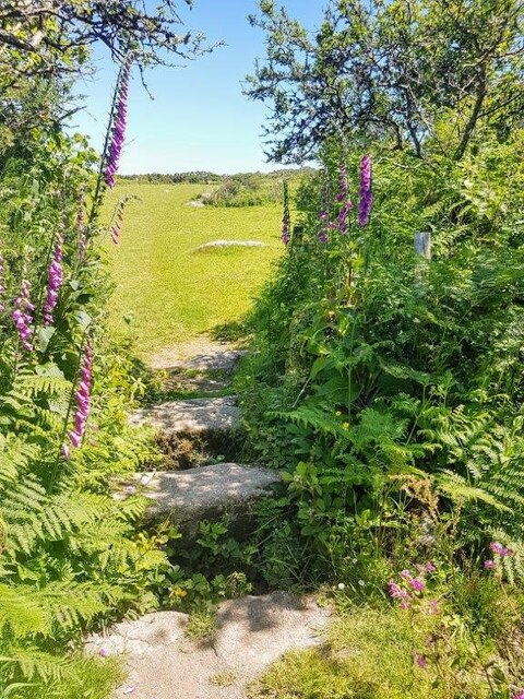
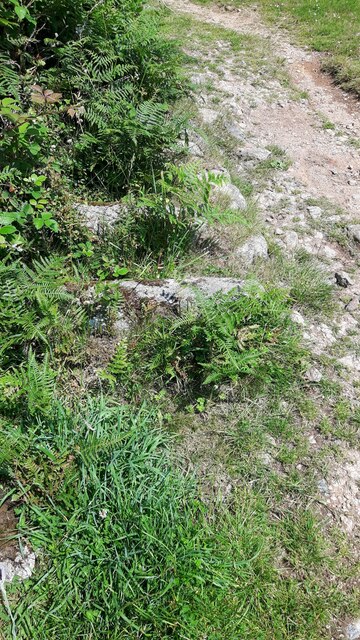
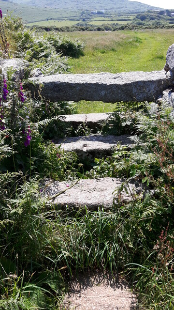
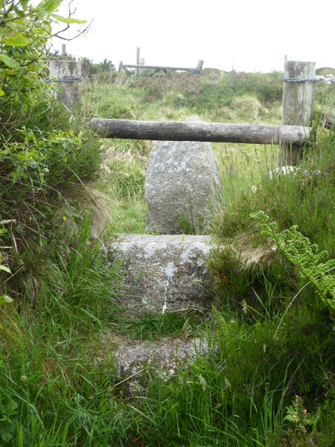
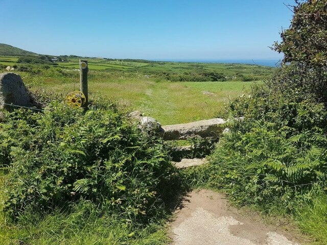
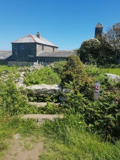
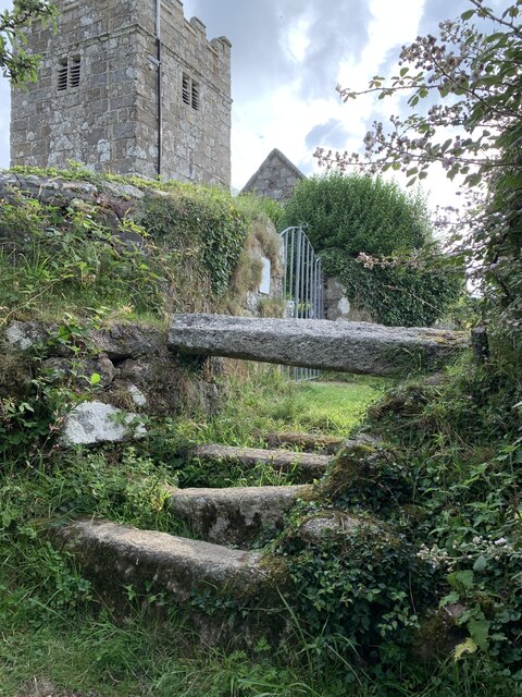
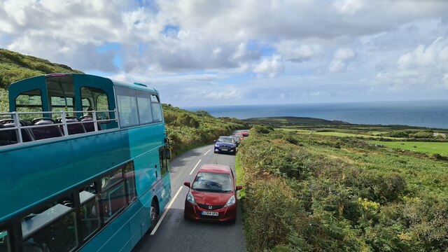
Amalveor Downs is a picturesque area located in Cornwall, England. Situated on the northern edge of the county, it is known for its stunning natural beauty and breathtaking landscapes. The downs encompass an expansive stretch of moorland that is characterized by rolling hills, heather-covered slopes, and scattered granite tors.
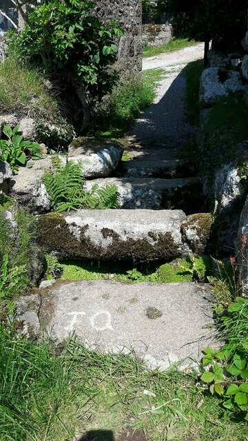
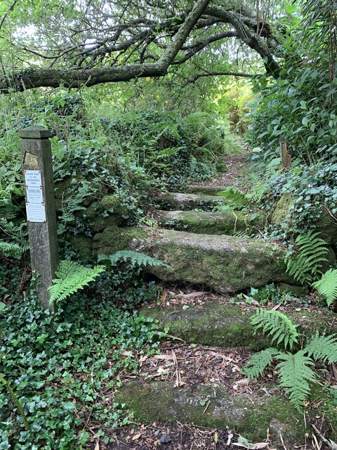
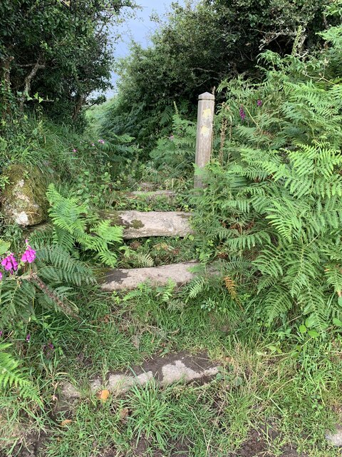
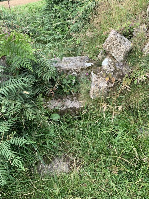
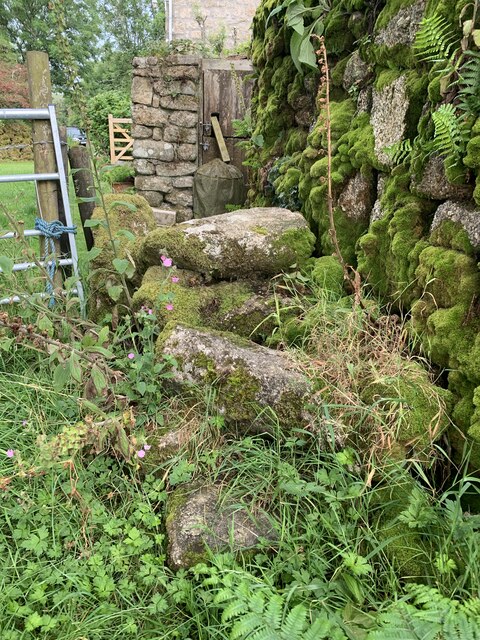
This area is a haven for outdoor enthusiasts and nature lovers, offering a plethora of activities to engage in. Hiking and walking trails crisscross the downs, allowing visitors to explore the vast moorland and take in the panoramic views of the surrounding countryside. The high vantage points also make it an ideal spot for birdwatching, with various species of birds being spotted in the area.
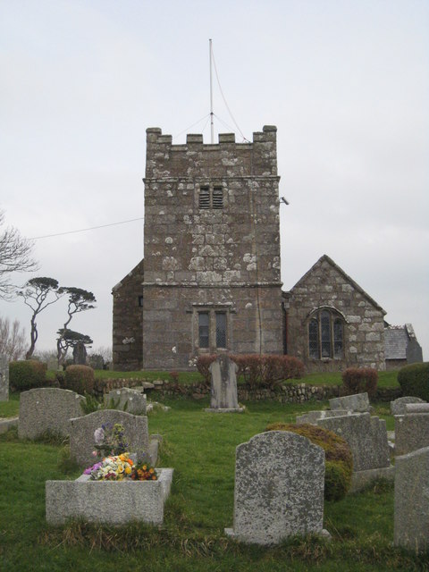
Amalveor Downs is also famous for its vibrant wildlife, including rare species such as the Dartford warbler and the adder. The moorland is dotted with ancient archaeological sites, such as burial mounds and stone circles, which provide insight into the area's rich history.
During summer, the downs burst into a riot of color as wildflowers carpet the landscape, creating a stunning visual display. The area is also home to a variety of plant species, including gorse, heather, and bracken.
Overall, Amalveor Downs is a captivating destination that offers visitors a chance to immerse themselves in the beauty of Cornwall's natural landscape. Whether it's exploring the moorland, admiring the wildlife, or simply enjoying the tranquility, this area is a must-visit for anyone seeking a peaceful and scenic retreat.
If you have any feedback on the listing, please let us know in the comments section below.
Amalveor Downs Images
Images are sourced within 2km of 50.184826/-5.5376756 or Grid Reference SW4737. Thanks to Geograph Open Source API. All images are credited.
Amalveor Downs is located at Grid Ref: SW4737 (Lat: 50.184826, Lng: -5.5376756)
Unitary Authority: Cornwall
Police Authority: Devon and Cornwall
What 3 Words
///manager.screaming.ranches. Near St Ives, Cornwall
Nearby Locations
Related Wikis

Amalveor
Amalveor (Cornish: Amal Veur, meaning "great Amal"; 'Amal' appears to be the name of a river) is a hamlet in West Penwith, Cornwall, England, United Kingdom...
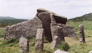
Zennor Quoit
Zennor Quoit is a ruined megalithic burial chamber or dolmen, located on a moor about a mile (1.6 km) east of the village of Zennor, Cornwall, England...
Sperris Quoit
Sperris Quoit is a ruined megalithic burial chamber or dolmen, and one of a type of tomb unique to West Penwith, located on a moor around 365 metres northeast...
Towednack
Towednack (Cornish: Tewydnek) is a churchtown and civil parish in Cornwall, England, United Kingdom. The parish is bounded by those of Zennor in the west...

Georgia, Cornwall
Georgia is a hamlet in the parish of Towednack, Cornwall, England. Georgia is situated 3.5 miles (5.6 km) south-west from St Ives, Cornwall. Georgia...
Wayside Folk Museum
The Wayside Folk Museum was a small private museum situated in the village of Zennor in west Cornwall, United Kingdom. It was the oldest private museum...
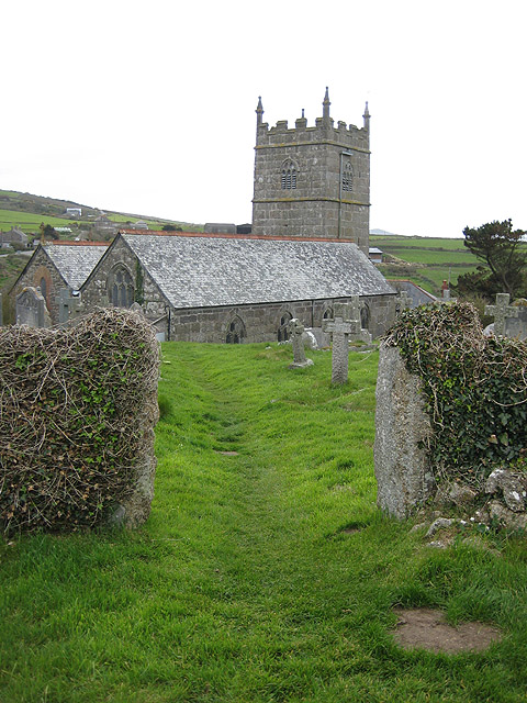
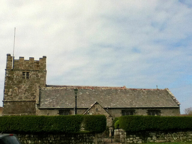
St Senara's Church, Zennor
St Senara's Church, in Zennor Churchtown, Cornwall, England, UK, is the parish church of the parish of Zennor. It is in the Deanery of Penwith, Archdeaconry...

Baker's Pit Nature Reserve
Baker's Pit Nature Reserve is a nature reserve in the parish of Ludgvan, west Cornwall managed by the Cornwall Wildlife Trust (CWT). The reserve is on...
Have you been to Amalveor Downs?
Leave your review of Amalveor Downs below (or comments, questions and feedback).