South Downs

Downs, Moorland in Cornwall

England

South Downs

Newlyn harbour from Fore Street
Newlyn harbour from Fore Street Credit: David Gearing

The requested URL returned error: 429 Too Many Requests

If you have any feedback on the listing, please let us know in the comments section below.
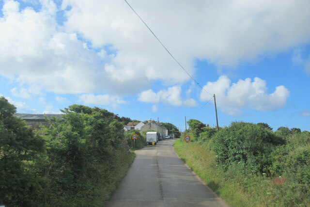
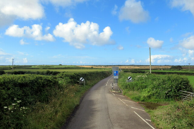
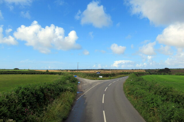
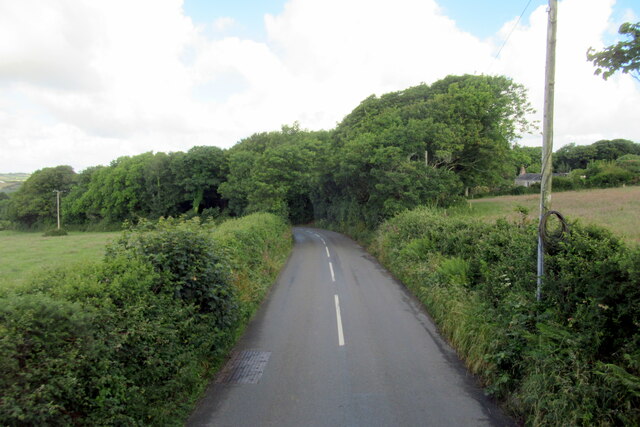
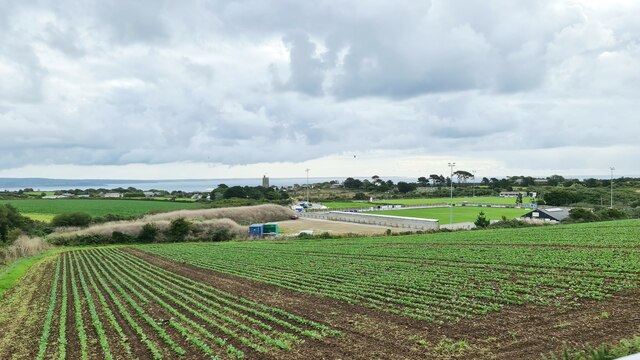
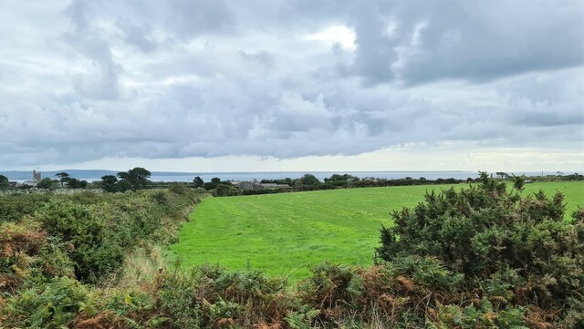
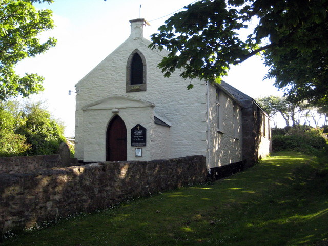
South Downs Images

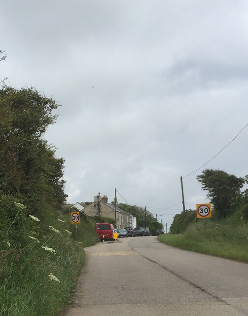
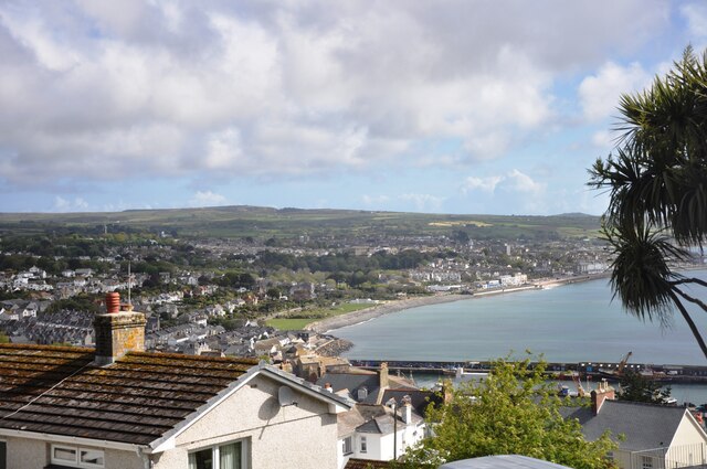
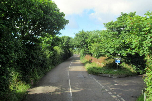
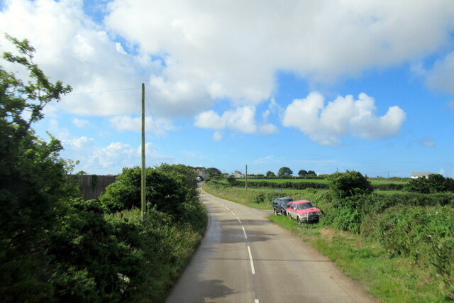
Images are sourced within 2km of 50.0943/-5.563009 or Grid Reference SW4527. Thanks to Geograph Open Source API. All images are credited.

Newlyn harbour from Fore Street
The Newlyn Fishermen Memorial
Royal National Mission to Deep Sea Fishermen, Newlyn
Coastal views
Coastal views
View towards Newlyn Tidal Observatory from Tolcarne FBM
Newlyn Harbour A view of Newlyn Harbour taken from behind the RNLI station and looking southeast with the Mary Williams Pier on the left and the South Pier in the background.
Newlyn Harbour
A view of Newlyn Harbour taken from behind the RNLI station and looking southeast with the Mary Williams Pier on the left and the South Pier in the background.
Newlyn Harbour View of Newlyn Harbour, taken looking south from the Mary Williams Pier.
Newlyn Harbour
View of Newlyn Harbour, taken looking south from the Mary Williams Pier.
Street in Tolcarne
Street in Tolcarne
Street in Paul
Street in Paul
Looking across towards Penzance A view from Chywoone Hill across Newlyn towards Penzance.  Newlyn Harbour North  Quay crosses the bay from left to right.
Looking across towards Penzance
A view from Chywoone Hill across Newlyn towards Penzance. Newlyn Harbour North Quay crosses the bay from left to right.
The B3315 at turning for Chyenhal
The B3315 approaching Sheffield
The B3315 at Sheffield
The B3315 leaving Sheffield
The B3315 at turning for Raginnis
The B3315 near Trevelloe
Football pitch near Sheffield in Cornwall
Field at Sheffield, Cornwall With the Lizard Peninsula on the horizon in the background, 15-20 miles away
Field at Sheffield, Cornwall
With the Lizard Peninsula on the horizon in the background, 15-20 miles away
Show me another place!

South Downs is located at Grid Ref: SW4527 (Lat: 50.0943, Lng: -5.563009)

Unitary Authority: Cornwall

Police Authority: Devon and Cornwall

What 3 Words

///stuff.mothering.lion. Near Penzance, Cornwall

Nearby Locations

South Downs

Related Wikis

Chyenhal Moor

Chyenhal Moor is a poorly drained shallow valley, 2 miles (3.2 km) to the south-west of Penzance, Cornwall. Due to several rare plants in a diverse range...

Mousehole A.F.C.

Mousehole Association Football Club is a football club based in Paul, Cornwall. They are currently members of the Southern League Division One South and...

Tredavoe

Tredavoe (Cornish: Trewordhavow) is a hamlet west of Newlyn in Cornwall, England, United Kingdom. == References == == External links == Media related...

Sheffield, Cornwall

Sheffield is a hamlet in Cornwall, England, situated near the village of Paul. == History == Sheffield is thought to have been established to house the...

Nearby Amenities

Located within 500m of 50.0943,-5.563009
Power: pole
Transformer: distribution
Lat/Long: 50.0935548/-5.5594497
Power: pole
Lat/Long: 50.0939919/-5.5568506
Power: pole
Lat/Long: 50.0940211/-5.5603911
Power: pole
Lat/Long: 50.0943825/-5.55835
Power: pole
Lat/Long: 50.0944599/-5.5605279
Power: pole
Transformer: distribution
Lat/Long: 50.0939935/-5.562762
Power: pole
Lat/Long: 50.0942671/-5.5618125
Power: pole
Lat/Long: 50.0949898/-5.5595005
Power: pole
Lat/Long: 50.0959413/-5.5590499
Power: pole
Transformer: distribution
Lat/Long: 50.0962201/-5.5580682
Power: pole
Lat/Long: 50.0985325/-5.5629337
Power: pole
Lat/Long: 50.0980233/-5.5639529
Power: pole
Lat/Long: 50.0979114/-5.5651224
Power: pole
Lat/Long: 50.0977652/-5.5665091
Power: pole
Lat/Long: 50.0985618/-5.5627835
Power: pole
Lat/Long: 50.0978632/-5.5622363
Power: pole
Lat/Long: 50.0971905/-5.5617213
Power: pole
Lat/Long: 50.0964816/-5.5608577
Power: pole
Lat/Long: 50.0958106/-5.560053
Power: pole
Lat/Long: 50.095112/-5.5592161
The data included in this document is from www.openstreetmap.org. The data is made available under ODbL.

Have you been to South Downs?

Leave your review of South Downs below (or comments, questions and feedback).