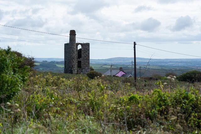
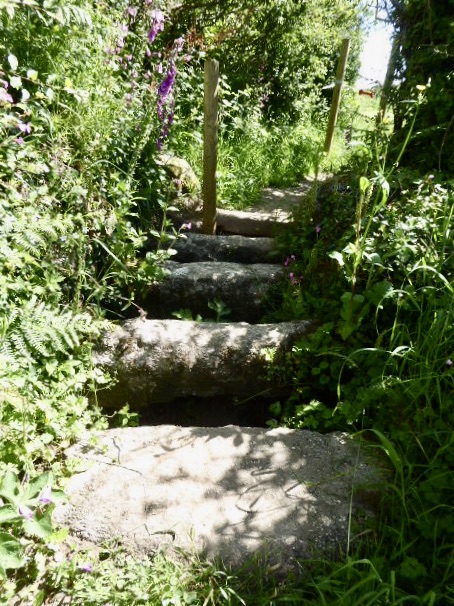
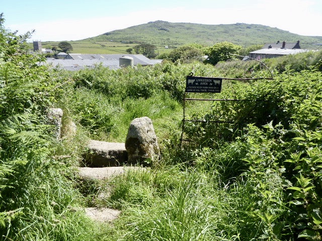
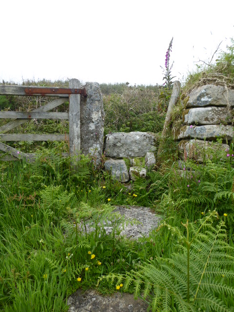
Boswednack Common
Downs, Moorland in Cornwall
England
Boswednack Common

The requested URL returned error: 429 Too Many Requests
If you have any feedback on the listing, please let us know in the comments section below.
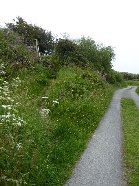
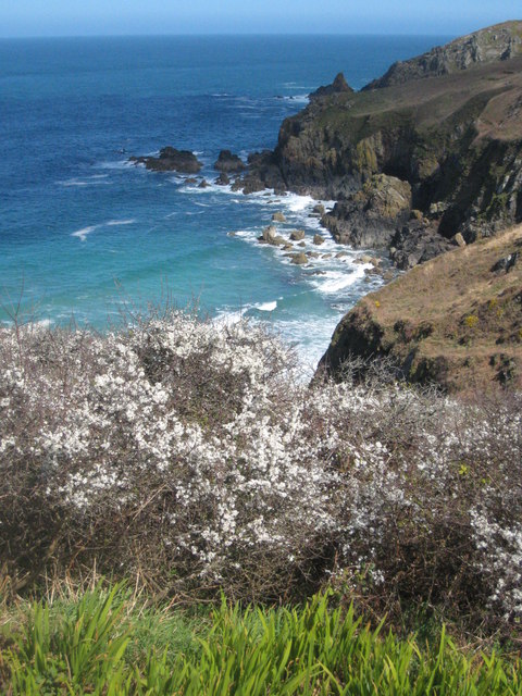
Boswednack Common Images
Images are sourced within 2km of 50.174498/-5.5746371 or Grid Reference SW4436. Thanks to Geograph Open Source API. All images are credited.


Boswednack Common is located at Grid Ref: SW4436 (Lat: 50.174498, Lng: -5.5746371)
Unitary Authority: Cornwall
Police Authority: Devon and Cornwall
What 3 Words
///counters.saving.showcases. Near Penzance, Cornwall
Nearby Locations
Related Wikis

Bosporthennis
Bosporthennis (Cornish: Bosporthenys) is a hamlet south of Treen in the civil parish of Zennor on the Penwith peninsula in west Cornwall, England, United...
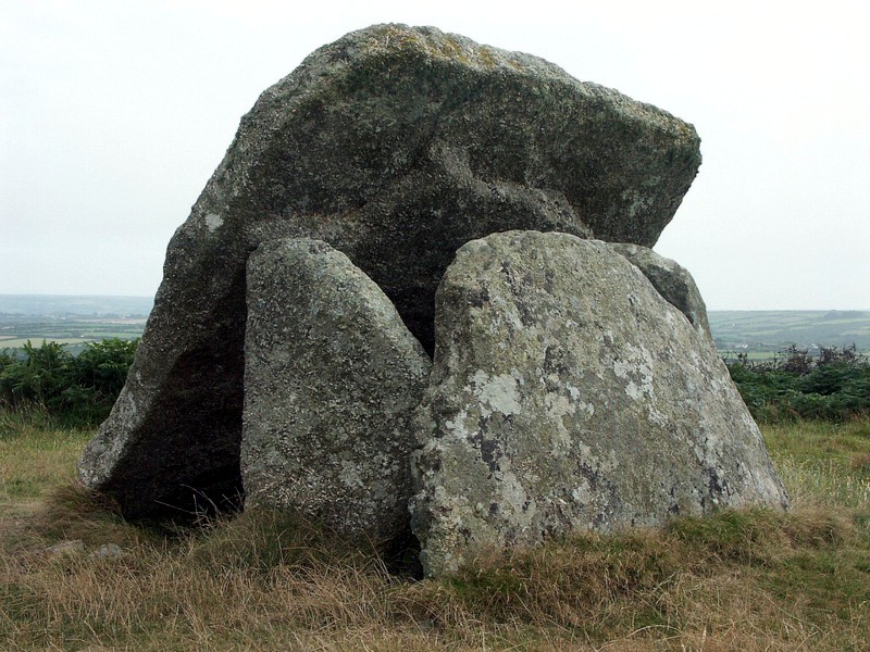
Mulfra Quoit
Mulfra Quoit (grid reference SW451353) is a Neolithic dolmen in the county of Cornwall in England. It stands on Mulfra Hill to the north of the hamlet...
Boswednack
Boswednack is a hamlet in the parish of Zennor near the north coast of the Penwith peninsula in Cornwall, England, United Kingdom. It is located along...
Poniou
Poniou or Ponjou is a hamlet west of Zennor in west Cornwall, England. The name is from Cornish "ponjow" meaning "bridges". == References ==
Nearby Amenities
Located within 500m of 50.174498,-5.5746371Have you been to Boswednack Common?
Leave your review of Boswednack Common below (or comments, questions and feedback).