Grub Street

Settlement in Staffordshire Stafford

England

Grub Street

Shropshire Union Canal View from the High Bridge.
Shropshire Union Canal Credit: Richard Webb

Grub Street is a small village located in the county of Staffordshire, England. Situated in the heart of the English countryside, it is surrounded by picturesque landscapes and rolling hills. The village is known for its quaint charm and peaceful atmosphere, making it an ideal destination for those seeking a tranquil escape from the bustling city life.

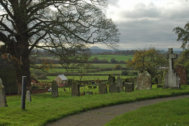
Grub Street is home to a close-knit community that takes pride in its rich history and heritage. The origins of the village can be traced back to medieval times, and remnants of its past can still be seen in the form of ancient buildings and architecture. The local church, St. Michael's, is a notable landmark that dates back several centuries and serves as a testament to the village's historical significance.

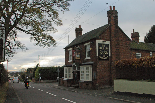
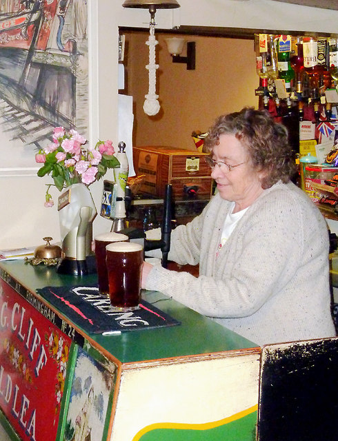
Despite its small size, Grub Street offers a range of amenities and facilities to cater to the needs of its residents and visitors. The village boasts a cozy pub, The Grub Street Inn, where locals gather to socialize and enjoy traditional English fare. Additionally, there are a few small shops and businesses that provide essential services to the community.

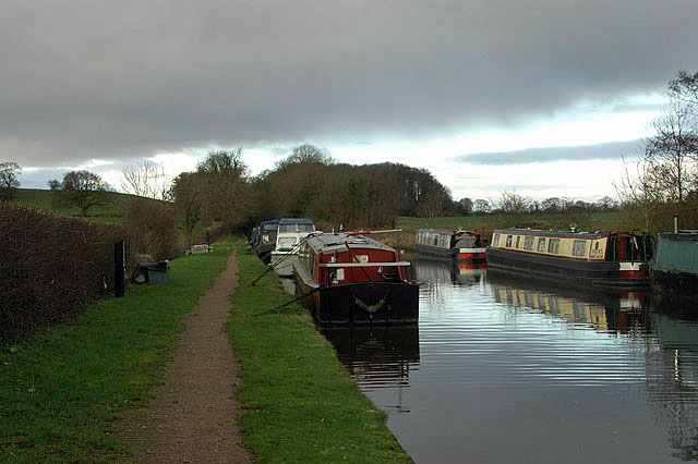
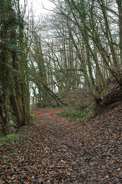
The surrounding countryside provides ample opportunities for outdoor activities such as hiking, cycling, and horseback riding. The nearby Staffordshire Moorlands offer breathtaking views and scenic trails, attracting nature enthusiasts from far and wide. Grub Street is also conveniently located within driving distance of several other attractions, including the historic market town of Leek and the world-renowned Alton Towers theme park.

Overall, Grub Street, Staffordshire, is a charming village that combines historic allure with natural beauty. Its peaceful atmosphere and close-knit community make it an idyllic place to visit or reside for those seeking a slower pace of life.

If you have any feedback on the listing, please let us know in the comments section below.
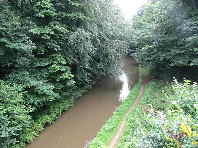
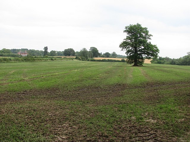
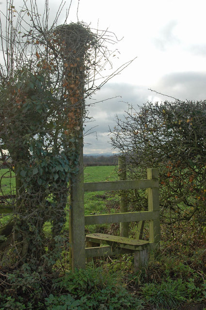
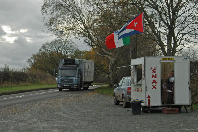
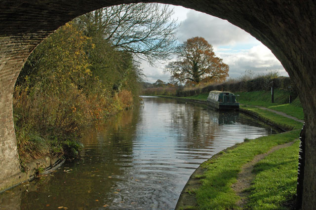
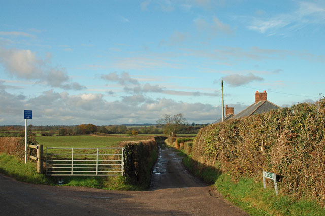
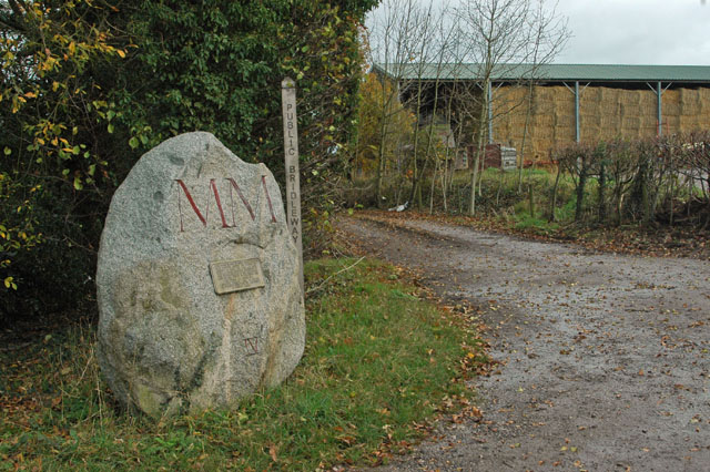
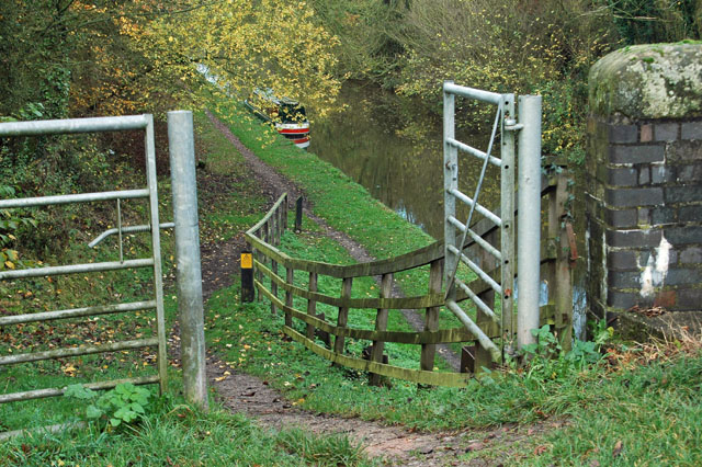
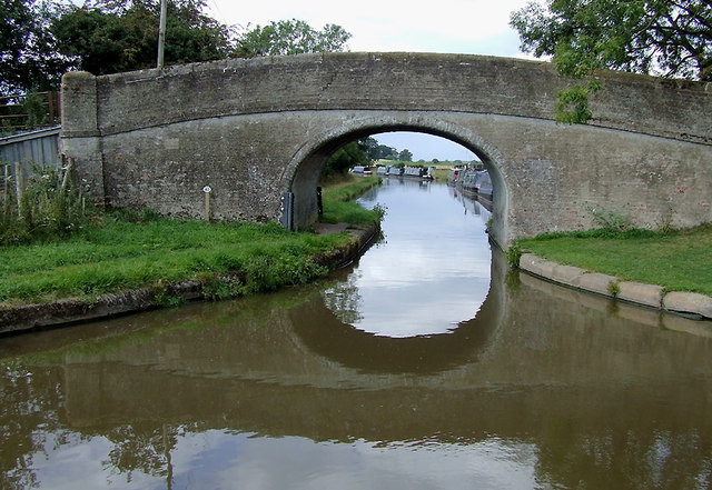
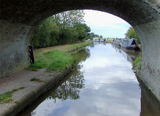
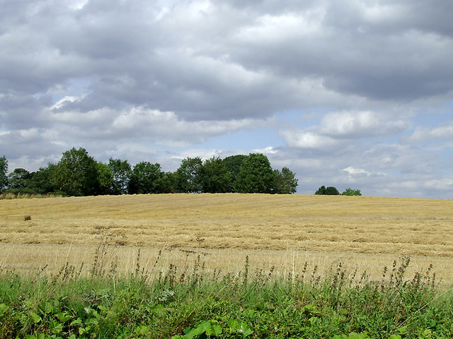
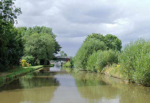
Grub Street Images

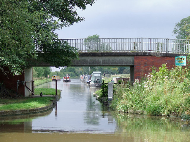
Images are sourced within 2km of 52.822079/-2.3279104 or Grid Reference SJ7825. Thanks to Geograph Open Source API. All images are credited.

Shropshire Union Canal View from the High Bridge.
Shropshire Union Canal
View from the High Bridge.
A muddy field Silage has just been taken off this field, and vehicle movements have made things muddy. A lone tree in the middle of a field is often a sign that there was once a hedge there.
A muddy field
Silage has just been taken off this field, and vehicle movements have made things muddy. A lone tree in the middle of a field is often a sign that there was once a hedge there.
Stile on footpath to Leawood
Roadside 'greasy spoon' Look closely at the person in the 'cafe' and you will see him providing an unusual 'welcome' sign. I was going to purchase a buttie but not after that 'comment'.
Roadside 'greasy spoon'
Look closely at the person in the 'cafe' and you will see him providing an unusual 'welcome' sign. I was going to purchase a buttie but not after that 'comment'.
The Shroppie at the Anchor
Not suitable for motor vehicles - southern end of Tunstall Lane
A 'Millennium Stone' on Grubb Street
Gateway to the Shroppie
High Offley churchyard The high hill in the background is 'The Wrekin', just south of Wellington and the A5.
High Offley churchyard
The high hill in the background is 'The Wrekin', just south of Wellington and the A5.
The Cock Inn at Woodseaves
Shropshire Union Canal - just north of Norbury
Woodland near the Shropshire Union Canal
Bullock's Bridge near High Offley, Shropshire Bridge No 43 across the Shropshire Union Canal carries a farm track from Old Lea Farm (off to the left) and a bridleway.
Bullock's Bridge near High Offley, Shropshire
Bridge No 43 across the Shropshire Union Canal carries a farm track from Old Lea Farm (off to the left) and a bridleway.
Moorings by Bullock's Bridge near High Offley, Shropshire Bridge No 43 across the Shropshire Union Canal carries a farm track from Old Lea Farm (off to the left) and a bridleway.Private long-term moorings are on the right. Visitor moorings are good east of this bridge.
Moorings by Bullock's Bridge near High Offley, Shropshire
Bridge No 43 across the Shropshire Union Canal carries a farm track from Old Lea Farm (off to the left) and a bridleway.Private long-term moorings are on the right. Visitor moorings are good east of this bridge.
Arable field near Shebdon, Staffordshire Seen from the Shropshire Union Canal.
Arable field near Shebdon, Staffordshire
Seen from the Shropshire Union Canal.
Shropshire Union Canal near Shebdon, Staffordshire Shebdon Bridge (No 44) is ahead, which carries the lane from Tunstall.
Shropshire Union Canal near Shebdon, Staffordshire
Shebdon Bridge (No 44) is ahead, which carries the lane from Tunstall.
Shebdon Bridge south-east of Knighton, Staffordshire Shebdon Bridge (No 44) carries the lane from Tunstall. Private long-term moorings on the right are by Shebdon Farm. Past the bridge, the Shropshire Union Canal continues towards another embankment. About five hundred metres ahead on the left is The Wharf Inn* at the base of the embankment. The sign on the bridge advertises it. The current Google satellite hybrid image incorrectly labels Batchacre Park Cottage (no road access) as The Wharf Inn.

*update: closed 2013.
Shebdon Bridge south-east of Knighton, Staffordshire
Shebdon Bridge (No 44) carries the lane from Tunstall. Private long-term moorings on the right are by Shebdon Farm. Past the bridge, the Shropshire Union Canal continues towards another embankment. About five hundred metres ahead on the left is The Wharf Inn* at the base of the embankment. The sign on the bridge advertises it. The current Google satellite hybrid image incorrectly labels Batchacre Park Cottage (no road access) as The Wharf Inn. *update: closed 2013.
The north bar at the Anchor Inn, High Offley This legendary canalside public house has its two front rooms as bars, the rest of the building being the landlady's living accommodation. As can be seen here, the actual serving counter is very small (the same as in the other room), but has space for the recently installed hand pump for serving the Wadworth's 6x; until recently Olive (shown here) would fetch a jug of beer from the cellar and decant it into glasses - she still tops up using the jug, so you get a "full pint" of ale. There is also room on the bar for another pump which I believe dispenses a very cold liquid. There are two similar pumps in the other bar which has been redecorated recently.

Update: The Anchor was forced to close in 2020-21 because of the impossibility of operating indoor "social distancing" during during the Covid-19 pandemic.

Update: Olive Cliff, the landlady for over fifty years, passed away on 28 April 2021. Elaine will be reopening the pub after Covid-19 restrictions are lifted.

<a href="https://www.geograph.org.uk/photo/1394162">SJ7725 : The Anchor Inn at High Offley, Staffordshire</a>
<a href="https://www.geograph.org.uk/photo/1598513">SJ7725 : The Anchor Inn at High Offley, Staffordshire</a>
<a href="https://www.geograph.org.uk/photo/547982">SJ7725 : Floral narrowboat, The Anchor Inn, High Offley, Staffordshire</a>
<a href="https://www.geograph.org.uk/photo/547978">SJ7725 : A Floral Anchor Inn, High Offley, Staffordshire</a>
The north bar at the Anchor Inn, High Offley
This legendary canalside public house has its two front rooms as bars, the rest of the building being the landlady's living accommodation. As can be seen here, the actual serving counter is very small (the same as in the other room), but has space for the recently installed hand pump for serving the Wadworth's 6x; until recently Olive (shown here) would fetch a jug of beer from the cellar and decant it into glasses - she still tops up using the jug, so you get a "full pint" of ale. There is also room on the bar for another pump which I believe dispenses a very cold liquid. There are two similar pumps in the other bar which has been redecorated recently. Update: The Anchor was forced to close in 2020-21 because of the impossibility of operating indoor "social distancing" during during the Covid-19 pandemic. Update: Olive Cliff, the landlady for over fifty years, passed away on 28 April 2021. Elaine will be reopening the pub after Covid-19 restrictions are lifted. SJ7725 : The Anchor Inn at High Offley, Staffordshire SJ7725 : The Anchor Inn at High Offley, Staffordshire SJ7725 : Floral narrowboat, The Anchor Inn, High Offley, Staffordshire SJ7725 : A Floral Anchor Inn, High Offley, Staffordshire
Show me another place!

Grub Street is located at Grid Ref: SJ7825 (Lat: 52.822079, Lng: -2.3279104)

Administrative County: Staffordshire

District: Stafford

Police Authority: Staffordshire

What 3 Words

///shuttled.hires.squeezed. Near Gnosall, Staffordshire

Nearby Locations

Grub Street

Related Wikis

Loynton Moss

Loynton Moss is a nature reserve of the Staffordshire Wildlife Trust, near the village of Woodseaves, in Staffordshire, England. It is adjacent to the...

High Offley

High Offley is a small village and civil parish in Staffordshire, England. It lies 3 miles southwest of the small town of Eccleshall and about 1 mile west...

Loynton

Loynton is a hamlet on the A519 near the villages of Norbury, and Woodseaves in Staffordshire, England. It lies in the civil parish of Norbury. Loynton...

Norbury, Staffordshire

Norbury is a village and civil parish in the Borough of Stafford, in west Staffordshire, England. The population as taken at the 2011 census was 371.It...

Nearby Amenities

Located within 500m of 52.822079,-2.3279104
Bus Stop
Aldershaws Lane
Bus: yes
Naptan AtcoCode: 3800C704400
Naptan Bearing: S
Naptan CommonName: Aldershaws Lane
Naptan Indicator: Opp
Naptan Landmark: Aldershaws Lane
Naptan Street: Grub Street
Naptan Verified: no
Public Transport: platform
Source: naptan_import
Lat/Long: 52.824519/-2.3244183
Bus Stop
Aldershaws Lane
Bus: yes
Naptan AtcoCode: 3800C704401
Naptan Bearing: N
Naptan BusStopType: CUS
Naptan CommonName: Aldershaws Lane
Naptan Indicator: Adj
Naptan Landmark: Aldershaws Lane
Naptan Street: Grub Street
Naptan Verified: no
Public Transport: platform
Source: naptan_import
Lat/Long: 52.8246531/-2.3246864
The data included in this document is from www.openstreetmap.org. The data is made available under ODbL.

Have you been to Grub Street?

Leave your review of Grub Street below (or comments, questions and feedback).