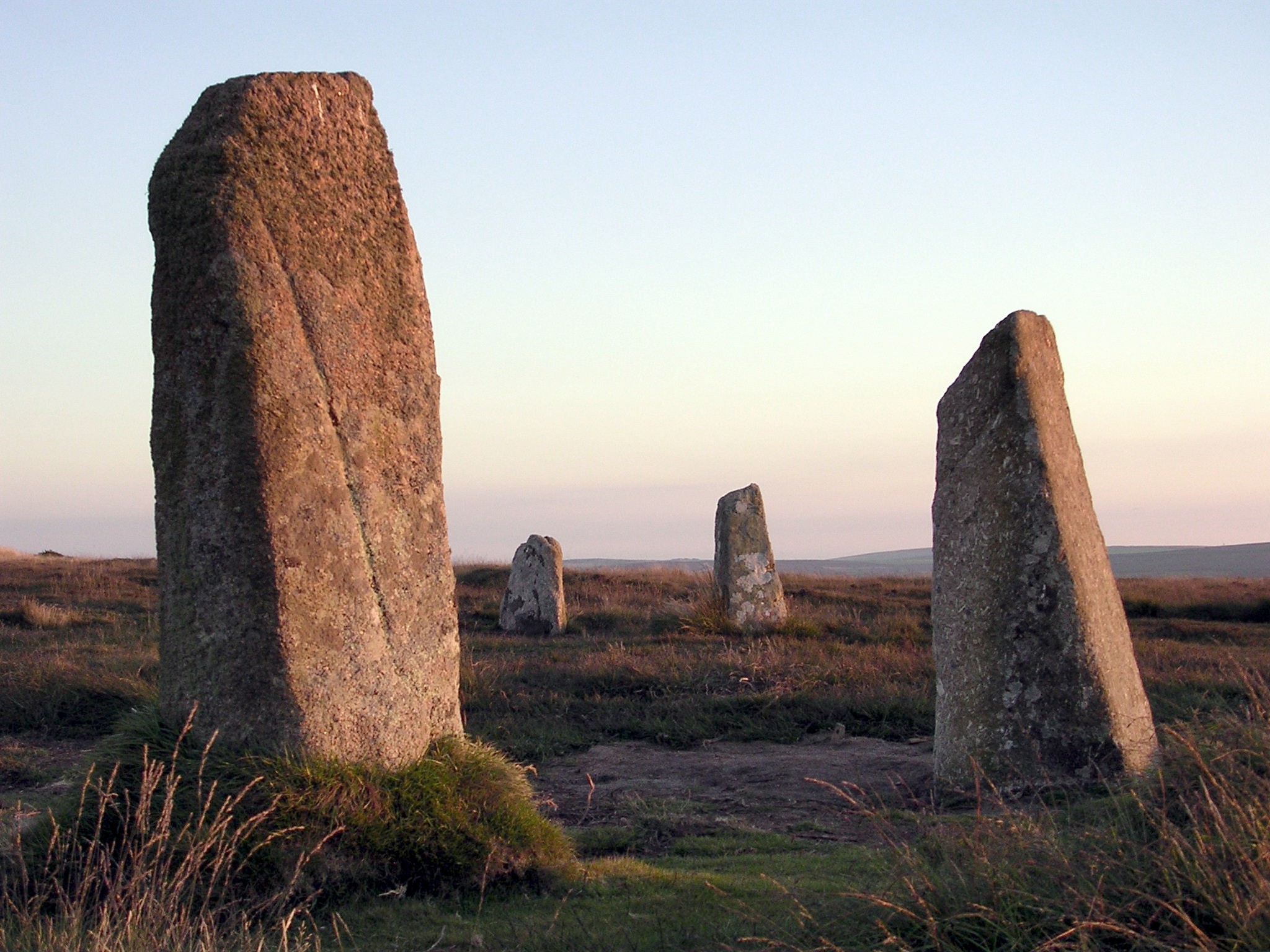
Bosporthennis Common

Downs, Moorland in Cornwall

England

Bosporthennis Common

The buildings at Bosporthennis These are no longer completely abandoned (see: <a title="https://www.geograph.org.uk/photo/71726)," href="https://www.geograph.org.uk/photo/71726),">Link</a> but have been restored as a holiday home. So just abandoned for the majority of the year.
The buildings at Bosporthennis Credit: David Medcalf

The requested URL returned error: 429 Too Many Requests

If you have any feedback on the listing, please let us know in the comments section below.

Bosporthennis Common Images

Images are sourced within 2km of 50.168103/-5.5792579 or Grid Reference SW4435. Thanks to Geograph Open Source API. All images are credited.

The buildings at Bosporthennis These are no longer completely abandoned (see: <a title="https://www.geograph.org.uk/photo/71726)," href="https://www.geograph.org.uk/photo/71726),">Link</a> but have been restored as a holiday home. So just abandoned for the majority of the year.
The buildings at Bosporthennis
These are no longer completely abandoned (see: Link but have been restored as a holiday home. So just abandoned for the majority of the year.
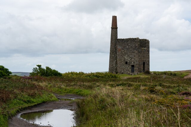
Ding Dong mines in Penwith
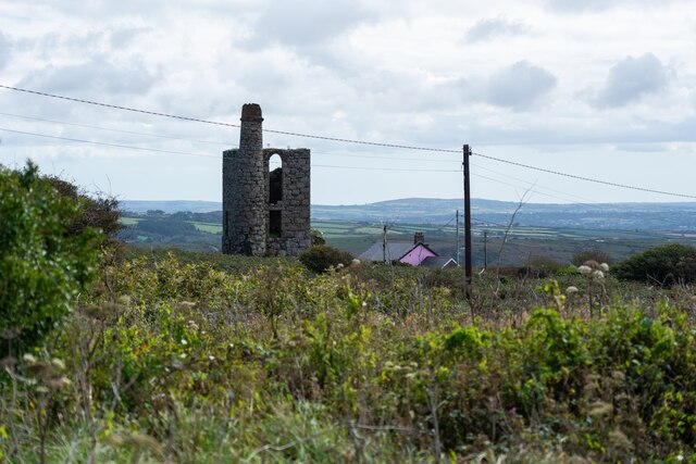
Chimney and shaft buildings as part of Ding Dong Mines in Penwith
Stone Stile SW4237b Three stone steps. At eastern end of enclosed track at Bosigran/Lower Porthmeor tin working site. The stile leads south from the enclosed lane, at right angles to a second stile which is on the main path running east. Path number 120/14 gold.
Parish: Zennor
HER Number: DCO11914  Grade II listed 1137458 ‘Aqueduct and Stiles’
Stone Stile SW4237b
Three stone steps. At eastern end of enclosed track at Bosigran/Lower Porthmeor tin working site. The stile leads south from the enclosed lane, at right angles to a second stile which is on the main path running east. Path number 120/14 gold. Parish: Zennor HER Number: DCO11914 Grade II listed 1137458 ‘Aqueduct and Stiles’
Stone Stile SW4237c Cattle stile with three large steps. Public footpath 120/14/3 gold & 120/14/2 silver from: Bosigran to: Lower Porthmeor. 
Parish: Zennor
HER Number: DCO11914  Grade II listed 1137458 ‘Aqueduct and Stiles’
Stone Stile SW4237c
Cattle stile with three large steps. Public footpath 120/14/3 gold & 120/14/2 silver from: Bosigran to: Lower Porthmeor. Parish: Zennor HER Number: DCO11914 Grade II listed 1137458 ‘Aqueduct and Stiles’
Stone Stile SW4237c Cattle stile with three large steps. Public footpath 120/14/3 gold & 120/14/2 silver from Bosigran to Lower Porthmeor. 
Parish: Zennor
HER Number: DCO11914  Grade II listed 1137458 ‘Aqueduct and Stiles’
Stone Stile SW4237c
Cattle stile with three large steps. Public footpath 120/14/3 gold & 120/14/2 silver from Bosigran to Lower Porthmeor. Parish: Zennor HER Number: DCO11914 Grade II listed 1137458 ‘Aqueduct and Stiles’
Stone Stile SW4237d Cattle stile with three large steps each side. At western end of enclosed track at Bosigran/Lower Porthmeor tin working site. Public footpath 120/14/3 gold 
Parish: Zennor
HER Number: DCO11914  Grade II listed 1137458 ‘Aqueduct and Stiles’
Stone Stile SW4237d
Cattle stile with three large steps each side. At western end of enclosed track at Bosigran/Lower Porthmeor tin working site. Public footpath 120/14/3 gold Parish: Zennor HER Number: DCO11914 Grade II listed 1137458 ‘Aqueduct and Stiles’
Footpath looking west near Captain's House in Portmeor
Stone Stile Sw4337a Zennor A cattle stile with two steps each side situated at the commencement of a footpath heading off the B3306. There is a small stream here. Public footpath 120/9/1 B3306 to Treen.
Stone Stile Sw4337a Zennor
A cattle stile with two steps each side situated at the commencement of a footpath heading off the B3306. There is a small stream here. Public footpath 120/9/1 B3306 to Treen.
Stone Stile SW4337a Zennor Cattle stile with two steps each side, situated at the commencement of a footpath heading off the B3306. There is a small stream here. Looking west, the yellow-painted Gurnard's Head inn can be seen, approximately a quarter of a mile away at Treen. Public footpath 120/9/1 B3306 to Treen
Stone Stile SW4337a Zennor
Cattle stile with two steps each side, situated at the commencement of a footpath heading off the B3306. There is a small stream here. Looking west, the yellow-painted Gurnard's Head inn can be seen, approximately a quarter of a mile away at Treen. Public footpath 120/9/1 B3306 to Treen
The B3306 at Treen
The B3306 at Treen
Treen Common
Treen Common
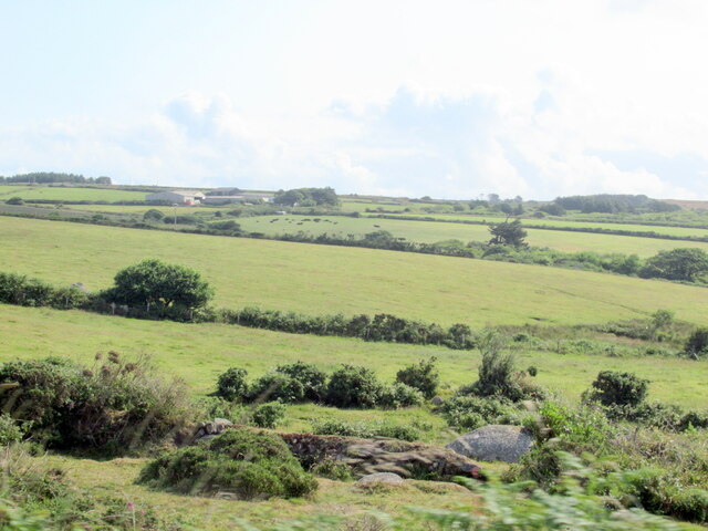
Fields near Higher Kerrowe
The B3306, St Just 7 St Ives 6
Farm track off the B3306
Stone Stile, Treen Off the N3306 looking East on Cornwall footpath 120/9/1. The view West is <a href="https://www.geograph.org.uk/photo/7557658">SW4337 : Stone Stile, Treen</a>.
Stone Stile, Treen
Off the N3306 looking East on Cornwall footpath 120/9/1. The view West is SW4337 : Stone Stile, Treen.
Stone Stile, Treen Off the N3306 looking West on Cornwall footpath 120/9/1. The view East is <a href="https://www.geograph.org.uk/photo/7557656">SW4337 : Stone Stile, Treen</a>.
Stone Stile, Treen
Off the N3306 looking West on Cornwall footpath 120/9/1. The view East is SW4337 : Stone Stile, Treen.
Show me another place!

Bosporthennis Common is located at Grid Ref: SW4435 (Lat: 50.168103, Lng: -5.5792579)

Unitary Authority: Cornwall

Police Authority: Devon and Cornwall

What 3 Words

///layover.steadier.houseboat. Near Penzance, Cornwall

Nearby Locations

Bosporthennis Common

Related Wikis

Bodrifty

Bodrifty is the modern name of an Iron Age village, now in ruins, in Cornwall, England, United Kingdom. It is 700 yards west of Mulfra Hill in Penwith...

Bosporthennis

Bosporthennis (Cornish: Bosporthenys) is a hamlet south of Treen in the civil parish of Zennor on the Penwith peninsula in west Cornwall, England, United...

Mulfra Quoit

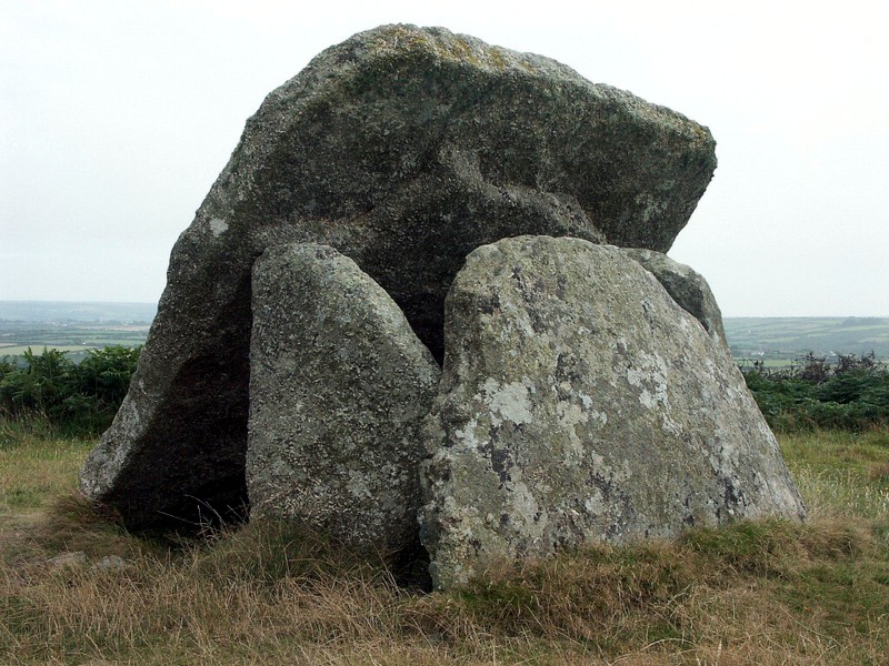
Mulfra Quoit (grid reference SW451353) is a Neolithic dolmen in the county of Cornwall in England. It stands on Mulfra Hill to the north of the hamlet...

Boskednan stone circle

Boskednan stone circle (grid reference SW434351) is a partially restored prehistoric stone circle near Boskednan, around 4 miles (6.4 kilometres) northwest...

Nearby Amenities

Located within 500m of 50.168103,-5.5792579
Power: pole
Transformer: distribution
Lat/Long: 50.1699992/-5.5842465
Power: pole
Lat/Long: 50.1685835/-5.5836216
Power: pole
Lat/Long: 50.1676936/-5.5832621
Power: pole
Lat/Long: 50.1669187/-5.5829403
Power: pole
Lat/Long: 50.1661782/-5.5826265
Power: pole
Lat/Long: 50.1651697/-5.5822322
Power: pole
Lat/Long: 50.1641182/-5.5817896
The data included in this document is from www.openstreetmap.org. The data is made available under ODbL.

Have you been to Bosporthennis Common?

Leave your review of Bosporthennis Common below (or comments, questions and feedback).