Bosullow Common
Downs, Moorland in Cornwall
England
Bosullow Common
The requested URL returned error: 429 Too Many Requests
If you have any feedback on the listing, please let us know in the comments section below.
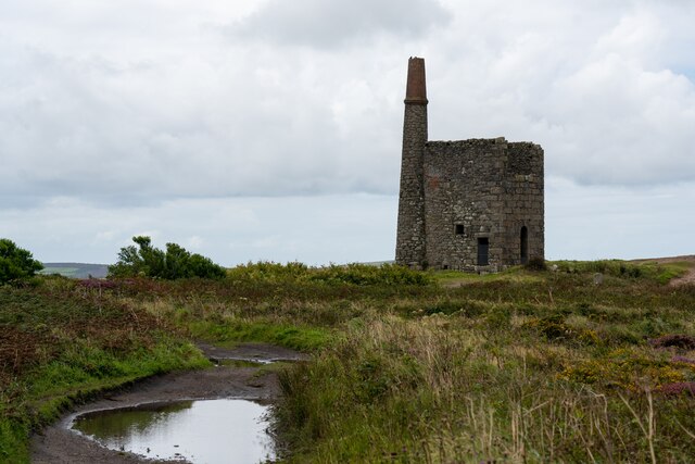
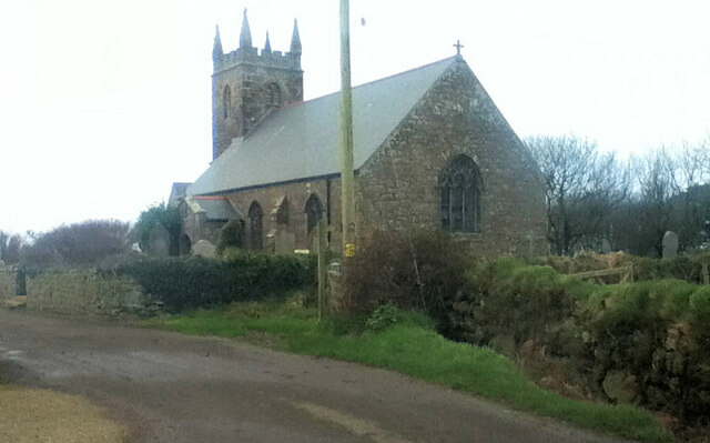
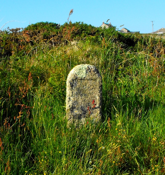
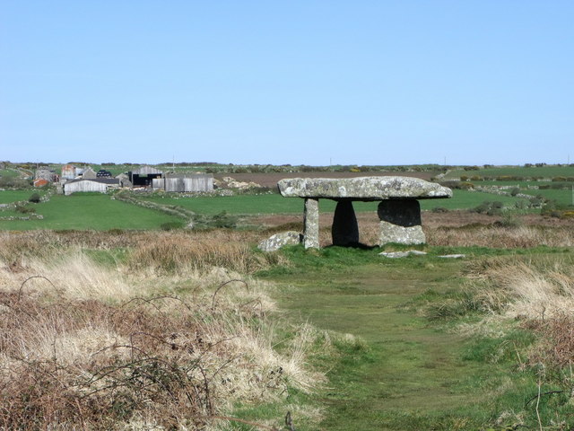
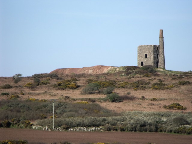
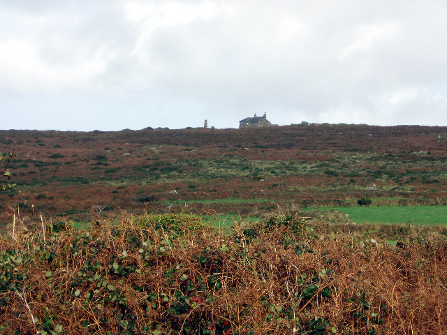
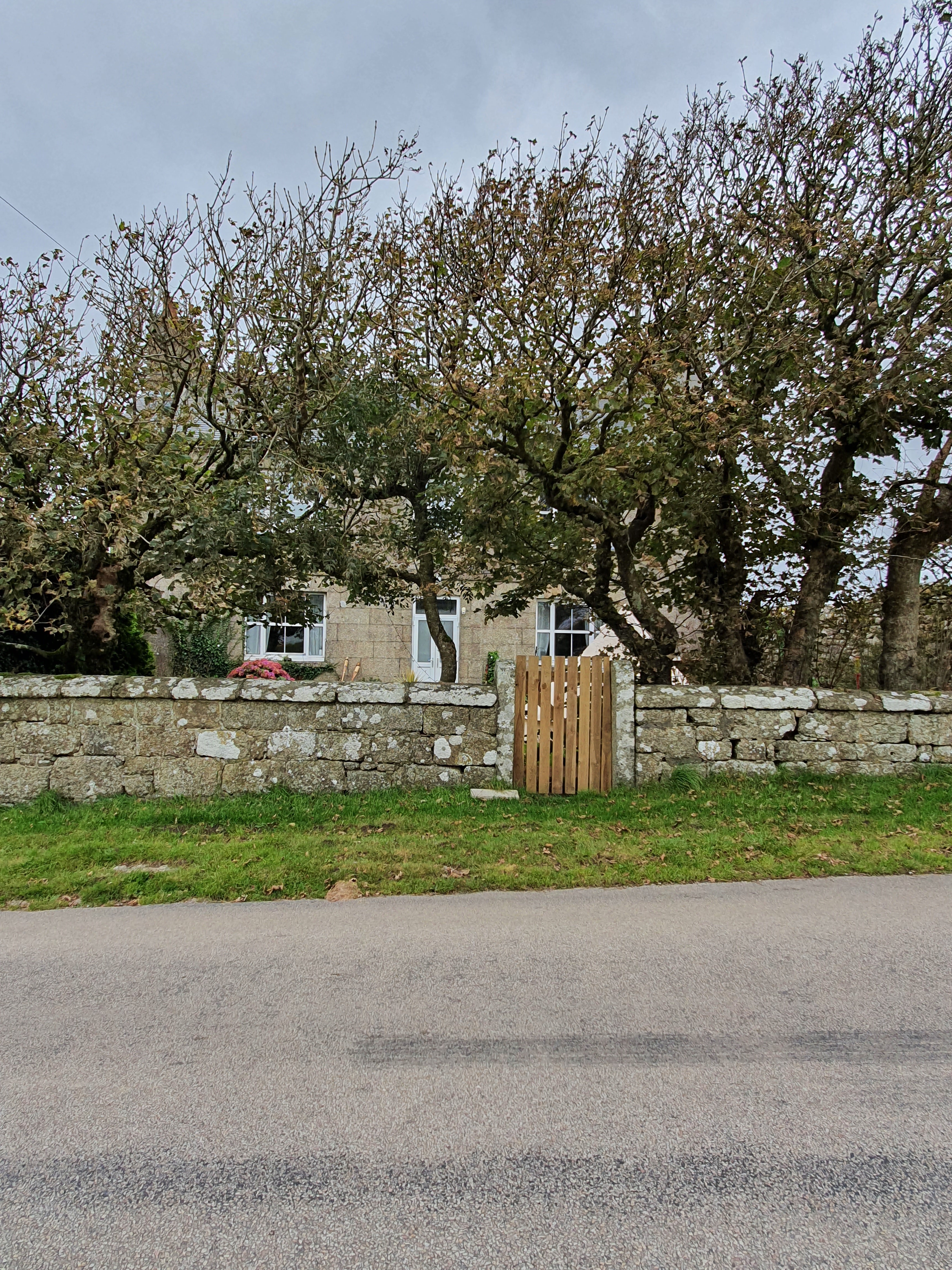
Bosullow Common Images
Images are sourced within 2km of 50.156991/-5.6144023 or Grid Reference SW4134. Thanks to Geograph Open Source API. All images are credited.


Bosullow Common is located at Grid Ref: SW4134 (Lat: 50.156991, Lng: -5.6144023)
Unitary Authority: Cornwall
Police Authority: Devon and Cornwall
What 3 Words
///older.expectant.catchers. Near St Just, Cornwall
Nearby Locations
Related Wikis
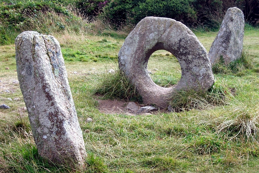
Mên-an-Tol
The Mên-an-Tol (Cornish: Men an Toll) is a small formation of standing stones in Cornwall, UK (grid reference SW426349). It is about three miles northwest...
Watch Croft
Watch Croft (Cornish: Carnonbigh) is a prominent hill, 252 metres (827 ft) high overlooking the north coast of the Cornwall, UK. Its prominence of 225...

Little Bosullow
Little Bosullow is a hamlet in the civil parish of Madron, Cornwall, England, UK. Great Bosullow is to the west, Bosullow is on the B3312 Madron to Morvah...
Lanyon (Madron)
Lanyon is a hamlet in the parish of Madron in Cornwall, England, UK. It is situated on a north facing slope on the Madron to Morvah road. The nearest town...
Nearby Amenities
Located within 500m of 50.156991,-5.6144023Have you been to Bosullow Common?
Leave your review of Bosullow Common below (or comments, questions and feedback).