Bosvenning and Roskennals Common

Downs, Moorland in Cornwall

England

Bosvenning and Roskennals Common

Descending Sancreed Beacon As I descended Sancreed Beacon I looked across the valley. The white art deco Tregannick House was plain to see and beyond it, Trannack Farm.
Descending Sancreed Beacon Credit: Elizabeth Scott

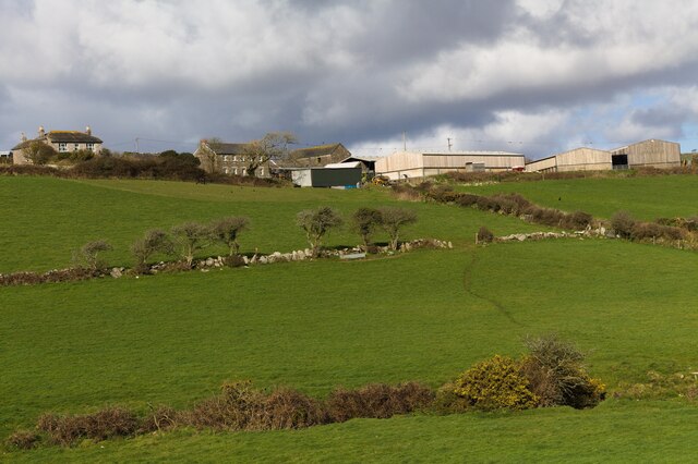
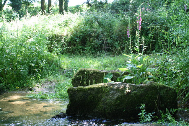
Bosvenning and Roskennals Common is a vast expanse of rugged moorland located in Cornwall, England. The common covers an area of approximately 1,500 acres and is characterized by rolling hills, heathland, and rocky outcrops. The landscape is dotted with patches of gorse, heather, and bracken, creating a colorful tapestry of vegetation.

The common is home to a variety of wildlife, including birds of prey such as buzzards and kestrels, as well as rare species of butterflies and moths. The area is also rich in archaeological sites, with ancient stone circles and burial mounds scattered throughout the landscape.

Visitors to Bosvenning and Roskennals Common can enjoy peaceful walks and hikes, taking in the stunning views of the surrounding countryside and coastline. The common is a popular spot for birdwatching, photography, and nature enthusiasts.

Overall, Bosvenning and Roskennals Common offers a tranquil escape from the hustle and bustle of modern life, allowing visitors to immerse themselves in the beauty of Cornwall's natural landscape.

If you have any feedback on the listing, please let us know in the comments section below.

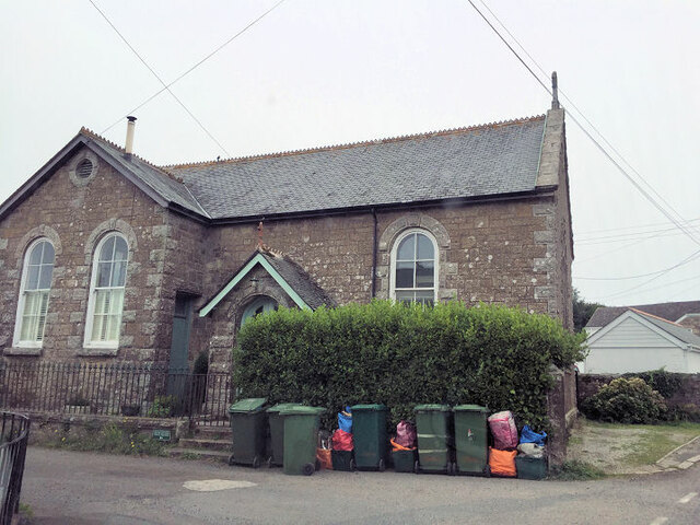
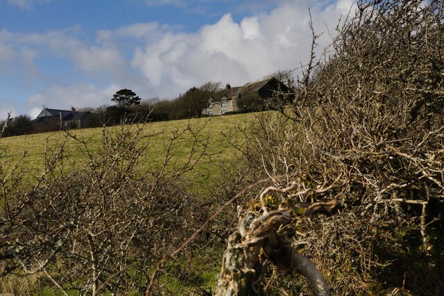
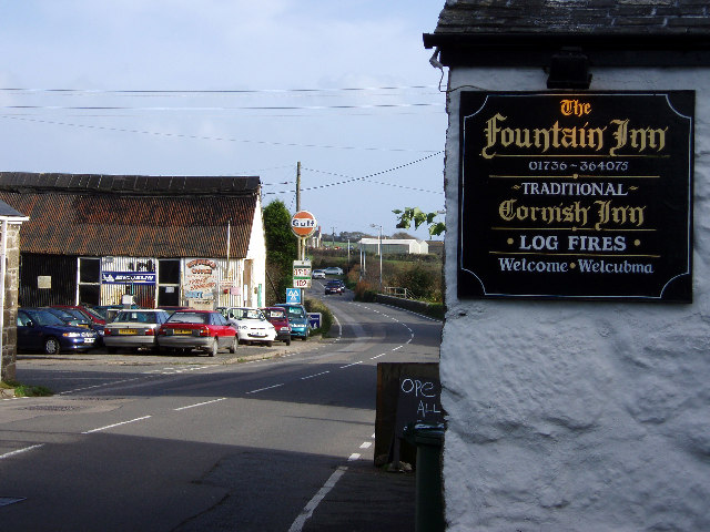
Bosvenning and Roskennals Common Images

Images are sourced within 2km of 50.127041/-5.6175591 or Grid Reference SW4131. Thanks to Geograph Open Source API. All images are credited.

Descending Sancreed Beacon As I descended Sancreed Beacon I looked across the valley. The white art deco Tregannick House was plain to see and beyond it, Trannack Farm.
Descending Sancreed Beacon
As I descended Sancreed Beacon I looked across the valley. The white art deco Tregannick House was plain to see and beyond it, Trannack Farm.
Houses near Trannack Mill
Sancreed Beacon
Sancreed Beacon
Newbridge Methodist Church
Former Bible Christian chapel
Public bridleway near Bosence After leaving the road at Lower Grumbla I walked along the public bridleway, which is tree-lined here.
Public bridleway near Bosence
After leaving the road at Lower Grumbla I walked along the public bridleway, which is tree-lined here.
View to Bosence Farm I walked uphill along the public bridleway. Standing at a field gate I looked across the valley to Bosence Farm.
View to Bosence Farm
I walked uphill along the public bridleway. Standing at a field gate I looked across the valley to Bosence Farm.
Stream in the valley The stream flows in the valley below Botrea and Bosence.
Stream in the valley
The stream flows in the valley below Botrea and Bosence.
View to Sancreed Beacon Before reaching the place where a footpath crosses the public bridleway I turned to look back. The brown hill in the distance is Sancreed Beacon.
View to Sancreed Beacon
Before reaching the place where a footpath crosses the public bridleway I turned to look back. The brown hill in the distance is Sancreed Beacon.
View to Derval Farm At the junction of the public bridleway and the lane to Bosence Farm, there's a view across the valley to Derval Farm.
View to Derval Farm
At the junction of the public bridleway and the lane to Bosence Farm, there's a view across the valley to Derval Farm.
Stream flows beneath road 1 Standing in the road, I included the stones of the bridge parapet in this shot.
Stream flows beneath road 1
Standing in the road, I included the stones of the bridge parapet in this shot.
Stream flows beneath road 2 Presumably this stream would have powered Trannack Mill.
Stream flows beneath road 2
Presumably this stream would have powered Trannack Mill.
View to Trannack Farm Looking across a field to Trannack Farm.
View to Trannack Farm
Looking across a field to Trannack Farm.
Bend in the road The road bends at 90 degrees here.
Bend in the road
The road bends at 90 degrees here.
View to Ennestreven Farm A view to Ennestreven Farm from the road beneath Sancreed Beacon.
View to Ennestreven Farm
A view to Ennestreven Farm from the road beneath Sancreed Beacon.
Botrea from the footpath Peering through the blackthorn along the side of the footpath I was able to see the buildings of Botrea.
Botrea from the footpath
Peering through the blackthorn along the side of the footpath I was able to see the buildings of Botrea.
Footpath to Botrea ascends Nearing Botrea the footpath goes up steeply for a short distance.
Footpath to Botrea ascends
Nearing Botrea the footpath goes up steeply for a short distance.
Track to Hewes Common The track branches off the road at this junction.
Track to Hewes Common
The track branches off the road at this junction.
Show me another place!

Bosvenning and Roskennals Common is located at Grid Ref: SW4131 (Lat: 50.127041, Lng: -5.6175591)

Unitary Authority: Cornwall

Police Authority: Devon and Cornwall

What 3 Words

///coast.screen.public. Near St Just, Cornwall

Related Wikis

Lower Bodinnar

Lower Bodinnar is a hamlet in the parish of Sancreed (where the 2011 census population was included.), Cornwall, England, UK. Lower Bodinnar is approximately...

Newbridge, Cornwall

Newbridge (Cornish: Hal an Tegen) is a hamlet in the civil parish of Madron on the Penwith peninsula in west Cornwall, England, United Kingdom. It is...

Sellan

Sellan is a hamlet in west Cornwall, England, United Kingdom. It lies just northeast of Sancreed. == References ==

Sancreed Beacon

Sancreed Beacon is a Bronze Age archaeological site near the village of Sancreed in the Penwith peninsula of Cornwall maintained by the Cornwall Heritage...

Nearby Amenities

Located within 500m of 50.127041,-5.6175591
Archaeological Site: tumulus
Historic: archaeological_site
Lat/Long: 50.1254326/-5.6186406
Power: pole
Lat/Long: 50.1312687/-5.6168541
Power: pole
Lat/Long: 50.1312635/-5.6180128
Power: pole
Lat/Long: 50.1312584/-5.6195068
Power: pole
Lat/Long: 50.1311926/-5.619313
Power: pole
Lat/Long: 50.1311887/-5.6181188
Power: pole
Lat/Long: 50.131199/-5.6168447
Power: pole
Lat/Long: 50.1313598/-5.6159744
Power: pole
Lat/Long: 50.1307718/-5.6150195
Power: pole
Lat/Long: 50.1300771/-5.61488
Power: pole
Transformer: distribution
Lat/Long: 50.1294461/-5.6147754
The data included in this document is from www.openstreetmap.org. The data is made available under ODbL.

Have you been to Bosvenning and Roskennals Common?

Leave your review of Bosvenning and Roskennals Common below (or comments, questions and feedback).