Bosworlas Moor
Downs, Moorland in Cornwall
England
Bosworlas Moor

Bosworlas Moor is a stunning area of upland moorland located in Cornwall, England. Covering an area of approximately 1,000 acres, the moor is characterized by its rolling hills, heather-covered slopes, and scattered rocky outcrops. The landscape is dotted with small streams and ponds, providing important habitats for a variety of wildlife species.
Bosworlas Moor is a designated Site of Special Scientific Interest (SSSI) due to its rich biodiversity and unique geological features. The moor is home to a diverse range of plant species, including heather, gorse, and bracken, as well as rare mosses and lichens. The area also supports a variety of bird species, such as skylarks, meadow pipits, and stonechats.
Visitors to Bosworlas Moor can enjoy hiking and walking trails that offer stunning views of the surrounding countryside. The moor is also a popular destination for birdwatching, with many birdwatchers flocking to the area to catch a glimpse of the diverse avian species that call the moor home. Overall, Bosworlas Moor is a beautiful and tranquil spot that offers visitors a chance to connect with nature and enjoy the rugged beauty of Cornwall's countryside.
If you have any feedback on the listing, please let us know in the comments section below.
Bosworlas Moor Images
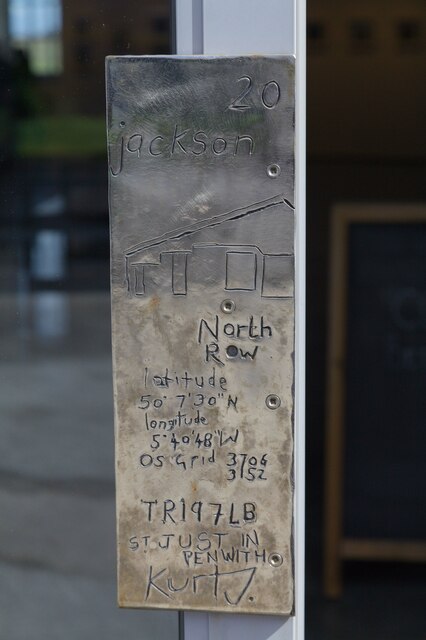
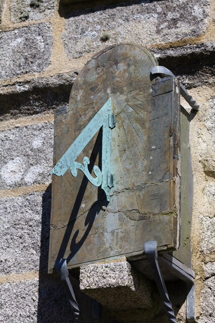
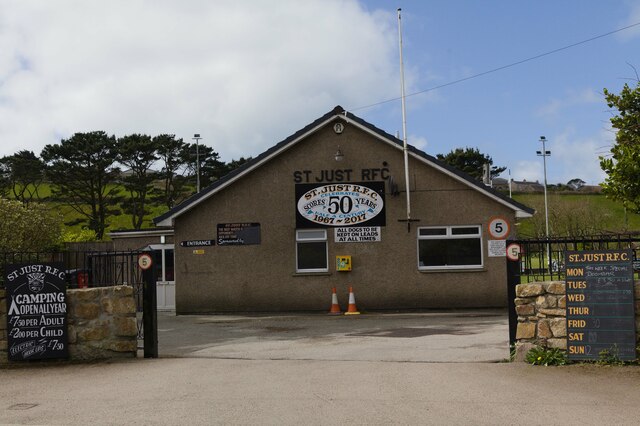
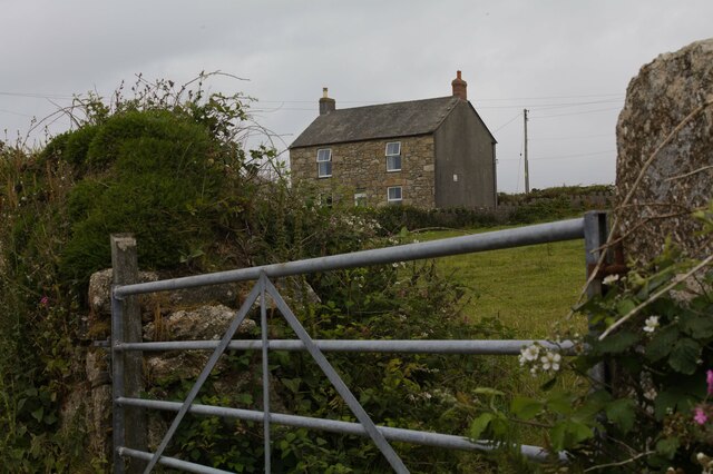
Images are sourced within 2km of 50.115118/-5.6640484 or Grid Reference SW3830. Thanks to Geograph Open Source API. All images are credited.


Bosworlas Moor is located at Grid Ref: SW3830 (Lat: 50.115118, Lng: -5.6640484)
Unitary Authority: Cornwall
Police Authority: Devon and Cornwall
What 3 Words
///schooling.polite.cars. Near St Just, Cornwall
Nearby Locations
Related Wikis

Kelynack
Kelynack (from Cornish: Kelynek is a settlement in west Cornwall, England, UK. == Geography == Kelynack is on the Penwith peninsula approximately four...

Lower Bostraze and Leswidden SSSI
Lower Bostraze And Leswidden SSSI is a biological Site of Special Scientific Interest, located on the Penwith Peninsula, Cornwall, England, a little to...

Land's End Airport
Land's End Airport (IATA: LEQ, ICAO: EGHC), situated near St Just in Penwith, 5 NM (9.3 km; 5.8 mi) west of Penzance, in Cornwall, is the most south westerly...

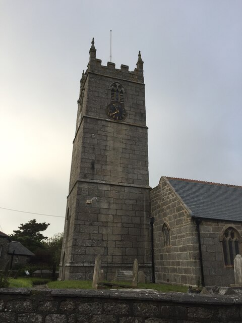
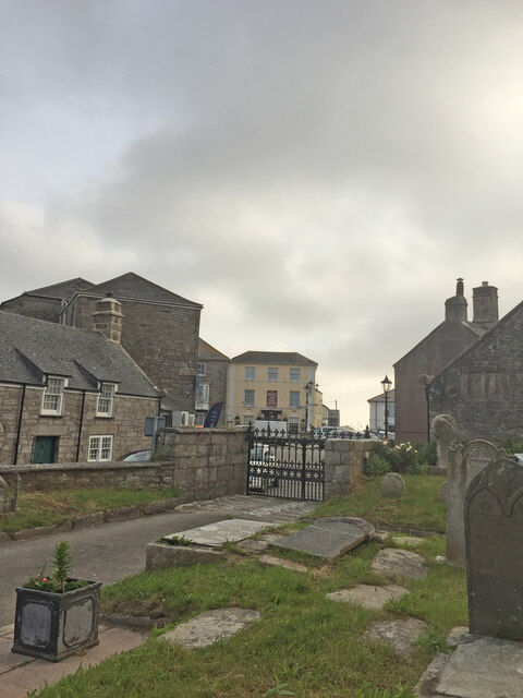
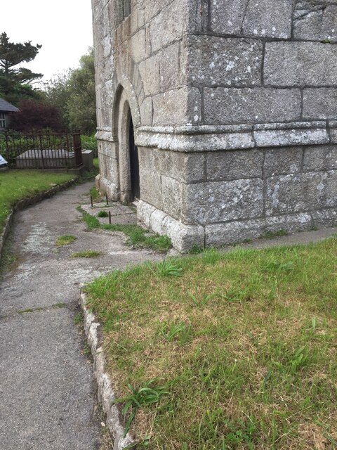
St Just in Penwith Parish Church
St Just in Penwith Parish Church is a parish church in the Church of England located in St Just in Penwith, Cornwall, UK. == History == The church is dedicated...
Nearby Amenities
Located within 500m of 50.115118,-5.6640484Have you been to Bosworlas Moor?
Leave your review of Bosworlas Moor below (or comments, questions and feedback).